Little Adam's Wood
Wood, Forest in Gloucestershire Forest of Dean
England
Little Adam's Wood
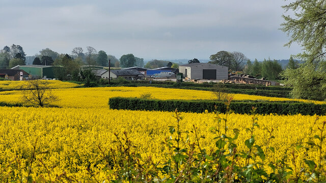
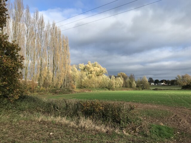
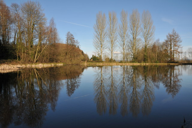
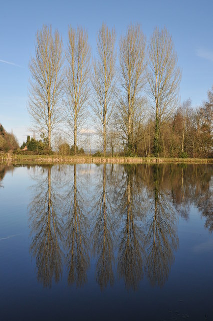
Little Adam's Wood is a charming and picturesque woodland located in Gloucestershire, England. Covering an area of approximately 50 acres, this forested haven is nestled within the rolling hills of the Cotswolds.
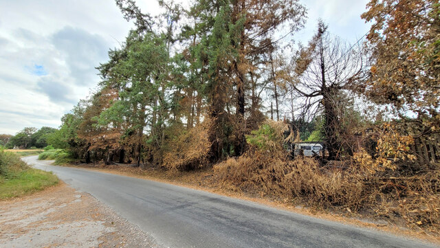
The wood is predominantly composed of native broadleaf trees, such as oak, birch, and beech, creating a diverse and vibrant ecosystem. These trees provide a dense canopy that offers shade and shelter to an array of wildlife, including birds, squirrels, and deer.
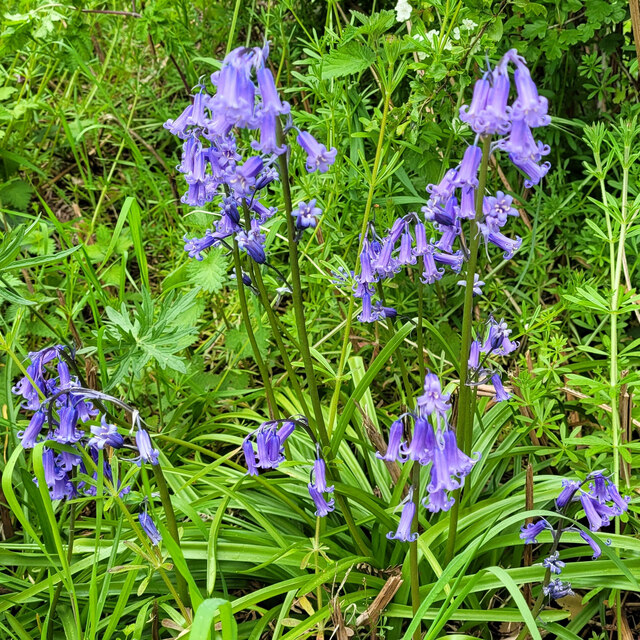
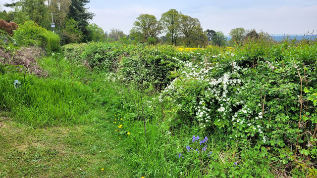
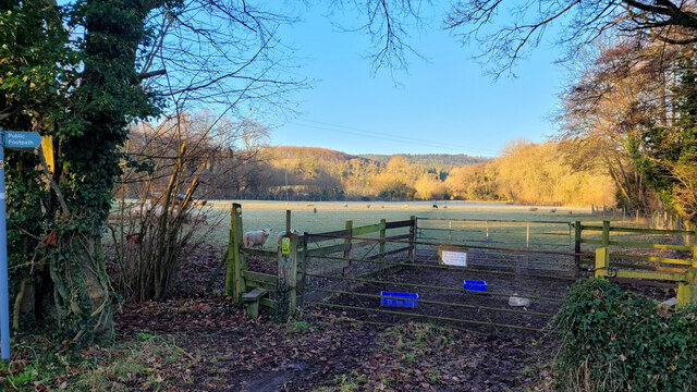
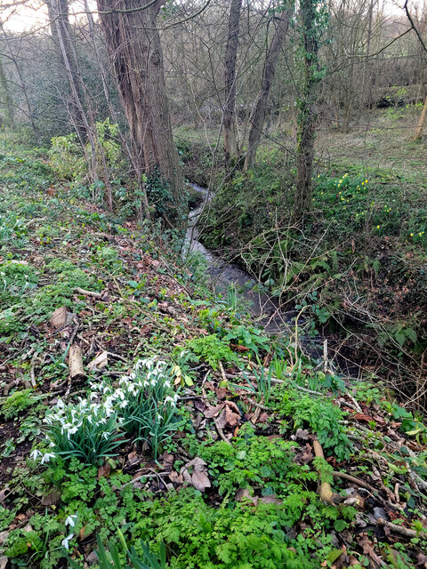
The woodland floor is carpeted with an assortment of wildflowers, ferns, and mosses, adding to the enchanting atmosphere of the wood. Numerous footpaths wind their way through the forest, inviting visitors to explore its beauty and tranquility. These well-maintained trails offer breathtaking views of the surrounding countryside and are popular with both hikers and nature enthusiasts.
Little Adam's Wood is also home to a variety of rare and protected plant species, including the delicate yellow star of Bethlehem and the vibrant purple orchid. This makes it an important conservation site, attracting botanists and researchers who study and monitor the flora and fauna within the wood.
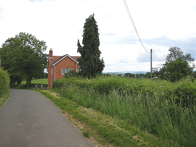
The wood is open to the public year-round and provides a peaceful retreat for those seeking solace in nature. Its close proximity to nearby villages and towns makes it easily accessible for both locals and tourists alike. Little Adam's Wood truly offers a slice of natural beauty and tranquility in the heart of Gloucestershire.
If you have any feedback on the listing, please let us know in the comments section below.
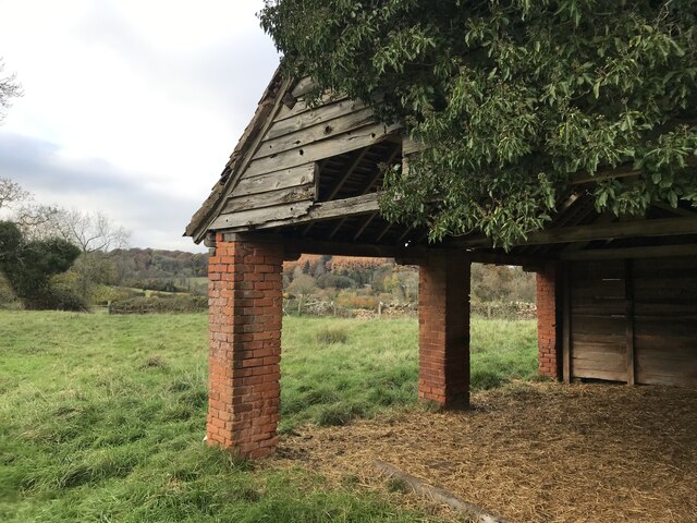
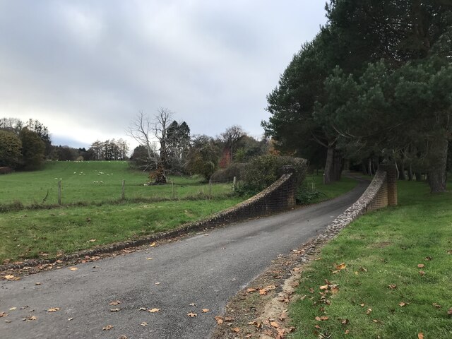
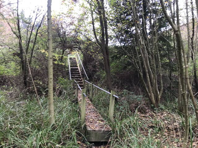
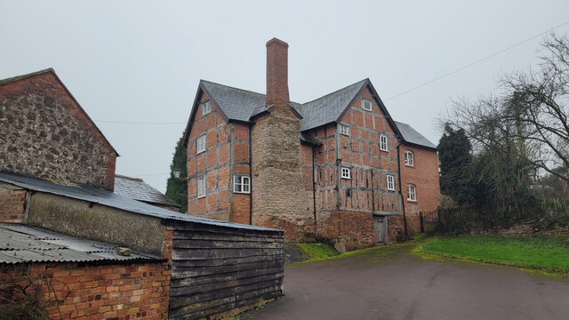
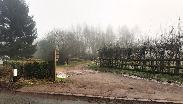
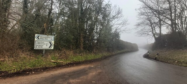
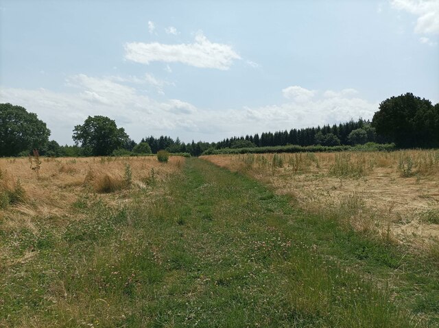
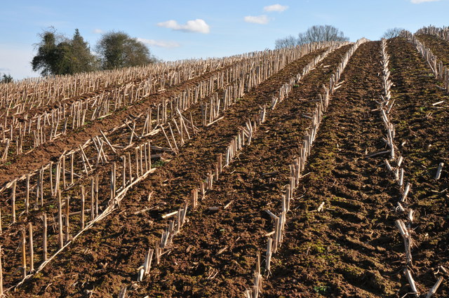
Little Adam's Wood Images
Images are sourced within 2km of 51.879484/-2.3978373 or Grid Reference SO7220. Thanks to Geograph Open Source API. All images are credited.
Little Adam's Wood is located at Grid Ref: SO7220 (Lat: 51.879484, Lng: -2.3978373)
Administrative County: Gloucestershire
District: Forest of Dean
Police Authority: Gloucestershire
What 3 Words
///mull.anyone.configure. Near Huntley, Gloucestershire
Nearby Locations
Related Wikis

Taynton, Gloucestershire
Taynton is a village and civil parish in the Forest of Dean district of Gloucestershire, England. It lies about 2.5 miles (4.0 km) south-east of Newent...

Huntley, Gloucestershire
Huntley, Gloucestershire, is a village on the A40 located seven miles (11 km) west of Gloucester. It is in the north of the Forest of Dean. == History... ==
Anthony's Cross
Anthony's Cross is a hamlet in Gloucestershire, England. == External links == Media related to Anthony's Cross at Wikimedia Commons
The Mount, Nottswood Hill
The Mount, Nottswood Hill, is a grade II listed house near Blaisdon in Gloucestershire. The house is thought to have been rebuilt in the later nineteenth...
Nearby Amenities
Located within 500m of 51.879484,-2.3978373Have you been to Little Adam's Wood?
Leave your review of Little Adam's Wood below (or comments, questions and feedback).