Great Adam's Wood
Wood, Forest in Gloucestershire Forest of Dean
England
Great Adam's Wood
Great Adam's Wood is a sprawling forest located in the county of Gloucestershire, England. Covering an extensive area, the wood is nestled within the picturesque landscape of the Cotswolds, renowned for its natural beauty. It is a popular destination for nature enthusiasts and outdoor adventurers alike.
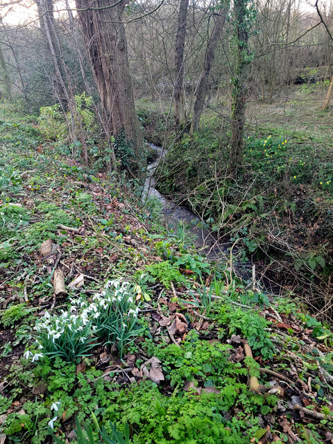
The wood is primarily composed of deciduous trees such as oak, ash, beech, and birch, creating a dense and diverse canopy that provides habitat for a wide variety of flora and fauna. The forest floor is adorned with an array of wildflowers, ferns, and mosses, adding to the enchanting atmosphere.
The wood is crisscrossed by a network of walking trails, allowing visitors to explore its captivating beauty at their own pace. These trails wind through the ancient woodland, taking hikers past ancient trees, babbling brooks, and scenic viewpoints. The wood is also home to numerous species of wildlife, including deer, foxes, badgers, and a rich variety of birdlife, making it a haven for wildlife enthusiasts and birdwatchers.
Throughout the year, the wood undergoes a transformation of colors, from the vibrant greens of spring and summer to the rich hues of autumn. During this time, the forest becomes a tapestry of reds, oranges, and yellows, attracting photographers and nature lovers from far and wide.
Great Adam's Wood, Gloucestershire, offers a truly immersive experience in nature, where visitors can connect with the peacefulness of the wood and marvel at its natural wonders.
If you have any feedback on the listing, please let us know in the comments section below.
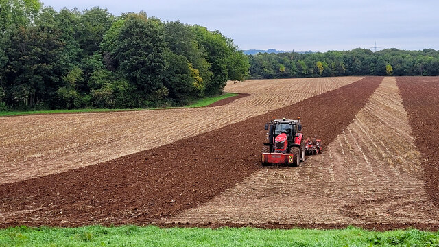
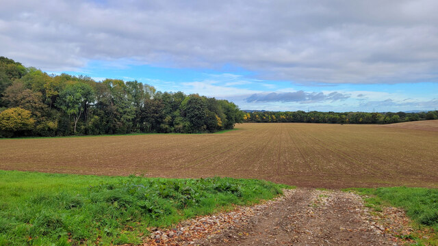
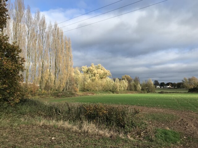
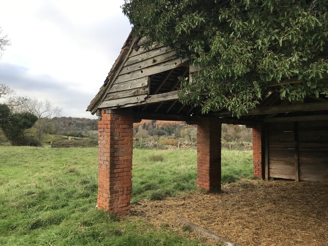
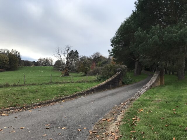
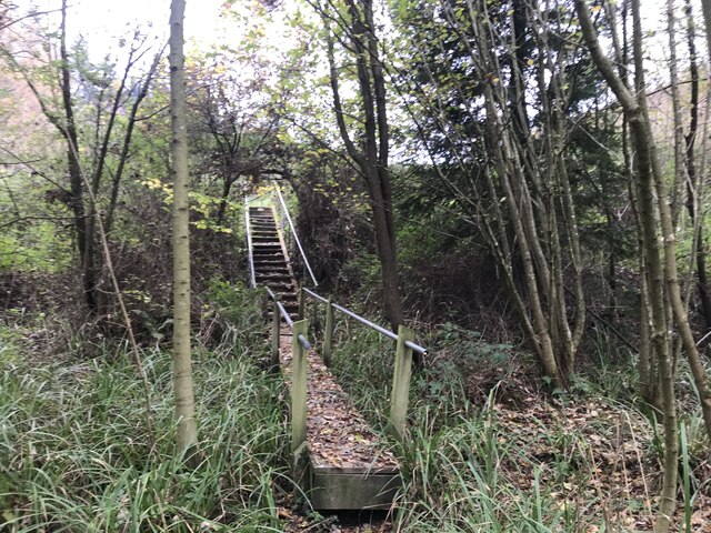
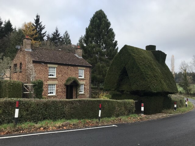
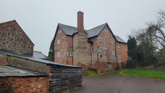
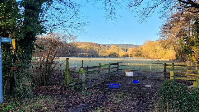
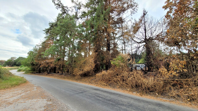
Great Adam's Wood Images
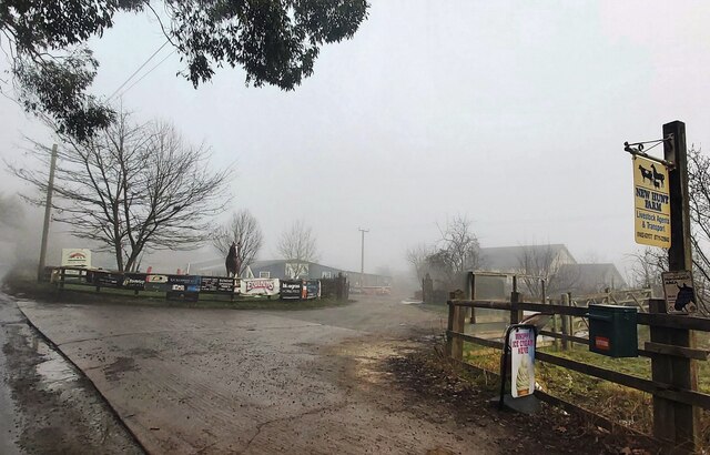
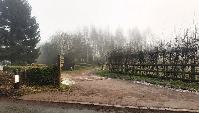
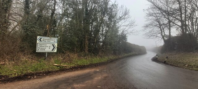
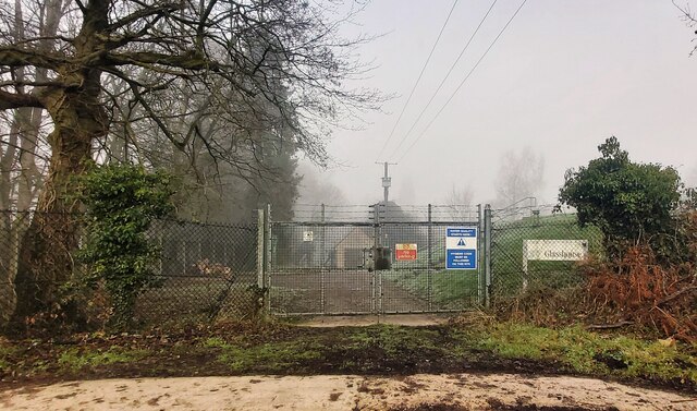
Images are sourced within 2km of 51.880111/-2.4012713 or Grid Reference SO7220. Thanks to Geograph Open Source API. All images are credited.
Great Adam's Wood is located at Grid Ref: SO7220 (Lat: 51.880111, Lng: -2.4012713)
Administrative County: Gloucestershire
District: Forest of Dean
Police Authority: Gloucestershire
What 3 Words
///built.unsecured.charities. Near Huntley, Gloucestershire
Nearby Locations
Related Wikis

Taynton, Gloucestershire
Taynton is a village and civil parish in the Forest of Dean district of Gloucestershire, England. It lies about 2.5 miles (4.0 km) south-east of Newent...

Huntley, Gloucestershire
Huntley, Gloucestershire, is a village on the A40 located seven miles (11 km) west of Gloucester. It is in the north of the Forest of Dean. == History... ==
Anthony's Cross
Anthony's Cross is a hamlet in Gloucestershire, England. == External links == Media related to Anthony's Cross at Wikimedia Commons
The Mount, Nottswood Hill
The Mount, Nottswood Hill, is a grade II listed house near Blaisdon in Gloucestershire. The house is thought to have been rebuilt in the later nineteenth...

Hobbs Quarry SSSI, Longhope
Hobbs Quarry, Longhope (grid reference SO695195) is a 1-hectare (2.5-acre) geological and biological Site of Special Scientific Interest in Gloucestershire...

Cliffords Mesne
Cliffords Mesne is an English village in Gloucestershire, two miles (3.2 km) south-west of the town of Newent. It became the home of the autobiographical...

May Hill
May Hill is a prominent English hill between Gloucester and Ross-on-Wye. Its summit, on the western edge of Gloucestershire and its northern slopes in...
Longhope Hill
Longhope Hill (grid reference SO693185) is a 0.2-hectare (0.49-acre) geological Site of Special Scientific Interest in Gloucestershire, notified in 1989...
Nearby Amenities
Located within 500m of 51.880111,-2.4012713Have you been to Great Adam's Wood?
Leave your review of Great Adam's Wood below (or comments, questions and feedback).