Rookhill Coppice

Wood, Forest in Herefordshire

England

Rookhill Coppice

Grazing towards the Sapey Brook
Grazing towards the Sapey Brook Credit: JThomas

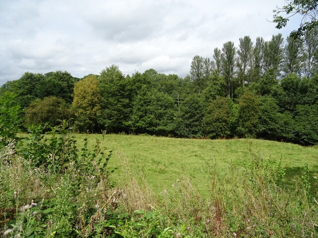
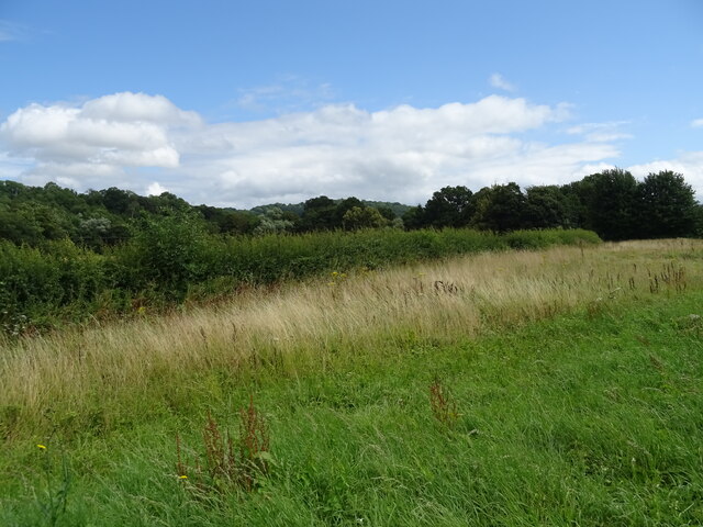
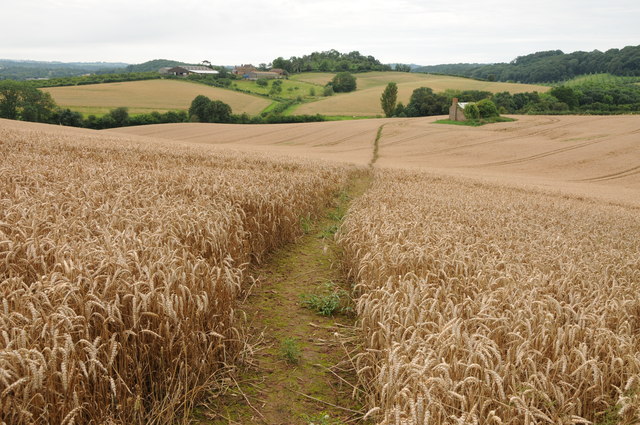
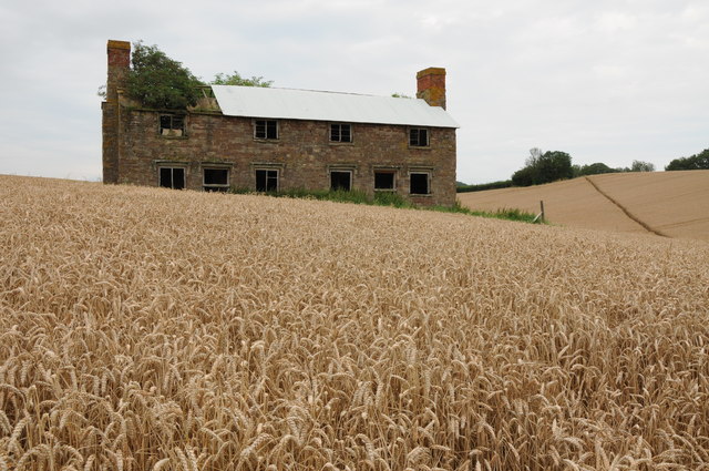
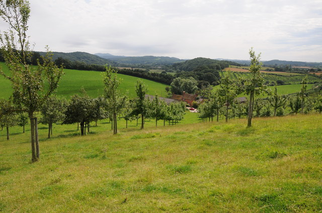
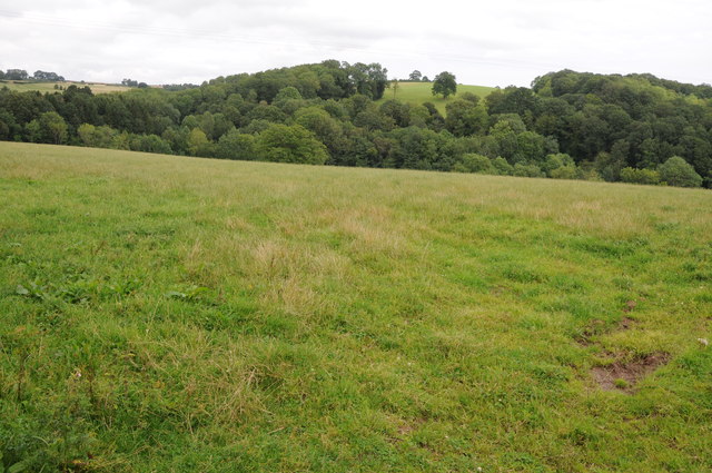
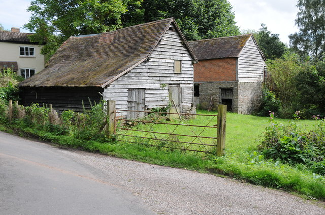
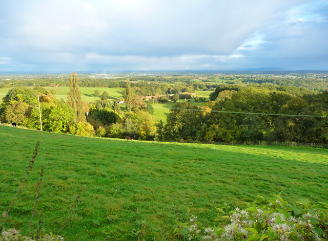
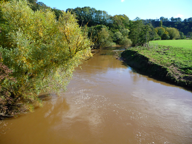
Rookhill Coppice is a picturesque woodland located in the county of Herefordshire, England. Spanning approximately 50 acres, it is known for its natural beauty and diverse ecosystem. The coppice is situated in a rural area, surrounded by fields and rolling hills, providing a tranquil escape from the hustle and bustle of everyday life.

The woodland is primarily composed of deciduous trees, including oak, ash, and beech, which create a dense canopy overhead. The forest floor is carpeted with a variety of flora, such as bluebells, ferns, and wild garlic, adding to the charm and enchantment of the area. The rich biodiversity of Rookhill Coppice provides a habitat for numerous species of birds, mammals, and insects, making it a haven for wildlife enthusiasts and nature lovers.

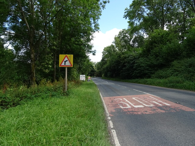
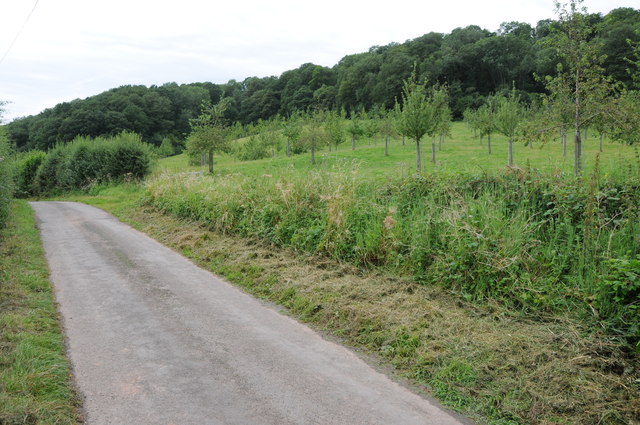
There are several well-maintained footpaths that meander through the coppice, allowing visitors to explore its hidden treasures. These paths offer opportunities for leisurely walks, birdwatching, or simply enjoying the peaceful ambiance of the woodland. The atmosphere is particularly enchanting during the spring and summer months when the trees are in full bloom and the air is filled with the sweet fragrance of wildflowers.

Rookhill Coppice is a popular destination for both locals and tourists seeking an escape into nature. Its idyllic setting and diverse ecosystem make it a perfect location for outdoor activities, such as picnicking, photography, or even painting. The woodland's serene and tranquil atmosphere offers a welcome respite from the demands of modern life, making it a true gem in the heart of Herefordshire.

If you have any feedback on the listing, please let us know in the comments section below.

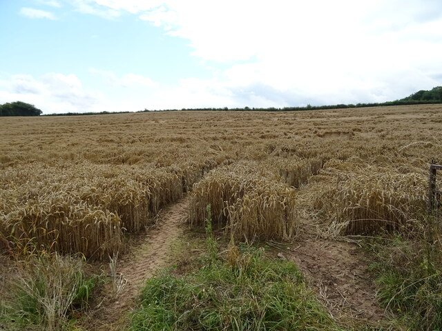
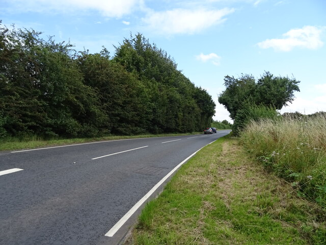
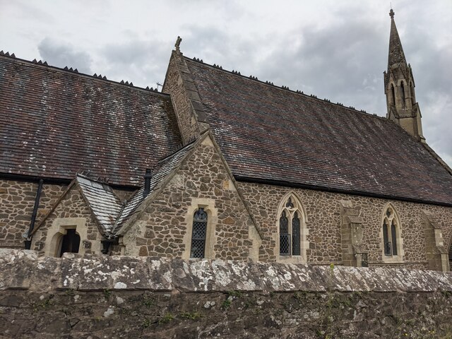
Rookhill Coppice Images

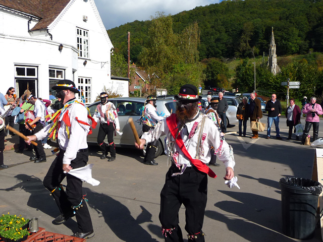
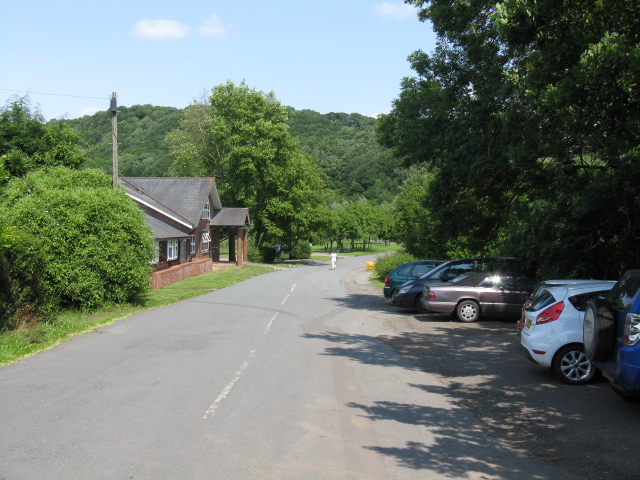
Images are sourced within 2km of 52.216801/-2.4043882 or Grid Reference SO7257. Thanks to Geograph Open Source API. All images are credited.

Grazing towards the Sapey Brook
A44 approaching Sapey Bridge Towards Worcester.
A44 approaching Sapey Bridge
Towards Worcester.
The Wheatsheaf, Whitbourne Currently closed and for sale.
The Wheatsheaf, Whitbourne
Currently closed and for sale.
Sign for the Wheatsheaf, Whitbourne
Grassland beside the A44, Sapey Bridge
Cereal crop, Sapey Bridge South of the A44.
Cereal crop, Sapey Bridge
South of the A44.
A44, Sapey Bridge Towards Worcester.
A44, Sapey Bridge
Towards Worcester.
Former St. Mary's church (Knightwick) Built by A. E. Jenkins in 1856, the church was converted as a private house in the 2000s. This was taken from the B4197 road.
Former St. Mary's church (Knightwick)
Built by A. E. Jenkins in 1856, the church was converted as a private house in the 2000s. This was taken from the B4197 road.
Footpath through a wheat field Footpath through a wheat field in the Teme valley with the farm at Tedney House in the near distance.
Footpath through a wheat field
Footpath through a wheat field in the Teme valley with the farm at Tedney House in the near distance.
Abandoned Hillhouse Cottages Now completely surrounded by a crop of wheat, even now Hillhouse Cottages display a robustness.  They echo the feeling that they belong on a windswept Bronte moorland.
Abandoned Hillhouse Cottages
Now completely surrounded by a crop of wheat, even now Hillhouse Cottages display a robustness. They echo the feeling that they belong on a windswept Bronte moorland.
Tedney Bank No through road and orchard below Tedney Bank.
Tedney Bank
No through road and orchard below Tedney Bank.
View from Tedney Bank View towards the Malvern Hills and Suckley Hills from Tedney Bank with Lower Tedney Farm below.
View from Tedney Bank
View towards the Malvern Hills and Suckley Hills from Tedney Bank with Lower Tedney Farm below.
Field above Whitbourne Brook Field above Whitbourne Brook to the north of the village of Whitbourne.
Field above Whitbourne Brook
Field above Whitbourne Brook to the north of the village of Whitbourne.
Barns at Whitbourne A pair of traditional barns beside the road in Whitbourne.
Barns at Whitbourne
A pair of traditional barns beside the road in Whitbourne.
Collin's Green The view from the side of the B4197.
Collin's Green
The view from the side of the B4197.
River Teme at Knightwick Looking downstream from the footbridge.
River Teme at Knightwick
Looking downstream from the footbridge.
Festivities outside The Talbot Sunday lunchtime at The Talbot, with morris dancing, a farmers' market, a beer festival and Sunday roasts in the pub. All very English.
Festivities outside The Talbot
Sunday lunchtime at The Talbot, with morris dancing, a farmers' market, a beer festival and Sunday roasts in the pub. All very English.
Former A44 at Knightwick surgery The course of the original A44 now provides access to the local doctors' surgery among other premises.
Former A44 at Knightwick surgery
The course of the original A44 now provides access to the local doctors' surgery among other premises.
Show me another place!

Rookhill Coppice is located at Grid Ref: SO7257 (Lat: 52.216801, Lng: -2.4043882)

Unitary Authority: County of Herefordshire

Police Authority: West Mercia

What 3 Words

///extent.preoccupied.surround. Near Bromyard, Herefordshire

Nearby Locations

Rookhill Coppice

Related Wikis

Whitbourne, Herefordshire

Whitbourne (Anglo-Saxon for "white stream") is a village in Eastern Herefordshire, England on the banks of the River Teme and close to the A44. It is close...

Horsham, Worcestershire

Horsham is a village in Worcestershire, England. Remains of an old Iron Age fort are located within the village. == External links ==

Ankerdine Hill

Ankerdine Hill is a hill with a summit at 149 metres (489 ft) above sea level, in the civil parish of Doddenham in the Malvern Hills district of Worcestershire...

Knightwick

Knightwick is a small village and civil parish (with Doddenham) in the Malvern Hills district in the county of Worcestershire, England. == History... ==

Nearby Amenities

Located within 500m of 52.216801,-2.4043882
Highfields Farm
Power: pole
Transformer: distribution
Voltage Primary: 11000
Lat/Long: 52.2185098/-2.4085808
Power: pole
Lat/Long: 52.2191248/-2.4094478
Power: pole
Lat/Long: 52.2197303/-2.4095906
Whitbourne Pumping Station
Power: transformer
Transformer: distribution
Voltage Primary: 11000
Lat/Long: 52.2135925/-2.4005274
Boat Lane
Power: pole
Transformer: distribution
Voltage Primary: 11000
Lat/Long: 52.2136973/-2.4004202
Power: pole
Lat/Long: 52.2135555/-2.4013831
Power: pole
Lat/Long: 52.2133538/-2.4028616
Power: pole
Lat/Long: 52.2130025/-2.4034953
Power: pole
Lat/Long: 52.2126808/-2.4040713
Power: pole
Lat/Long: 52.2124638/-2.4044495
Finchers Farm
Power: pole
Transformer: distribution
Voltage Primary: 11000
Lat/Long: 52.2146587/-2.4089523
Mowers
Power: pole
Transformer: distribution
Voltage Primary: 11000
Lat/Long: 52.214164/-2.4093251
Power: pole
Lat/Long: 52.2136804/-2.4096738
The data included in this document is from www.openstreetmap.org. The data is made available under ODbL.

Have you been to Rookhill Coppice?

Leave your review of Rookhill Coppice below (or comments, questions and feedback).