Barrow Copse
Wood, Forest in Somerset Mendip
England
Barrow Copse
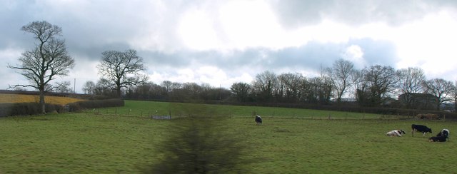
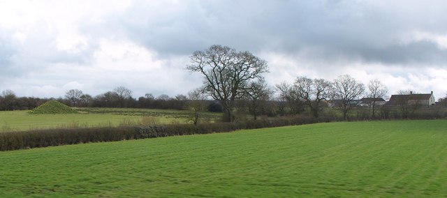
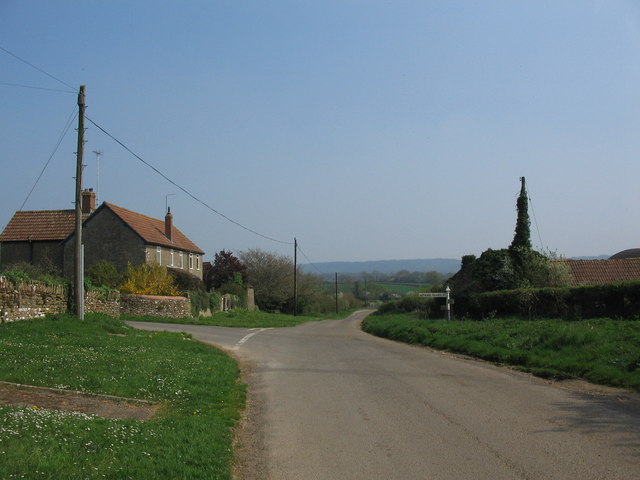
Barrow Copse is a picturesque woodland located in Somerset, England. Spanning over a vast area, this enchanting forest is known for its rich biodiversity and stunning natural beauty.
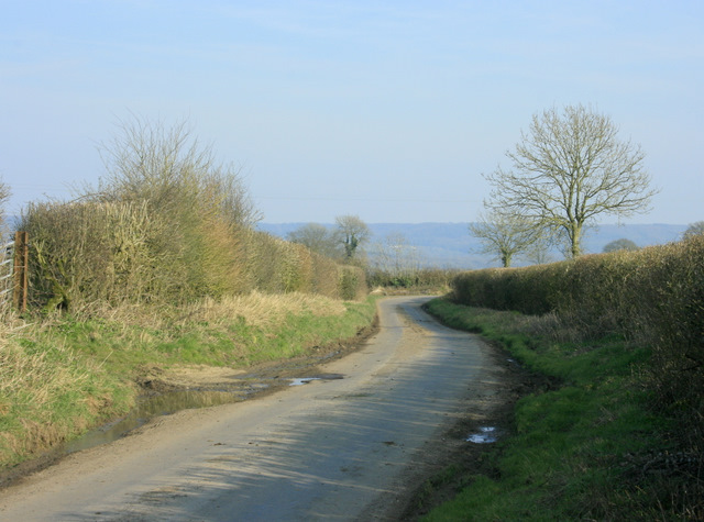
Situated near the village of Barrow Gurney, the copse is easily accessible and attracts nature enthusiasts, hikers, and photographers alike. As you step into the woodland, you are immediately greeted by a serene atmosphere and the gentle rustling of leaves. The forest floor is carpeted with a thick layer of moss and ferns, creating a lush green landscape that is a feast for the eyes.
Barrow Copse is home to a diverse range of plant and animal species. Towering oak and beech trees dominate the canopy, providing a sheltered habitat for a variety of woodland creatures such as deer, squirrels, and numerous bird species. The copse also boasts a vibrant display of wildflowers during the spring and summer months, including bluebells, primroses, and foxgloves.
Tranquil walking trails wind their way through the copse, allowing visitors to explore the woodland at their own pace. These paths are well-maintained and offer breathtaking views of the surrounding countryside. There are also designated picnic areas where visitors can relax and enjoy a meal amidst the natural splendor.
Overall, Barrow Copse in Somerset is a haven for nature lovers seeking solace in the beauty of the outdoors. With its diverse wildlife, scenic trails, and serene ambiance, this woodland is a must-visit destination for anyone looking to immerse themselves in the wonders of nature.
If you have any feedback on the listing, please let us know in the comments section below.
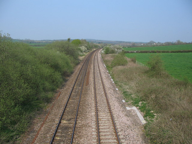
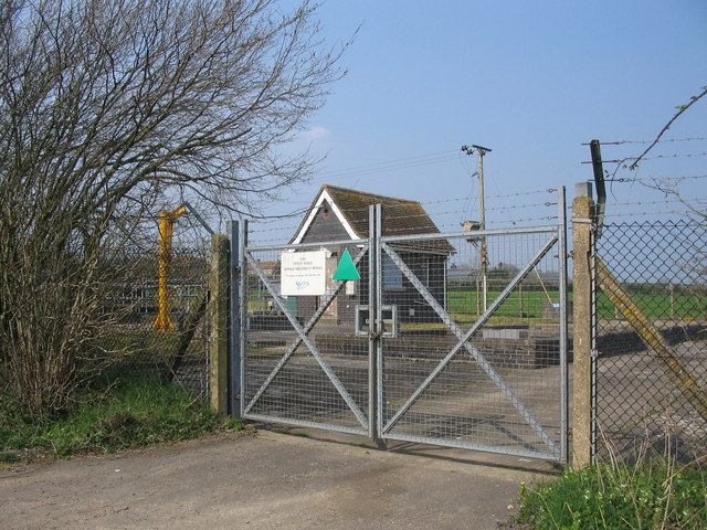
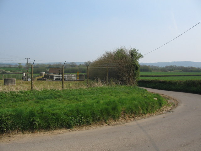
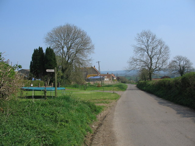
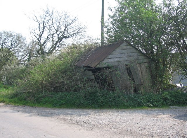
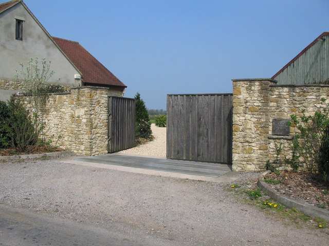
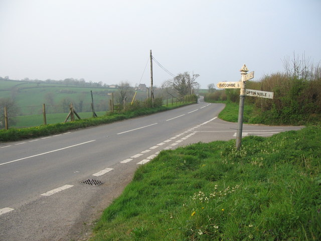
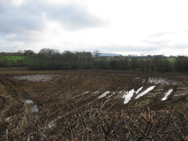
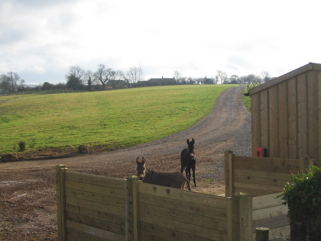
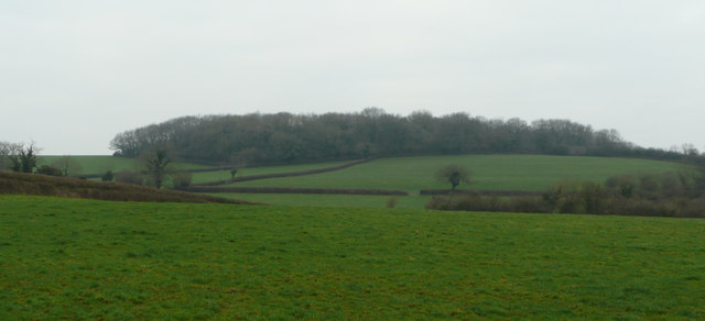
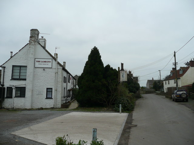
Barrow Copse Images
Images are sourced within 2km of 51.158691/-2.3950771 or Grid Reference ST7240. Thanks to Geograph Open Source API. All images are credited.

Barrow Copse is located at Grid Ref: ST7240 (Lat: 51.158691, Lng: -2.3950771)
Administrative County: Somerset
District: Mendip
Police Authority: Avon and Somerset
What 3 Words
///estate.strutting.maps. Near Kilmington, Wiltshire
Nearby Locations
Related Wikis
Upton Noble
Upton Noble is a village and civil parish on the River Frome. It is roughly 4.5 miles (7 km) north-east of Bruton, and 7 miles (11 km) from Frome town...
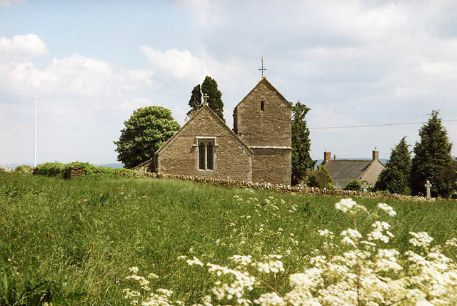
Church of St Mary Magdalene, Upton Noble
The Anglican Church Of St Mary and St John in Upton Noble, within the English county of Somerset, was built in the 12th century. It is a Grade II* listed...

Wanstrow
Wanstrow is a village and civil parish 6 miles (9.7 km) south west of Frome in Somerset, England. The parish includes the village of Cloford. == History... ==

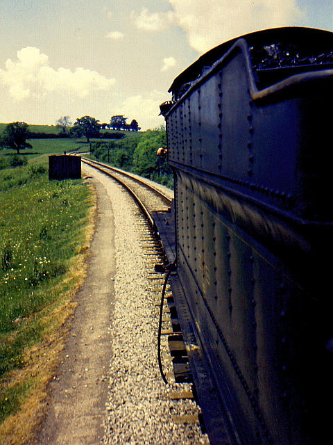
Wanstrow railway station
Wanstrow railway station was a small station on the East Somerset Railway serving the village of Wanstrow in Somerset. The East Somerset Railway opened...

Witham Charterhouse
Witham Charterhouse, also Witham Priory, at Witham Friary, Somerset, was established in 1178/79, the earliest of the ten medieval Carthusian houses (charterhouses...

Church of St Mary, Witham Friary
The Church of St Mary in Witham Friary, Somerset, England, dates from around 1200 and it has been designated as a Grade I listed building.The church was...

Church of St Mary, Wanstrow
The Anglican Church Of St Mary in Wanstrow, within the English county of Somerset, was built in the 15th century. It is a Grade II* listed building.The...

Witham (Somerset) railway station
This station in Somerset is closed. For the open station in East Anglia, see Witham railway station.Witham (Somerset) railway station was a station serving...
Have you been to Barrow Copse?
Leave your review of Barrow Copse below (or comments, questions and feedback).