Upton Wood

Wood, Forest in Somerset Mendip

England

Upton Wood

Cattle by Strap Lane And by the GWR, from which this was taken, hence the blurred bush in the foreground, with hedgerow oaks on the left, and a barn at White Oak Farm on the right, by the tree-lined Strap Lane.
Cattle by Strap Lane Credit: Derek Harper

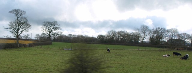
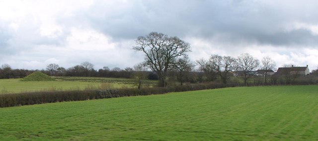
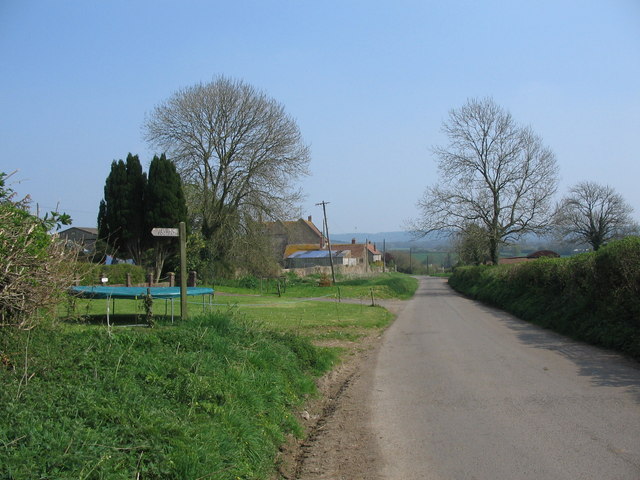
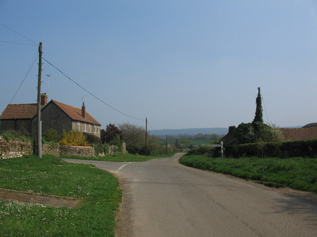
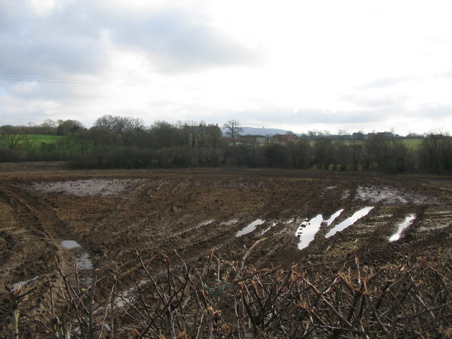
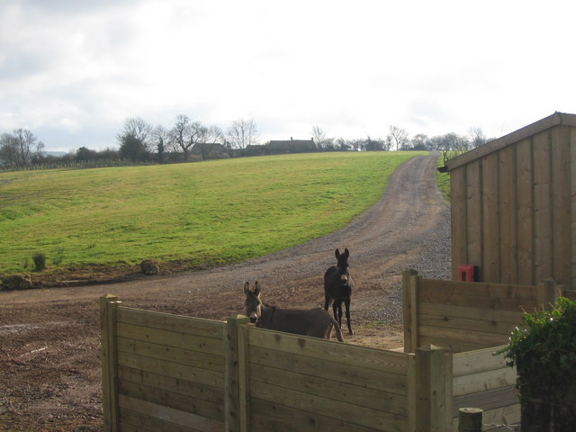
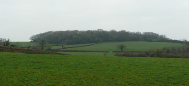
Upton Wood is a stunning forest located in Somerset, England. It covers an approximate area of 50 hectares and is known for its rich biodiversity and natural beauty. The wood is situated near the village of Upton, making it easily accessible for visitors.

The woodland is primarily composed of broadleaf trees, including oak, beech, and ash, which create a dense canopy that provides shelter for a variety of wildlife. These trees also contribute to the vibrant colors that the wood displays during the autumn season. Upton Wood is a haven for birdwatching enthusiasts, as it is home to a wide range of bird species, including woodpeckers, owls, and several migratory birds.

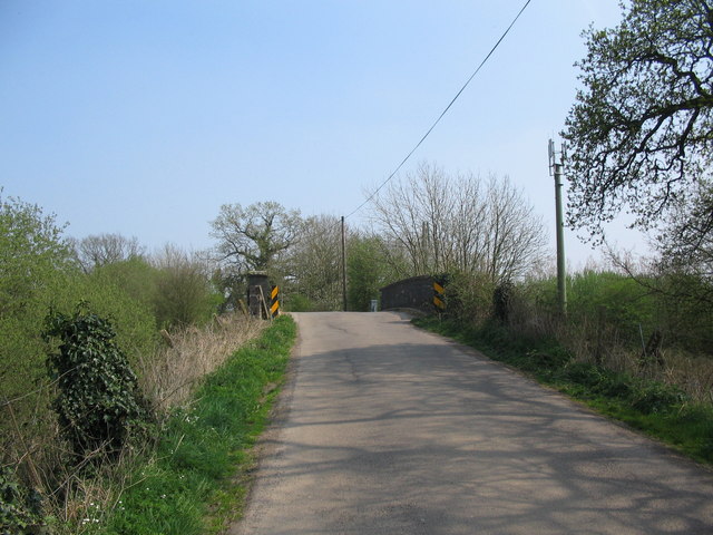
The forest is crisscrossed with a network of well-maintained trails, allowing visitors to explore and appreciate the beauty of the wood. These trails offer different levels of difficulty, catering to both casual walkers and more experienced hikers. Along the paths, visitors can discover numerous wildflowers, ferns, and mosses, adding to the wood's natural charm.

Upton Wood is also notable for its historical significance. It has been managed by the Forestry Commission since the early 20th century and has played a crucial role in providing timber for local industries. Today, the wood continues to be sustainably managed, ensuring a healthy ecosystem and preserving its natural heritage for future generations to enjoy.

Overall, Upton Wood in Somerset is a picturesque forest that offers a peaceful retreat for nature lovers. Its diverse flora and fauna, scenic trails, and rich history make it an ideal destination for anyone seeking to connect with the natural world.

If you have any feedback on the listing, please let us know in the comments section below.

Upton Wood Images

Images are sourced within 2km of 51.161036/-2.3984434 or Grid Reference ST7240. Thanks to Geograph Open Source API. All images are credited.

Cattle by Strap Lane And by the GWR, from which this was taken, hence the blurred bush in the foreground, with hedgerow oaks on the left, and a barn at White Oak Farm on the right, by the tree-lined Strap Lane.
Cattle by Strap Lane
And by the GWR, from which this was taken, hence the blurred bush in the foreground, with hedgerow oaks on the left, and a barn at White Oak Farm on the right, by the tree-lined Strap Lane.
Farmland near Upton Noble With hedgerow oak trees, and a curious pyramid in the next field, its northern face covered in daffodils. Down's Farm, to the right, is in <a href="https://www.geograph.org.uk/gridref/ST7339">ST7339</a>. View from a train on the Bruton-Westbury stretch of the main line.
Farmland near Upton Noble
With hedgerow oak trees, and a curious pyramid in the next field, its northern face covered in daffodils. Down's Farm, to the right, is in ST7339. View from a train on the Bruton-Westbury stretch of the main line.
St Mary's Church, Wanstrow
Church Street, Wanstrow
Train for Yatton climbs away from Witham A train on the Cheddar Valley (Strawberry) line to Yatton climbs away from Witham Friary, hauled by a GWR 0-6-0 steam locomotive.
Train for Yatton climbs away from Witham
A train on the Cheddar Valley (Strawberry) line to Yatton climbs away from Witham Friary, hauled by a GWR 0-6-0 steam locomotive.
Upton Noble church Dedicated to St Mary Magdalen
Upton Noble church
Dedicated to St Mary Magdalen
Strap Lane A view looking east along Strap Lane towards the bridge over the railway.
Strap Lane
A view looking east along Strap Lane towards the bridge over the railway.
Twin tracks A view looking north along the railway line, from the overbridge on Strap Lane
Twin tracks
A view looking north along the railway line, from the overbridge on Strap Lane
Upton Noble sewage treatment works A view looking to the north towards the Upton Noble sewage treatment works.
Upton Noble sewage treatment works
A view looking to the north towards the Upton Noble sewage treatment works.
Bend on Strap Lane A view looking to the east from the sharp bend on Strap Lane, towards Upton Noble sewage treatment works.
Bend on Strap Lane
A view looking to the east from the sharp bend on Strap Lane, towards Upton Noble sewage treatment works.
Approaching Bellerica Farm A view looking to the southeast along Strap Lane showing the point at which the public footpath from Upton Noble joins the lane, next to Bellerica Farm (on the left). Millers Farm is in the distance
Approaching Bellerica Farm
A view looking to the southeast along Strap Lane showing the point at which the public footpath from Upton Noble joins the lane, next to Bellerica Farm (on the left). Millers Farm is in the distance
Millers Farm A view looking to the southeast along Strap Lane, towards the junction with Crosselm Road at Millers Farm.
Millers Farm
A view looking to the southeast along Strap Lane, towards the junction with Crosselm Road at Millers Farm.
Shed at Hill View Farm A view looking to the south from Strap Lane towards a ramshackle shed at the entrance to Hill View Farm.
Shed at Hill View Farm
A view looking to the south from Strap Lane towards a ramshackle shed at the entrance to Hill View Farm.
Crossroads on the A359 A view looking to the northwest across a crossroads on the A359, towards the stile at the start of the public footpath to Eastcombe Farm.
Crossroads on the A359
A view looking to the northwest across a crossroads on the A359, towards the stile at the start of the public footpath to Eastcombe Farm.
Farmland near Witham Friary A view looking to the southeast across farmland and a railway line, towards Little West Barn Farm.  Alfreds Tower can be seen on the skyline in the distance.
Farmland near Witham Friary
A view looking to the southeast across farmland and a railway line, towards Little West Barn Farm. Alfreds Tower can be seen on the skyline in the distance.
Track at Little West Barn Farm. A view looking to the south along the course of a track at Little West Barn Farm.  This track does not appear on my edition of the OS map (or on the Get-a-Map version), so I assume it is a relatively recent development to avoid the level crossing over the main railway line.
Track at Little West Barn Farm.
A view looking to the south along the course of a track at Little West Barn Farm. This track does not appear on my edition of the OS map (or on the Get-a-Map version), so I assume it is a relatively recent development to avoid the level crossing over the main railway line.
Fields south of Upton Wood Viewed from north of Miller's Farm near Upton Noble.
Fields south of Upton Wood
Viewed from north of Miller's Farm near Upton Noble.
The Lamb Inn, Upton Noble A village pub still surviving in a small community.
The Lamb Inn, Upton Noble
A village pub still surviving in a small community.
Show me another place!

Upton Wood is located at Grid Ref: ST7240 (Lat: 51.161036, Lng: -2.3984434)

Administrative County: Somerset

District: Mendip

Police Authority: Avon and Somerset

What 3 Words

///booster.wins.clasping. Near Kilmington, Wiltshire

Related Wikis

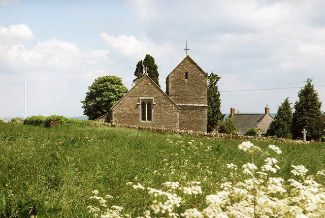
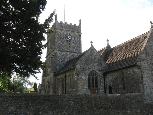
Church of St Mary Magdalene, Upton Noble

The Anglican Church Of St Mary and St John in Upton Noble, within the English county of Somerset, was built in the 12th century. It is a Grade II* listed...
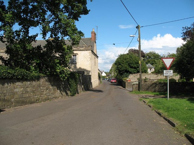
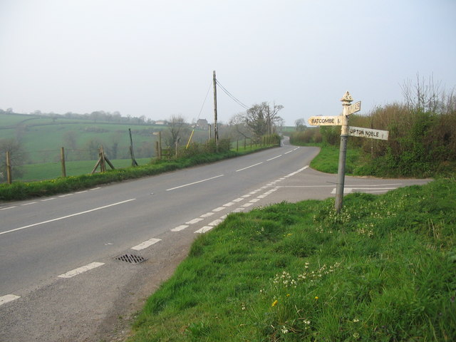
Upton Noble

Upton Noble is a village and civil parish on the River Frome. It is roughly 4.5 miles (7 km) north-east of Bruton, and 7 miles (11 km) from Frome town...

Wanstrow

Wanstrow is a village and civil parish 6 miles (9.7 km) south west of Frome in Somerset, England. The parish includes the village of Cloford. == History... ==

Wanstrow railway station

Wanstrow railway station was a small station on the East Somerset Railway serving the village of Wanstrow in Somerset. The East Somerset Railway opened...

Church of St Mary, Wanstrow

The Anglican Church Of St Mary in Wanstrow, within the English county of Somerset, was built in the 15th century. It is a Grade II* listed building.The...

Witham Charterhouse

Witham Charterhouse, also Witham Priory, at Witham Friary, Somerset, was established in 1178/79, the earliest of the ten medieval Carthusian houses (charterhouses...

Church of St Mary, Witham Friary

The Church of St Mary in Witham Friary, Somerset, England, dates from around 1200 and it has been designated as a Grade I listed building.The church was...

Witham (Somerset) railway station

This station in Somerset is closed. For the open station in East Anglia, see Witham railway station.Witham (Somerset) railway station was a station serving...

Have you been to Upton Wood?

Leave your review of Upton Wood below (or comments, questions and feedback).