High Spencycroft Plantation

Wood, Forest in Cumberland Eden

England

High Spencycroft Plantation

Station Road (A686) heading north out of Alston The road is climbing to cross Whitfield Moor passing a minor road on the left giving access to the railway station which now operates as a narrow gauge tourist attraction. The low walls at the side of the road are parapets of a bridge over the River Nent. 
The Fuchs crane at the side of the road looks rather shabby.
Station Road (A686) heading north out of Alston Credit: Trevor Littlewood

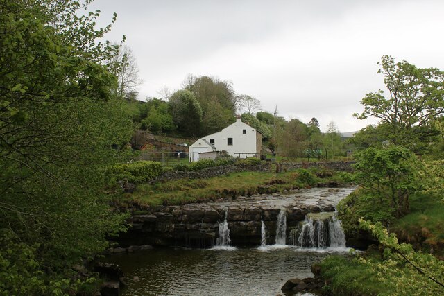
High Spencycroft Plantation is a vast wooded area located in Cumberland, a county in the northwest of England. Spanning over several hundred acres, the plantation is known for its dense forest and diverse range of plant and animal species. It is situated near the village of Spencycroft and is a popular destination for nature enthusiasts and hikers.

The plantation is characterized by its tall and majestic trees, predominantly oak, beech, and pine. These trees provide a dense canopy, creating a serene and shaded environment within. The forest floor is covered in a thick layer of moss and fallen leaves, adding to its natural beauty.

High Spencycroft Plantation is home to a wide variety of wildlife. Visitors can spot numerous bird species, including woodpeckers, owls, and various songbirds. Squirrels, rabbits, and deer are also commonly seen within the plantation, making it a haven for animal lovers and photographers.

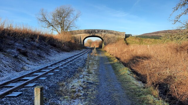
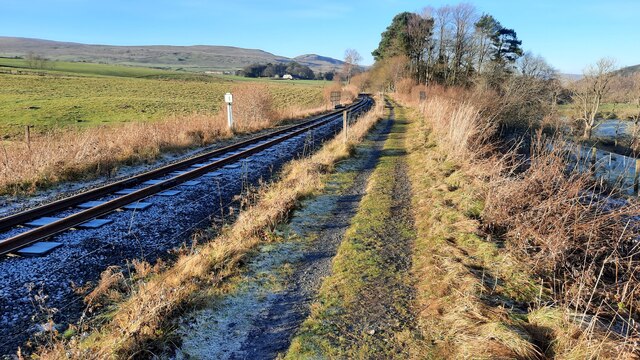
Several well-marked trails crisscross the plantation, offering visitors the opportunity to explore its natural wonders. These trails vary in difficulty, catering to both casual walkers and avid hikers. Along the way, there are several lookout points where visitors can admire panoramic views of the surrounding countryside.

The plantation is managed by the local forestry commission, ensuring its conservation and protection. The commission also organizes educational programs and events to promote awareness and appreciation of the area's natural heritage.

Overall, High Spencycroft Plantation in Cumberland is a picturesque woodland retreat that offers a tranquil escape from the hustle and bustle of daily life. Its natural beauty, diverse wildlife, and well-maintained trails make it a must-visit destination for nature lovers and outdoor enthusiasts.

If you have any feedback on the listing, please let us know in the comments section below.

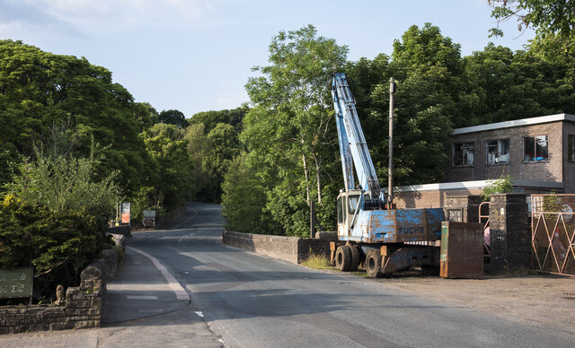
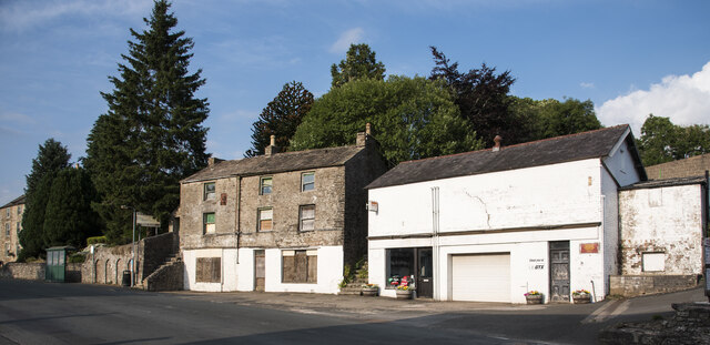
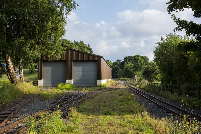
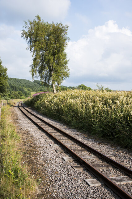
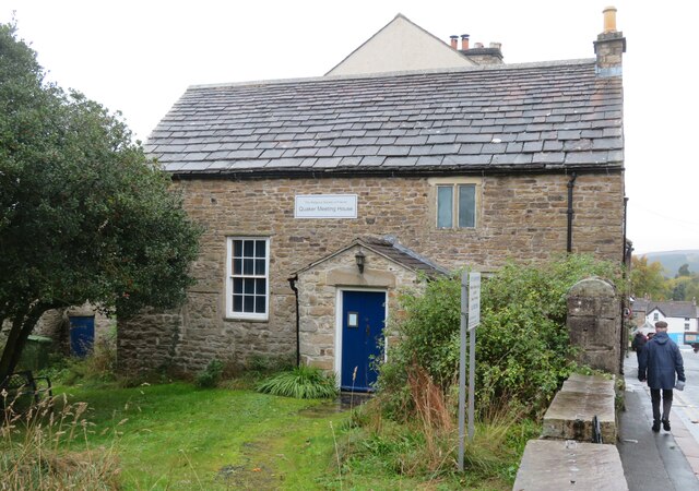
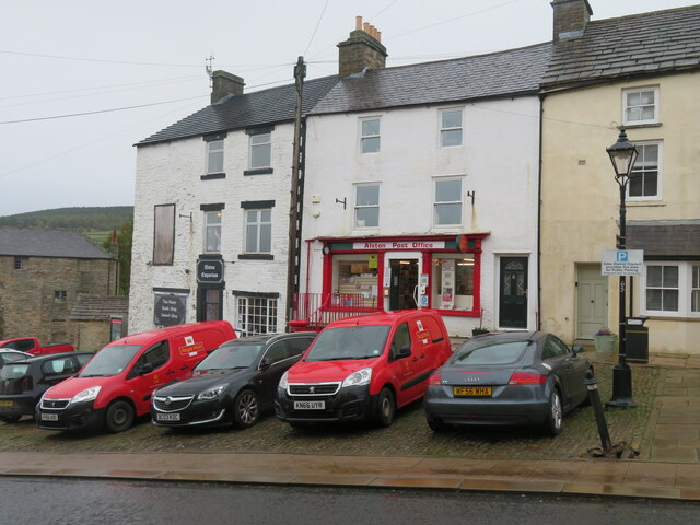
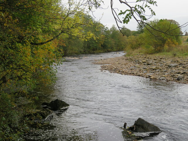
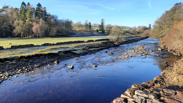
High Spencycroft Plantation Images

Images are sourced within 2km of 54.821579/-2.4335619 or Grid Reference NY7247. Thanks to Geograph Open Source API. All images are credited.

Station Road (A686) heading north out of Alston The road is climbing to cross Whitfield Moor passing a minor road on the left giving access to the railway station which now operates as a narrow gauge tourist attraction. The low walls at the side of the road are parapets of a bridge over the River Nent. 
The Fuchs crane at the side of the road looks rather shabby.
Station Road (A686) heading north out of Alston
The road is climbing to cross Whitfield Moor passing a minor road on the left giving access to the railway station which now operates as a narrow gauge tourist attraction. The low walls at the side of the road are parapets of a bridge over the River Nent. The Fuchs crane at the side of the road looks rather shabby.
Buildings on east side of A686 The buildings are on the east side of the A686 in Alston. The right part of the stone building was for many years the Central Cafe and is well-remembered as the refreshment stop for the Wrights Brothers bus and coach service which ran (and hopefully will run again), between Newcastle and Keswick. It has been in a deteriorating state since its closure some decades ago. The white painted building is part of Henderson's Garage.
Buildings on east side of A686
The buildings are on the east side of the A686 in Alston. The right part of the stone building was for many years the Central Cafe and is well-remembered as the refreshment stop for the Wrights Brothers bus and coach service which ran (and hopefully will run again), between Newcastle and Keswick. It has been in a deteriorating state since its closure some decades ago. The white painted building is part of Henderson's Garage.
Building of the South Tynedale Railway The building is adjacent to the line of the narrow gauge railway and has lines running into it so it's clearly used as a workshop or a storage facility for rolling stock. The South Tyne Trail which runs alongside the railway crosses from the east side to the west side of the line at the camera location.
Building of the South Tynedale Railway
The building is adjacent to the line of the narrow gauge railway and has lines running into it so it's clearly used as a workshop or a storage facility for rolling stock. The South Tyne Trail which runs alongside the railway crosses from the east side to the west side of the line at the camera location.
Gentle curve along South Tynedale Railway The narrow gauge railway en route for Alston which lies around 1.5 km. ahead.
Gentle curve along South Tynedale Railway
The narrow gauge railway en route for Alston which lies around 1.5 km. ahead.
Carriage sidings, Alston The carriage sidings at the South Tynedale Railway close to the station of the narrow gauge railway.
Carriage sidings, Alston
The carriage sidings at the South Tynedale Railway close to the station of the narrow gauge railway.
Green Dragon at Alston Station The Green Dragon being prepared for the 1300 hrs service from Alston Station to Slaggyford on the South Tynedale Railway.

This photograph was taken during the Coronavirus (COVID-19) pandemic of 2020/21.
Green Dragon at Alston Station
The Green Dragon being prepared for the 1300 hrs service from Alston Station to Slaggyford on the South Tynedale Railway. This photograph was taken during the Coronavirus (COVID-19) pandemic of 2020/21.
Through an arch of the Tyne Bridge Looking upstream along the South Tyne from below the bridge that carries the A686.
Through an arch of the Tyne Bridge
Looking upstream along the South Tyne from below the bridge that carries the A686.
Alston Fire Station Housed in the former Grammar School which has a date of 1828 above the small red door.
Alston Fire Station
Housed in the former Grammar School which has a date of 1828 above the small red door.
Friends Meeting House, Alston Quakerism in Alston can be traced back as far as 1668. This meeting house dates from 1732 with alterations in 1762-4.
Friends Meeting House, Alston
Quakerism in Alston can be traced back as far as 1668. This meeting house dates from 1732 with alterations in 1762-4.
Alston Post Office Situated in the centre of this tiny hill town, which at the time this photograph was taken had road works right in the middle of the main street. No traffic could get through and there were lengthy detours.
Alston Post Office
Situated in the centre of this tiny hill town, which at the time this photograph was taken had road works right in the middle of the main street. No traffic could get through and there were lengthy detours.
South Tyne River The South Tyne, a mile upstream from Alston.
South Tyne River
The South Tyne, a mile upstream from Alston.
River South Tyne at the northern edge of Alston This is the view of the river seen by walkers leaving Alston to the north on the South Tyne Trail.
River South Tyne at the northern edge of Alston
This is the view of the river seen by walkers leaving Alston to the north on the South Tyne Trail.
The River Tyne Trail adjacent to South Tynedale Railway The South Tynedale Railway runs for 5 miles in this magnificent valley and is run by the South Tynedale Railway Preservation Society. The valley also has other famous walking trails, The Pennine Way, A Pennine Journey and Isaac's Tea Trail.
The River Tyne Trail adjacent to South Tynedale Railway
The South Tynedale Railway runs for 5 miles in this magnificent valley and is run by the South Tynedale Railway Preservation Society. The valley also has other famous walking trails, The Pennine Way, A Pennine Journey and Isaac's Tea Trail.
The River Tyne Trail adjacent to South Tynedale Railway
Front Street, Alston The main street of Alston, which runs down steeply through the small town towards the South Tyne River.
Front Street, Alston
The main street of Alston, which runs down steeply through the small town towards the South Tyne River.
Climbing up Front Street in Alston The main street of this small market town rises steeply away from the South Tyne - seen here passing a row of dwellings and the local post office.
Climbing up Front Street in Alston
The main street of this small market town rises steeply away from the South Tyne - seen here passing a row of dwellings and the local post office.
Small Waterfall on the River Nent The River Nent is a major tributary of the South Tyne, seen here at Gossipgate near Alston
Small Waterfall on the River Nent
The River Nent is a major tributary of the South Tyne, seen here at Gossipgate near Alston
Access Lane beside the River Nent The river between Alston and Gossipgate, adopted by a long distance footpath that runs under the name of Isaac's Tea Trail
Access Lane beside the River Nent
The river between Alston and Gossipgate, adopted by a long distance footpath that runs under the name of Isaac's Tea Trail
Show me another place!

High Spencycroft Plantation is located at Grid Ref: NY7247 (Lat: 54.821579, Lng: -2.4335619)

Administrative County: Cumbria

District: Eden

Police Authority: Cumbria

What 3 Words

///assembles.defectors.voucher. Near Alston, Cumbria

Related Wikis

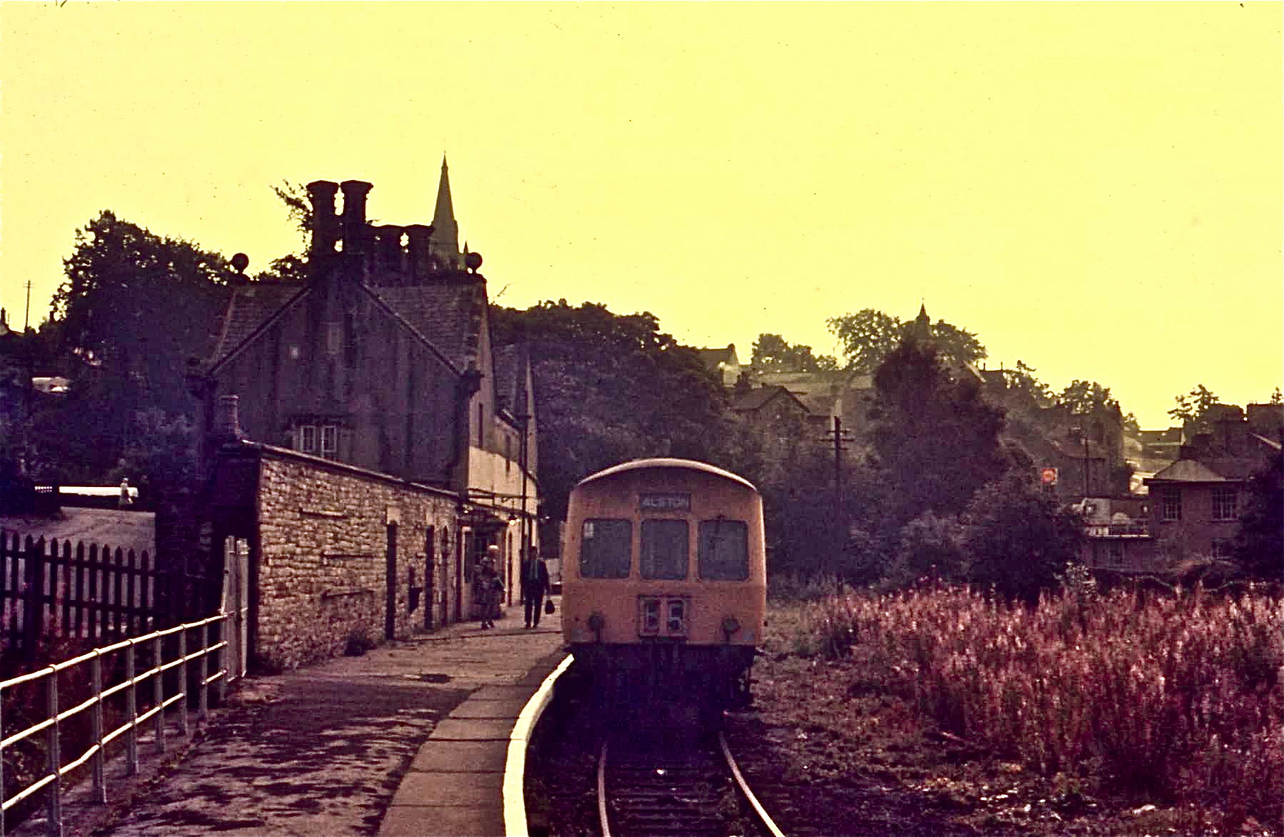
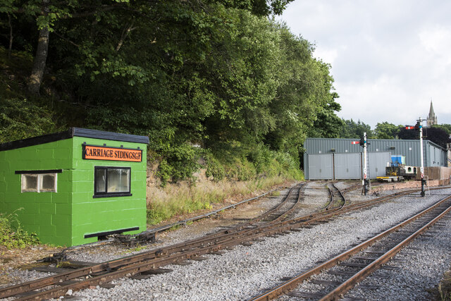
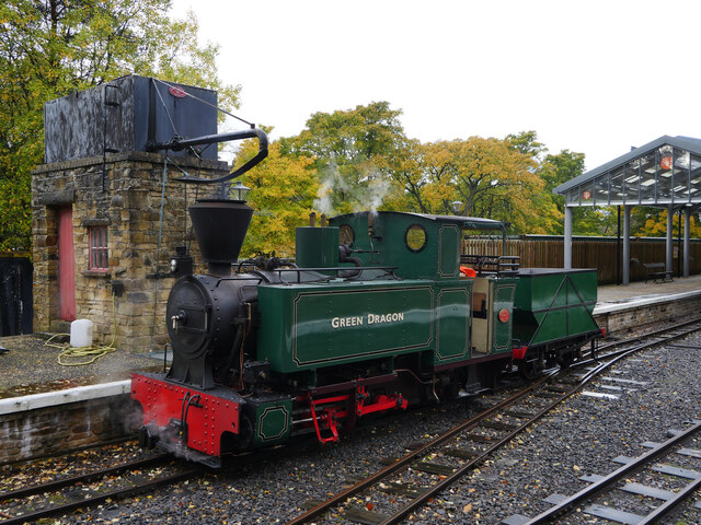
Alston railway station

Alston is a heritage railway station on the South Tynedale Railway. The station, situated 13 miles (21 km) south of Haltwhistle, is in the market town...
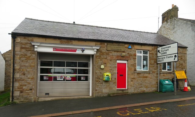
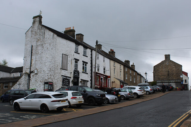
Alston Town Hall

Alston Town Hall is a municipal building in Front Street, Alston, Cumbria, England. The town hall, which is currently used as a public library, is a Grade...
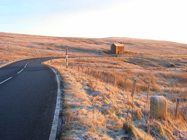
Alston Moor

Alston Moor, formerly known as Alston with Garrigill, is a civil parish and electoral ward in the Westmorland and Furness district, in the ceremonial county...

Samuel King's School

Samuel King's School is a mixed secondary school located in Alston in the English county of Cumbria. As of 2017 it had 73 students on roll. It is a comprehensive...
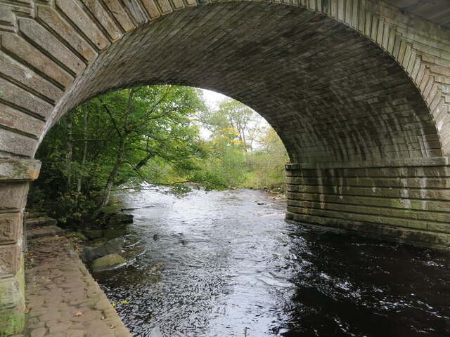
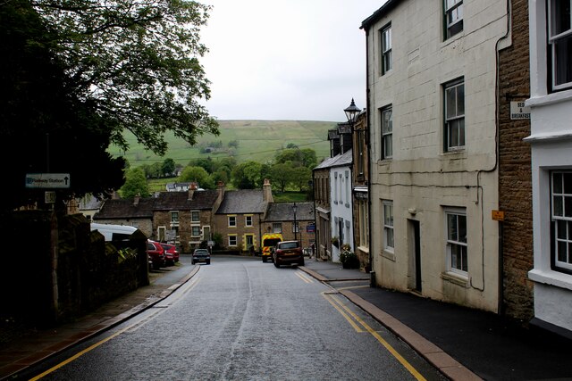
Alston, Cumbria

Alston is a town in Westmorland and Furness, Cumbria, England, within the civil parish of Alston Moor on the River South Tyne. It shares the title of the...

Gilderdale Halt railway station

Gilderdale Halt railway station, also known as Gilderdale railway station, served the town of Alston, Cumbria, England, from 1986 to 1999 on the South...

Ayle

Ayle is a village in Northumberland, England, situated to the north of Alston. There are six residences in the hamlet. == Governance == Ayle is in the...

A686 road

The A686 is a road in Northern England. It runs from Penrith in Cumbria to Haydon Bridge in Northumberland. AA Magazine named the A686 as one of their...

Nearby Amenities

Located within 500m of 54.821579,-2.4335619
Coat Hill Farm
Place: farm
Lat/Long: 54.8229833/-2.4397684
Power: pole
Lat/Long: 54.8209254/-2.4405144
Power: pole
Lat/Long: 54.8214528/-2.4391288
Power: pole
Lat/Long: 54.8219018/-2.4379857
Power: pole
Lat/Long: 54.8233031/-2.4389123
Power: pole
Lat/Long: 54.8211948/-2.4373176
Power: pole
Lat/Long: 54.8209681/-2.4357613
Power: pole
Lat/Long: 54.8207315/-2.4340689
Power: pole
Lat/Long: 54.8205333/-2.4327179
Power: pole
Lat/Long: 54.8203979/-2.4318073
Power: pole
Lat/Long: 54.8202668/-2.430924
Power: pole
Lat/Long: 54.8197258/-2.4296114
Power: pole
Lat/Long: 54.8191627/-2.4282431
Power: pole
Lat/Long: 54.8199189/-2.434925
Power: pole
Lat/Long: 54.8191177/-2.4357638
Power: pole
Lat/Long: 54.8183294/-2.4365926
Power: pole
Lat/Long: 54.8176451/-2.4373028
Power: pole
Lat/Long: 54.8183508/-2.4282728
Power: pole
Lat/Long: 54.8206859/-2.4310737
The data included in this document is from www.openstreetmap.org. The data is made available under ODbL.

Have you been to High Spencycroft Plantation?

Leave your review of High Spencycroft Plantation below (or comments, questions and feedback).