Park Wood
Wood, Forest in Dorset
England
Park Wood
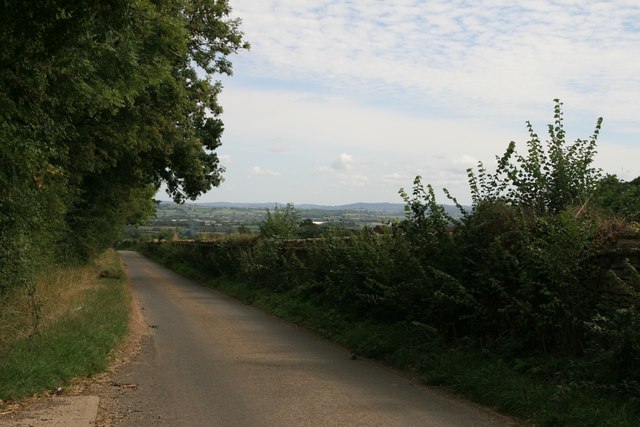
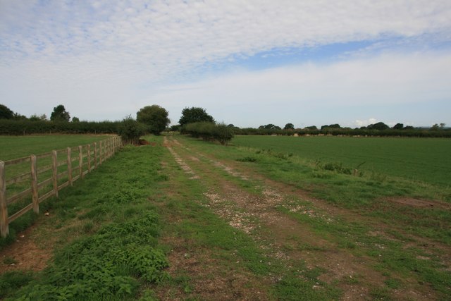
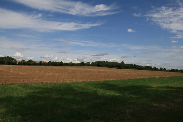
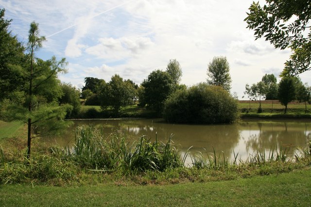
Park Wood is a picturesque forest located in the county of Dorset, England. Spanning over a vast area, the wood is renowned for its natural beauty and diverse ecosystem. It is situated in close proximity to the charming town of Dorchester, adding to its appeal for both locals and tourists.
The wood is predominantly made up of deciduous trees, such as oak, beech, and ash, which create a canopy that provides shade during the summer months and a vibrant display of colors in the autumn. The forest floor is adorned with a variety of wildflowers, including bluebells and primroses, adding to the enchantment of the wood.
Park Wood is known for its rich biodiversity, with numerous species of birds, mammals, and insects calling it their home. Birdwatchers are often rewarded with sightings of woodpeckers, nightingales, and various species of owls. The wood is also a haven for deer, foxes, and badgers, providing visitors with the opportunity to observe these magnificent creatures in their natural habitat.
The wood offers a range of recreational activities for visitors to enjoy. There are several well-maintained walking trails that wind through the forest, allowing nature enthusiasts to explore its hidden gems. Additionally, the wood provides a peaceful setting for picnics and relaxation, with several designated areas equipped with benches and tables.
Park Wood is a true gem of Dorset, offering a tranquil escape from the hustle and bustle of daily life. Its natural beauty and abundant wildlife make it a must-visit destination for those seeking a connection with nature.
If you have any feedback on the listing, please let us know in the comments section below.
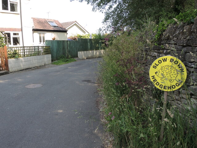
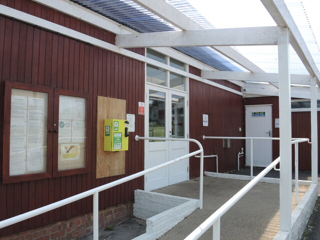
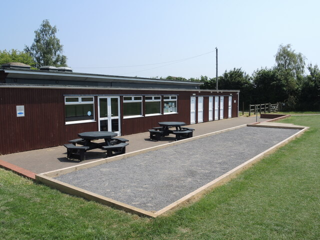
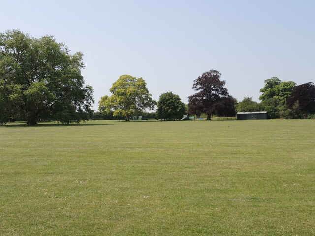
Park Wood Images
Images are sourced within 2km of 50.961182/-2.3966451 or Grid Reference ST7218. Thanks to Geograph Open Source API. All images are credited.
Park Wood is located at Grid Ref: ST7218 (Lat: 50.961182, Lng: -2.3966451)
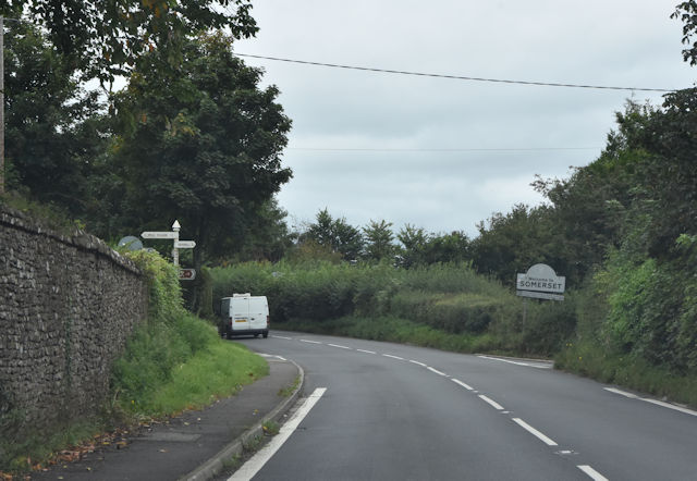
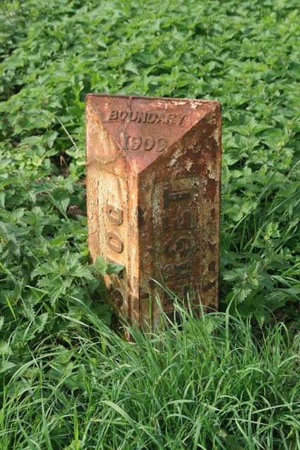
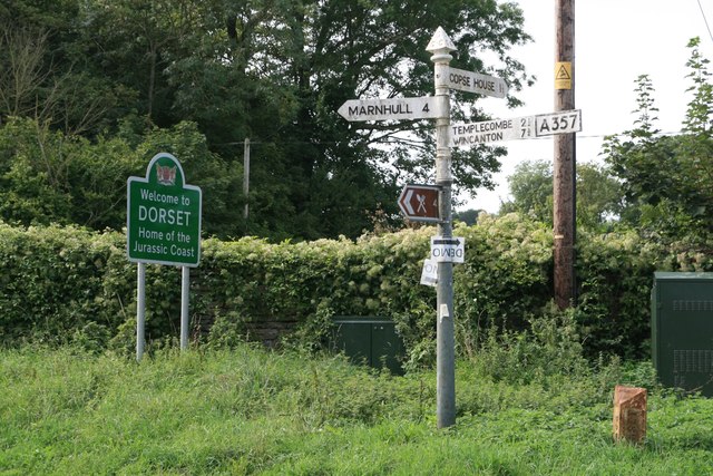
Unitary Authority: Dorset
Police Authority: Dorset
What 3 Words
///reduce.fabricate.fewer. Near Stalbridge, Dorset
Nearby Locations
Related Wikis

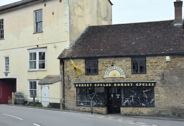
Stalbridge
Stalbridge () is a town and civil parish in Dorset, England, situated in the Blackmore Vale, near the border with Somerset. In the 2011 census the civil...

Brownshall Hundred
Brownshall Hundred was a hundred in the county of Dorset, England, containing the following parishes: Holwell (transferred from Somerset 1844) Lydlinch...
Henstridge
Henstridge is a village and civil parish in Somerset, England, situated 5 miles (8.0 km) east of Sherborne in the South Somerset district, near the border...
Stalbridge railway station
Stalbridge railway station was a station in Stalbridge in the county of Dorset, England. It was located on the Somerset and Dorset Joint Railway. Sited...
Church of St Nicholas, Henstridge
The Church of St Nicholas in Henstridge, Somerset, England was built in the 12th century. It is a Grade II* listed building. == History == The church was...

Henstridge railway station
Henstridge railway station was a station at Henstridge in the county of Somerset, in England. It was located on the Somerset and Dorset Joint Railway....

Yenston
Yenston is a small hamlet in Somerset within the Parish of Henstridge. Located on the A357, the hamlet is located between Templecombe and Henstridge....

Purse Caundle
Purse Caundle is a village and civil parish in the county of Dorset in southwest England. It lies within the Dorset Council administrative area, about...
Nearby Amenities
Located within 500m of 50.961182,-2.3966451Have you been to Park Wood?
Leave your review of Park Wood below (or comments, questions and feedback).