Gleaveshole Wood

Wood, Forest in Cheshire

England

Gleaveshole Wood

The Windmill Inn at Tabley Located on the A556 near junction 19 of the M6. Named after the horse Windmill, which came from the stable of the master of nearby Tabley Hall and was winner of the Chester Gold Cup.
The Windmill Inn at Tabley Credit: Ian Warburton

Gleaveshole Wood is a picturesque forest located in the county of Cheshire, England. Spanning an area of approximately 100 acres, the wood is a haven of natural beauty and tranquility. It is situated on the outskirts of the village of Gleaveshole, nestled amidst rolling hills and verdant countryside.

The wood is predominantly composed of native broadleaf trees, such as oak, beech, and birch, which create a dense canopy overhead. These majestic trees not only provide shelter and food for a diverse range of wildlife but also offer a stunning display of colors during the autumn months.

Walking through Gleaveshole Wood, visitors are greeted by a network of well-maintained trails that wind their way through the forest. These paths provide an opportunity to explore the wood's various habitats, including ancient woodland, wetland areas, and wildflower meadows. Nature enthusiasts will appreciate the abundance of flora and fauna that call this wood home, from bluebells and primroses to woodpeckers and deer.

For those seeking solitude or a peaceful retreat, Gleaveshole Wood offers several secluded spots, where one can find solace and connect with nature. Picnic areas are strategically placed, allowing visitors to unwind and enjoy the serene surroundings while savoring a packed lunch.

The wood is also a popular destination for families and avid photographers, who are drawn to its picturesque landscape and opportunities for capturing stunning images of woodland scenes and wildlife.

Overall, Gleaveshole Wood is a hidden gem in Cheshire, offering visitors a chance to escape the hustle and bustle of everyday life and immerse themselves in the beauty of nature.

If you have any feedback on the listing, please let us know in the comments section below.

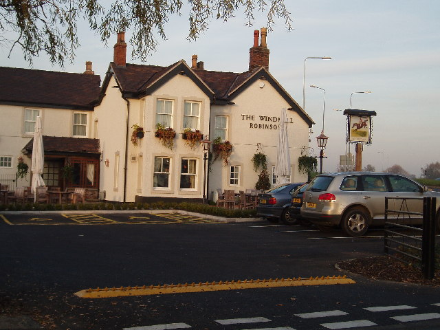
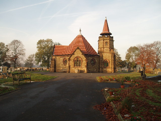
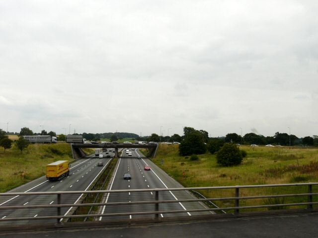
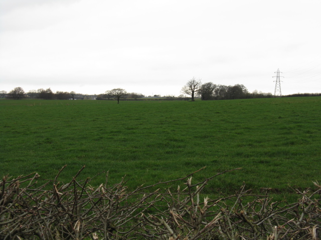
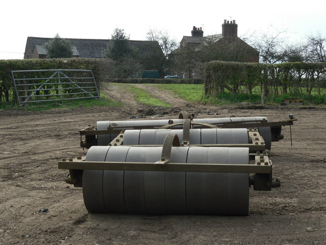
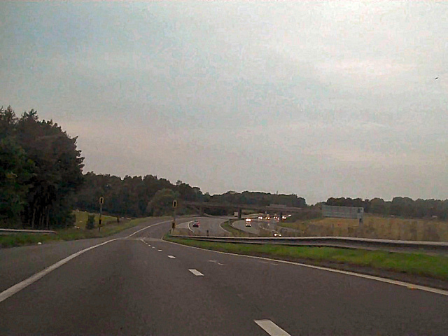
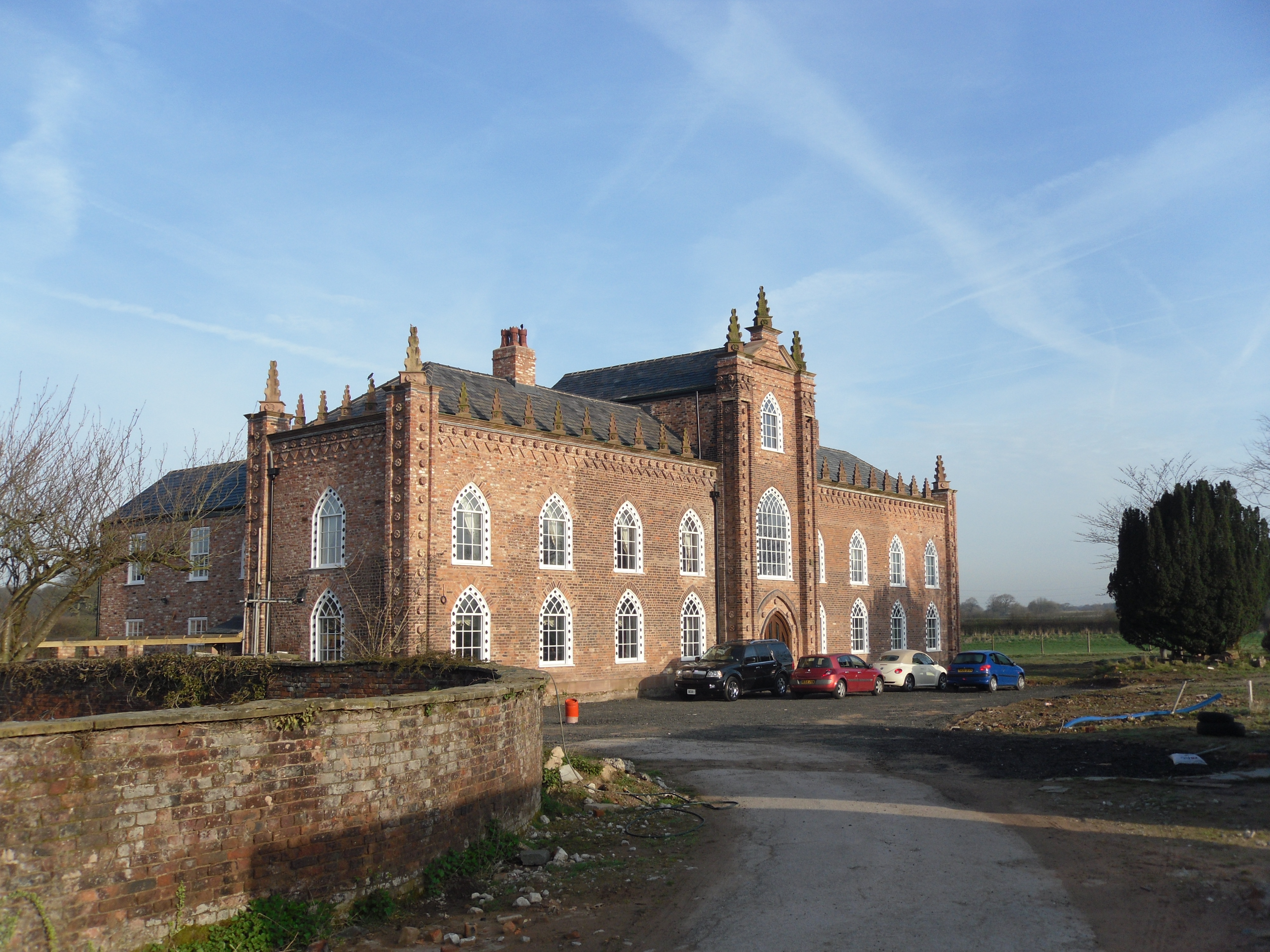
Gleaveshole Wood Images

Images are sourced within 2km of 53.324323/-2.4182123 or Grid Reference SJ7280. Thanks to Geograph Open Source API. All images are credited.

The Windmill Inn at Tabley Located on the A556 near junction 19 of the M6. Named after the horse Windmill, which came from the stable of the master of nearby Tabley Hall and was winner of the Chester Gold Cup.
The Windmill Inn at Tabley
Located on the A556 near junction 19 of the M6. Named after the horse Windmill, which came from the stable of the master of nearby Tabley Hall and was winner of the Chester Gold Cup.
Knutsford Cemetery Tabley Hill Knutsford Cemetery on Tabley Hill Lane was built in 1902
Knutsford Cemetery Tabley Hill
Knutsford Cemetery on Tabley Hill Lane was built in 1902
M6 Junction 19 The M6 viewed from the A556 bridge.
M6 Junction 19
The M6 viewed from the A556 bridge.
Over Tabley petrol station At the Little Chef and Travelodge, just north of the M6 junction on the A556.  Not accessible from the southbound lane, nor with any easy access to the A556 southbound.
Over Tabley petrol station
At the Little Chef and Travelodge, just north of the M6 junction on the A556. Not accessible from the southbound lane, nor with any easy access to the A556 southbound.
Main road to Manchester Manchester's main access from the south is the A556, shown here just after the M6 junction (19). Many plans have been prepared to by-pass the road with a motorway, filling in a major gap, or to create a continuous dual carriageway.  All have foundered on Nimby-ism or government budget cuts, leaving an ordinary four-lane road with houses with direct access onto it.  A truly awful and highly dangerous road.
Main road to Manchester
Manchester's main access from the south is the A556, shown here just after the M6 junction (19). Many plans have been prepared to by-pass the road with a motorway, filling in a major gap, or to create a continuous dual carriageway. All have foundered on Nimby-ism or government budget cuts, leaving an ordinary four-lane road with houses with direct access onto it. A truly awful and highly dangerous road.
Countryside at Tabley Hill
Milepost at Over Tabley A relic found adjacent to the Lay-by just beyond the Little Chef on the A556's northbound carriageway.
Milepost at Over Tabley
A relic found adjacent to the Lay-by just beyond the Little Chef on the A556's northbound carriageway.
A556 Chester Road Looking in Manchester direction, north of M6 Junction 19.
A556 Chester Road
Looking in Manchester direction, north of M6 Junction 19.
Tabley Parish Hall, Old Hall Lane
Over Tabley Hall This old Manor House has now been turned into Flats
Over Tabley Hall
This old Manor House has now been turned into Flats
Over Tabley Hall and the M6 from Old Hall Lane
Pownallgreen Farm
Pownallgreen Farm
Pownallgreen Farm
Pownallgreen Farm
Looking Southwest to Holehouses
Chester Road (A556) Chester Road, approaching Junction 19 of the M6.
Chester Road (A556)
Chester Road, approaching Junction 19 of the M6.
M6 Junction 19 The entry slip road from the A556 (Chester Road) to the northbound M6 at Junction 19.
M6 Junction 19
The entry slip road from the A556 (Chester Road) to the northbound M6 at Junction 19.
M6 Northbound at J19 Entry slip road merging with the northbound M6 at Junction 19.
M6 Northbound at J19
Entry slip road merging with the northbound M6 at Junction 19.
M6, Old Hall Lane Bridge
Show me another place!

Gleaveshole Wood is located at Grid Ref: SJ7280 (Lat: 53.324323, Lng: -2.4182123)

Unitary Authority: Cheshire East

Police Authority: Cheshire

What 3 Words

///early.flaunting.bricks. Near Mere, Cheshire

Related Wikis

Mere Old Hall

Mere Old Hall is a 17th-century country house which stands to the west of the village of Mere and the junction of the A566 and A50 roads in Cheshire, England...

St Paul's Church, Over Tabley

St Paul's Church, is in Tabley Superior, Cheshire, England. It stands beside the B5569 which was formerly the A556 road between the M6 and the M56 but...

Tabley Superior

Tabley Superior is a civil parish in the Borough of Cheshire East and ceremonial county of Cheshire in England. In 2001, it had a population of 316. The...

Over Tabley Hall

Over Tabley Hall is a country house in the parish of Tabley Superior in Cheshire, England. It stands in an isolated position to the northwest of junction...

Nearby Amenities

Located within 500m of 53.324323,-2.4182123
Power: tower
Lat/Long: 53.320505/-2.4162007
Power: tower
Lat/Long: 53.3249555/-2.4239831
Power: tower
Lat/Long: 53.3235812/-2.4215875
Power: tower
Lat/Long: 53.3220492/-2.4188941
Crossing
Crossing: unmarked
Crossing Island: no
Kerb: flush
Tactile Paving: no
Lat/Long: 53.325959/-2.4124326
The data included in this document is from www.openstreetmap.org. The data is made available under ODbL.

Have you been to Gleaveshole Wood?

Leave your review of Gleaveshole Wood below (or comments, questions and feedback).