Tabley, Over

Settlement in Cheshire

England

Tabley, Over

Knutsford Motorway Services On the S bound M6. All the usual facilities: fuel; food; shop; toilets; etc.
Knutsford Motorway Services Credit: Pete Chapman

Tabley is a small village located in the county of Cheshire, England. It is situated approximately 5 miles southwest of Knutsford and 20 miles east of Chester. The village falls within the civil parish of Over Tabley and is surrounded by picturesque countryside, offering a tranquil and rural setting.

Tabley is well-known for its historic connections and architectural gems. One of the main attractions in the village is Tabley House, a Grade I listed country house. Built in the 18th century, it boasts stunning neoclassical architecture and is set within beautiful landscaped gardens. The house is home to an impressive art collection, including paintings by renowned artists such as Turner and Reynolds.

The village also features a charming church, St. Peter's Church, which dates back to the 15th century. It showcases a mix of architectural styles, including Norman and Gothic elements, and is a site of historical significance.

In addition to its architectural treasures, Tabley is surrounded by lush farmland and offers a range of outdoor activities. The area is crisscrossed by footpaths and bridleways, making it popular among walkers, cyclists, and horse riders. The village also benefits from its proximity to the Tatton Park estate, a vast parkland and stately home that offers further opportunities for outdoor pursuits.

While Tabley is a small village, it benefits from its close proximity to larger towns such as Knutsford and Northwich, which provide amenities, shops, and services. The village has a strong sense of community and offers a peaceful and idyllic setting for residents and visitors alike.

If you have any feedback on the listing, please let us know in the comments section below.
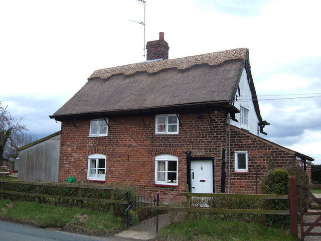
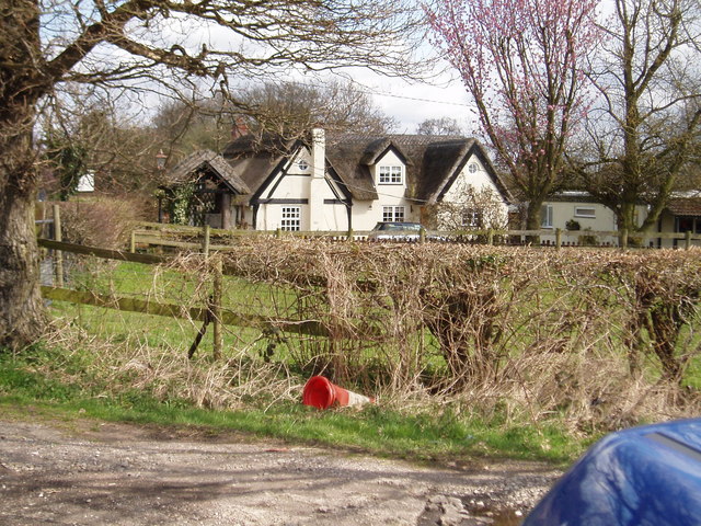
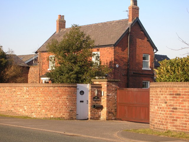
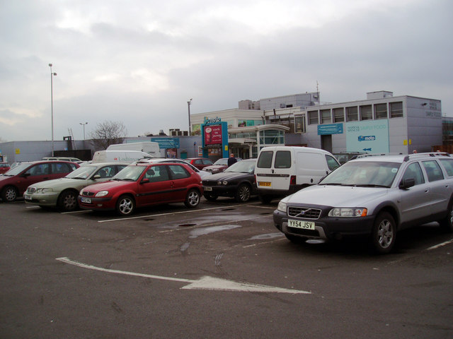
Tabley, Over Images

Images are sourced within 2km of 53.317006/-2.415019 or Grid Reference SJ7280. Thanks to Geograph Open Source API. All images are credited.

Knutsford Motorway Services On the S bound M6. All the usual facilities: fuel; food; shop; toilets; etc.
Knutsford Motorway Services
On the S bound M6. All the usual facilities: fuel; food; shop; toilets; etc.
The Windmill Inn at Tabley Located on the A556 near junction 19 of the M6. Named after the horse Windmill, which came from the stable of the master of nearby Tabley Hall and was winner of the Chester Gold Cup.
The Windmill Inn at Tabley
Located on the A556 near junction 19 of the M6. Named after the horse Windmill, which came from the stable of the master of nearby Tabley Hall and was winner of the Chester Gold Cup.
Knutsford Cemetery Tabley Hill Knutsford Cemetery on Tabley Hill Lane was built in 1902
Knutsford Cemetery Tabley Hill
Knutsford Cemetery on Tabley Hill Lane was built in 1902
Mock Tudor semi, Tabley, Cheshire Not the best location for a family home being at the side of the busy A556 about a mile south of junction 19 on the M6.
Mock Tudor semi, Tabley, Cheshire
Not the best location for a family home being at the side of the busy A556 about a mile south of junction 19 on the M6.
Brook Cottage, Tabley On the B5391, Pickmere Lane. This is the only building wholly within this grid square - and it's just in.
Brook Cottage, Tabley
On the B5391, Pickmere Lane. This is the only building wholly within this grid square - and it's just in.
Cottage at Tabley Brook Kennels Situated on Budworth Road, Tabley, the kennels and cattery are to the right.
Cottage at Tabley Brook Kennels
Situated on Budworth Road, Tabley, the kennels and cattery are to the right.
Bluebell Farm Next to the busy A50 near Knutsford
Bluebell Farm
Next to the busy A50 near Knutsford
Knutsford service station, M6 motorway Not high on the list of Cheshire's best-loved beauty spots.
Knutsford service station, M6 motorway
Not high on the list of Cheshire's best-loved beauty spots.
M6 Junction 19 The M6 viewed from the A556 bridge.
M6 Junction 19
The M6 viewed from the A556 bridge.
Moto, Knutsford Stopping briefly for refreshments.
Moto, Knutsford
Stopping briefly for refreshments.
Over Tabley petrol station At the Little Chef and Travelodge, just north of the M6 junction on the A556.  Not accessible from the southbound lane, nor with any easy access to the A556 southbound.
Over Tabley petrol station
At the Little Chef and Travelodge, just north of the M6 junction on the A556. Not accessible from the southbound lane, nor with any easy access to the A556 southbound.
Main road to Manchester Manchester's main access from the south is the A556, shown here just after the M6 junction (19). Many plans have been prepared to by-pass the road with a motorway, filling in a major gap, or to create a continuous dual carriageway.  All have foundered on Nimby-ism or government budget cuts, leaving an ordinary four-lane road with houses with direct access onto it.  A truly awful and highly dangerous road.
Main road to Manchester
Manchester's main access from the south is the A556, shown here just after the M6 junction (19). Many plans have been prepared to by-pass the road with a motorway, filling in a major gap, or to create a continuous dual carriageway. All have foundered on Nimby-ism or government budget cuts, leaving an ordinary four-lane road with houses with direct access onto it. A truly awful and highly dangerous road.
Travelodge At Knutsford Services - M6 Northbound
Houses at the Corner Perched by the M6, one of the old houses is, appropriately, the lair of a car recovery operator.
Houses at the Corner
Perched by the M6, one of the old houses is, appropriately, the lair of a car recovery operator.
Up and Over The lane to Tabley Hill rises to bridge the M6 motorway.
Up and Over
The lane to Tabley Hill rises to bridge the M6 motorway.
Pylons at Tabley Hill
Countryside at Tabley Hill
Milepost at Over Tabley A relic found adjacent to the Lay-by just beyond the Little Chef on the A556's northbound carriageway.
Milepost at Over Tabley
A relic found adjacent to the Lay-by just beyond the Little Chef on the A556's northbound carriageway.
Show me another place!

Tabley, Over is located at Grid Ref: SJ7280 (Lat: 53.317006, Lng: -2.415019)

Unitary Authority: Cheshire East

Police Authority: Cheshire

What 3 Words

///novelist.intervene.duos. Near Mere, Cheshire

Related Wikis

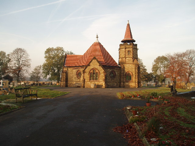
St Paul's Church, Over Tabley

St Paul's Church, is in Tabley Superior, Cheshire, England. It stands beside the B5569 which was formerly the A556 road between the M6 and the M56 but...

Tabley Superior

Tabley Superior is a civil parish in the Borough of Cheshire East and ceremonial county of Cheshire in England. In 2001, it had a population of 316. The...
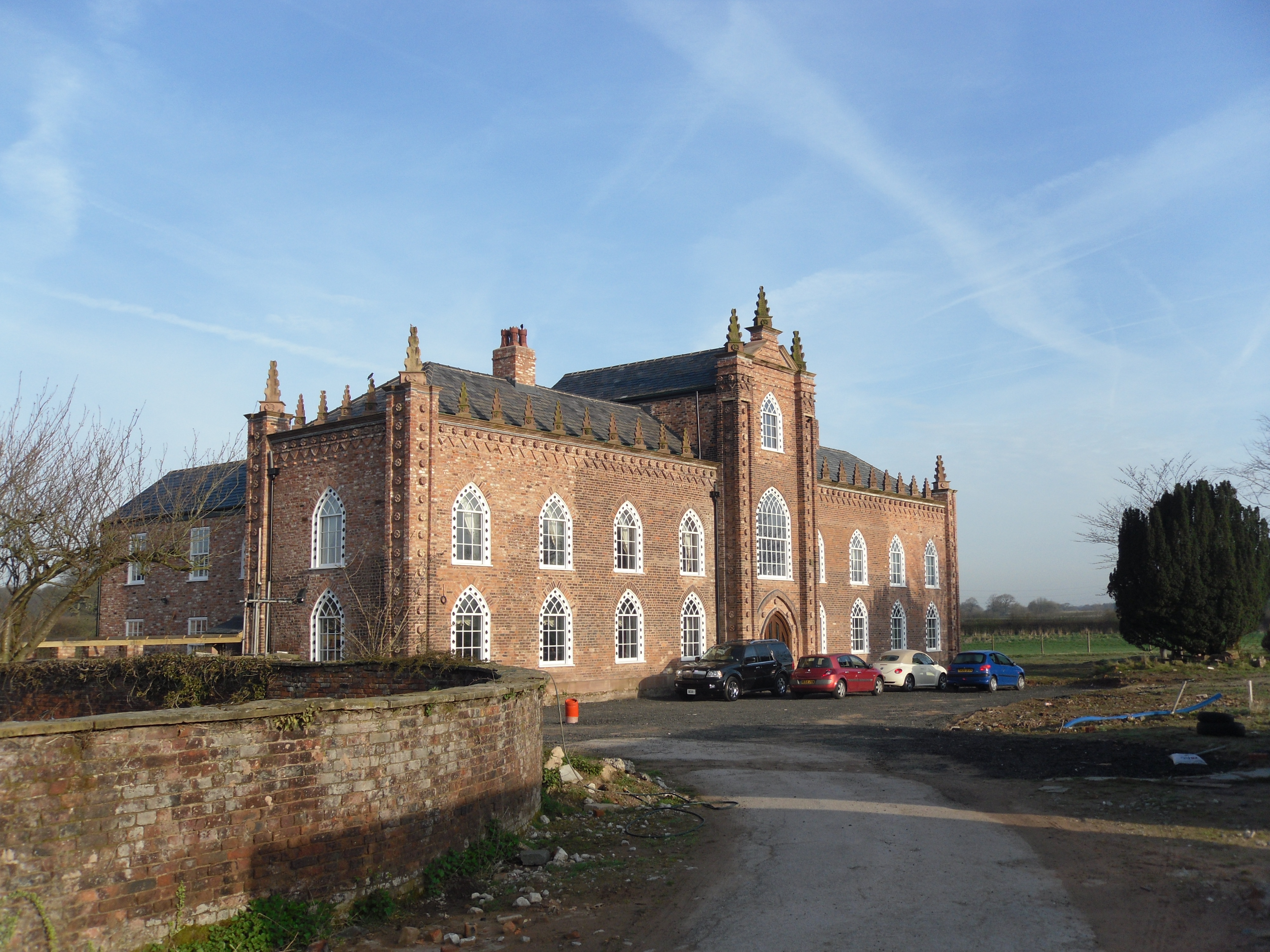
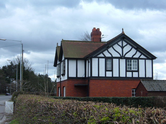
Over Tabley Hall

Over Tabley Hall is a country house in the parish of Tabley Superior in Cheshire, England. It stands in an isolated position to the northwest of junction...

Mere Old Hall

Mere Old Hall is a 17th-century country house which stands to the west of the village of Mere and the junction of the A566 and A50 roads in Cheshire, England...

Mere New Hall

Mere New Hall stood to the east of the village of Mere and the junction of the A566 and A50 roads in Cheshire, England. It was largely destroyed by fire...
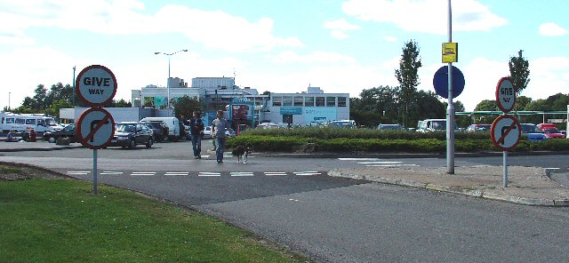
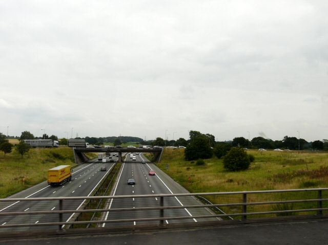
Knutsford Services

Knutsford services is a motorway service station on the M6 in Cheshire, England. == History == Opened in 1963, Knutsford was one of the country's first...

Tatton (UK Parliament constituency)

Tatton is a constituency in Cheshire represented in the House of Commons of the UK Parliament since 2017 by Esther McVey, a Conservative. == Constituency... ==

Egerton F.C.

Egerton Football Club is a football club based in Knutsford, Cheshire, England. They are currently members of the Cheshire League Premier Division and...

Nearby Amenities

Located within 500m of 53.317006,-2.415019
Bus Stop
Over Tabley, Chester Road / St Paul's Church
Bus: yes
Naptan AtcoCode: 0600MA0226
Naptan Bearing: S
Naptan CommonName: St Paul's Church
Naptan Crossing: Moss Lane
Naptan Indicator: opp
Naptan Landmark: St Paul's Church
Naptan LocalityName: Over Tabley
Naptan NaptanCode: chemjwm
Naptan ShortCommonName: St Paul's Church
Naptan Street: Chester Road
Naptan Verified: no
Network: Cheshire East Council
Operator: Ansa Transport
Public Transport: platform
Source: naptan_import
Lat/Long: 53.3157623/-2.4163937
Power: tower
Lat/Long: 53.320505/-2.4162007
Power: tower
Lat/Long: 53.3187789/-2.4132569
Power: tower
Lat/Long: 53.3168101/-2.4098326
Motorway Junction
Tabley Junction
Lat/Long: 53.3167634/-2.4200389
Power: pole
Lat/Long: 53.3171626/-2.4163753
Over Tabley
Place: village
Lat/Long: 53.3165059/-2.4154494
Barrier: stile
Material: wood
Step Count: 2
Stile: stepover
Lat/Long: 53.3179467/-2.4101215
Noexit: yes
Lat/Long: 53.3137055/-2.4182478
Barrier: bollard
Motor Vehicle: no
Lat/Long: 53.313678/-2.417578
Crossing
Crossing: unmarked
Lat/Long: 53.314603/-2.4171888
Crossing
Crossing: unmarked
Crossing Island: no
Tactile Paving: no
Lat/Long: 53.313611/-2.417606
Crossing
Crossing: unmarked
Crossing Island: no
Kerb: lowered
Tactile Paving: yes
Lat/Long: 53.3199305/-2.4158321
Barrier: cycle_barrier
Bicycle: designated
Foot: designated
Horse: designated
Motor Vehicle: no
Lat/Long: 53.3132857/-2.418891
Milestone
Direction: both
Lat/Long: 53.3156955/-2.416835
Crossing
Crossing: unmarked
Lat/Long: 53.3189975/-2.4154952
Barrier: stile
Bicycle: no
Foot: yes
Horse: no
Material: wood
Motor Vehicle: no
Step Count: 2
Stile: stepover
Lat/Long: 53.3180975/-2.4090669
Addr Housename: Beechcroft
Addr Street: Moss Lane
Lat/Long: 53.3161769/-2.4143932
The data included in this document is from www.openstreetmap.org. The data is made available under ODbL.

Have you been to Tabley, Over?

Leave your review of Tabley, Over below (or comments, questions and feedback).