Tabor

Settlement in Merionethshire

Wales

Tabor

Llywbr uwchben afon Clywedog / Track above the Torrent Walk
Llywbr uwchben afon Clywedog / Track above the Torrent Walk Credit: Mike Parker

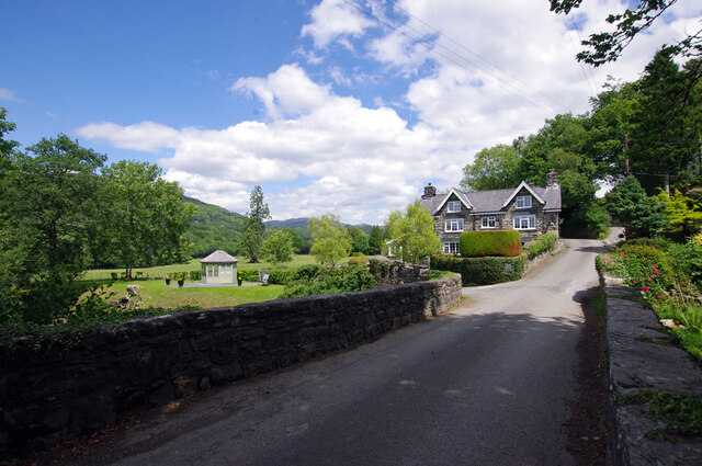
Tabor is a small village located in the county of Merionethshire, Wales. Situated in the northern part of the country, Tabor is nestled in the picturesque Vale of Ffestiniog, surrounded by rolling hills and stunning natural beauty.

The village has a rich history dating back many centuries. Originally a rural agricultural community, Tabor has evolved over time and now boasts a mix of traditional Welsh charm and modern amenities. The local economy is predominantly based on agriculture, with farming playing a significant role in the village's way of life.

Tabor is home to a close-knit community, with a population of approximately 500 residents. The village is known for its warm and friendly atmosphere, where neighbors often come together to support one another. The sense of community is further fostered by various local events and activities, such as the annual Tabor Carnival, which showcases the village's vibrant spirit.

The village is well-connected to surrounding areas, with good transportation links and access to nearby towns. The stunning Snowdonia National Park is just a short drive away, offering residents and visitors alike the opportunity to explore the breathtaking landscapes and enjoy a range of outdoor activities, including hiking, cycling, and fishing.

Tabor's charming countryside setting, combined with its strong sense of community and proximity to natural wonders, makes it an attractive place to live or visit for those seeking a peaceful and idyllic escape in the heart of Wales.

If you have any feedback on the listing, please let us know in the comments section below.
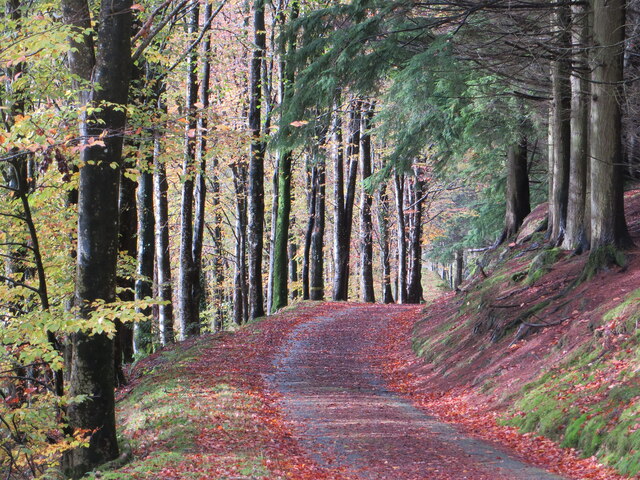
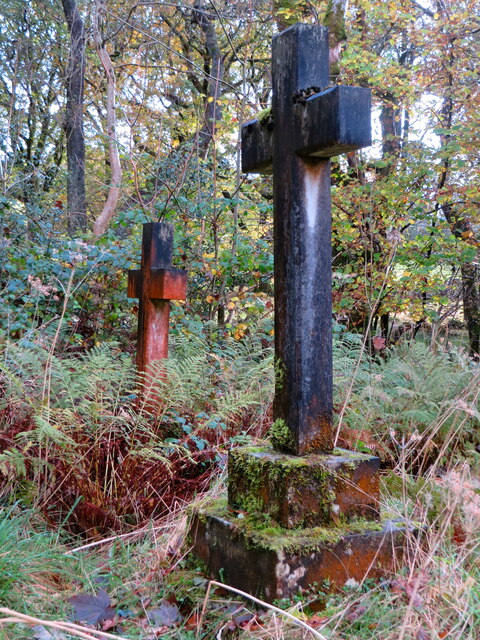
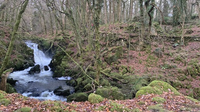
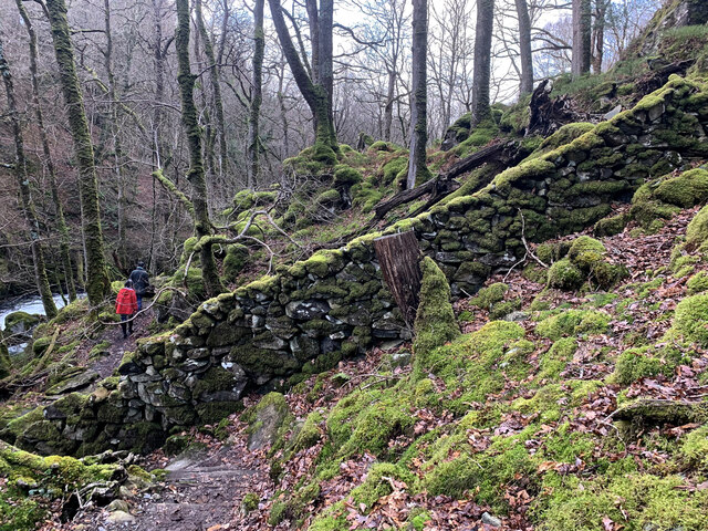
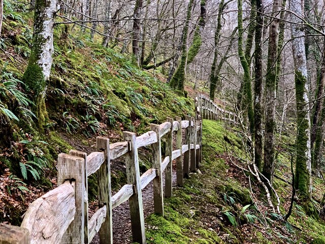
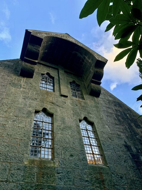
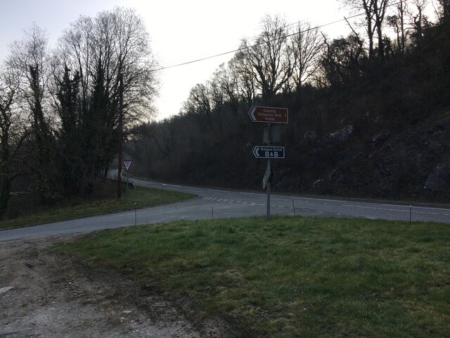
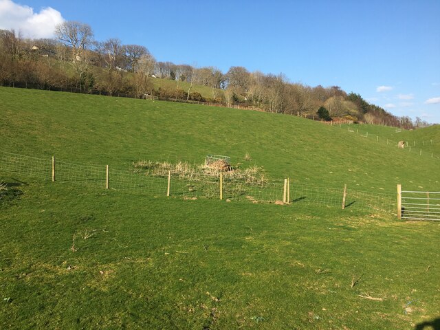
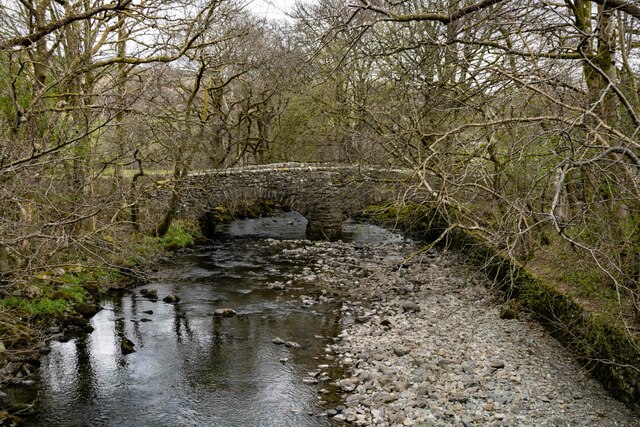
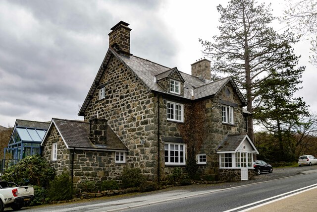
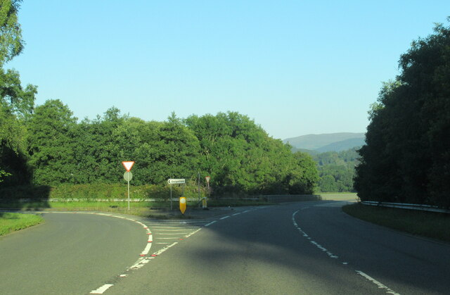
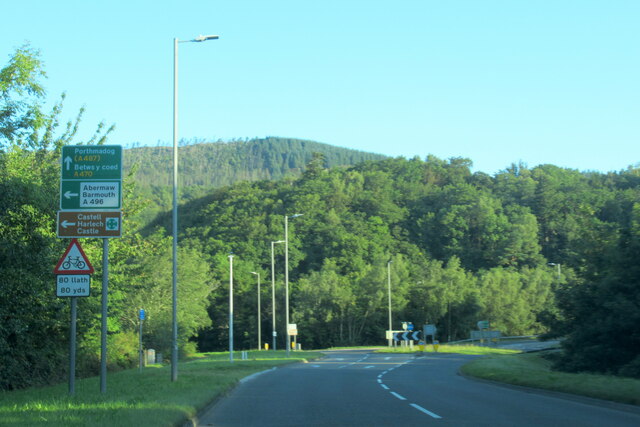
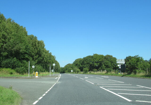
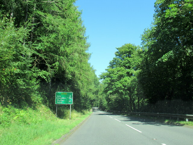
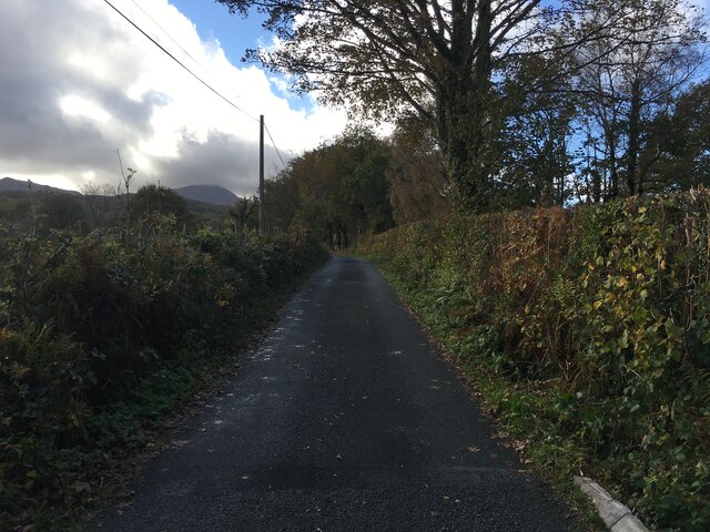
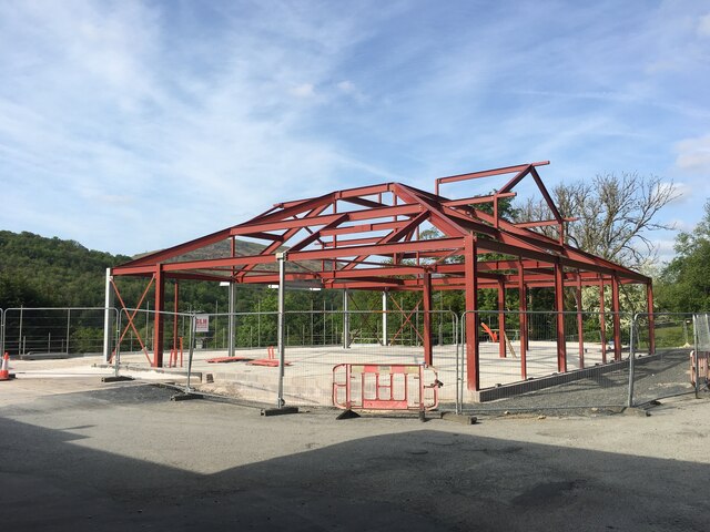
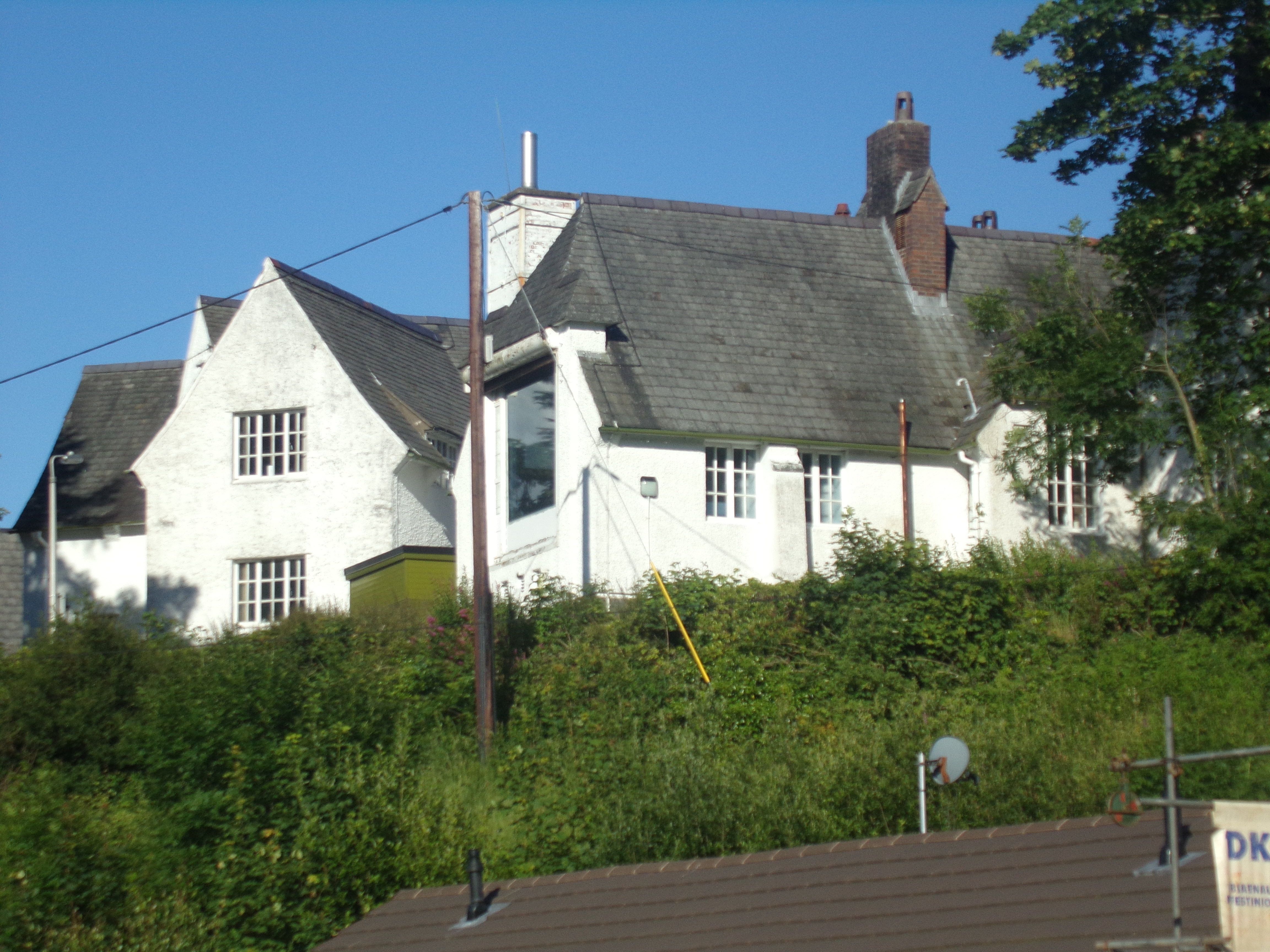
Tabor Images

Images are sourced within 2km of 52.740095/-3.8516706 or Grid Reference SH7517. Thanks to Geograph Open Source API. All images are credited.

Llywbr uwchben afon Clywedog / Track above the Torrent Walk
Mynwent eglwys Brithdir / graves at Brithdir church
Llwybr y Torrent newydd From the new footpath on the western side of the Afon Clywedog, looking over to the old path running along the retaining wall.  It means that the Torrent Walk is now a spectacular circular.
Llwybr y Torrent newydd
From the new footpath on the western side of the Afon Clywedog, looking over to the old path running along the retaining wall. It means that the Torrent Walk is now a spectacular circular.
Llwybr newydd, Llwybr y Torrent A wonderful new path has been opened on the opposite side of the Afon Clywedog from the longstanding Torrent Walk. Here it meets and crosses an old wall of the Caerynwch estate.
Llwybr newydd, Llwybr y Torrent
A wonderful new path has been opened on the opposite side of the Afon Clywedog from the longstanding Torrent Walk. Here it meets and crosses an old wall of the Caerynwch estate.
Llwybr newydd, Llwybr y Torrent The new track of the Torrent Walk, with some beautiful fencing.
Llwybr newydd, Llwybr y Torrent
The new track of the Torrent Walk, with some beautiful fencing.
Eglwys Brithdir The stark west wall of St Mark's church, the Arts & Crafts masterpiece built at the very end of the nineteenth century. A massive stone hood hangs over a raised cross.
Eglwys Brithdir
The stark west wall of St Mark's church, the Arts & Crafts masterpiece built at the very end of the nineteenth century. A massive stone hood hangs over a raised cross.
Road junction near Dolgellau
Field near Dolgellau Mart
Pont Gwanas The old bridge at Pont Gwanas crossing the river Clywedog.
Pont Gwanas
The old bridge at Pont Gwanas crossing the river Clywedog.
Cross Foxes The Cross Foxes public house.
Cross Foxes
The Cross Foxes public house.
The A470 near Dolgellau at Arran Road turning
The A470 at Dolgellau at  A494 island
The A470 at Dolgellau at A494 island
The A494 north at turning for Industrial Estate
The A494 north, 17 miles to Bala
Ordnance Survey Cut Mark This OS cut mark can be found on the wall south side of the road. It marks a point 13.149m above mean sea level.
Ordnance Survey Cut Mark
This OS cut mark can be found on the wall south side of the road. It marks a point 13.149m above mean sea level.
Minor road near Dolgellau
Building under construction, Mile End Service Station
Pont Clywedog The bridge carries what is now a minor road up the Wnion valley over the Afon Clywedog. The house was a lodge for Dolserau Hall.
Pont Clywedog
The bridge carries what is now a minor road up the Wnion valley over the Afon Clywedog. The house was a lodge for Dolserau Hall.
Show me another place!

Tabor is located at Grid Ref: SH7517 (Lat: 52.740095, Lng: -3.8516706)

Unitary Authority: Gwynedd

Police Authority: North Wales

What 3 Words

///influence.cured.scratches. Near Dolgellau, Gwynedd

Nearby Locations

Tabor

Related Wikis

St Mark's Church, Brithdir

St Mark's Church, Brithdir, is a redundant church in the hamlet of Brithdir, Gwynedd, Wales. It is designated by Cadw as a Grade I listed building, and...

Dolgelley power station

Dolgelley or Dolgellau power station was a combined diesel and hydroelectric generating station. It provided electricity to the town of Dolgellau, Gwynedd...

Ysgol y Gader

Ysgol y Gader was a bilingual comprehensive school for pupils aged 11–16 that served the town of Dolgellau and the surrounding area in South Meirionnydd...

Dolgellau and Barmouth Hospital

Dolgellau and Barmouth Hospital (Welsh: Ysbyty Dolgellau ac Abermaw) is a health facility in Dolgellau, Gwynedd, Wales. It is managed by the Betsi Cadwaladr...

Dolserau Halt railway station

Dolserau Halt (Pron: Dol-seh-rye) in Gwynedd, Wales, was on the Ruabon to Barmouth line. The platform edge was made of timber and was situated on the north...

Our Lady of Seven Sorrows Church, Dolgellau

Our Lady of Sorrows Church or its full name Our Lady of Seven Sorrows Church is a Roman Catholic parish church in Dolgellau, Gwynedd. It was built in 1966...

Dolgellau railway station

Dolgellau railway station (Welsh pronunciation: [dɔlˈɡɛɬaɨ]) in Gwynedd, North Wales, was a station on the Ruabon to Barmouth line, originally the terminus...

County Hall, Dolgellau

County Hall (Welsh: Neuadd y Sir Dolgellau) is a municipal building in Smithfield Street, Dolgellau, Gwynedd, Wales. The structure, which was the headquarters...

Nearby Amenities

Located within 500m of 52.740095,-3.8516706
Tabor
Place: hamlet
Wikidata: Q107032950
Lat/Long: 52.7397152/-3.8472795
Noexit: yes
Lat/Long: 52.7386657/-3.8544976
Quaker settlement Dolgellau
Board Type: history
Information: board
Tourism: information
Lat/Long: 52.7368292/-3.8506603
Quaker settlement Dolgellau
Historic: archaeological_site
Lat/Long: 52.7368309/-3.8516769
Power: pole
Lat/Long: 52.7395829/-3.8471318
Power: pole
Lat/Long: 52.7395341/-3.8460268
Power: pole
Lat/Long: 52.7391379/-3.8459999
Power: pole
Lat/Long: 52.738831/-3.8459544
Entrance: yes
Lat/Long: 52.7393074/-3.8471704
Post Box
Operator: Royal Mail
Post Box Type: lamp
Ref: LL40 20
Royal Cypher: EIIR
Royal Cypher Wikidata: Q33102113
Source: GPS survey
Lat/Long: 52.7394097/-3.8476842
Quaker Trail
Information: board
Tourism: information
Lat/Long: 52.7390752/-3.8475269
Quaker Trail
Information: board
Tourism: information
Lat/Long: 52.7362576/-3.8511667
Hiking: yes
Information: guidepost
Tourism: information
Lat/Long: 52.735785/-3.8531059
Hiking: yes
Information: guidepost
Source: GPS survey
Tourism: information
Lat/Long: 52.7401648/-3.8515985
Power: pole
Lat/Long: 52.7416019/-3.8586232
Power: pole
Lat/Long: 52.7413478/-3.8574176
Power: pole
Lat/Long: 52.7408371/-3.8551095
Power: pole
Lat/Long: 52.7402574/-3.8536048
Power: pole
Lat/Long: 52.7397799/-3.8524622
Power: pole
Lat/Long: 52.7394/-3.8515449
Power: pole
Lat/Long: 52.7386594/-3.849214
Power: pole
Lat/Long: 52.7380448/-3.8472815
Hiking: yes
Information: guidepost
Tourism: information
Lat/Long: 52.741581/-3.8452666
The data included in this document is from www.openstreetmap.org. The data is made available under ODbL.

Have you been to Tabor?

Leave your review of Tabor below (or comments, questions and feedback).