Habost

Settlement in Ross-shire

Scotland

Habost

Port of Ness
Port of Ness Credit: Catherine Morgan

The requested URL returned error: 429 Too Many Requests

If you have any feedback on the listing, please let us know in the comments section below.
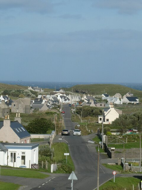
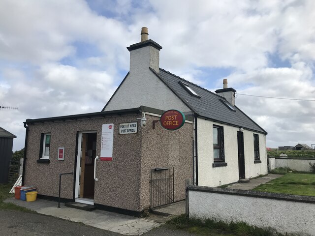
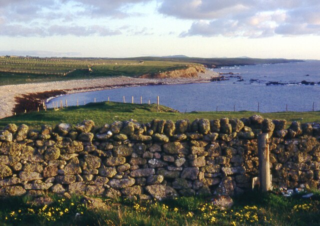
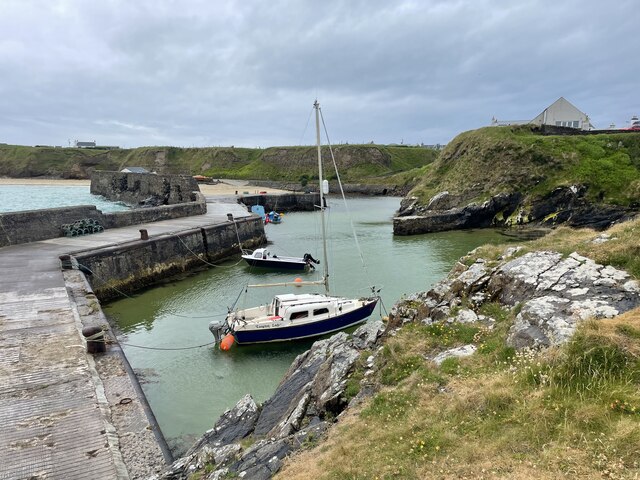
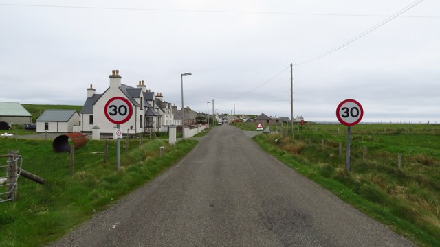
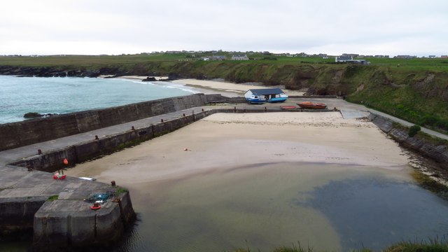
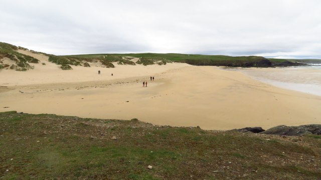
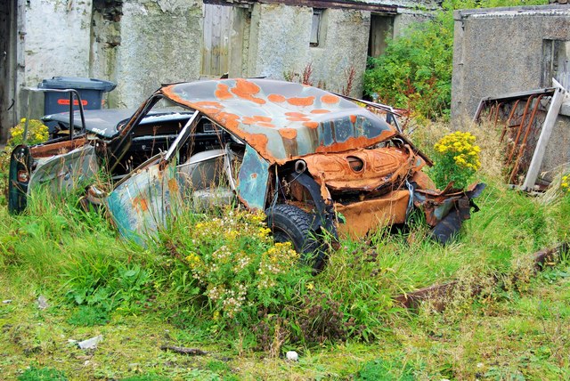
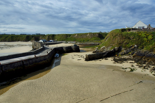
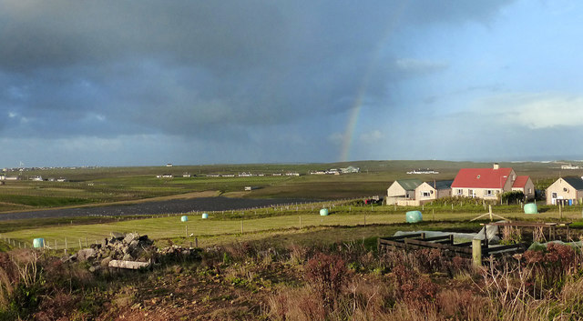
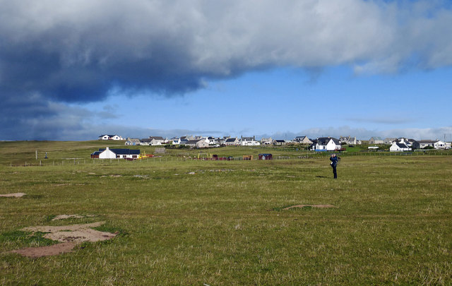
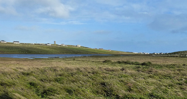
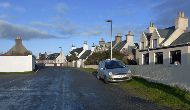
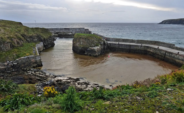
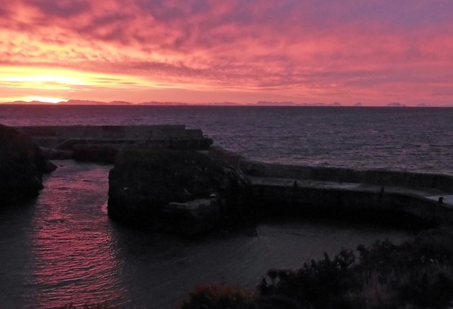
Habost Images

Images are sourced within 2km of 58.485939/-6.2560709 or Grid Reference NB5263. Thanks to Geograph Open Source API. All images are credited.

Port of Ness
Port of Ness
Port of Ness Post Office
Cnoc Còrr & Tràigh Chumail The northwest coast of Nis, Isle of Lewis.
Cnoc Còrr & Tràigh Chumail
The northwest coast of Nis, Isle of Lewis.
Port Nis In around 1999, the Ordnance Survey replaced English-language placenames in the Western Isles with Gaelic-language names. Some of the more prominent features (e.g. Isle of Barra; Stornoway; Sound of Harris) do have bilingual labels but, on the whole, villages, lochs, peaks etc. generally have the Gaelic names on the modern-day mapping.

Because the English versions have a tendency not to appear on the maps any more, I have decided to use them in my image titles and, as such, a translation will be readily available from the Gaelic labelling on the map. 

(NB I have not translated some of the more minor loch and river names, where I have not easily found the English version.)
Port Nis
In around 1999, the Ordnance Survey replaced English-language placenames in the Western Isles with Gaelic-language names. Some of the more prominent features (e.g. Isle of Barra; Stornoway; Sound of Harris) do have bilingual labels but, on the whole, villages, lochs, peaks etc. generally have the Gaelic names on the modern-day mapping. Because the English versions have a tendency not to appear on the maps any more, I have decided to use them in my image titles and, as such, a translation will be readily available from the Gaelic labelling on the map. (NB I have not translated some of the more minor loch and river names, where I have not easily found the English version.)
St Molveg's Church, Eoropie
A857 entering Port of Ness
Harbour at Port of Ness
Cunndal Drownings Memorial, Eoropie This is a memorial to the men lost here on 5th March 1885, when the local fishing fleet was caught in a terrible gale. Two boats attempted to seek shelter at Cunndal, just north of this point. Both boats and twelve men – all from Eoropie - were lost.
Cunndal Drownings Memorial, Eoropie
This is a memorial to the men lost here on 5th March 1885, when the local fishing fleet was caught in a terrible gale. Two boats attempted to seek shelter at Cunndal, just north of this point. Both boats and twelve men – all from Eoropie - were lost.
Traigh Shanndaigh, Eoropie
Old Rover 2000 (1) The remains of a once-beautiful car crumble away outside a derelict garage.  This series of Rovers was produced at Solihull from 1963 to 1977. <span class="nowrap"><a title="https://en.wikipedia.org/wiki/Rover_P6" rel="nofollow ugc noopener" href="https://en.wikipedia.org/wiki/Rover_P6">Link</a><img style="margin-left:2px;" alt="External link" title="External link - shift click to open in new window" src="https://s1.geograph.org.uk/img/external.png" width="10" height="10"/></span> .  For the front view see <a href="https://www.geograph.org.uk/photo/4705342">NB5363 : Old Rover 2000 (2)</a>.
Old Rover 2000 (1)
The remains of a once-beautiful car crumble away outside a derelict garage. This series of Rovers was produced at Solihull from 1963 to 1977. LinkExternal link . For the front view see NB5363 : Old Rover 2000 (2).
Old Rover 2000 (2) Once a fine car, rusting away outside a derelict garage in Port.  For the rear view see <a href="https://www.geograph.org.uk/photo/4705333">NB5363 : Old Rover 2000 (1)</a>.
Old Rover 2000 (2)
Once a fine car, rusting away outside a derelict garage in Port. For the rear view see NB5363 : Old Rover 2000 (1).
Port Nis
Port Nis
An Cnoc Ard View Looking towards Loch Stiapabhat on a blustery autumn day.
An Cnoc Ard View
Looking towards Loch Stiapabhat on a blustery autumn day.
Eoropaidh View Common grazing land at Eoropaidh on the Isle of Lewis.
Eoropaidh View
Common grazing land at Eoropaidh on the Isle of Lewis.
Loch Stiapabhat A well-known bird-watching spot on the Isle of Lewis.
Loch Stiapabhat
A well-known bird-watching spot on the Isle of Lewis.
Houses In Port Nis Attractive properties on the Isle of Lewis.
Houses In Port Nis
Attractive properties on the Isle of Lewis.
Port Nis Harbour Also known as Port of Ness.
Port Nis Harbour
Also known as Port of Ness.
Sunrise At Port Nis The mountains of west Sutherland can be seen on the horizon.
Sunrise At Port Nis
The mountains of west Sutherland can be seen on the horizon.
Show me another place!

Habost is located at Grid Ref: NB5263 (Lat: 58.485939, Lng: -6.2560709)

Unitary Authority: Na h-Eileanan an Iar

Police Authority: Highlands and Islands

Also known as: Tabaost

What 3 Words

///pipeline.bathtubs.posting. Near North Tolsta, Na h-Eileanan Siar

Related Wikis

Lionel, Lewis

Lionel (Scottish Gaelic: Lìonal) is a village in the Ness area of the Isle of Lewis. Lionel is within the parish of Barvas. Lionel is situated near the...

Swainbost

Swainbost (Scottish Gaelic: Suaineabost) is a village on the Isle of Lewis in the district of Ness, in the Outer Hebrides, Scotland. The name Swainbost...

Adabroc

Adabrock (Scottish Gaelic: Adabroc), is a village in the area of Ness, Lewis, in the Outer Hebrides, Scotland. Adabrock is within the parish of Barvas...

Fivepenny

Fivepenny (Scottish Gaelic: Na Còig Peighinnean) is one of the many villages in the Lewis district of Ness (Nis in Gaelic) and part of the Isle of Lewis...

Nearby Amenities

Located within 500m of 58.485939,-6.2560709
Bus Stop
Habost Ness
Naptan AtcoCode: 6010731685
Naptan Bearing: E
Naptan CommonName: Habost Ness
Naptan Indicator: Heritage Centre
Naptan Landmark: Heritage Centre
Naptan NaptanCode: 94724276
Naptan Street: Heritage Centre
Naptan Verified: no
Source: naptan_import
Lat/Long: 58.4850844/-6.2548349
Tàbost
Name En: Habost
Name Gd: Tàbost
Place: village
Wikidata: Q5636922
Wikipedia: en:Habost
Lat/Long: 58.4845522/-6.2568051
Generator Method: wind_turbine
Generator Source: wind
Power: generator
Lat/Long: 58.4884962/-6.2511133
Power: pole
Lat/Long: 58.483197/-6.2625544
Power: pole
Lat/Long: 58.4833744/-6.2624672
Power: pole
Lat/Long: 58.483706/-6.2629259
Power: pole
Lat/Long: 58.4839815/-6.2621668
Power: pole
Lat/Long: 58.4844147/-6.2610537
Power: pole
Lat/Long: 58.4848802/-6.2595758
Power: pole
Lat/Long: 58.4853275/-6.2581623
Power: pole
Lat/Long: 58.4856569/-6.2571135
Power: pole
Lat/Long: 58.4859864/-6.2560862
Power: pole
Lat/Long: 58.4862935/-6.2551233
Power: pole
Lat/Long: 58.486407/-6.2547585
Power: pole
Lat/Long: 58.4868262/-6.2533879
Power: pole
Lat/Long: 58.48723/-6.2520871
Power: pole
Lat/Long: 58.4875076/-6.2511268
Power: pole
Lat/Long: 58.4879352/-6.2497991
Power: pole
Lat/Long: 58.4886343/-6.2582338
Power: pole
Lat/Long: 58.4882463/-6.2577176
Power: pole
Lat/Long: 58.4877542/-6.2570637
Power: pole
Lat/Long: 58.4872878/-6.2564172
Power: pole
Lat/Long: 58.4867969/-6.2557854
Power: pole
Lat/Long: 58.4856572/-6.2556134
Telephone
Booth: K6
Covered: booth
Operator: BT
Phone: +44 1851 810210
Lat/Long: 58.4841609/-6.2574455
Barrier: cattle_grid
Lat/Long: 58.4830768/-6.2621686
Barrier: cattle_grid
Lat/Long: 58.4832365/-6.2617159
Barrier: cattle_grid
Lat/Long: 58.4814826/-6.2565965
Barrier: cattle_grid
Lat/Long: 58.4834014/-6.2604922
The data included in this document is from www.openstreetmap.org. The data is made available under ODbL.

Have you been to Habost?

Leave your review of Habost below (or comments, questions and feedback).