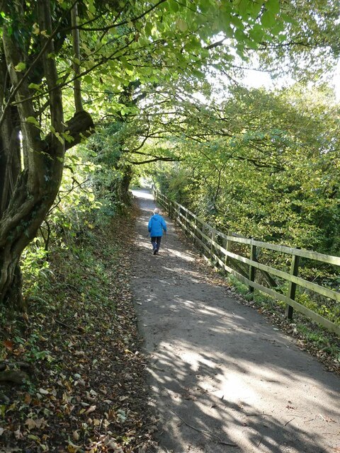
Wetters Bridge Plantation
Wood, Forest in Yorkshire Ribble Valley
England
Wetters Bridge Plantation
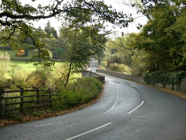
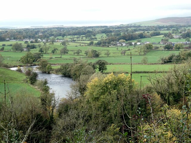
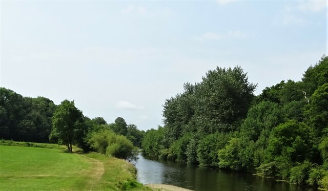
Wetters Bridge Plantation is a picturesque woodland located in the county of Yorkshire, England. Situated in the heart of the region, this expansive forest covers an area of approximately 500 acres, making it an ideal destination for nature enthusiasts and outdoor enthusiasts alike.
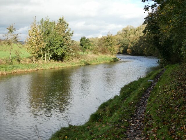
The plantation is characterized by its dense and varied vegetation, consisting of a rich mix of deciduous and evergreen trees. Majestic oak, ash, birch, and beech trees dominate the landscape, providing a stunning display of colors during the autumn months. The forest floor is adorned with an array of wildflowers, ferns, and moss, creating a vibrant and diverse ecosystem.
Traversing through the plantation, visitors will find a network of well-maintained walking trails that meander through the forest, offering breathtaking views of the surrounding countryside. These trails are suitable for all ages and abilities, ensuring that everyone can enjoy the tranquility and beauty of the woodland.
The plantation is also home to a diverse range of wildlife, including deer, foxes, squirrels, and a variety of bird species. Birdwatchers will be delighted by the opportunity to spot woodpeckers, owls, and even the occasional rare migratory bird.
Wetters Bridge Plantation is a popular destination for outdoor activities such as hiking, birdwatching, and nature photography. Its serene atmosphere and natural beauty make it an ideal retreat for those seeking solace in nature. Whether it's a leisurely stroll through the forest or an adventurous hike, visitors are sure to find solace and inspiration in the enchanting Wetters Bridge Plantation.
If you have any feedback on the listing, please let us know in the comments section below.
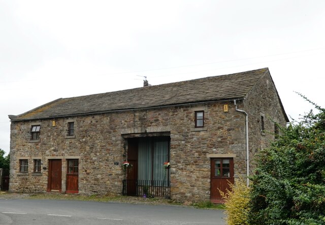
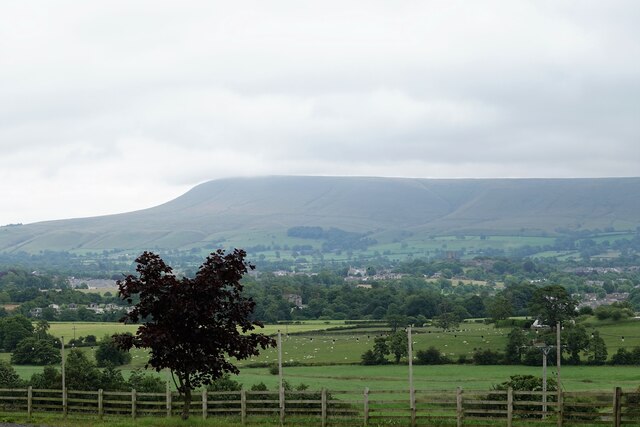
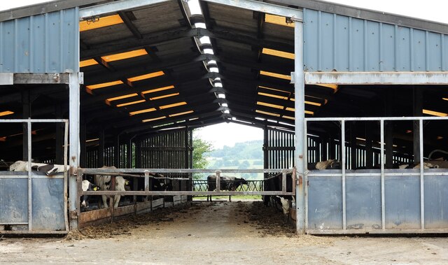
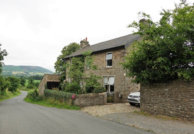
Wetters Bridge Plantation Images
Images are sourced within 2km of 53.883142/-2.4239401 or Grid Reference SD7243. Thanks to Geograph Open Source API. All images are credited.

Wetters Bridge Plantation is located at Grid Ref: SD7243 (Lat: 53.883142, Lng: -2.4239401)
Division: West Riding
Administrative County: Lancashire
District: Ribble Valley
Police Authority: Lancashire
What 3 Words
///juices.stoppage.abacus. Near Waddington, Lancashire
Nearby Locations
Related Wikis

Waddington, Lancashire
Waddington is a small village, 2 miles (3 km) north-west of Clitheroe in the Ribble Valley, Lancashire, England. The population of the civil parish at...

St Helen's Church, Waddington
St Helen's Church is in the village of Waddington, Lancashire, England. It is an active Anglican parish church in the deanery of Whalley, the archdeaconry...

Waddow Hall
Waddow Hall is a 17th-century Grade II listed building within a 178-acre (72 ha) estate that serves as a conference and activity centre for Girlguiding...

Bashall Brook
Bashall Brook is a minor river in Lancashire, England. It is 7.09 miles (11.41 km) long and has a catchment area of 6.86 square miles (1,777.68 ha).The...

Limy Water
The Limy Water is a minor river in Lancashire, England. It is 4.95 miles (7.96 km) long and has a catchment area of 7.71 square miles (1,996.33 ha).The...

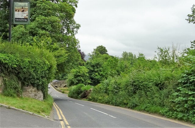
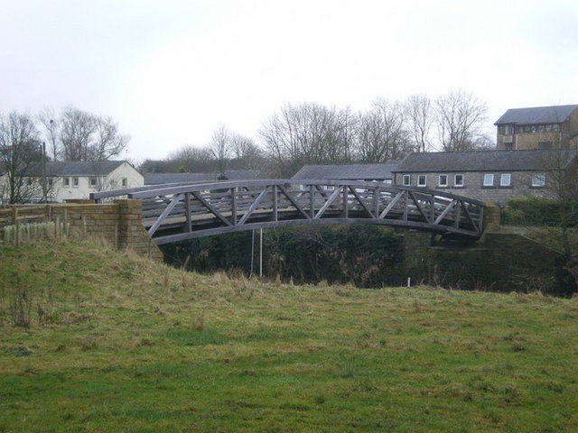
Edisford Bridge
Edisford Bridge (or Eadsford) is a toll-free, nine-span bridge over the River Ribble near Clitheroe, Lancashire, England. A Grade II listed structure and...
Low Moor, Lancashire
Low Moor is a hamlet which is part of the town of Clitheroe, located in Lancashire, England. It is situated two miles southwest of Clitheroe proper. It...

Moorland School
Moorland School is a selective independent day and boarding school situated in the Ribble Valley, Clitheroe in North West England. The original building...
Related Videos
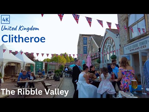
Clitheroe and Castle Walking Tour 4K - English Country Town (60fps)
Beautiful evening walk just before sunset. The town is Clitheroe in Lancashire. The walk takes us through the town and then up to ...
![Clitheroe Town Centre and Castle | Walking Tour [4K60fps]](https://i.ytimg.com/vi/w22z_lFvv30/hqdefault.jpg)
Clitheroe Town Centre and Castle | Walking Tour [4K60fps]
A MancPlod on-tour special today plodders. We take a trip around Clitheroe including the castle. Unfortunately with it being a ...
Tour of English castle and town of Clitheroe.
nickystravels Watch the full walking tour of Clitheroe and its historic castle. #walking #castle #england #englishhistory.
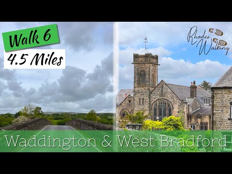
Guided Walk around Waddington & West Bradford filmed in 4K
Welcome to Rhodes Walking and Walk 6: Walk 6 takes you around the village of Waddington in Clitheroe Lancashire, then ...
Nearby Amenities
Located within 500m of 53.883142,-2.4239401Have you been to Wetters Bridge Plantation?
Leave your review of Wetters Bridge Plantation below (or comments, questions and feedback).