Dale Hill

Hill, Mountain in Yorkshire Ribble Valley

England

Dale Hill

Brungerley Bridge The B6274 from Slaidburn to Clitheroe crosses the River Ribble.
Brungerley Bridge Credit: Oliver Dixon

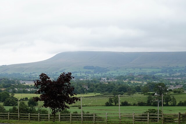
Dale Hill, located in Yorkshire, is a prominent hill that forms part of the picturesque landscape of the region. Rising to an elevation of approximately 400 meters (1312 feet), it offers breathtaking views of the surrounding countryside. Situated in the heart of the Yorkshire Dales National Park, Dale Hill attracts nature enthusiasts, hikers, and tourists who appreciate the beauty of the outdoors.

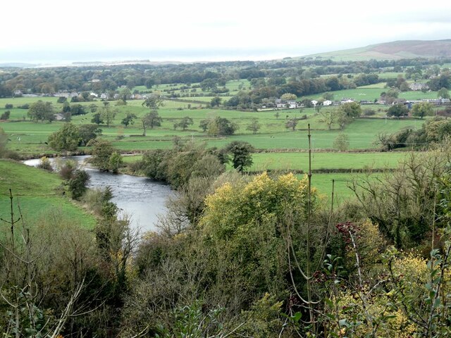
Covered in lush greenery, the hill is characterized by its gentle slopes and rolling terrain. Its slopes are adorned with a variety of plant species, including heather, bracken, and wildflowers, creating a vibrant and colorful landscape during the summer months. The hill's summit provides an ideal vantage point to admire the expansive panoramic views of the Yorkshire Dales, with its patchwork of fields, meandering rivers, and quaint villages.

The hill is home to a diverse range of wildlife, including birds of prey such as kestrels and buzzards, as well as small mammals like rabbits and hares. Visitors may also catch a glimpse of rare species such as red squirrels and mountain hares, which inhabit the area.

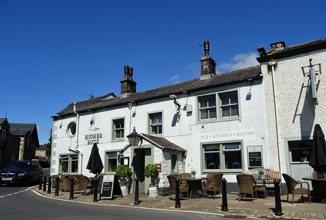
Dale Hill offers a multitude of walking and hiking trails, catering to different levels of difficulty. These trails allow visitors to explore the hill's natural beauty at their own pace and offer opportunities for picnicking and wildlife spotting along the way. Additionally, the hill's proximity to nearby towns and villages provides easy access to amenities, accommodations, and historical attractions, making it an ideal destination for a day trip or a longer stay.

Overall, Dale Hill in Yorkshire offers a serene and captivating experience for nature lovers and outdoor enthusiasts, showcasing the region's natural beauty and captivating charm.

If you have any feedback on the listing, please let us know in the comments section below.
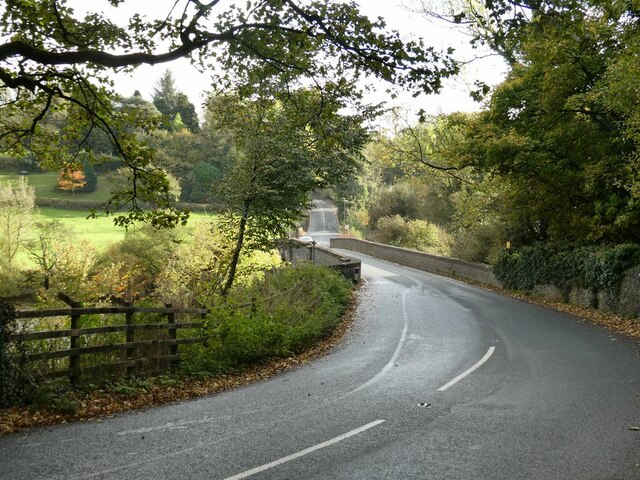
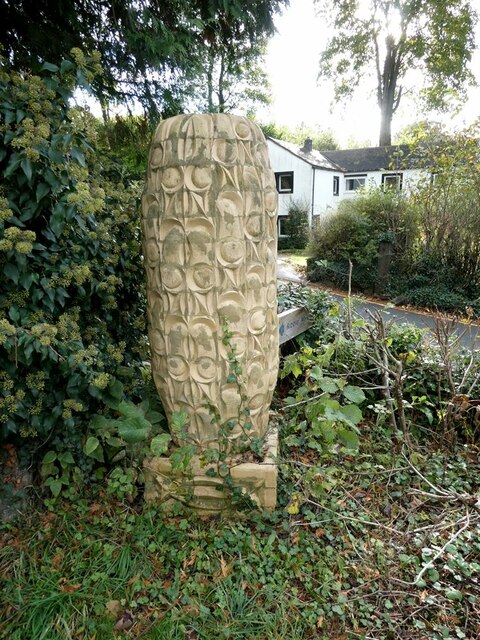
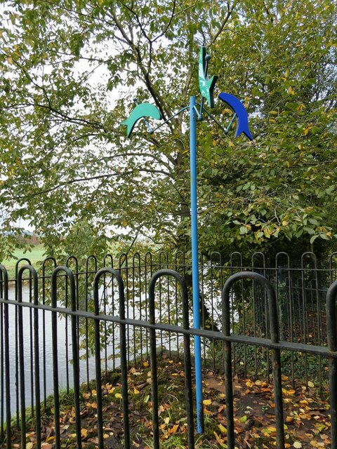
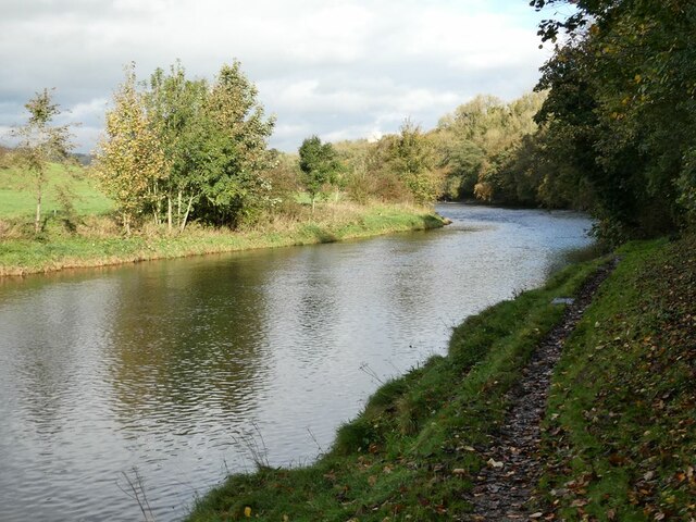
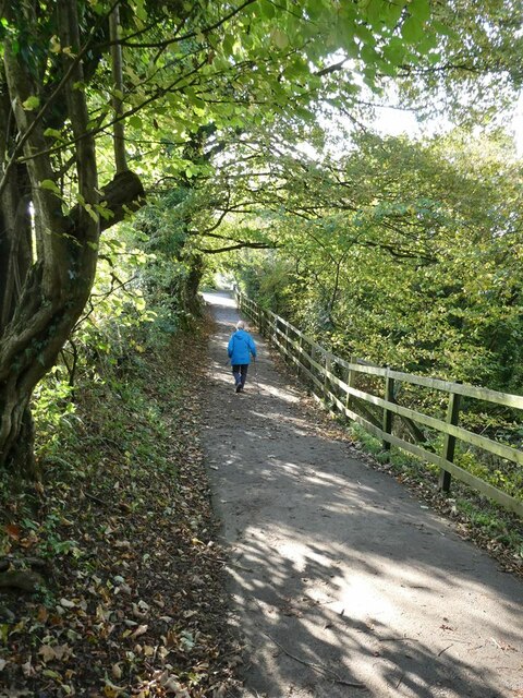
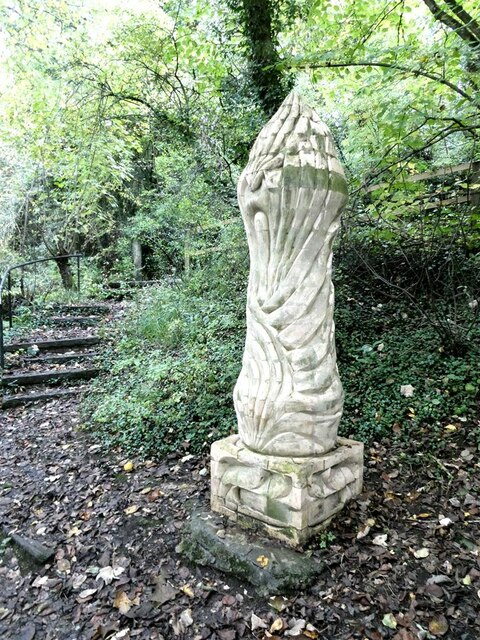
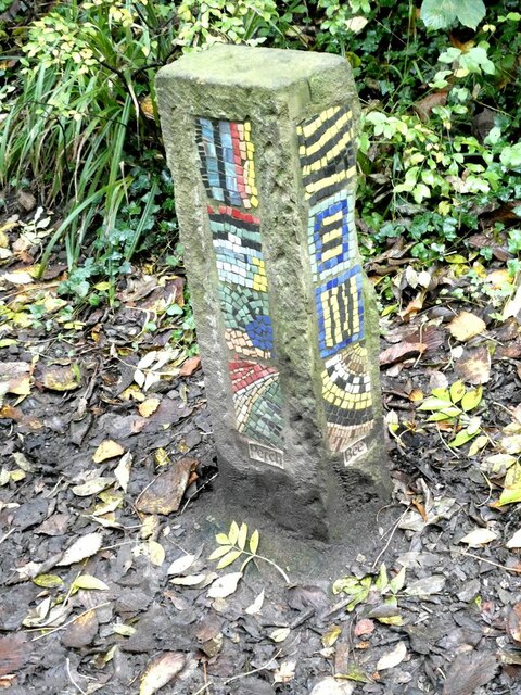
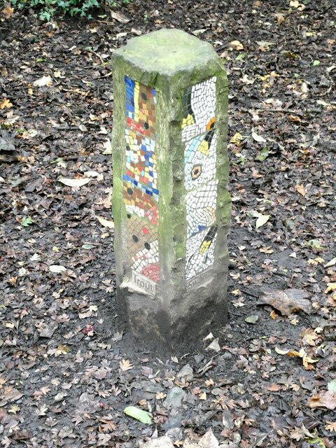
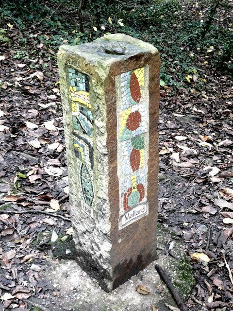
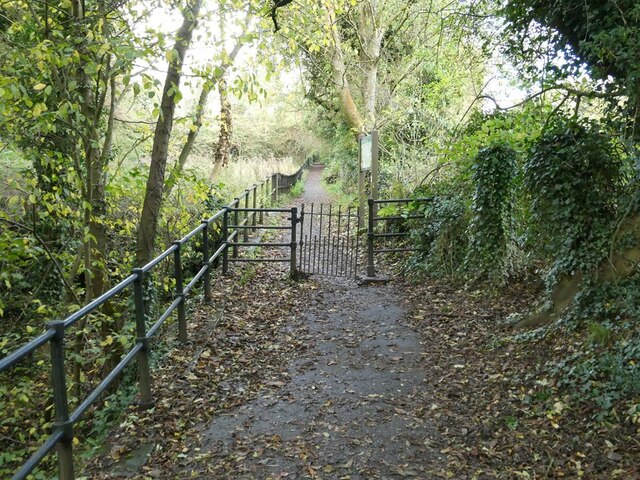
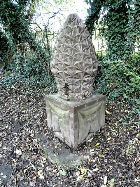
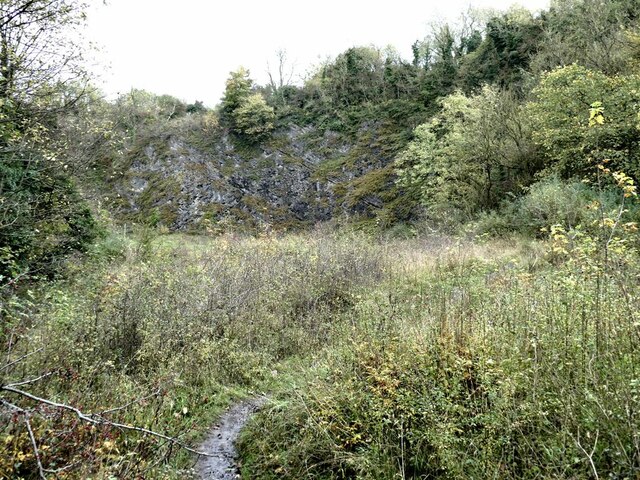
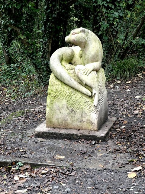
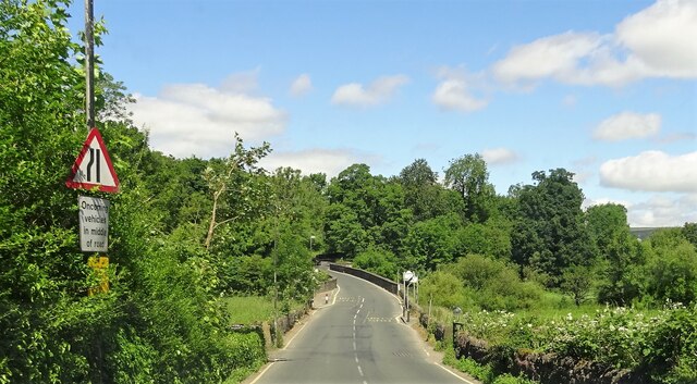
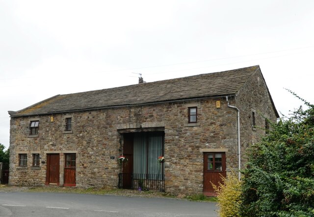
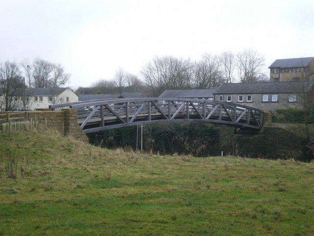
Dale Hill Images

Images are sourced within 2km of 53.884409/-2.4215188 or Grid Reference SD7243. Thanks to Geograph Open Source API. All images are credited.

Brungerley Bridge The B6274 from Slaidburn to Clitheroe crosses the River Ribble.
Brungerley Bridge
The B6274 from Slaidburn to Clitheroe crosses the River Ribble.
"Alder Cone" Sculpture by Halima Cassell, one of the sculptures on the Ribble Valley Sculpture Trail. Dated 2009, this is one of the most recent sculptures on the Trail.
"Alder Cone"
Sculpture by Halima Cassell, one of the sculptures on the Ribble Valley Sculpture Trail. Dated 2009, this is one of the most recent sculptures on the Trail.
Fish mobile Sculpture by Julie Ann Seaman on the banks of the River Ribble, part of the Ribble Valley Sculpture Trail.
Fish mobile
Sculpture by Julie Ann Seaman on the banks of the River Ribble, part of the Ribble Valley Sculpture Trail.
River Ribble Looking upstream a short way above Brungerley Bridge.
River Ribble
Looking upstream a short way above Brungerley Bridge.
Path from Cross Hill Quarry to Brungerley Park The fence guards a long very steep drop down to the River Ribble.
Path from Cross Hill Quarry to Brungerley Park
The fence guards a long very steep drop down to the River Ribble.
"Lords and Ladies" Sculpture by Halima Cassell, one of the sculptures on the Ribble Valley Sculpture Trail. Dated 2009, this is one of the most recent sculptures on the Trail. It is constructed from over 100 intricately carved ceramic bricks and evokes the complex flower structure of the Lords and Ladies plant which can be found growing along the Trail.
"Lords and Ladies"
Sculpture by Halima Cassell, one of the sculptures on the Ribble Valley Sculpture Trail. Dated 2009, this is one of the most recent sculptures on the Trail. It is constructed from over 100 intricately carved ceramic bricks and evokes the complex flower structure of the Lords and Ladies plant which can be found growing along the Trail.
Mosaic Way Marker Sculpture by Paul Smith, one of three created in conjunction with Clitheroe school children through the Wildlife after School project. The four sides of the pillar each carry a mosaic representing examples of natural history to be found along this path; the two sides visible here depict Perch and Bee. Part of the Ribble Valley Sculpture Trail.
Mosaic Way Marker
Sculpture by Paul Smith, one of three created in conjunction with Clitheroe school children through the Wildlife after School project. The four sides of the pillar each carry a mosaic representing examples of natural history to be found along this path; the two sides visible here depict Perch and Bee. Part of the Ribble Valley Sculpture Trail.
Mosaic Way Marker Sculpture by Paul Smith, one of three created in conjunction with Clitheroe school children through the Wildlife after School project. The four sides of the pillar each carry a mosaic representing examples of natural history to be found along this path; the two sides visible here depict Trout and Heron. Part of the Ribble Valley Sculpture Trail.
Mosaic Way Marker
Sculpture by Paul Smith, one of three created in conjunction with Clitheroe school children through the Wildlife after School project. The four sides of the pillar each carry a mosaic representing examples of natural history to be found along this path; the two sides visible here depict Trout and Heron. Part of the Ribble Valley Sculpture Trail.
Mosaic Way Marker Sculpture by Paul Smith, one of three created in conjunction with Clitheroe school children through the Wildlife after School project. The four sides of the pillar each carry a mosaic representing examples of natural history to be found along this path; the two sides visible here depict Frog and Mallard. Part of the Ribble Valley Sculpture Trail.
Mosaic Way Marker
Sculpture by Paul Smith, one of three created in conjunction with Clitheroe school children through the Wildlife after School project. The four sides of the pillar each carry a mosaic representing examples of natural history to be found along this path; the two sides visible here depict Frog and Mallard. Part of the Ribble Valley Sculpture Trail.
Path past Cross Hill Quarry The railings protect the steep drop to the old quarry to the left.
Path past Cross Hill Quarry
The railings protect the steep drop to the old quarry to the left.
"Fir Cone" Sculpture by Halima Cassell, one of the sculptures on the Ribble Valley Sculpture Trail. Dated 2009, this is one of the most recent sculptures on the Trail. It is constructed from over 100 intricately carved ceramic bricks.
"Fir Cone"
Sculpture by Halima Cassell, one of the sculptures on the Ribble Valley Sculpture Trail. Dated 2009, this is one of the most recent sculptures on the Trail. It is constructed from over 100 intricately carved ceramic bricks.
Cross Hill Quarry Abandoned limestone quarry, now part of a wildlife trail.
Cross Hill Quarry
Abandoned limestone quarry, now part of a wildlife trail.
"Otter" Sculpture by Fiona Bowley on the Ribble Valley Sculpture Trail.
"Otter"
Sculpture by Fiona Bowley on the Ribble Valley Sculpture Trail.
View of the Ribble Valley Seen from a viewpoint at the top of Cross Hill Quarry. West Bradford village to the right in the middle distance.
View of the Ribble Valley
Seen from a viewpoint at the top of Cross Hill Quarry. West Bradford village to the right in the middle distance.
Brungerley Bridge Carrying the B6478 over the River Ribble.
Brungerley Bridge
Carrying the B6478 over the River Ribble.
The Higher Buck A pub on The Square in Waddington.
The Higher Buck
A pub on The Square in Waddington.
Converted farm buildings Old Stable Cottage and Towler's Barn at Bashall Town.
Converted farm buildings
Old Stable Cottage and Towler's Barn at Bashall Town.
Mist over Pendle Pendle Hill from Bashall Town.
Mist over Pendle
Pendle Hill from Bashall Town.
Show me another place!

Dale Hill is located at Grid Ref: SD7243 (Lat: 53.884409, Lng: -2.4215188)

Division: West Riding

Administrative County: Lancashire

District: Ribble Valley

Police Authority: Lancashire

What 3 Words

///handsets.clash.redouble. Near Waddington, Lancashire

Related Wikis

Waddington, Lancashire

Waddington is a small village, 2 miles (3 km) north-west of Clitheroe in the Ribble Valley, Lancashire, England. The population of the civil parish at...

St Helen's Church, Waddington

St Helen's Church is in the village of Waddington, Lancashire, England. It is an active Anglican parish church in the deanery of Whalley, the archdeaconry...

Waddow Hall

Waddow Hall is a 17th-century Grade II listed building within a 178-acre (72 ha) estate that serves as a conference and activity centre for Girlguiding...

Bashall Brook

Bashall Brook is a minor river in Lancashire, England. It is 7.09 miles (11.41 km) long and has a catchment area of 6.86 square miles (1,777.68 ha).The...

Limy Water

The Limy Water is a minor river in Lancashire, England. It is 4.95 miles (7.96 km) long and has a catchment area of 7.71 square miles (1,996.33 ha).The...

Low Moor, Lancashire

Low Moor is a hamlet which is part of the town of Clitheroe, located in Lancashire, England. It is situated two miles southwest of Clitheroe proper. It...

Edisford Bridge

Edisford Bridge (or Eadsford) is a toll-free, nine-span bridge over the River Ribble near Clitheroe, Lancashire, England. A Grade II listed structure and...

Moorland School

Moorland School is a selective independent day and boarding school situated in the Ribble Valley, Clitheroe in North West England. The original building...

Related Videos

Clitheroe and Castle Walking Tour 4K - English Country Town (60fps)

Beautiful evening walk just before sunset. The town is Clitheroe in Lancashire. The walk takes us through the town and then up to ...

Clitheroe Town Centre and Castle | Walking Tour [4K60fps]

A MancPlod on-tour special today plodders. We take a trip around Clitheroe including the castle. Unfortunately with it being a ...

Tour of English castle and town of Clitheroe.

nickystravels Watch the full walking tour of Clitheroe and its historic castle. #walking #castle #england #englishhistory.

Guided Walk around Waddington & West Bradford filmed in 4K

Welcome to Rhodes Walking and Walk 6: Walk 6 takes you around the village of Waddington in Clitheroe Lancashire, then ...

Nearby Amenities

Located within 500m of 53.884409,-2.4215188
Twiter Bridge Farm
Place: neighbourhood
Source: OSOpenDataStreet
Lat/Long: 53.8848287/-2.4254049
The data included in this document is from www.openstreetmap.org. The data is made available under ODbL.

Have you been to Dale Hill?

Leave your review of Dale Hill below (or comments, questions and feedback).