Cross Lane Plantation
Wood, Forest in Yorkshire Ribble Valley
England
Cross Lane Plantation
Cross Lane Plantation is a picturesque woodland located in the Yorkshire region of England. Covering an expansive area, it is a captivating destination for nature enthusiasts and those seeking tranquility amidst the beauty of nature. The plantation is known for its dense and diverse forest that is home to a wide array of flora and fauna.
The woodland boasts a variety of tree species, including oak, beech, and pine, which create a rich and vibrant canopy. The forest floor is adorned with a carpet of wildflowers, making it a delight to explore during the spring and summer months. The plantation is also home to a network of walking trails that wind through the woods, providing visitors with the opportunity to immerse themselves in the natural surroundings.
Wildlife is abundant in Cross Lane Plantation, with sightings of deer, rabbits, and squirrels being common. Birdwatchers will also be pleased to spot a variety of species, including woodpeckers, owls, and songbirds. The peaceful atmosphere of the woodland makes it an ideal spot for birdwatching and wildlife photography.
Visitors to Cross Lane Plantation can indulge in a range of recreational activities, such as hiking, picnicking, and nature photography. The plantation is well-maintained with picnic areas and benches scattered throughout, offering visitors the chance to relax and enjoy the beauty of their surroundings. The plantation also hosts educational programs and guided tours, allowing visitors to learn more about the flora, fauna, and conservation efforts in the area.
Overall, Cross Lane Plantation in Yorkshire is a natural haven that offers a serene escape from the hustle and bustle of everyday life. With its lush forest, diverse wildlife, and recreational opportunities, it is a must-visit destination for nature lovers and those seeking a peaceful retreat.
If you have any feedback on the listing, please let us know in the comments section below.
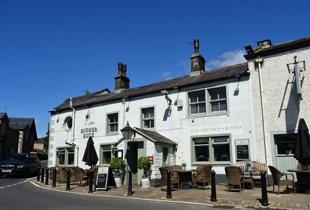
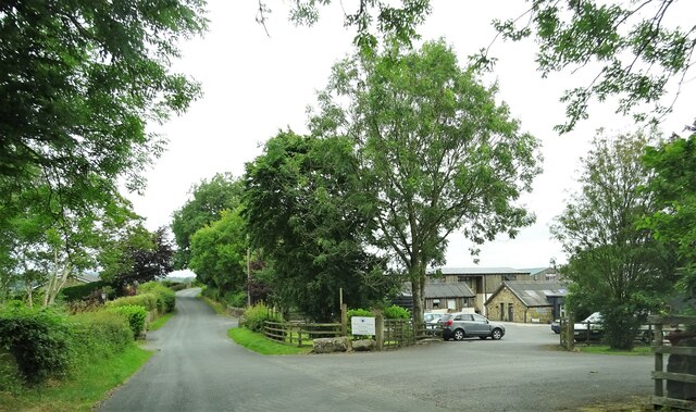
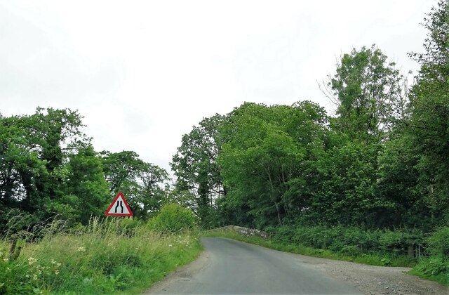
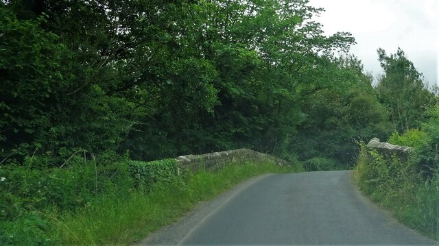
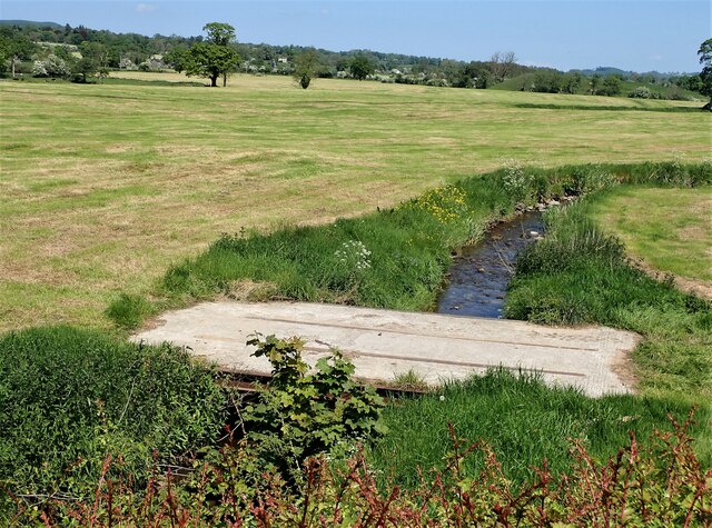
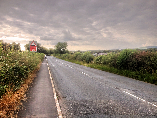
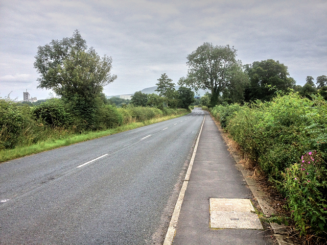
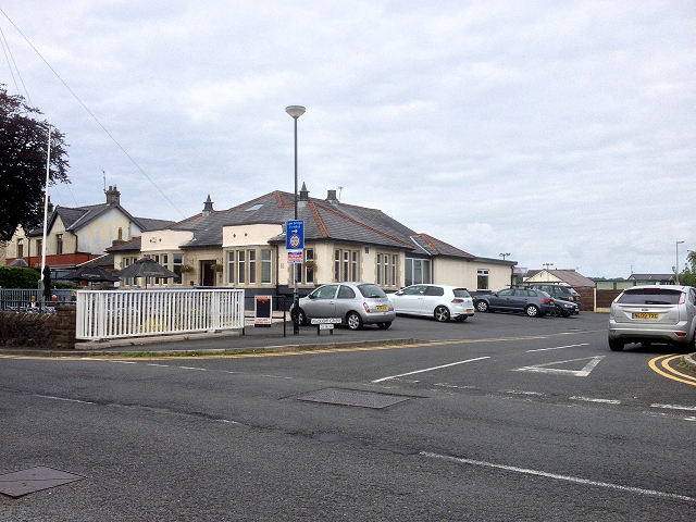
Cross Lane Plantation Images
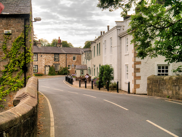
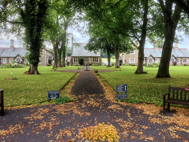
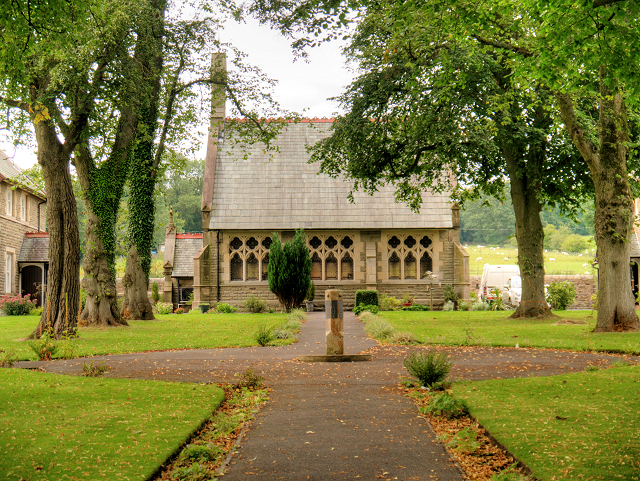
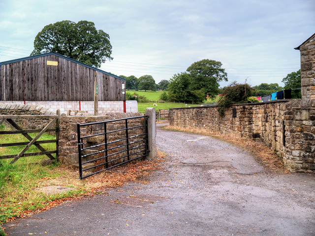
Images are sourced within 2km of 53.896111/-2.4241932 or Grid Reference SD7244. Thanks to Geograph Open Source API. All images are credited.


Cross Lane Plantation is located at Grid Ref: SD7244 (Lat: 53.896111, Lng: -2.4241932)
Division: West Riding
Administrative County: Lancashire
District: Ribble Valley
Police Authority: Lancashire
What 3 Words
///holiday.grinders.solder. Near Waddington, Lancashire
Nearby Locations
Related Wikis

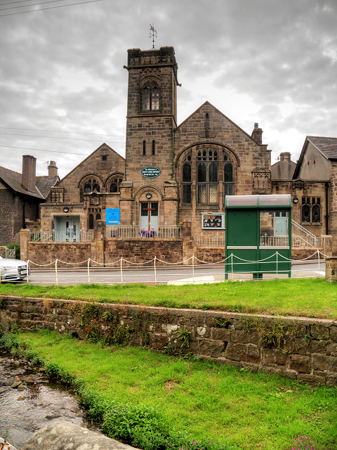
St Helen's Church, Waddington
St Helen's Church is in the village of Waddington, Lancashire, England. It is an active Anglican parish church in the deanery of Whalley, the archdeaconry...

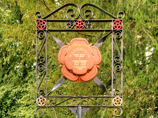
Waddington, Lancashire
Waddington is a small village, 2 miles (3 km) north-west of Clitheroe in the Ribble Valley, Lancashire, England. The population of the civil parish at...

Eaves Hall
Eaves Hall was built in 1864 for John Burton (1809–1879), first son of James Burton and a wealthy cotton mill-owner.Sold by the Burtons in 1938, having...

Waddow Hall
Waddow Hall is a 17th-century Grade II listed building within a 178-acre (72 ha) estate that serves as a conference and activity centre for Girlguiding...

West Bradford, Lancashire
West Bradford is a village and civil parish in Lancashire, England, 2.5 miles (4 km) north of Clitheroe. The population at the 2011 census was 788. It...

Moorland School
Moorland School is a selective independent day and boarding school situated in the Ribble Valley, Clitheroe in North West England. The original building...

Bashall Eaves
Bashall Eaves is a village and civil parish in the Ribble Valley district of Lancashire, England, about four miles (6 km) west of Clitheroe. The placename...

Bashall Brook
Bashall Brook is a minor river in Lancashire, England. It is 7.09 miles (11.41 km) long and has a catchment area of 6.86 square miles (1,777.68 ha).The...
Nearby Amenities
Located within 500m of 53.896111,-2.4241932Have you been to Cross Lane Plantation?
Leave your review of Cross Lane Plantation below (or comments, questions and feedback).