Hospital Wood
Wood, Forest in Yorkshire Ribble Valley
England
Hospital Wood
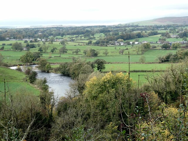
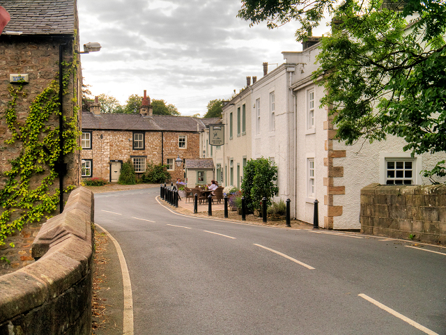
Hospital Wood is a picturesque woodland located in Yorkshire, England. Situated in the heart of the county, it covers an area of approximately 100 acres and is renowned for its natural beauty and rich biodiversity. The wood is situated on the outskirts of a small village, and its tranquil surroundings make it a popular destination for nature enthusiasts and walkers.
The wood is predominantly composed of native broadleaf trees, including oak, beech, and birch, which create a dense canopy providing shade and shelter for a variety of wildlife. The forest floor is adorned with an array of wildflowers, mosses, and ferns, adding to the wood's enchanting atmosphere.
Hospital Wood is home to a diverse range of fauna, with sightings of deer, squirrels, and a plethora of bird species being common. Birdwatchers are often drawn to the wood's avian inhabitants, including woodpeckers, owls, and various songbirds. With its mix of meandering paths and clearings, the wood offers an excellent opportunity for wildlife observation and photography.
The wood has historical significance, with its name originating from a nearby medieval hospital that once stood in the area. Although the original hospital no longer exists, its name lives on, adding a touch of intrigue to the wood's allure.
Hospital Wood, Yorkshire, offers a peaceful and serene escape from the bustle of modern life. Its natural charm, diverse ecosystem, and historical connections make it an ideal destination for those seeking a connection with nature and a glimpse into the region's past.
If you have any feedback on the listing, please let us know in the comments section below.
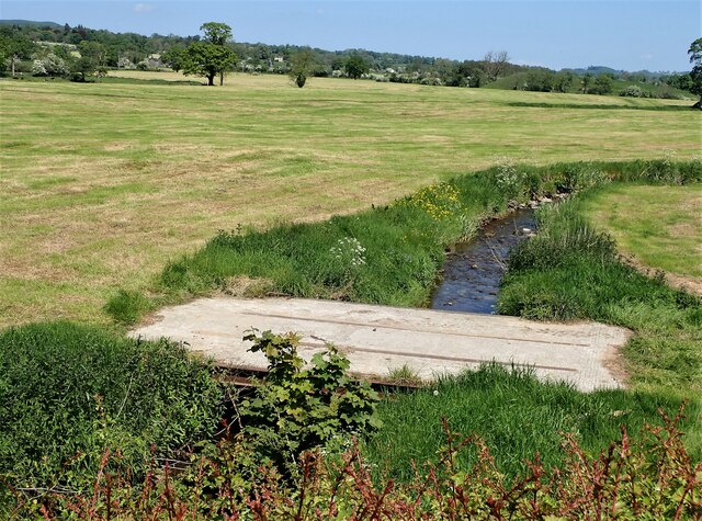
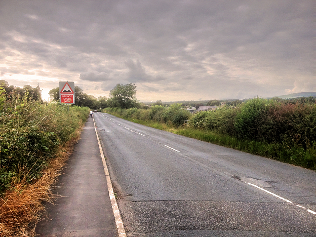
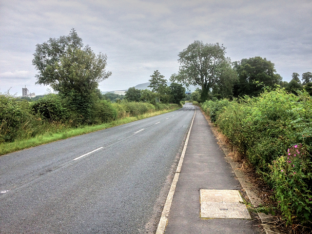
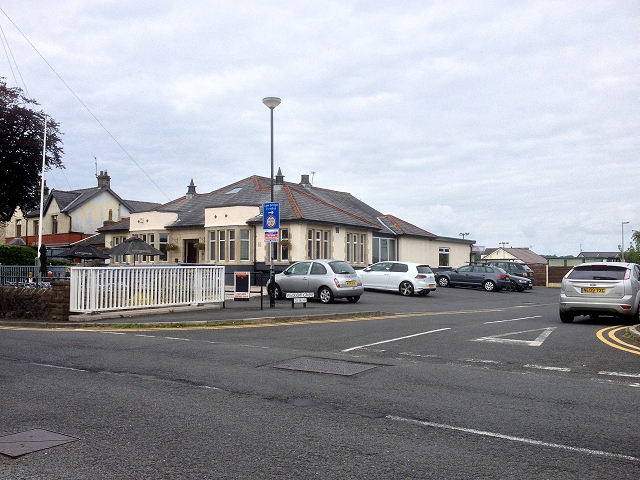
Hospital Wood Images
Images are sourced within 2km of 53.89826/-2.4162406 or Grid Reference SD7244. Thanks to Geograph Open Source API. All images are credited.


Hospital Wood is located at Grid Ref: SD7244 (Lat: 53.89826, Lng: -2.4162406)
Division: West Riding
Administrative County: Lancashire
District: Ribble Valley
Police Authority: Lancashire
What 3 Words
///postcard.scavenger.noodle. Near Waddington, Lancashire
Nearby Locations
Related Wikis

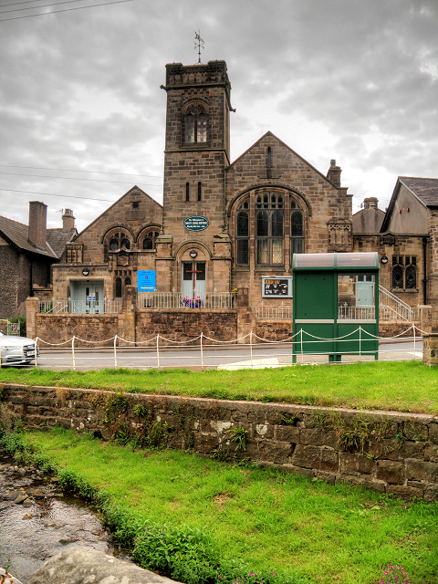
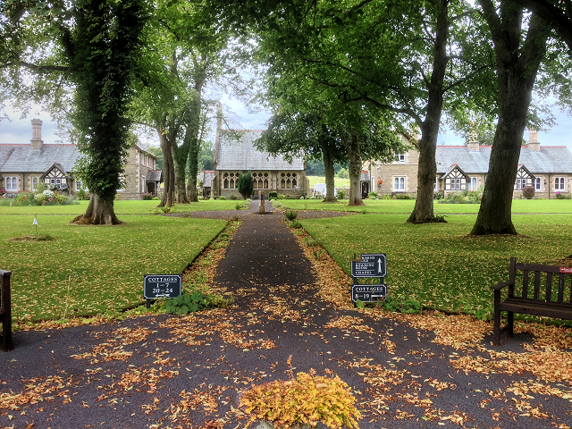
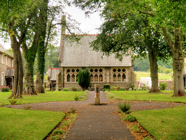
St Helen's Church, Waddington
St Helen's Church is in the village of Waddington, Lancashire, England. It is an active Anglican parish church in the deanery of Whalley, the archdeaconry...

Eaves Hall
Eaves Hall was built in 1864 for John Burton (1809–1879), first son of James Burton and a wealthy cotton mill-owner.Sold by the Burtons in 1938, having...

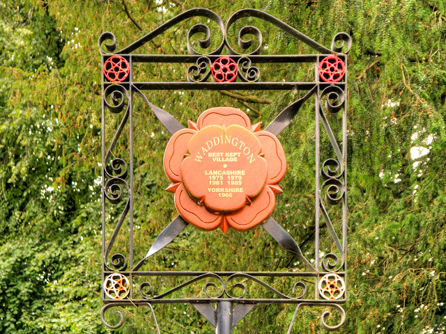
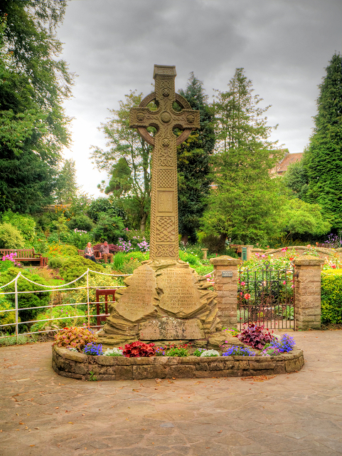
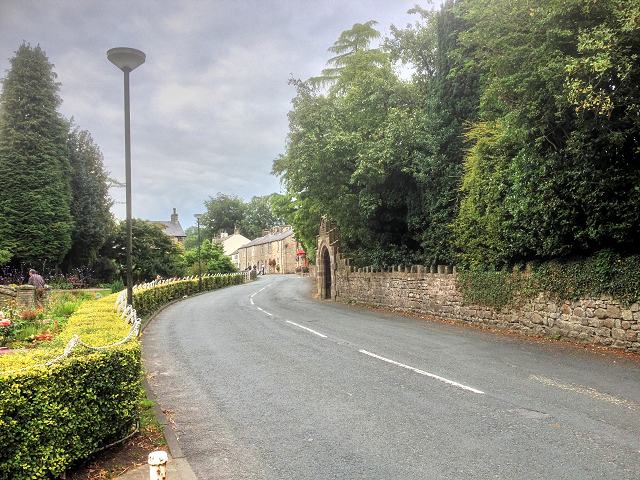
Waddington, Lancashire
Waddington is a small village, 2 miles (3 km) north-west of Clitheroe in the Ribble Valley, Lancashire, England. The population of the civil parish at...

West Bradford, Lancashire
West Bradford is a village and civil parish in Lancashire, England, 2.5 miles (4 km) north of Clitheroe. The population at the 2011 census was 788. It...

Waddow Hall
Waddow Hall is a 17th-century Grade II listed building within a 178-acre (72 ha) estate that serves as a conference and activity centre for Girlguiding...

Moorland School
Moorland School is a selective independent day and boarding school situated in the Ribble Valley, Clitheroe in North West England. The original building...

Clitheroe railway station
Clitheroe railway station serves the town of Clitheroe in Lancashire, England. The station is the northern terminus of the Ribble Valley Line / Clitheroe...

Clitheroe Interchange
Clitheroe Interchange is the main transport interchange in the market town of Clitheroe and the Ribble Valley district in Lancashire, England. It consists...
Nearby Amenities
Located within 500m of 53.89826,-2.4162406Have you been to Hospital Wood?
Leave your review of Hospital Wood below (or comments, questions and feedback).