Hollins Wood
Wood, Forest in Yorkshire Ribble Valley
England
Hollins Wood
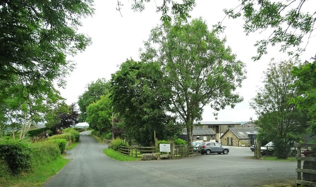
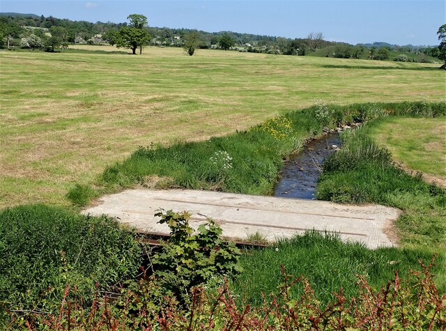
Hollins Wood is a picturesque woodland located in the county of Yorkshire, England. Situated in the heart of the Yorkshire Dales National Park, it is a popular destination for nature enthusiasts and hikers alike. The wood covers an expansive area of approximately 100 acres, offering visitors a diverse range of flora and fauna to explore.
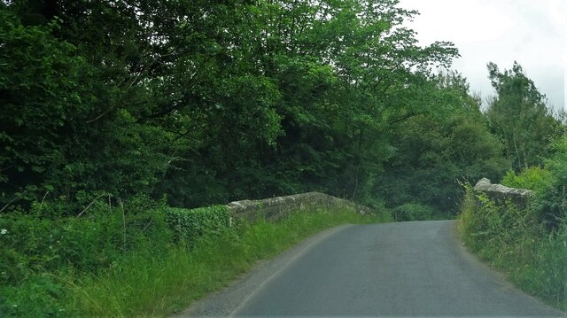
The wood is characterized by its dense canopy of mature trees, predominantly oak and beech, which provide a natural shelter and create a serene and tranquil atmosphere. The forest floor is adorned with a carpet of wildflowers, including bluebells and primroses, which bloom in vibrant colors during the spring season.
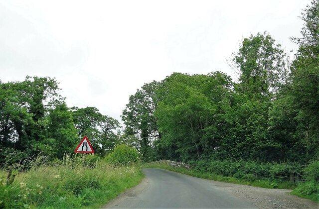
Hollins Wood boasts an extensive network of walking trails and paths, allowing visitors to fully immerse themselves in the beauty of the surroundings. These trails cater to all levels of fitness and offer breathtaking views of the rolling hills and valleys that surround the wood.
The wood is also home to a rich and diverse wildlife population. Deer, rabbits, and a variety of bird species, including owls and woodpeckers, can often be spotted in the area. The presence of these creatures adds to the enchanting ambiance of the wood and provides ample opportunities for wildlife enthusiasts and photographers.
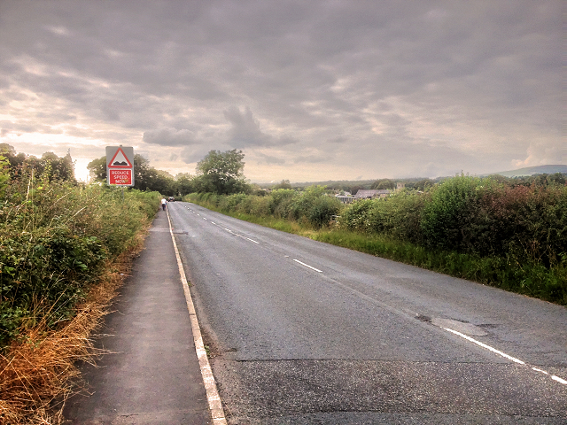
Hollins Wood is open to the public year-round and is easily accessible by car or public transport. It offers a peaceful retreat from the hustle and bustle of daily life, allowing visitors to reconnect with nature and experience the beauty of Yorkshire's countryside.
If you have any feedback on the listing, please let us know in the comments section below.
Hollins Wood Images
Images are sourced within 2km of 53.895329/-2.4267265 or Grid Reference SD7244. Thanks to Geograph Open Source API. All images are credited.


Hollins Wood is located at Grid Ref: SD7244 (Lat: 53.895329, Lng: -2.4267265)
Division: West Riding
Administrative County: Lancashire
District: Ribble Valley
Police Authority: Lancashire
What 3 Words
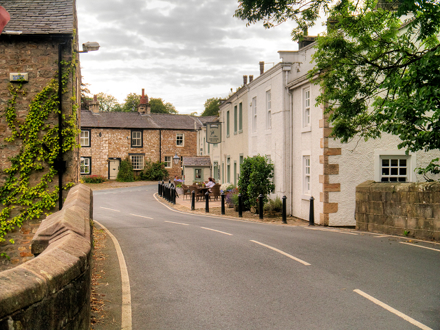
///myths.slot.feathers. Near Waddington, Lancashire
Nearby Locations
Related Wikis

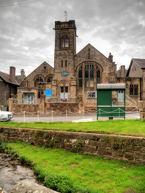
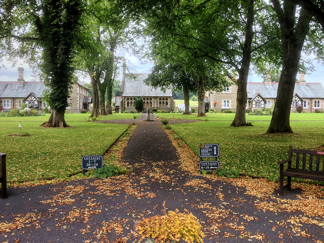
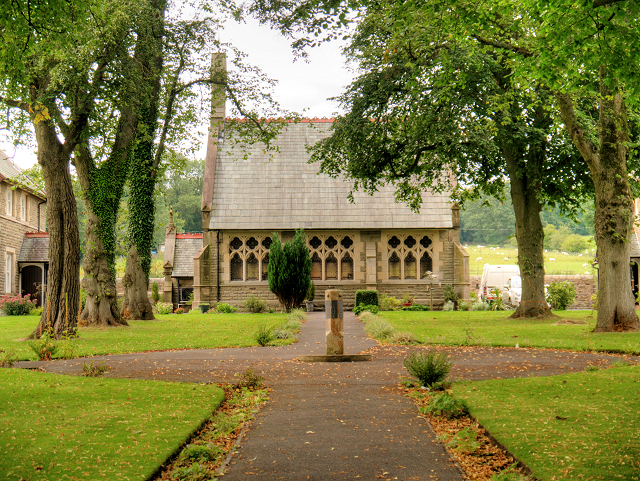
St Helen's Church, Waddington
St Helen's Church is in the village of Waddington, Lancashire, England. It is an active Anglican parish church in the deanery of Whalley, the archdeaconry...

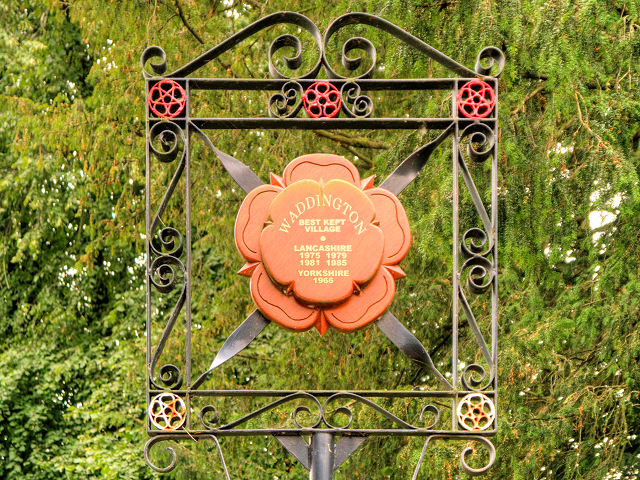
Waddington, Lancashire
Waddington is a small village, 2 miles (3 km) north-west of Clitheroe in the Ribble Valley, Lancashire, England. The population of the civil parish at...

Eaves Hall
Eaves Hall was built in 1864 for John Burton (1809–1879), first son of James Burton and a wealthy cotton mill-owner.Sold by the Burtons in 1938, having...

Waddow Hall
Waddow Hall is a 17th-century Grade II listed building within a 178-acre (72 ha) estate that serves as a conference and activity centre for Girlguiding...

West Bradford, Lancashire
West Bradford is a village and civil parish in Lancashire, England, 2.5 miles (4 km) north of Clitheroe. The population at the 2011 census was 788. It...

Bashall Eaves
Bashall Eaves is a village and civil parish in the Ribble Valley district of Lancashire, England, about four miles (6 km) west of Clitheroe. The placename...

Moorland School
Moorland School is a selective independent day and boarding school situated in the Ribble Valley, Clitheroe in North West England. The original building...

Bashall Brook
Bashall Brook is a minor river in Lancashire, England. It is 7.09 miles (11.41 km) long and has a catchment area of 6.86 square miles (1,777.68 ha).The...
Nearby Amenities
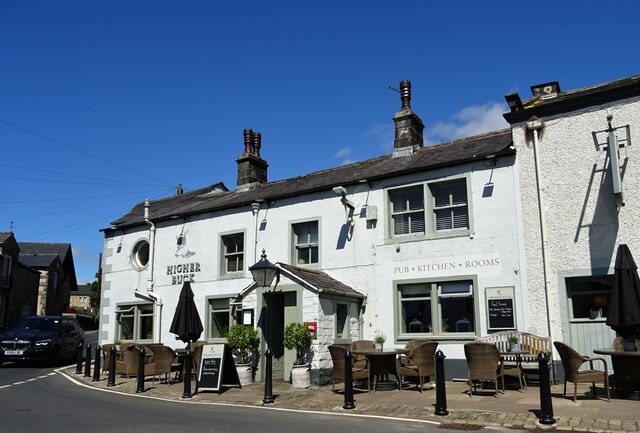
Located within 500m of 53.895329,-2.4267265Have you been to Hollins Wood?
Leave your review of Hollins Wood below (or comments, questions and feedback).