Hollins Clough
Valley in Yorkshire Ribble Valley
England
Hollins Clough
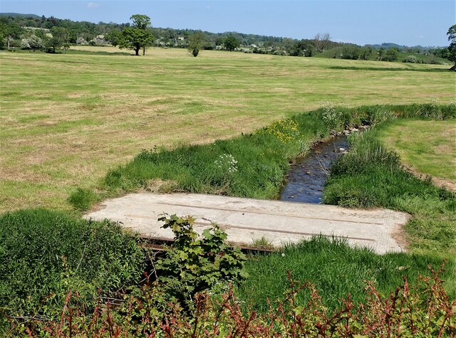
Hollins Clough is a picturesque valley located in the county of Yorkshire, England. Nestled amidst the rolling hills of the Peak District National Park, it offers visitors a stunning natural landscape to explore.
The valley is characterized by its lush greenery, with dense woodlands and meandering streams flowing through it. It is home to a diverse range of flora and fauna, making it a haven for nature enthusiasts. Visitors can expect to encounter various species of birds, small mammals, and perhaps even the occasional deer or fox.
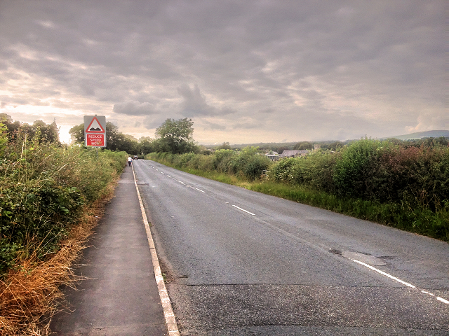
The valley is crisscrossed by numerous footpaths, allowing visitors to embark on scenic hikes and leisurely walks. One of the most popular routes is the Hollins Clough Circular Walk, which takes visitors on a journey through the valley, passing by charming villages and offering breathtaking views of the surrounding countryside.
For those interested in history, Hollins Clough also boasts a rich heritage. The valley was once a hub of industrial activity during the Victorian era, with several mills operating along its banks. Today, remnants of these mills can still be seen, adding a touch of historical charm to the area.
Hollins Clough is a tranquil and idyllic destination that offers a peaceful retreat from the hustle and bustle of everyday life. Whether it's immersing oneself in the beauty of nature, taking a leisurely stroll, or delving into the valley's past, visitors are sure to find something to captivate their senses in this captivating Yorkshire valley.
If you have any feedback on the listing, please let us know in the comments section below.
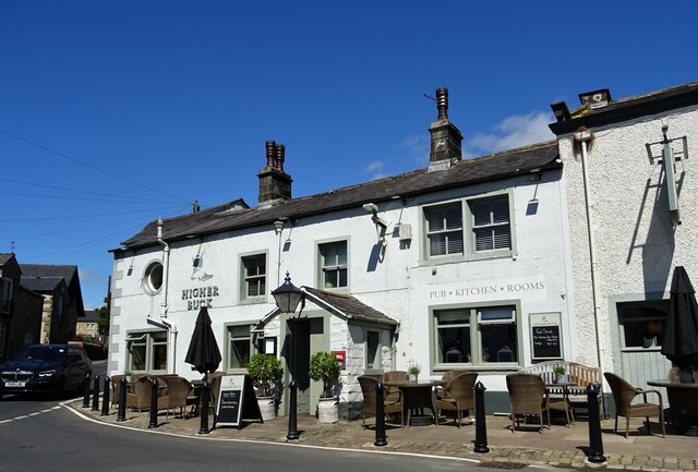
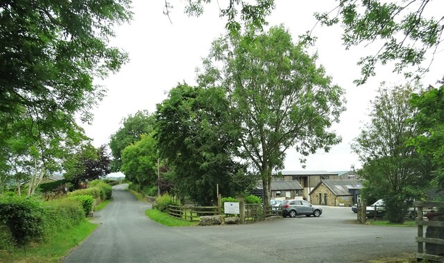
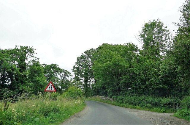
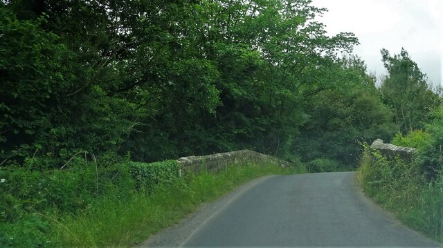
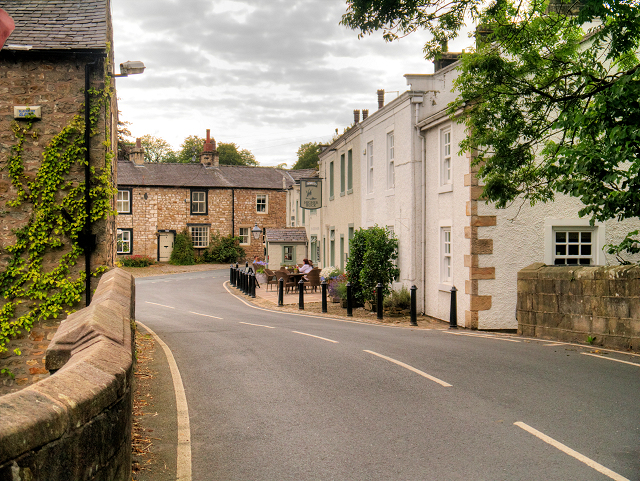
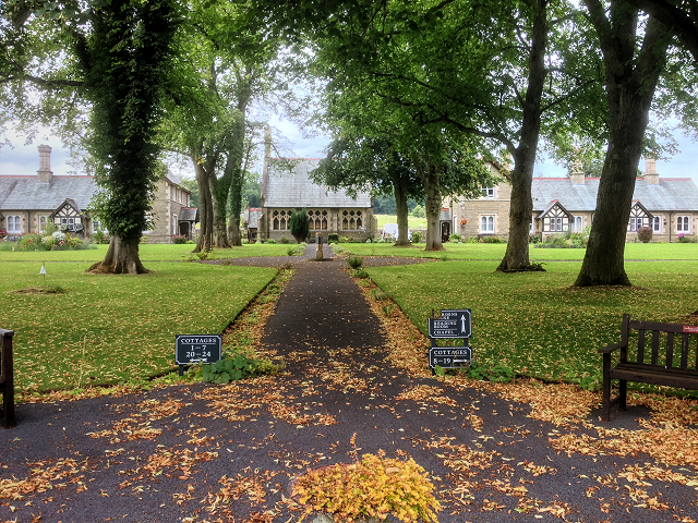
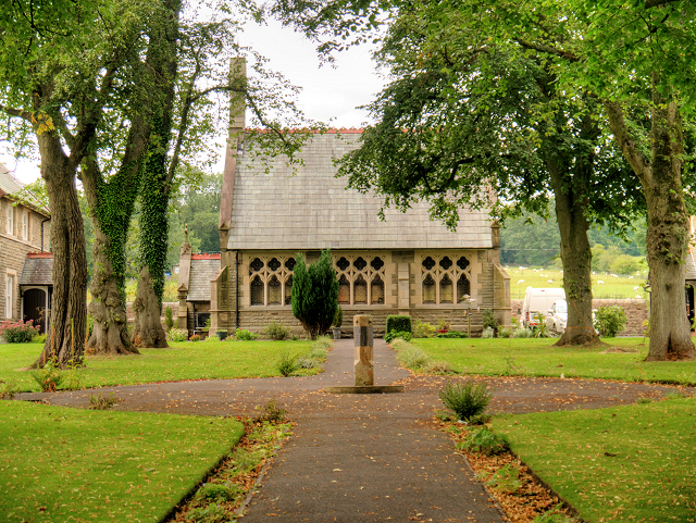
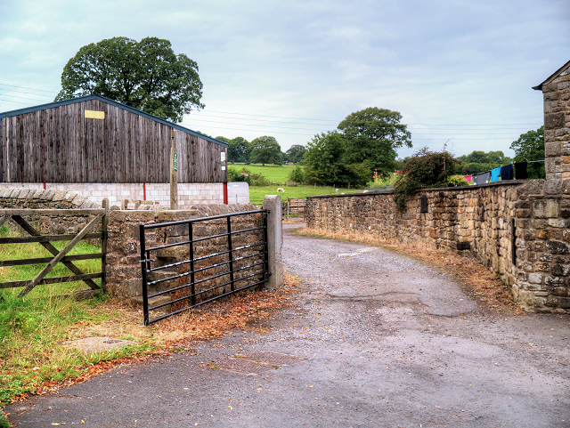
Hollins Clough Images
Images are sourced within 2km of 53.893085/-2.4259733 or Grid Reference SD7244. Thanks to Geograph Open Source API. All images are credited.


Hollins Clough is located at Grid Ref: SD7244 (Lat: 53.893085, Lng: -2.4259733)
Division: West Riding
Administrative County: Lancashire
District: Ribble Valley
Police Authority: Lancashire
What 3 Words
///objecting.member.waged. Near Waddington, Lancashire
Nearby Locations
Related Wikis

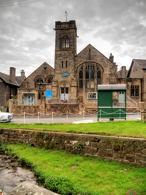
St Helen's Church, Waddington
St Helen's Church is in the village of Waddington, Lancashire, England. It is an active Anglican parish church in the deanery of Whalley, the archdeaconry...

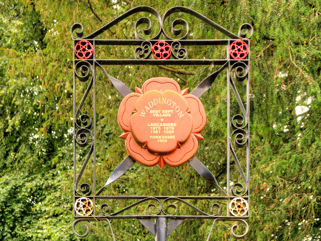
Waddington, Lancashire
Waddington is a small village, 2 miles (3 km) north-west of Clitheroe in the Ribble Valley, Lancashire, England. The population of the civil parish at...

Eaves Hall
Eaves Hall was built in 1864 for John Burton (1809–1879), first son of James Burton and a wealthy cotton mill-owner.Sold by the Burtons in 1938, having...

Waddow Hall
Waddow Hall is a 17th-century Grade II listed building within a 178-acre (72 ha) estate that serves as a conference and activity centre for Girlguiding...

West Bradford, Lancashire
West Bradford is a village and civil parish in Lancashire, England, 2.5 miles (4 km) north of Clitheroe. The population at the 2011 census was 788. It...

Moorland School
Moorland School is a selective independent day and boarding school situated in the Ribble Valley, Clitheroe in North West England. The original building...

Bashall Eaves
Bashall Eaves is a village and civil parish in the Ribble Valley district of Lancashire, England, about four miles (6 km) west of Clitheroe. The placename...

Bashall Brook
Bashall Brook is a minor river in Lancashire, England. It is 7.09 miles (11.41 km) long and has a catchment area of 6.86 square miles (1,777.68 ha).The...
Nearby Amenities
Located within 500m of 53.893085,-2.4259733Have you been to Hollins Clough?
Leave your review of Hollins Clough below (or comments, questions and feedback).