Ovens Bottom
Valley in Shropshire
England
Ovens Bottom
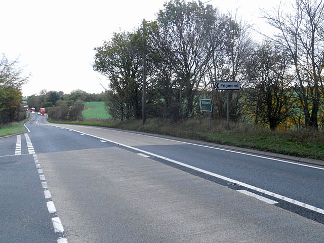
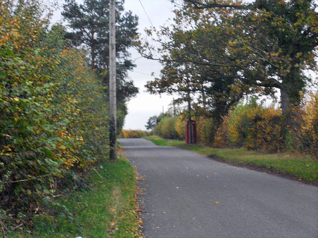
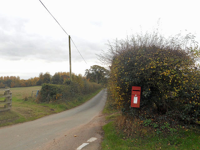
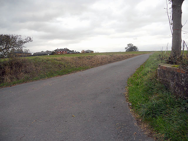
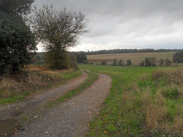
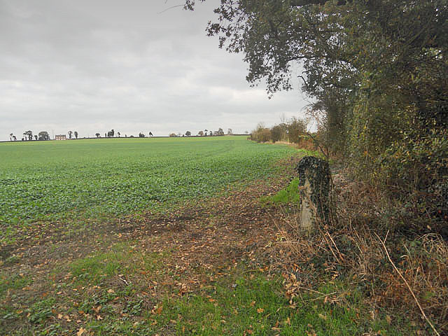
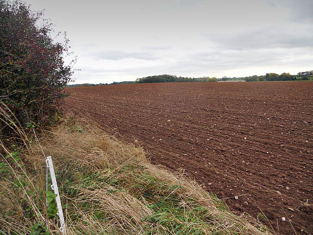
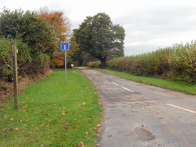
Ovens Bottom is a picturesque valley located in Shropshire, England. Situated near the village of Clun, this area is known for its stunning natural beauty and tranquil surroundings. The valley is surrounded by rolling hills and lush greenery, creating a peaceful and serene atmosphere for visitors to enjoy.
Ovens Bottom is home to a variety of wildlife, including birds, deer, and other small mammals. The valley is a popular spot for nature enthusiasts and bird watchers, who come to observe the diverse range of species that call this area home.
The valley is also a popular destination for hikers and outdoor enthusiasts, with a number of walking trails and paths that wind through the scenic landscape. Visitors can take in panoramic views of the surrounding countryside and enjoy the fresh air and peaceful ambiance of this idyllic valley.
Overall, Ovens Bottom is a hidden gem in Shropshire, offering visitors a chance to escape the hustle and bustle of everyday life and immerse themselves in the beauty of nature. Whether you are looking for a peaceful retreat or a place to explore the great outdoors, Ovens Bottom has something to offer for everyone.
If you have any feedback on the listing, please let us know in the comments section below.
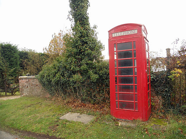
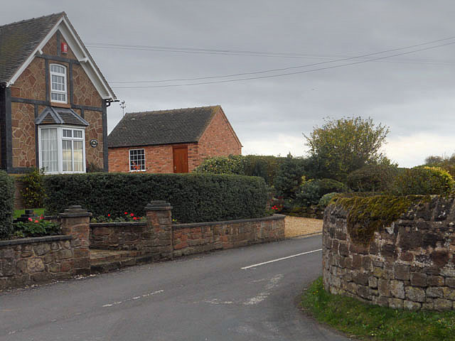
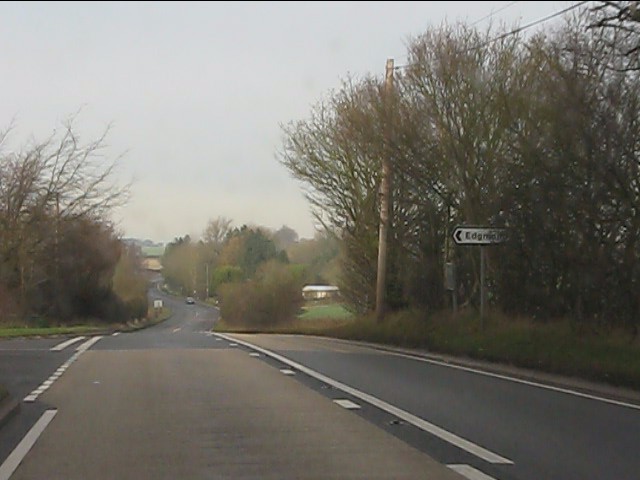
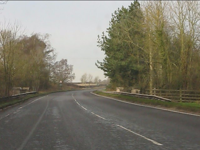
Ovens Bottom Images
Images are sourced within 2km of 52.818713/-2.415387 or Grid Reference SJ7224. Thanks to Geograph Open Source API. All images are credited.


Ovens Bottom is located at Grid Ref: SJ7224 (Lat: 52.818713, Lng: -2.415387)
Unitary Authority: Telford and Wrekin
Police Authority: West Mercia
What 3 Words
///acoustics.snapper.crucially. Near Chetwynd, Shropshire
Nearby Locations
Related Wikis

Sambrook, Shropshire
Sambrook is a small village in the ceremonial county of Shropshire, where it is part of the civil parish of Chetwynd, north of the town of Newport. To...

RAF Chetwynd
Royal Air Force Chetwynd or more simply RAF Chetwynd is a former Royal Air Force satellite station located in Chetwynd, Shropshire, England. The following...

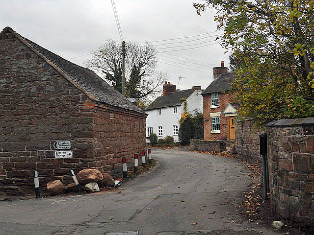
Ellerton, Shropshire
Ellerton is a small hamlet in Shropshire, England. It lies in a rather isolated rural area several miles north of the town of Newport, close to the village...

Pickstock
Pickstock is a hamlet in the civil parish of Chetwynd, in the Telford and Wrekin district, in the ceremonial county of Shropshire, England. It is near...
Nearby Amenities
Located within 500m of 52.818713,-2.415387Have you been to Ovens Bottom?
Leave your review of Ovens Bottom below (or comments, questions and feedback).