Greenhall Coppice
Wood, Forest in Shropshire
England
Greenhall Coppice
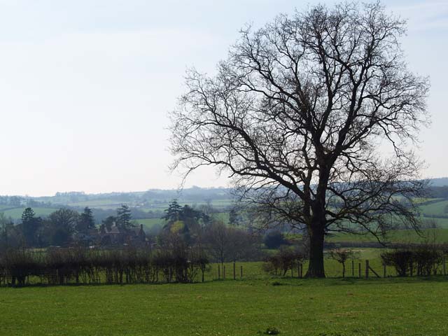
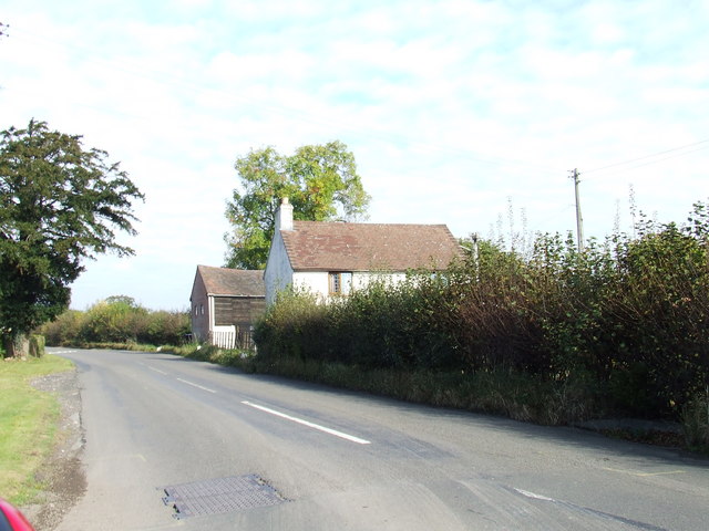
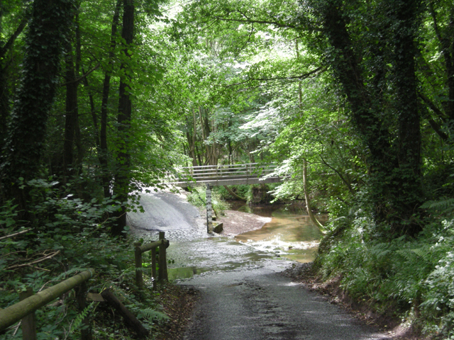
Greenhall Coppice is a picturesque woodland located in the county of Shropshire, England. Covering an area of approximately 50 acres, it is a designated Site of Special Scientific Interest (SSSI) due to its rich biodiversity and unique ecosystem.
The woodland is predominantly composed of native broadleaf trees, such as oak, beech, and ash, which create a dense canopy overhead, allowing only dappled sunlight to filter through to the forest floor. This creates a cool and tranquil atmosphere, perfect for leisurely walks and nature enthusiasts.
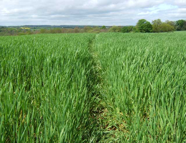
Greenhall Coppice is home to a diverse range of flora and fauna. The forest floor is carpeted with an array of wildflowers, including bluebells, wood anemones, and primroses, which burst into vibrant colors during the spring months. The woodland also supports a variety of ferns, mosses, and lichens, adding to its enchanting charm.
The rich biodiversity of Greenhall Coppice extends to its wildlife inhabitants. Visitors may catch a glimpse of elusive species such as red deer, badgers, and foxes, as well as a wide range of bird species including woodpeckers, owls, and warblers. The presence of numerous bird boxes and feeding stations within the woodland has made it a popular spot for birdwatchers.
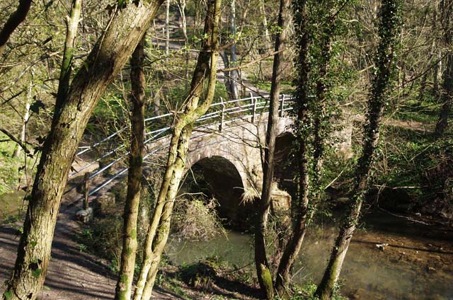
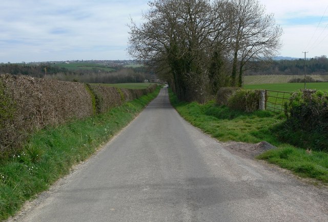
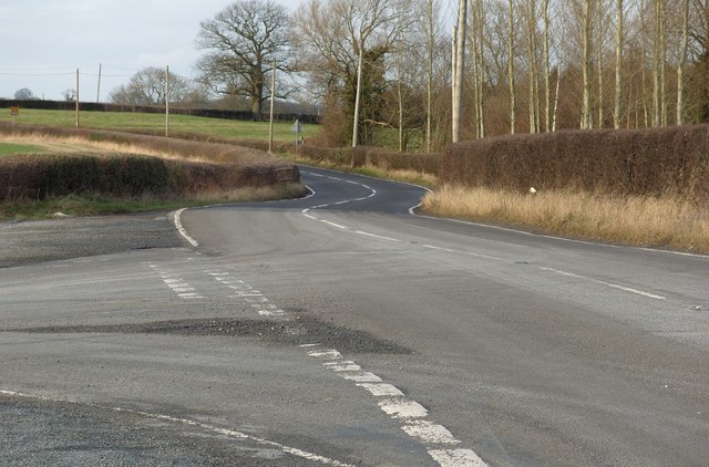
For those seeking outdoor activities, Greenhall Coppice offers several walking trails that wind through the woodland, allowing visitors to explore its natural beauty at their own pace. The forest also has designated picnic areas and benches, providing a peaceful setting for relaxation and enjoying the tranquility of nature.
Overall, Greenhall Coppice is a haven of natural beauty, offering visitors a chance to immerse themselves in the wonders of a Shropshire woodland.
If you have any feedback on the listing, please let us know in the comments section below.
Greenhall Coppice Images
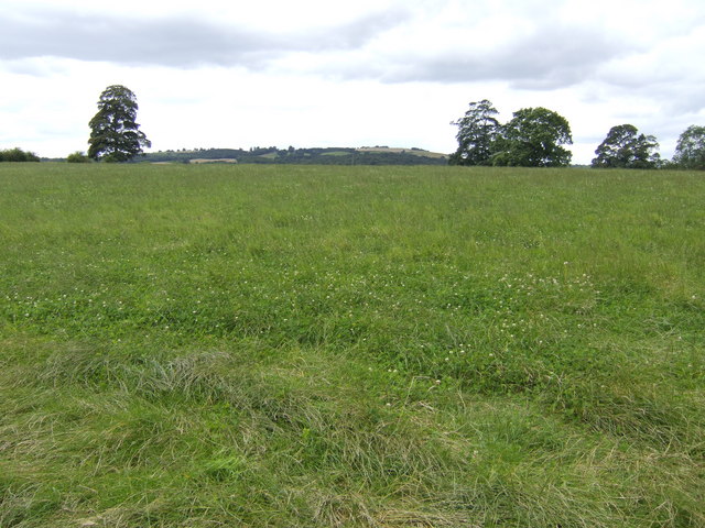
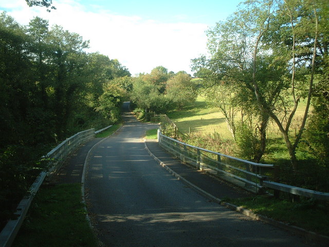
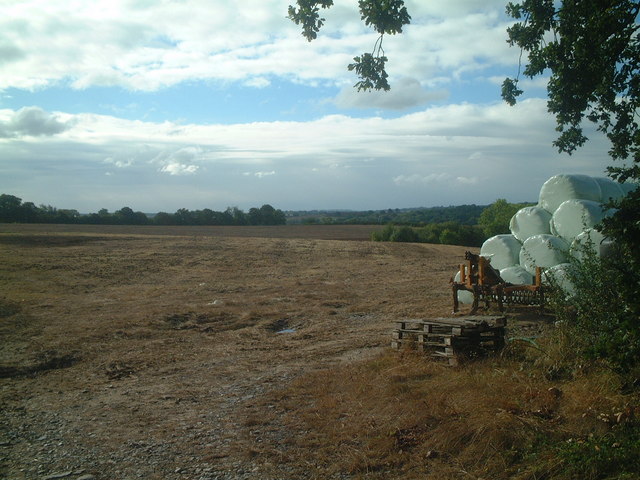
Images are sourced within 2km of 52.458217/-2.40648 or Grid Reference SO7284. Thanks to Geograph Open Source API. All images are credited.
Greenhall Coppice is located at Grid Ref: SO7284 (Lat: 52.458217, Lng: -2.40648)
Unitary Authority: Shropshire
Police Authority: West Mercia
What 3 Words
///nails.sues.attaching. Near Highley, Shropshire
Nearby Locations
Related Wikis

New England Countryside Sites
New England countryside site is an historic site in Shropshire, United Kingdom, of the former village of New England. It is located between the villages...

Billingsley, Shropshire
Billingsley is a small village and civil parish in Shropshire, England. It is located 6 miles (9.7 km) south of Bridgnorth and lies in the diocese of Hereford...
Highley
Highley is a large village in Shropshire, England, on the west bank of the River Severn and 7 miles south east of Bridgnorth, the closest cities being...
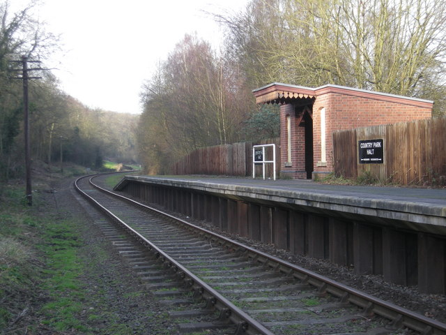
Country Park Halt railway station
Country Park Halt is an unstaffed request stop on the Severn Valley Railway heritage line in Shropshire, situated near the west bank of the River Severn...
Have you been to Greenhall Coppice?
Leave your review of Greenhall Coppice below (or comments, questions and feedback).