Stroud Withybed
Wood, Forest in Dorset
England
Stroud Withybed
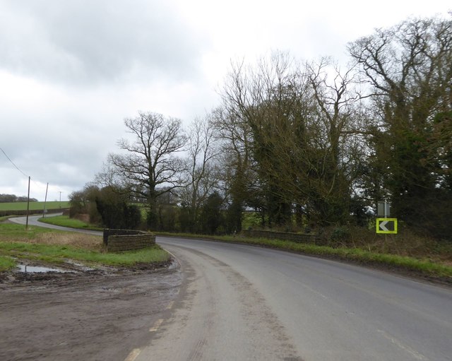
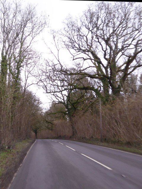
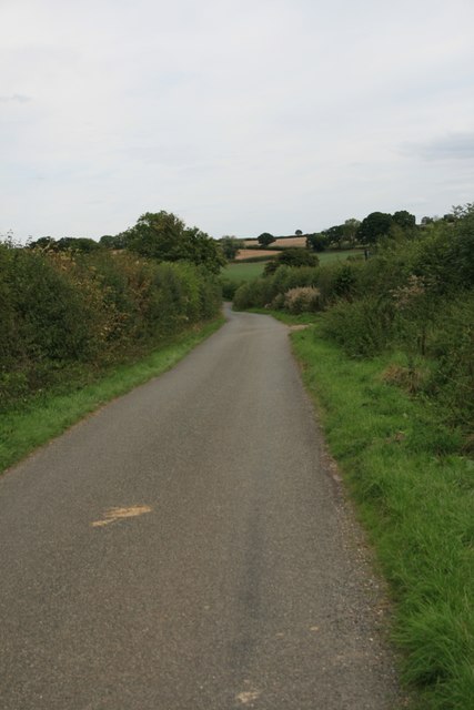
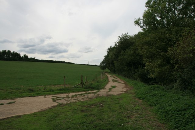
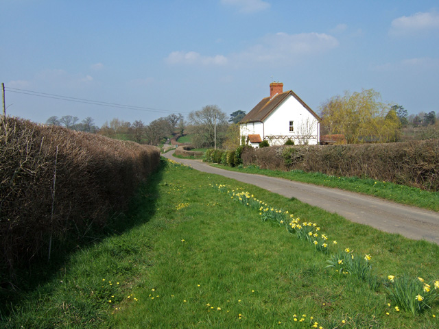
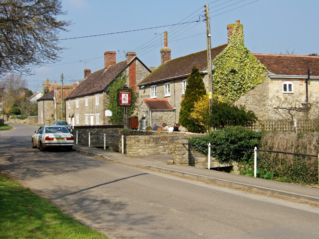
Stroud Withybed is a small village located in the county of Dorset, England. Situated in the heart of the countryside, it is known for its picturesque woodlands and enchanting forest. The village is surrounded by lush greenery, creating a peaceful and serene atmosphere for residents and visitors alike.
The woodlands of Stroud Withybed are rich in biodiversity, housing a wide variety of plant and animal species. As you explore the forest, you will come across ancient oak trees, towering pines, and vibrant wildflowers. The air is filled with the sweet scent of nature, and the sounds of chirping birds and rustling leaves provide a soothing soundtrack.
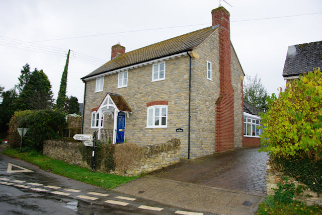
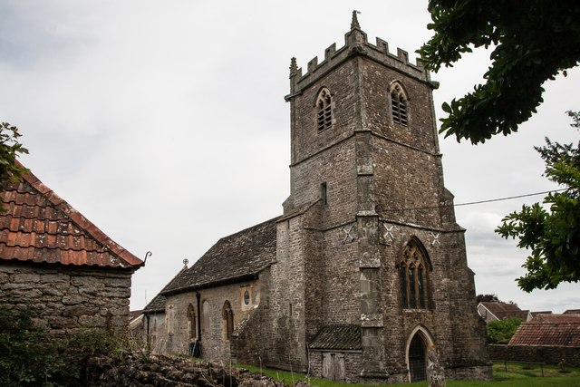
The village itself is small and charming, with traditional stone cottages and a quaint village green. It exudes a sense of tranquility and simplicity, allowing you to escape the hustle and bustle of city life. The locals are friendly and welcoming, always happy to share stories and recommendations about the area.
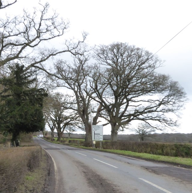
Outdoor enthusiasts will find plenty to do in Stroud Withybed. The forest offers numerous walking and hiking trails, allowing you to explore its beauty at your own pace. Wildlife enthusiasts can spot various bird species, deer, and even the occasional fox or badger. Additionally, the local river provides opportunities for fishing and boating.
In summary, Stroud Withybed in Dorset is a peaceful village nestled in a beautiful woodland and forest. Its natural beauty and tranquil ambiance make it a perfect destination for those seeking a peaceful retreat in the heart of nature.
If you have any feedback on the listing, please let us know in the comments section below.
Stroud Withybed Images
Images are sourced within 2km of 50.921053/-2.39269 or Grid Reference ST7213. Thanks to Geograph Open Source API. All images are credited.


Stroud Withybed is located at Grid Ref: ST7213 (Lat: 50.921053, Lng: -2.39269)
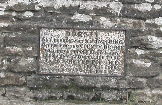
Unitary Authority: Dorset
Police Authority: Dorset
What 3 Words
///lamenting.triangle.putty. Near Stalbridge, Dorset
Nearby Locations
Related Wikis
Stourton Caundle
Stourton Caundle is a village and civil parish in the county of Dorset in southwest England. It lies within the Blackmore Vale, about five miles (eight...

Lydlinch
Lydlinch is a village and civil parish in the Blackmore Vale in north Dorset, England, about three miles (five kilometres) west of Sturminster Newton....

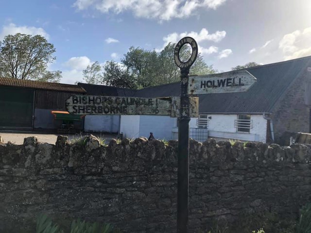
Woodbridge, Dorset
Woodbridge is a hamlet in Dorset, England. The village is on the A3030 road and to the north east of Holwell. == History == Woodbridge was part of the...

Caundle Brook
Caundle Brook is a 13.4 miles (21.6 km) tributary of the River Lydden that flows through Blackmore Vale in Dorset, England.Its headwaters rise at the foot...

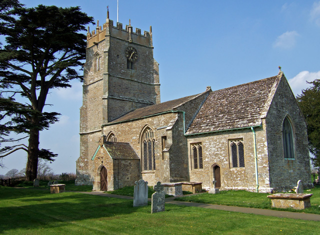
King's Stag Memorial Chapel
King's Stag Memorial Chapel is a Church of England chapel in King's Stag, Dorset, England. == History == The memorial chapel at King's Stag was built in...
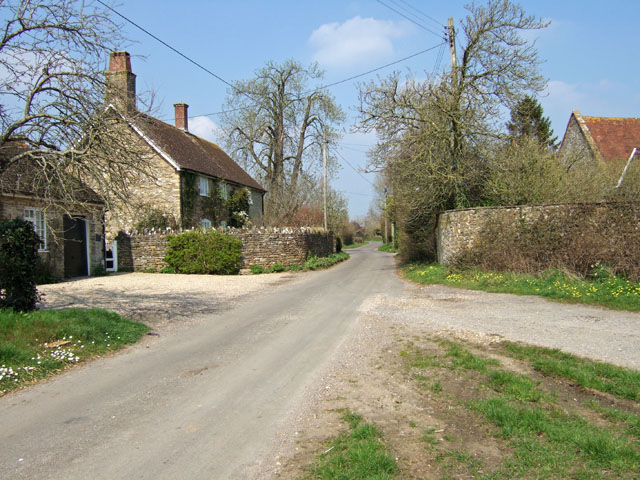
Bagber
Bagber is a hamlet in the county of Dorset in southern England, situated about 2 miles (3.2 km) west and northwest of Sturminster Newton in the Dorset...

Bishop's Caundle
Bishop's Caundle is a village and civil parish in Dorset, South West England. It is situated 6 miles (9.7 km) south-east of Sherborne. The local travel...

Holwell, Dorset
Holwell is a village and civil parish in the county of Dorset in southern England, situated approximately 5 miles (8.0 km) south-east of Sherborne. It...
Have you been to Stroud Withybed?
Leave your review of Stroud Withybed below (or comments, questions and feedback).