Stock Wood

Wood, Forest in Dorset

England

Stock Wood

House Fourways at junction at south end of village
House Fourways at junction at south end of village Credit: John Firth

Stock Wood is a charming forest located in the county of Dorset, England. Stretching over an area of approximately 100 acres, this woodland is known for its natural beauty and diverse wildlife. It is situated near the village of Stock, which is about 5 miles southeast of the town of Wimborne Minster.

The wood is predominantly made up of broad-leaved trees, including oak, beech, and ash, which create a dense canopy overhead, providing shade and shelter to the forest floor. The woodland is crisscrossed with a network of well-maintained footpaths, allowing visitors to explore its tranquil surroundings and discover its hidden treasures.

Stock Wood is home to a variety of wildlife, making it an ideal spot for nature enthusiasts. The forest is inhabited by deer, badgers, foxes, and numerous bird species, such as woodpeckers, owls, and warblers. The diverse flora and fauna found here add to the overall appeal of the woodland.

Visitors to Stock Wood can enjoy a range of activities, including walking, picnicking, and birdwatching. The peaceful atmosphere and stunning scenery make it an excellent place to escape the hustle and bustle of daily life. The wood also provides an educational experience, with educational boards dotted throughout the forest, offering information about the local wildlife and vegetation.

Overall, Stock Wood in Dorset is a natural haven that offers a serene and picturesque setting for those seeking a peaceful retreat in the midst of nature.

If you have any feedback on the listing, please let us know in the comments section below.
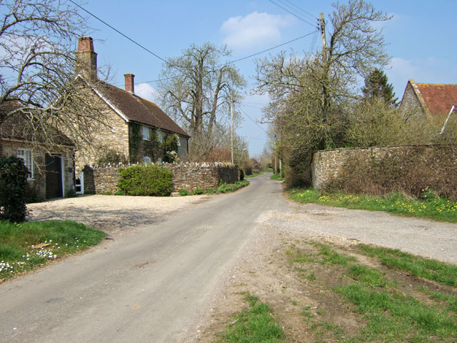
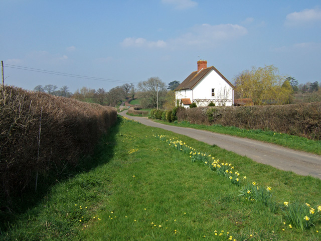
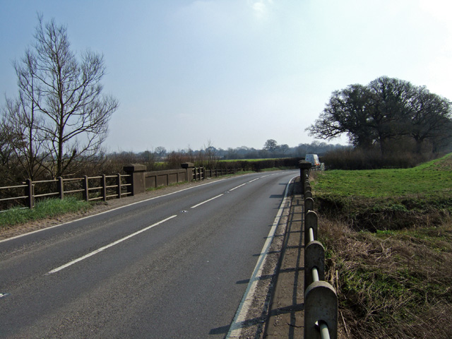
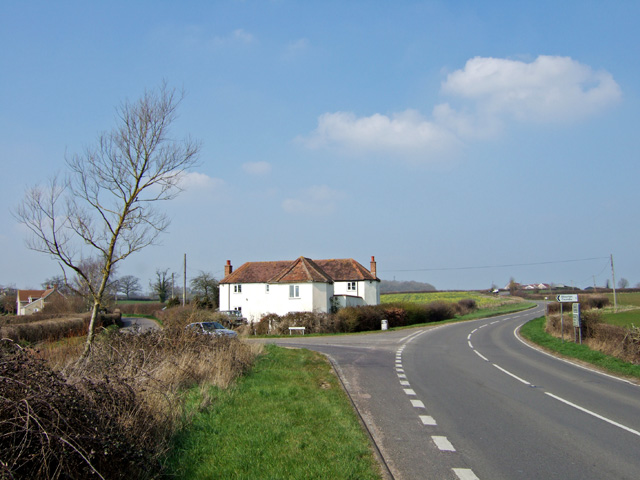
Stock Wood Images

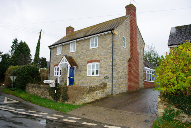
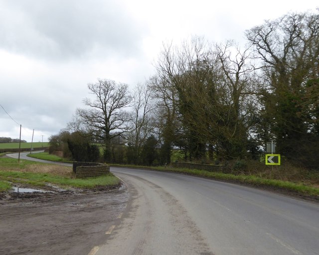
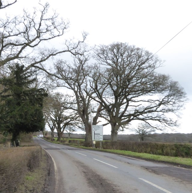
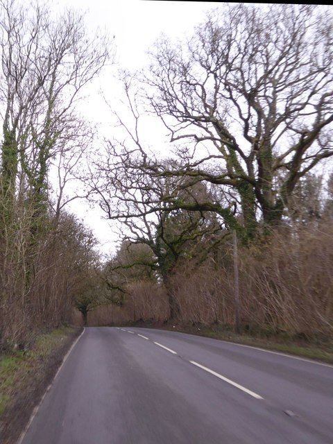
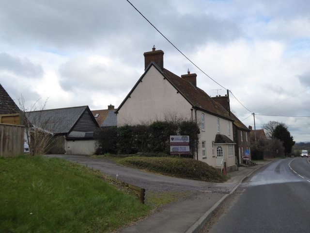
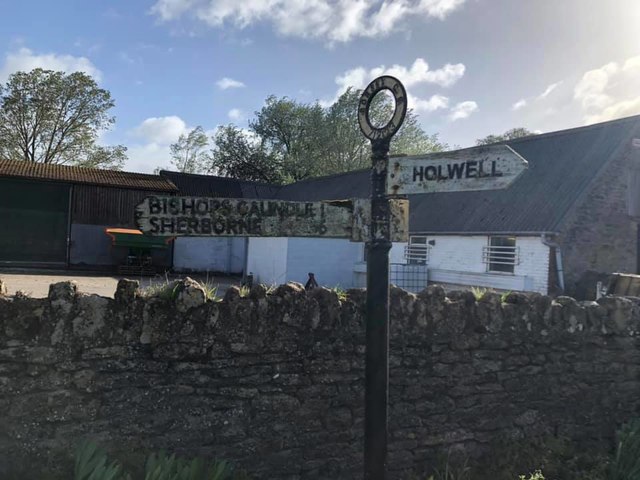
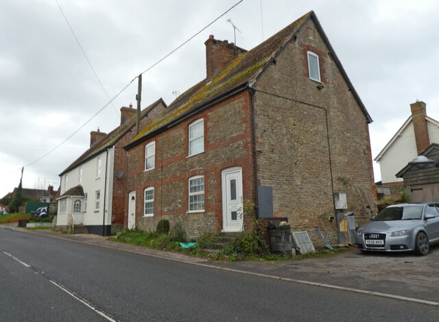
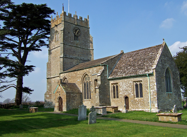
Images are sourced within 2km of 50.918572/-2.3868934 or Grid Reference ST7213. Thanks to Geograph Open Source API. All images are credited.

House Fourways at junction at south end of village
Lower Wood Bridge, east of Bishop's Caundle
Bare trees by the A3030 near Blackrow Lane The sign indicates the turn for Blackrow Lane, leading to King's Stag
Bare trees by the A3030 near Blackrow Lane
The sign indicates the turn for Blackrow Lane, leading to King's Stag
A3030 in Stock Wood, near Lydlinch
Houses in Lydlinch
Houses in Lydlinch
Direction Sign – Signpost Located on the north side of the A3030 beside the entrance to Woodbridge Farm, opposite Peaceful Lane in Holwell parish. 3 arms, 1 missing, and annulus finial. See also <a title="https://www.geograph.org.uk/photo/458327" href="https://www.geograph.org.uk/photo/458327">Link</a>.

Milestone Society National ID: DO_ST7112
Direction Sign – Signpost
Located on the north side of the A3030 beside the entrance to Woodbridge Farm, opposite Peaceful Lane in Holwell parish. 3 arms, 1 missing, and annulus finial. See also Link. Milestone Society National ID: DO_ST7112
Old Boundary Marker on Waterloo Lane near Warr Bridge Parish Boundary Marker on the west side of the junction of Waterloo Lane and the A357 Cook's Lane north of Warr Bridge, opposite toll house DO.STA. On the border of Stourton Caundle and Stalbridge parishes.

Milestone Society National ID: DO_STCAST01pb
Old Boundary Marker on Waterloo Lane near Warr Bridge
Parish Boundary Marker on the west side of the junction of Waterloo Lane and the A357 Cook's Lane north of Warr Bridge, opposite toll house DO.STA. On the border of Stourton Caundle and Stalbridge parishes. Milestone Society National ID: DO_STCAST01pb
Three Boars Cottages, Lydlinch
St Thomas a Becket Church Lydlinch The church was completed in 1479 but with an earlier 13th century tower, restored in Tudor times.
St Thomas a Becket Church Lydlinch
The church was completed in 1479 but with an earlier 13th century tower, restored in Tudor times.
Lydlinch
Lydlinch
Cottage at Cox's Water This solitary cottage and the bridge over the River Lydden in the far distance beyond, are the only features which mark this spot just south of Lydlinch.
Cottage at Cox's Water
This solitary cottage and the bridge over the River Lydden in the far distance beyond, are the only features which mark this spot just south of Lydlinch.
Warr Bridge View is of the road bridge crossing of the Caundle Brook, looking south along the A357 towards its junction with the A3030.
Warr Bridge
View is of the road bridge crossing of the Caundle Brook, looking south along the A357 towards its junction with the A3030.
House near Warr Bridge I hesitate to describe this substantial property as a former Toll House, as it seems far too large, yet its architectural style suggests that it might have been at one time. The view is towards the north on the main A357 to Shepton Mallet, at its junction with the minor road to Stourton Caundle.
House near Warr Bridge
I hesitate to describe this substantial property as a former Toll House, as it seems far too large, yet its architectural style suggests that it might have been at one time. The view is towards the north on the main A357 to Shepton Mallet, at its junction with the minor road to Stourton Caundle.
Woodbridge on the Sherborne Road Road bridge on the A3030 towards Sherborne, crossing the Caundle Brook.
Woodbridge on the Sherborne Road
Road bridge on the A3030 towards Sherborne, crossing the Caundle Brook.
Woodbridge Farm - Woodbridge The farmhouse is Grade II listed, and consists of two parts. The rear wing is probably early C18, and the front late C18 or early C19.
Woodbridge Farm - Woodbridge
The farmhouse is Grade II listed, and consists of two parts. The rear wing is probably early C18, and the front late C18 or early C19.
Stock Gaylard: parish church of St. Barnabas
A peaceful sign Signpost to Peaceful Lane, near Bishop's Caundle – the sign has since been moved back from the road and the flowers are gone.
A peaceful sign
Signpost to Peaceful Lane, near Bishop's Caundle – the sign has since been moved back from the road and the flowers are gone.
Lydlinch: parish church of St. Thomas à Becket A 15th-century church
Lydlinch: parish church of St. Thomas à Becket
A 15th-century church
Show me another place!

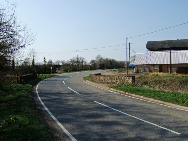
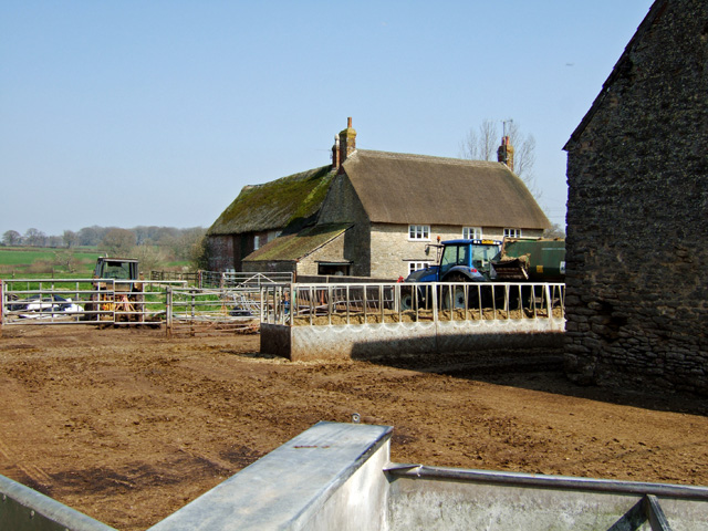
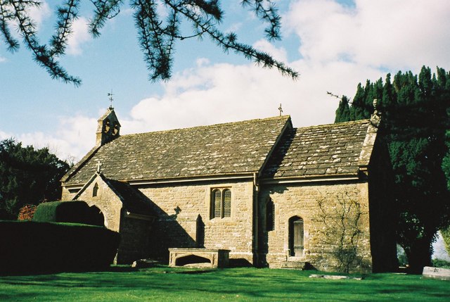
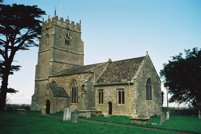
Stock Wood is located at Grid Ref: ST7213 (Lat: 50.918572, Lng: -2.3868934)

Unitary Authority: Dorset

Police Authority: Dorset

What 3 Words

///presides.regrowth.contact. Near Stalbridge, Dorset

Related Wikis

Lydlinch

Lydlinch is a village and civil parish in the Blackmore Vale in north Dorset, England, about three miles (five kilometres) west of Sturminster Newton....

Woodbridge, Dorset

Woodbridge is a hamlet in Dorset, England. The village is on the A3030 road and to the north east of Holwell. == History == Woodbridge was part of the...

Caundle Brook

Caundle Brook is a 13.4 miles (21.6 km) tributary of the River Lydden that flows through Blackmore Vale in Dorset, England.Its headwaters rise at the foot...

King's Stag Memorial Chapel

King's Stag Memorial Chapel is a Church of England chapel in King's Stag, Dorset, England. == History == The memorial chapel at King's Stag was built in...

Nearby Amenities

Located within 500m of 50.918572,-2.3868934
The data included in this document is from www.openstreetmap.org. The data is made available under ODbL.

Have you been to Stock Wood?

Leave your review of Stock Wood below (or comments, questions and feedback).