Shelves Plantation

Wood, Forest in Dorset

England

Shelves Plantation

House Fourways at junction at south end of village
House Fourways at junction at south end of village Credit: John Firth

Shelves Plantation is a picturesque woodland located in the county of Dorset, England. This enchanting forest covers an area of approximately 100 acres and is known for its diverse range of trees and wildlife. The plantation is situated near the small village of Shelves, which adds to its charm and tranquility.

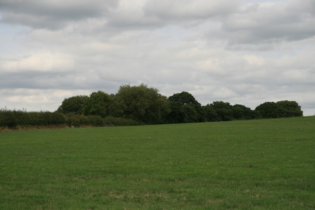
The woodland is predominantly composed of native British tree species such as oak, beech, and birch, creating a rich and vibrant ecosystem. The tall and majestic trees provide a dense canopy, allowing only dappled sunlight to filter through to the forest floor. This creates a unique and captivating atmosphere, making it a popular spot for nature enthusiasts and photographers.

Shelves Plantation is home to a variety of wildlife species, both common and rare. Visitors may have the opportunity to spot red deer, foxes, badgers, and a wide array of bird species, including woodpeckers and owls. The forest is also abundant with flora, with carpets of bluebells and other wildflowers gracing the woodland floor during the spring and summer months.

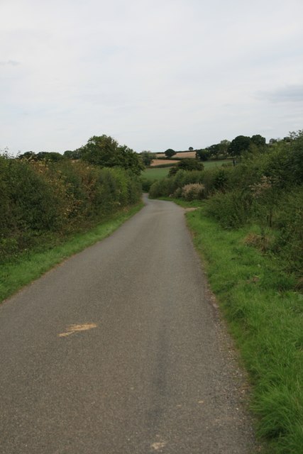
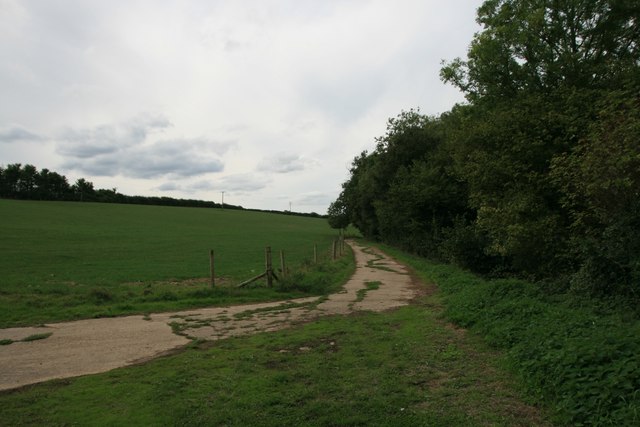
The plantation offers several well-maintained walking trails, allowing visitors to explore and immerse themselves in the natural beauty of the woodland. These trails range in difficulty and length, catering to both casual strollers and avid hikers.

Shelves Plantation is not only a haven for nature lovers but also serves as an important ecological site, contributing to the conservation of the local ecosystem. Its serene and unspoiled setting provides a much-needed escape from the hustle and bustle of modern life, making it a cherished destination for locals and tourists alike.

If you have any feedback on the listing, please let us know in the comments section below.

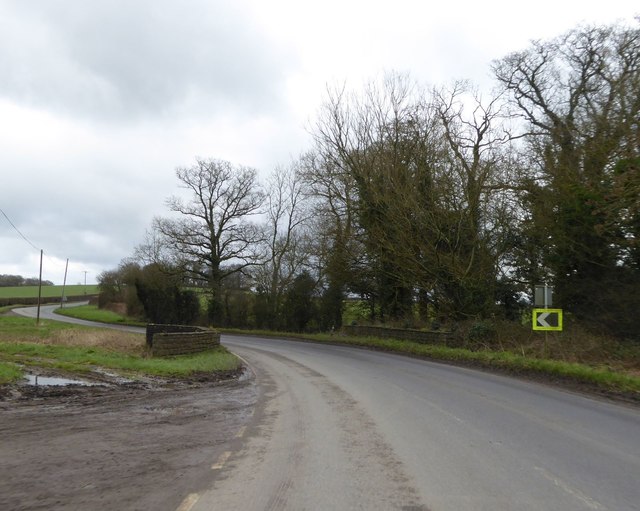
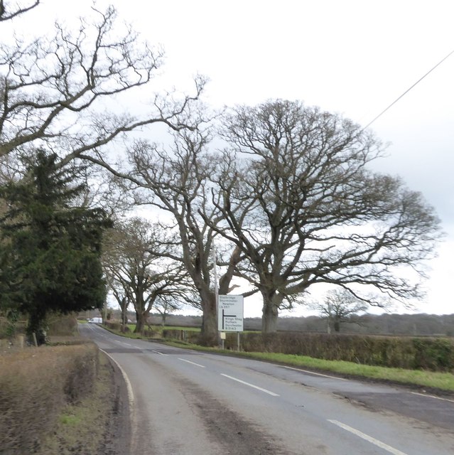
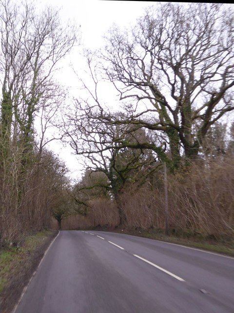
Shelves Plantation Images

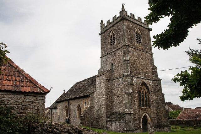
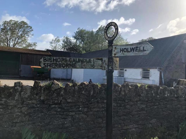
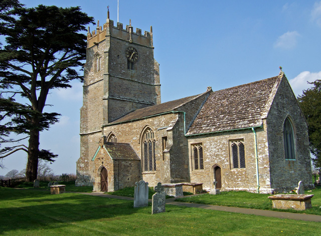
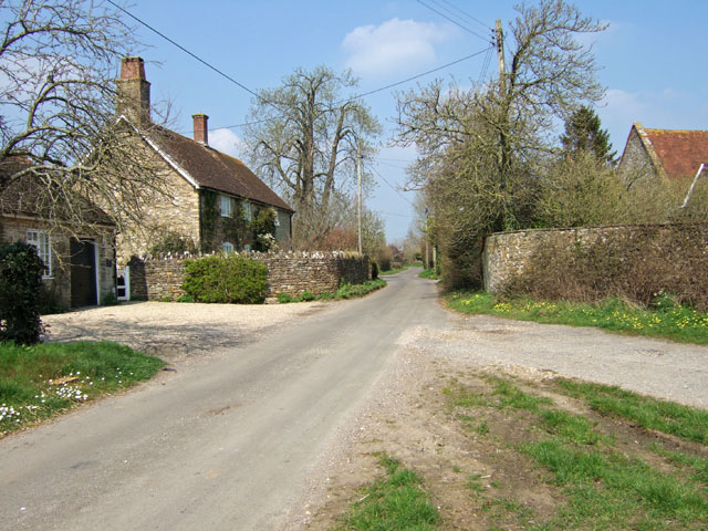
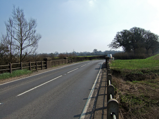
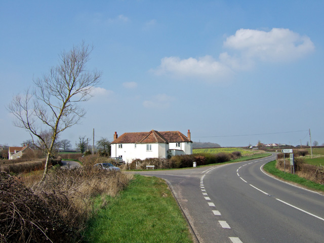
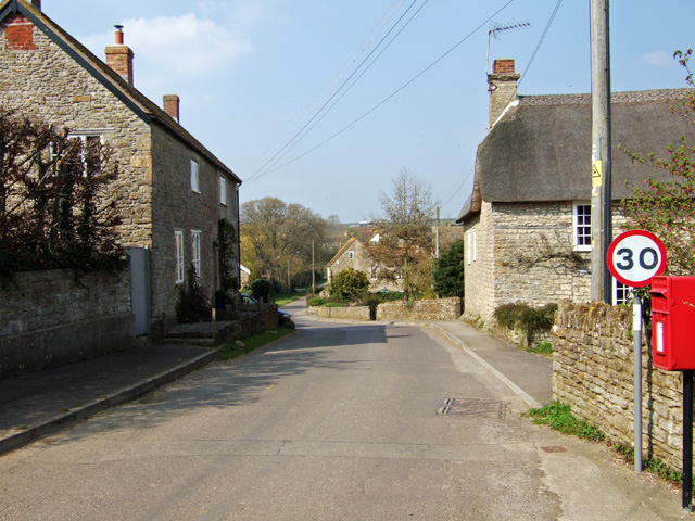
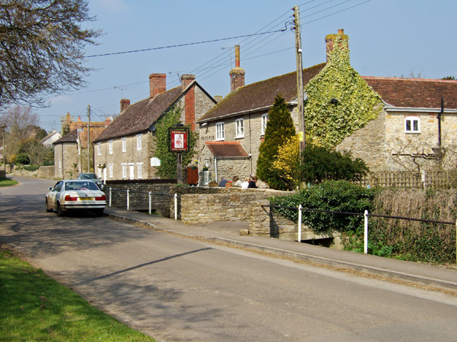
Images are sourced within 2km of 50.923117/-2.3940447 or Grid Reference ST7213. Thanks to Geograph Open Source API. All images are credited.

House Fourways at junction at south end of village
Lower Wood Bridge, east of Bishop's Caundle
Bare trees by the A3030 near Blackrow Lane The sign indicates the turn for Blackrow Lane, leading to King's Stag
Bare trees by the A3030 near Blackrow Lane
The sign indicates the turn for Blackrow Lane, leading to King's Stag
A3030 in Stock Wood, near Lydlinch
Drove Road, Stourton Caundle
Sturt Coppice
Sturt Coppice
Footpath through farmland, Stourton Caundle
Benchmark St Peter's Church, Stourton Caundle See also <a href="https://www.geograph.org.uk/photo/5891489">ST7115 : St Peter's Church, Stourton Caundle</a>.
Benchmark St Peter's Church, Stourton Caundle
St Peter's Church, Stourton Caundle There is an Ordnance Survey benchmark on this building, see <a href="https://www.geograph.org.uk/photo/5891488">ST7115 : Benchmark St Peter's Church, Stourton Caundle</a>.
St Peter's Church, Stourton Caundle
There is an Ordnance Survey benchmark on this building, see ST7115 : Benchmark St Peter's Church, Stourton Caundle.
Direction Sign – Signpost Located on the north side of the A3030 beside the entrance to Woodbridge Farm, opposite Peaceful Lane in Holwell parish. 3 arms, 1 missing, and annulus finial. See also <a title="https://www.geograph.org.uk/photo/458327" href="https://www.geograph.org.uk/photo/458327">Link</a>.

Milestone Society National ID: DO_ST7112
Direction Sign – Signpost
Located on the north side of the A3030 beside the entrance to Woodbridge Farm, opposite Peaceful Lane in Holwell parish. 3 arms, 1 missing, and annulus finial. See also Link. Milestone Society National ID: DO_ST7112
Old Boundary Marker on Waterloo Lane near Warr Bridge Parish Boundary Marker on the west side of the junction of Waterloo Lane and the A357 Cook's Lane north of Warr Bridge, opposite toll house DO.STA. On the border of Stourton Caundle and Stalbridge parishes.

Milestone Society National ID: DO_STCAST01pb
Old Boundary Marker on Waterloo Lane near Warr Bridge
Parish Boundary Marker on the west side of the junction of Waterloo Lane and the A357 Cook's Lane north of Warr Bridge, opposite toll house DO.STA. On the border of Stourton Caundle and Stalbridge parishes. Milestone Society National ID: DO_STCAST01pb
St Thomas a Becket Church Lydlinch The church was completed in 1479 but with an earlier 13th century tower, restored in Tudor times.
St Thomas a Becket Church Lydlinch
The church was completed in 1479 but with an earlier 13th century tower, restored in Tudor times.
Lydlinch
Lydlinch
Warr Bridge View is of the road bridge crossing of the Caundle Brook, looking south along the A357 towards its junction with the A3030.
Warr Bridge
View is of the road bridge crossing of the Caundle Brook, looking south along the A357 towards its junction with the A3030.
House near Warr Bridge I hesitate to describe this substantial property as a former Toll House, as it seems far too large, yet its architectural style suggests that it might have been at one time. The view is towards the north on the main A357 to Shepton Mallet, at its junction with the minor road to Stourton Caundle.
House near Warr Bridge
I hesitate to describe this substantial property as a former Toll House, as it seems far too large, yet its architectural style suggests that it might have been at one time. The view is towards the north on the main A357 to Shepton Mallet, at its junction with the minor road to Stourton Caundle.
Stourton Caundle from the South
Village Street and Pub at Stourton Caundle A fine Spring day, where drinkers at The Trooper were outside, basking in the warm afternoon sun. The pub is Grade II listed, and may have originally been a mid C19 house.
Village Street and Pub at Stourton Caundle
A fine Spring day, where drinkers at The Trooper were outside, basking in the warm afternoon sun. The pub is Grade II listed, and may have originally been a mid C19 house.
Woodbridge on the Sherborne Road Road bridge on the A3030 towards Sherborne, crossing the Caundle Brook.
Woodbridge on the Sherborne Road
Road bridge on the A3030 towards Sherborne, crossing the Caundle Brook.
Show me another place!

Shelves Plantation is located at Grid Ref: ST7213 (Lat: 50.923117, Lng: -2.3940447)

Unitary Authority: Dorset

Police Authority: Dorset

What 3 Words

///finest.projects.forgives. Near Stalbridge, Dorset

Related Wikis

Stourton Caundle

Stourton Caundle is a village and civil parish in the county of Dorset in southwest England. It lies within the Blackmore Vale, about five miles (eight...

Lydlinch

Lydlinch is a village and civil parish in the Blackmore Vale in north Dorset, England, about three miles (five kilometres) west of Sturminster Newton....

Woodbridge, Dorset

Woodbridge is a hamlet in Dorset, England. The village is on the A3030 road and to the north east of Holwell. == History == Woodbridge was part of the...

Caundle Brook

Caundle Brook is a 13.4 miles (21.6 km) tributary of the River Lydden that flows through Blackmore Vale in Dorset, England.Its headwaters rise at the foot...

Have you been to Shelves Plantation?

Leave your review of Shelves Plantation below (or comments, questions and feedback).