Bank Wood

Wood, Forest in Lancashire

England

Bank Wood

Access to Lower Aushaw Heading across rough pasture from Roman Road
Access to Lower Aushaw Credit: Chris Heaton

Bank Wood is a picturesque woodland located in Lancashire, England. Covering an area of approximately 100 acres, the wood is known for its diverse range of trees, wildlife, and natural beauty. It is situated near the village of Wood, in the Forest of Bowland Area of Outstanding Natural Beauty.

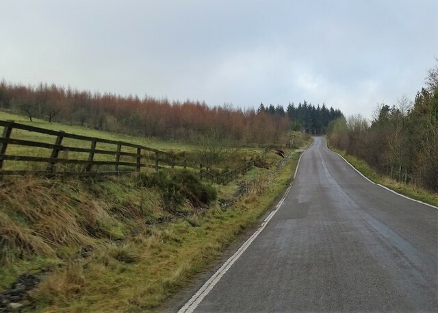
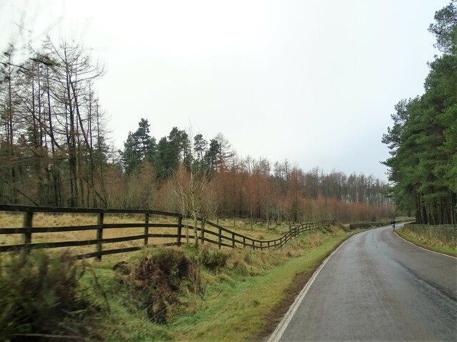
The wood is predominantly composed of deciduous trees, including oak, beech, and birch, which provide a stunning display of colors during the autumn season. The dense canopy of leaves creates a peaceful and tranquil atmosphere, making it a popular destination for nature enthusiasts and walkers.

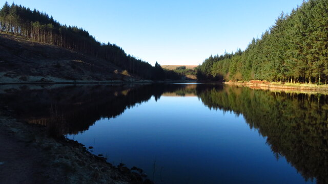
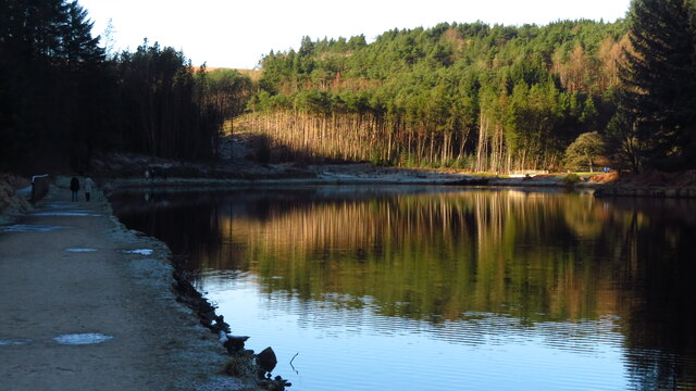
Bank Wood is home to a rich variety of flora and fauna. Bluebells carpet the forest floor in spring, creating a vibrant burst of color. The woodland also supports a wide array of bird species, including woodpeckers, owls, and thrushes. Observant visitors may also be lucky enough to spot roe deer, foxes, and badgers, which inhabit the wood.

Several well-maintained footpaths and trails wind through Bank Wood, allowing visitors to explore its enchanting beauty. These paths are suitable for walkers of all abilities, making it an ideal destination for families and nature lovers alike. In addition, there are picnic areas and benches scattered throughout the wood, providing opportunities to relax and enjoy the surroundings.

Bank Wood offers a peaceful escape from the hustle and bustle of everyday life, allowing visitors to immerse themselves in the beauty of nature. It is a place of tranquility and serenity, offering a haven for both wildlife and humans alike.

If you have any feedback on the listing, please let us know in the comments section below.
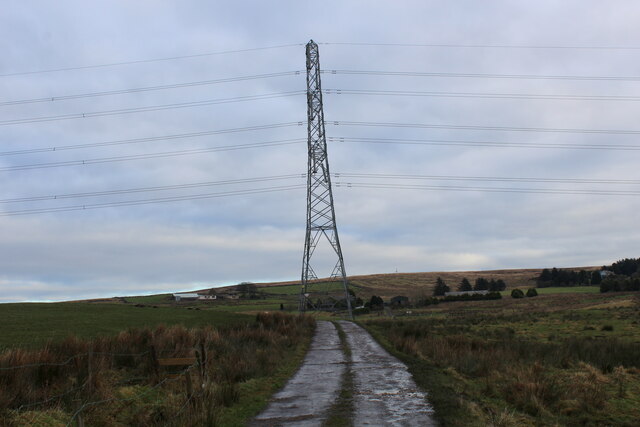
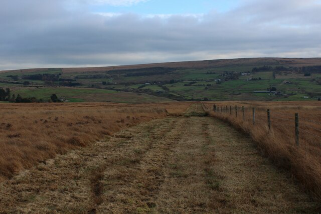
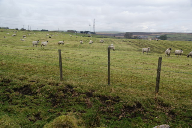
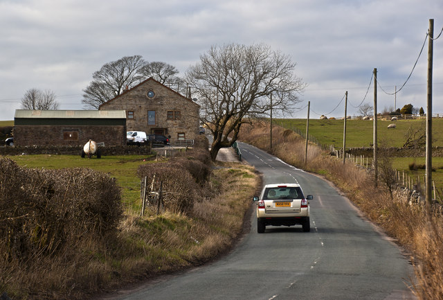
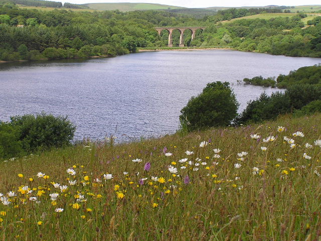
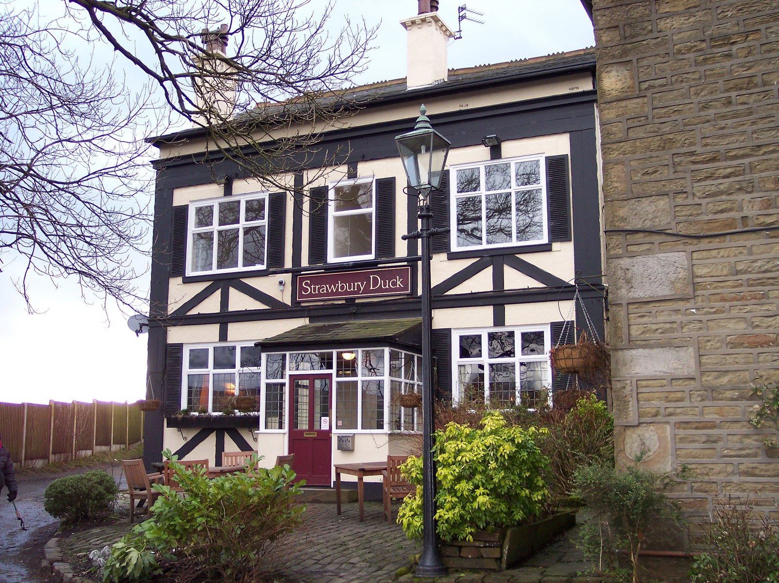
Bank Wood Images

Images are sourced within 2km of 53.662089/-2.4190841 or Grid Reference SD7218. Thanks to Geograph Open Source API. All images are credited.

Access to Lower Aushaw Heading across rough pasture from Roman Road
Access to Lower Aushaw
Heading across rough pasture from Roman Road
Horse Hey A convenient channel has been cut beside the fence, facilitating progress
Horse Hey
A convenient channel has been cut beside the fence, facilitating progress
Broken Dry Stone Wall over Orrell Moss A public footpath follows this wall, although there is no sign of it on the ground.
Broken Dry Stone Wall over Orrell Moss
A public footpath follows this wall, although there is no sign of it on the ground.
Hillock Farm off Roman Road.
Hillock
Farm off Roman Road.
Footpath to Lower Aushaw The path from Cuckoldmans has to cross this small clough. The path is little used but at least a footbridge is visible, and it is very helpful in crossing the brook at the bottom.
Footpath to Lower Aushaw
The path from Cuckoldmans has to cross this small clough. The path is little used but at least a footbridge is visible, and it is very helpful in crossing the brook at the bottom.
Access land above Cranberry Fold Looking in the direction of Darwen. There are a few sheep grazing on this land but   it appears to be the destination of the drainage of the farmland to the east and consequently it is very wet in places.
Access land above Cranberry Fold
Looking in the direction of Darwen. There are a few sheep grazing on this land but it appears to be the destination of the drainage of the farmland to the east and consequently it is very wet in places.
Sheep fields near Grimehills Farm Looking from the edge of the access land.
Sheep fields near Grimehills Farm
Looking from the edge of the access land.
A footbridge on the path to Cuckoldmans Not shown on my OS
A footbridge on the path to Cuckoldmans
Not shown on my OS
Roman Road passes Higher Grimehills Farm
Greens Arms Road The road links Chapeltown with the A666 south of Darwen.
Greens Arms Road
The road links Chapeltown with the A666 south of Darwen.
Greens Arms Road Nearing its junction with the A666.
Greens Arms Road
Nearing its junction with the A666.
Air Shaft Serving the Sough Tunnel Below the shaft is the mile long Sough Tunnel on the Ribble Valley Line from Mancahester, via Blackburn to Clitheroe
Air Shaft Serving the Sough Tunnel
Below the shaft is the mile long Sough Tunnel on the Ribble Valley Line from Mancahester, via Blackburn to Clitheroe
West Pennine Way Logo A fairly recently devised long distance footpath of 46 miles in length. A strenuous undertaking which begins and ends at Greenmount Golf Club.
West Pennine Way Logo
A fairly recently devised long distance footpath of 46 miles in length. A strenuous undertaking which begins and ends at Greenmount Golf Club.
Rough Moorland near Grimehills An area of rough vegetation interspersed by spoil heaps and other activities
Rough Moorland near Grimehills
An area of rough vegetation interspersed by spoil heaps and other activities
St. Mary's Mission Church, Grimehills (1) Isolated church on the Roman Road near Darwen
St. Mary's Mission Church, Grimehills (1)
Isolated church on the Roman Road near Darwen
St. Mary's Mission Church, Grimehills (2) Isolated location on Roman Road near Darwen
St. Mary's Mission Church, Grimehills (2)
Isolated location on Roman Road near Darwen
Turton & Entwistle Reservoir, western arm
Show me another place!

Bank Wood is located at Grid Ref: SD7218 (Lat: 53.662089, Lng: -2.4190841)

Unitary Authority: Blackburn with Darwen

Police Authority: Lancashire

What 3 Words

///prop.album.tissue. Near Edgworth, Lancashire

Related Wikis

Whittlestone Head railway station

Whittlestone Head railway station served the hamlet of Whittlestone Head, Lancashire, England, in 1848 on the Blackburn, Darwen and Bolton Railway. �...

Entwistle railway station

Entwistle railway station (first opened in 1848) is 5+3⁄4 miles (9.3 km) north of Bolton and serves the village of Entwistle. It is also the closest station...

West Pennine Moors

The West Pennine Moors is an area of the Pennines covering approximately 90 square miles (230 km2) of moorland and reservoirs in Lancashire and Greater...

Entwistle, Lancashire

Entwistle is a village in the Blackburn with Darwen unitary authority in Lancashire in the north west of England. Its name derives from the Old English...

Nearby Amenities

Located within 500m of 53.662089,-2.4190841
Edge Fold
Place: hamlet
Source: npe
Lat/Long: 53.6590593/-2.4240617
Barrier: stile
Material: wood
Stile: stepover
Lat/Long: 53.6653614/-2.4196276
Information: guidepost
Tourism: information
Lat/Long: 53.6652216/-2.4225838
Barrier: stile
Material: wood
Stile: stepover
Lat/Long: 53.6604577/-2.4200368
Barrier: stile
Designation: public_footpath
Material: wood
Stile: stepover
Lat/Long: 53.6594621/-2.4215586
Barrier: stile
Material: wood
Stile: stepover
Lat/Long: 53.6587117/-2.4222271
Obstacle: vegetation
Lat/Long: 53.6586983/-2.4222525
Generator Method: photovoltaic
Generator Output Electricity: yes
Generator Source: solar
Generator Type: solar_photovoltaic_panel
Power: generator
Lat/Long: 53.6581666/-2.4180918
The data included in this document is from www.openstreetmap.org. The data is made available under ODbL.

Have you been to Bank Wood?

Leave your review of Bank Wood below (or comments, questions and feedback).