Belt Wood
Wood, Forest in Cheshire
England
Belt Wood
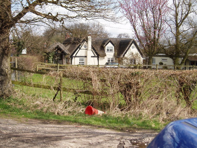
Belt Wood is a picturesque forest located in the county of Cheshire, England. Spanning over a vast area, this woodland is a haven of natural beauty and tranquility. It is situated near the village of Belt, hence its name, and is easily accessible for nature enthusiasts and visitors alike.
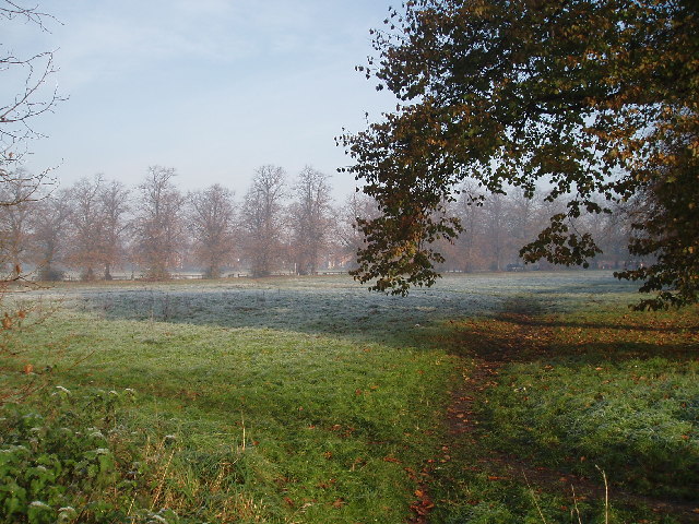
The woodland is predominantly composed of deciduous trees, such as oak, birch, and ash, which create a stunning canopy of greenery throughout the year. The forest floor is covered in a lush carpet of ferns, moss, and wildflowers, adding to its enchanting atmosphere. Belt Wood is also home to a variety of wildlife, including birds, mammals, and insects, making it a popular spot for birdwatching and wildlife photography.
Several well-maintained footpaths and trails wind their way through the forest, offering visitors the opportunity to explore its hidden treasures. The paths are suitable for both walking and cycling, ensuring that visitors can enjoy the woodland at their own pace. There are also designated picnic areas where families and friends can relax and enjoy the serene surroundings.
Belt Wood is managed by the local authorities, who strive to preserve its natural beauty and protect its delicate ecosystem. As a result, the woodland is well-maintained, with regular tree planting and maintenance programs in place. Visitors are encouraged to respect the forest and follow any guidelines or restrictions to ensure its continued preservation.
Overall, Belt Wood is a captivating destination for nature lovers and those seeking solace in the great outdoors. Its idyllic setting, diverse wildlife, and well-maintained paths make it a must-visit location in Cheshire, offering a true escape from the hustle and bustle of everyday life.
If you have any feedback on the listing, please let us know in the comments section below.
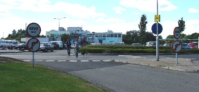
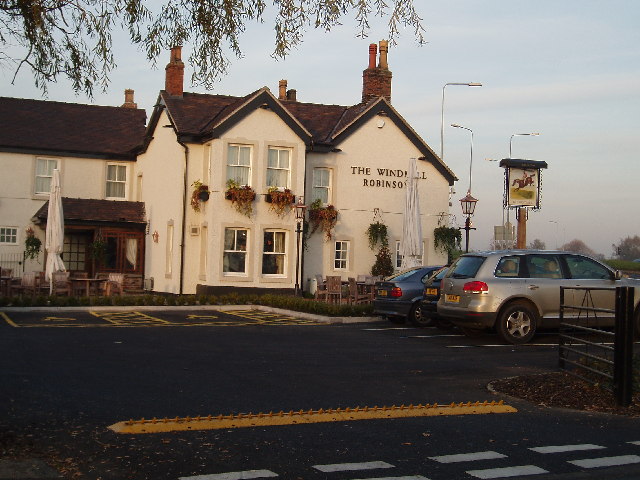
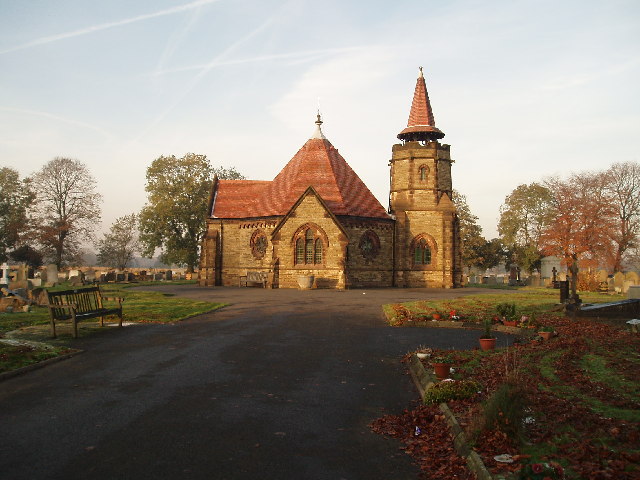
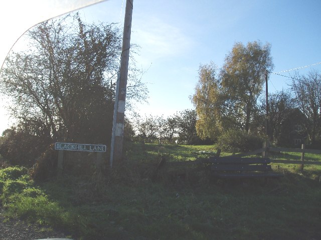
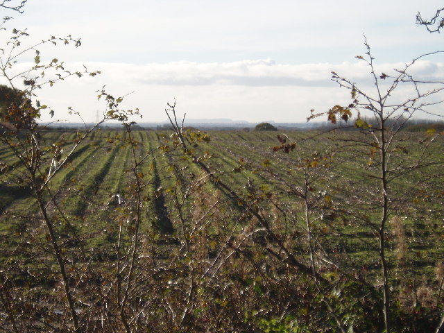
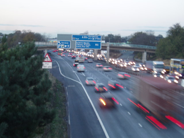
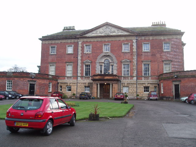
Belt Wood Images
Images are sourced within 2km of 53.301625/-2.4106528 or Grid Reference SJ7278. Thanks to Geograph Open Source API. All images are credited.

Belt Wood is located at Grid Ref: SJ7278 (Lat: 53.301625, Lng: -2.4106528)
Unitary Authority: Cheshire East
Police Authority: Cheshire
What 3 Words
///juror.insurance.faced. Near Knutsford, Cheshire
Nearby Locations
Related Wikis

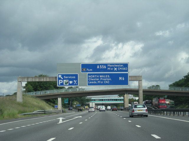
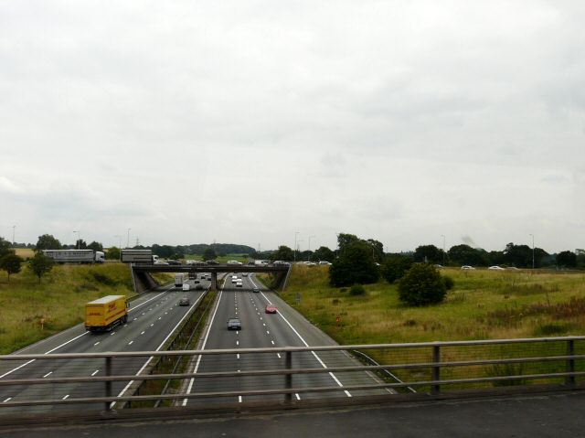
Knutsford Services
Knutsford services is a motorway service station on the M6 in Cheshire, England. == History == Opened in 1963, Knutsford was one of the country's first...

Tabley House
Tabley House is an English country house in Tabley Inferior (Nether Tabley), some 3 kilometres (1.9 mi) to the west of the town of Knutsford, Cheshire...
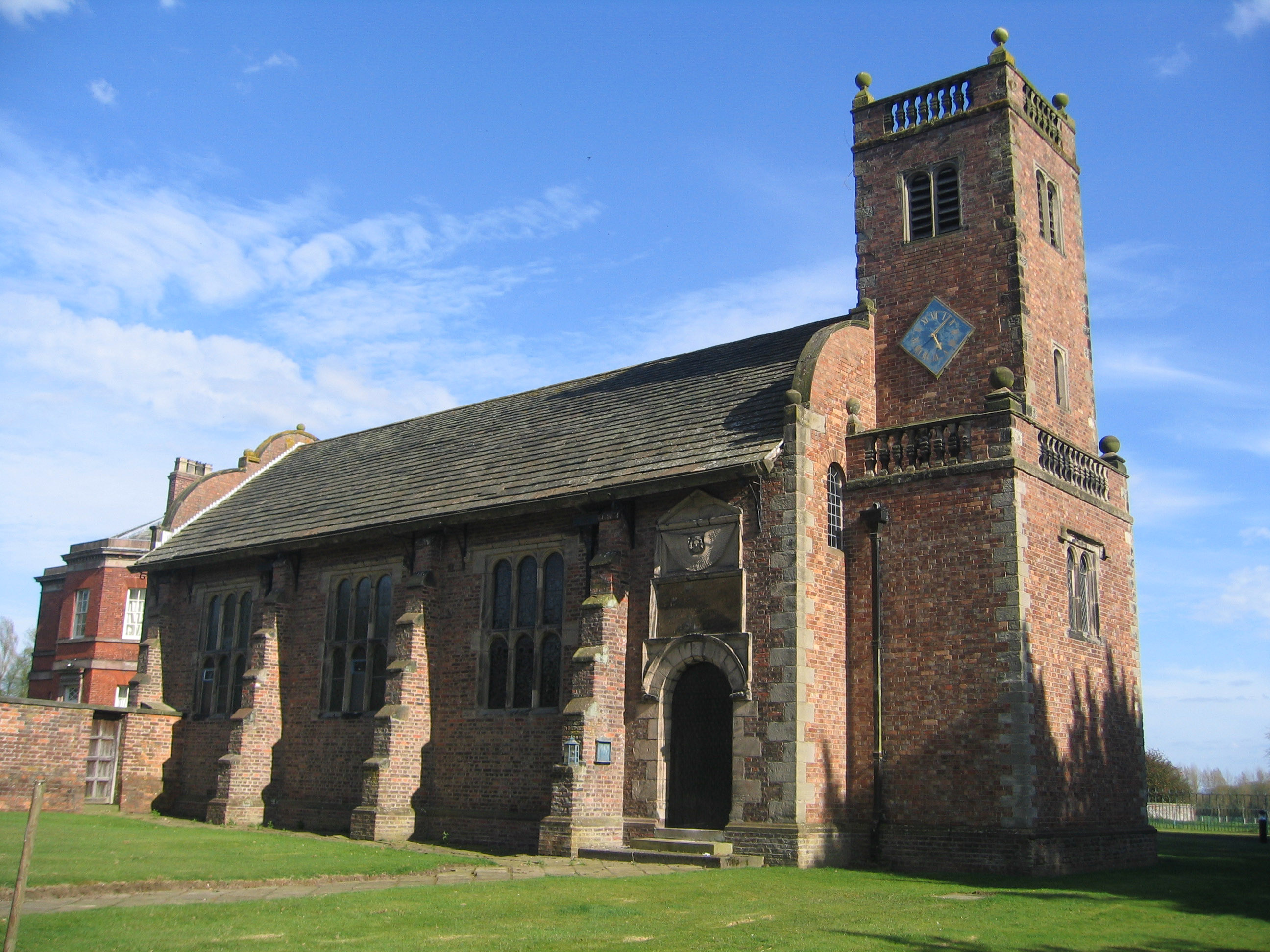
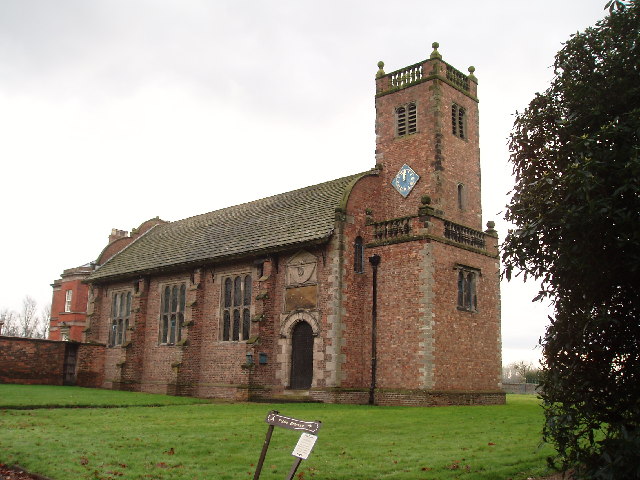
St Peter's Church, Tabley
St Peter's Church is a chapel to the west of Tabley House near Knutsford, Cheshire, England. It is recorded in the National Heritage List for England...

Cuckooland Museum
The Cuckooland Museum, previously known as the Cuckoo Clock Museum, is a museum that exhibits mainly cuckoo clocks, located in Tabley, Cheshire, England...
Tabley Inferior
Tabley Inferior is a civil parish in the Borough of Cheshire East and ceremonial county of Cheshire in England. It has a population of 137. Tabley House...
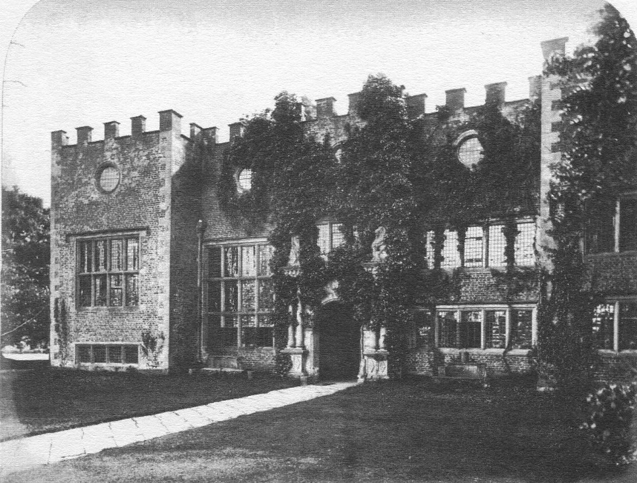
Tabley Old Hall
The ruin of Tabley Old Hall (more properly known as Nether Tabley Old Hall) is on an island surrounded by a moat in the civil parish of Tabley Inferior...

Tabley Superior
Tabley Superior is a civil parish in the Borough of Cheshire East and ceremonial county of Cheshire in England. In 2001, it had a population of 316. The...

St Paul's Church, Over Tabley
St Paul's Church, is in Tabley Superior, Cheshire, England. It stands beside the B5569 which was formerly the A556 road between the M6 and the M56 but...
Nearby Amenities
Located within 500m of 53.301625,-2.4106528Have you been to Belt Wood?
Leave your review of Belt Wood below (or comments, questions and feedback).