Cobby Wood
Wood, Forest in Somerset Mendip
England
Cobby Wood
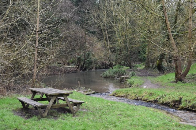
Cobby Wood is a picturesque forest located in Somerset, England. Spread over a vast area, this woodland is known for its natural beauty, diverse flora and fauna, and tranquil atmosphere. The wood is situated near the village of Cobby, nestled amidst rolling hills and meadows.
The forest comprises a mixture of deciduous and coniferous trees, including oak, beech, birch, and pine. The leafy canopy provides shelter and a home to a wide array of wildlife, making it a haven for nature enthusiasts and birdwatchers. Visitors can spot various species of birds, such as woodpeckers, owls, and finches, as well as mammals like deer, foxes, and rabbits.
Tranquil walking trails wind through the wood, allowing visitors to explore its natural wonders at their own pace. The paths are well-maintained and suitable for all ages and abilities. Along the way, one can discover enchanting clearings, babbling brooks, and hidden glades, perfect for a peaceful picnic or a moment of reflection.
Cobby Wood is also a popular destination for outdoor activities such as camping, hiking, and photography. The forest provides a sense of escape from the hustle and bustle of daily life, offering visitors a chance to reconnect with nature and enjoy its serenity.
Overall, Cobby Wood in Somerset is a haven of tranquility, boasting stunning landscapes, diverse wildlife, and an abundance of natural beauty. It is a must-visit destination for those seeking solace in nature and a delightful escape from the urban chaos.
If you have any feedback on the listing, please let us know in the comments section below.
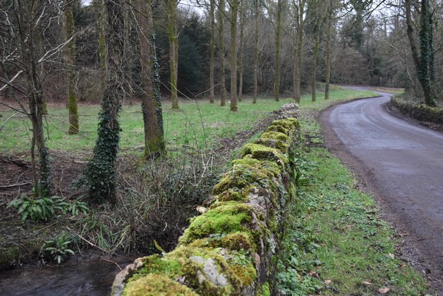
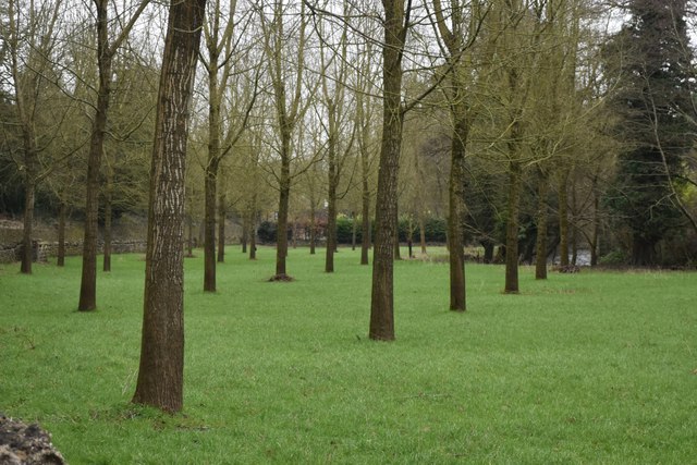
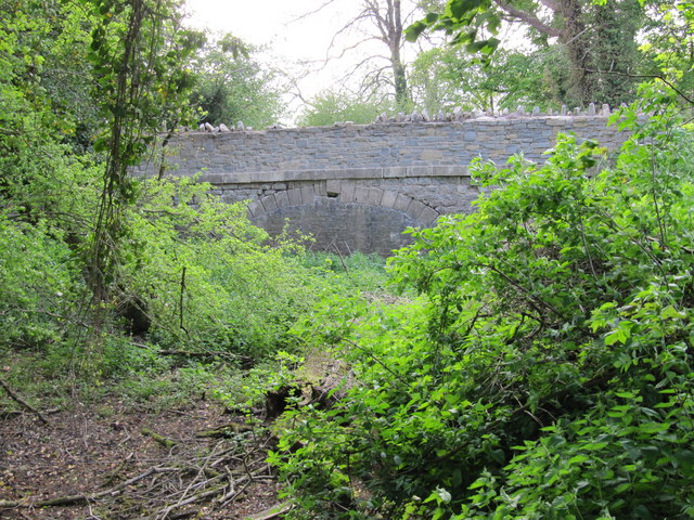
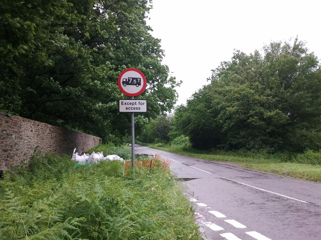
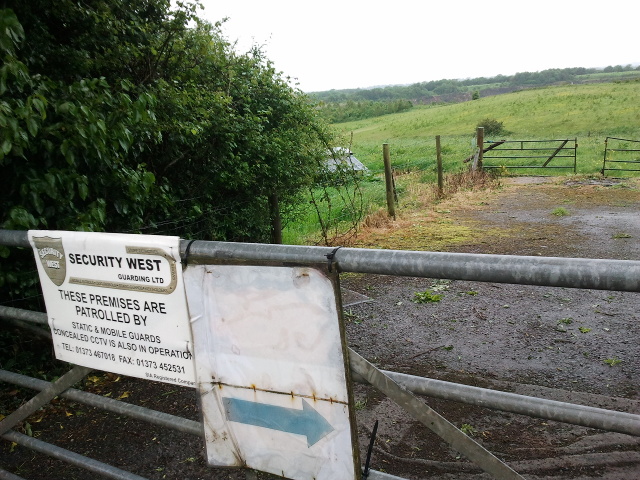
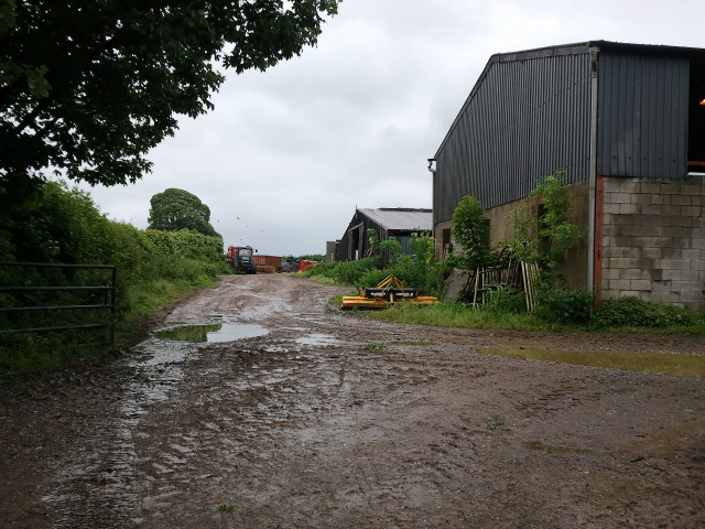
Cobby Wood Images
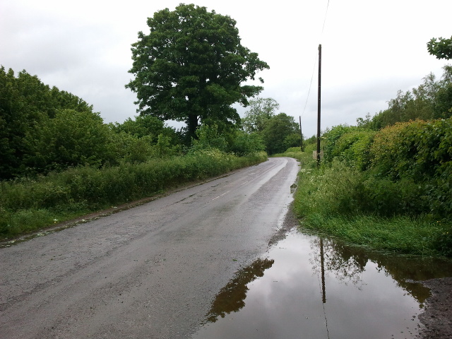
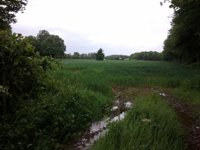
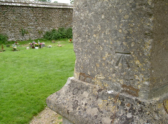
Images are sourced within 2km of 51.231286/-2.410021 or Grid Reference ST7148. Thanks to Geograph Open Source API. All images are credited.


Cobby Wood is located at Grid Ref: ST7148 (Lat: 51.231286, Lng: -2.410021)
Administrative County: Somerset
District: Mendip
Police Authority: Avon and Somerset
What 3 Words
///goodbyes.fountain.laugh. Near Frome, Somerset
Nearby Locations
Related Wikis
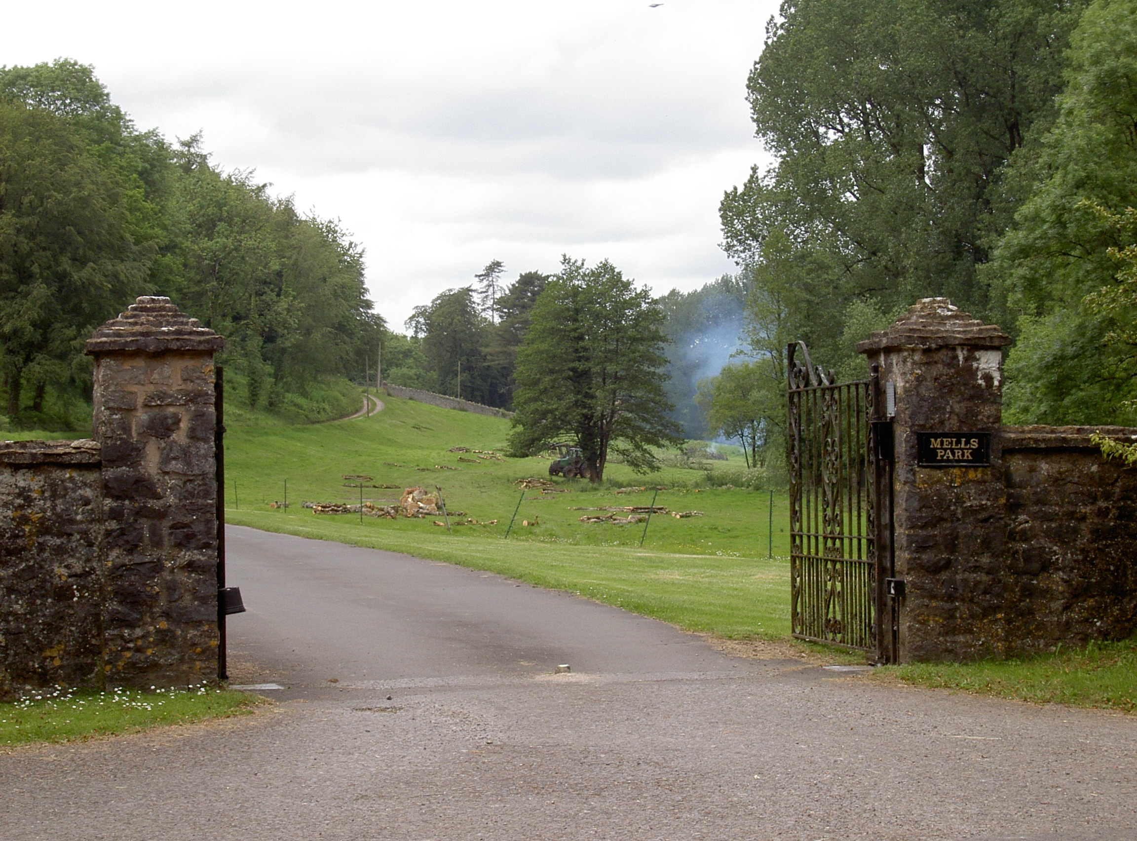
Mells Park
Mells Park is a country estate of 140 hectares (350 acres) near Mells, Somerset, England. It originated as a 17th-century deer park, probably created by...

Whatley Quarry
Whatley Quarry, grid reference ST731479 is a limestone quarry owned by Hanson plc, near the village of Whatley on the Mendip Hills, Somerset, England....

Mells, Somerset
Mells is a village and civil parish in Somerset, England, near the town of Frome. == Vobster == The parish includes the village of Vobster, which had a...
Mells Manor
Mells Manor at Mells, Somerset, England, was built in the 16th century for Edward Horner, altered in the 17th century, partially demolished around 1780...
Nearby Amenities
Located within 500m of 51.231286,-2.410021Have you been to Cobby Wood?
Leave your review of Cobby Wood below (or comments, questions and feedback).