Snatch Bottom
Valley in Somerset Mendip
England
Snatch Bottom

Snatch Bottom, Somerset (Valley) is a picturesque village nestled in the heart of Somerset, England. It is located in the scenic Somerset Levels, a low-lying wetland area renowned for its stunning landscapes and rich biodiversity. With a population of around 300 residents, Snatch Bottom offers a tranquil escape from the hustle and bustle of city life.
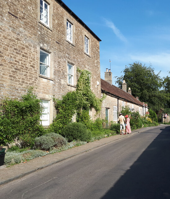
The village is characterized by its charming thatched-roof cottages, traditional limestone buildings, and meandering country lanes. Its idyllic setting is further enhanced by the presence of the River Snatch, which gently flows through the valley, providing a peaceful backdrop to the village.
Despite its small size, Snatch Bottom boasts a strong sense of community spirit. The villagers take great pride in their local heritage and actively participate in various community events and initiatives. The village pub, The Snatch Inn, is a popular gathering spot, serving traditional Somerset cider and hearty pub meals.
Nature lovers will find plenty to explore in Snatch Bottom and its surrounding areas. The Somerset Levels offer excellent opportunities for birdwatching, with a wide range of species inhabiting the wetlands. The nearby Mendip Hills also provide ample opportunities for hiking, cycling, and horseback riding, showcasing the region's natural beauty.
Access to Snatch Bottom is convenient, with the village located just a short drive from the town of Glastonbury. Glastonbury Abbey, a famous historical site, is a popular attraction for visitors to the area, adding to the allure of Snatch Bottom as a destination for both locals and tourists seeking a peaceful countryside retreat.
If you have any feedback on the listing, please let us know in the comments section below.
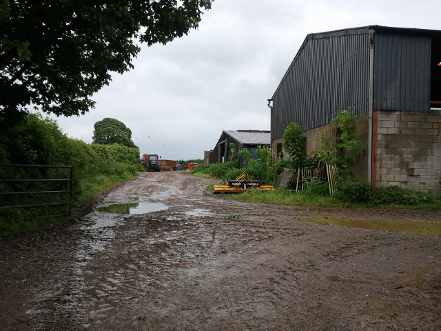
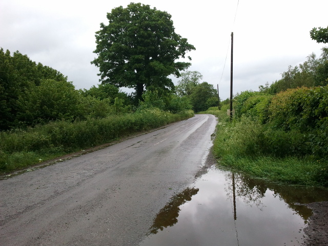
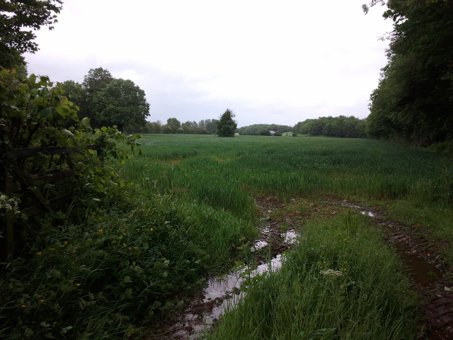
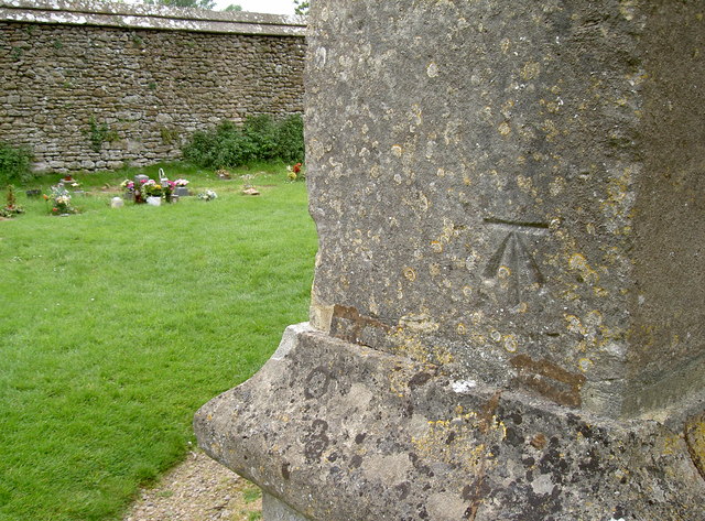
Snatch Bottom Images
Images are sourced within 2km of 51.237173/-2.4057905 or Grid Reference ST7148. Thanks to Geograph Open Source API. All images are credited.


Snatch Bottom is located at Grid Ref: ST7148 (Lat: 51.237173, Lng: -2.4057905)
Administrative County: Somerset
District: Mendip
Police Authority: Avon and Somerset
What 3 Words
///broached.remix.flask. Near Frome, Somerset
Nearby Locations
Related Wikis
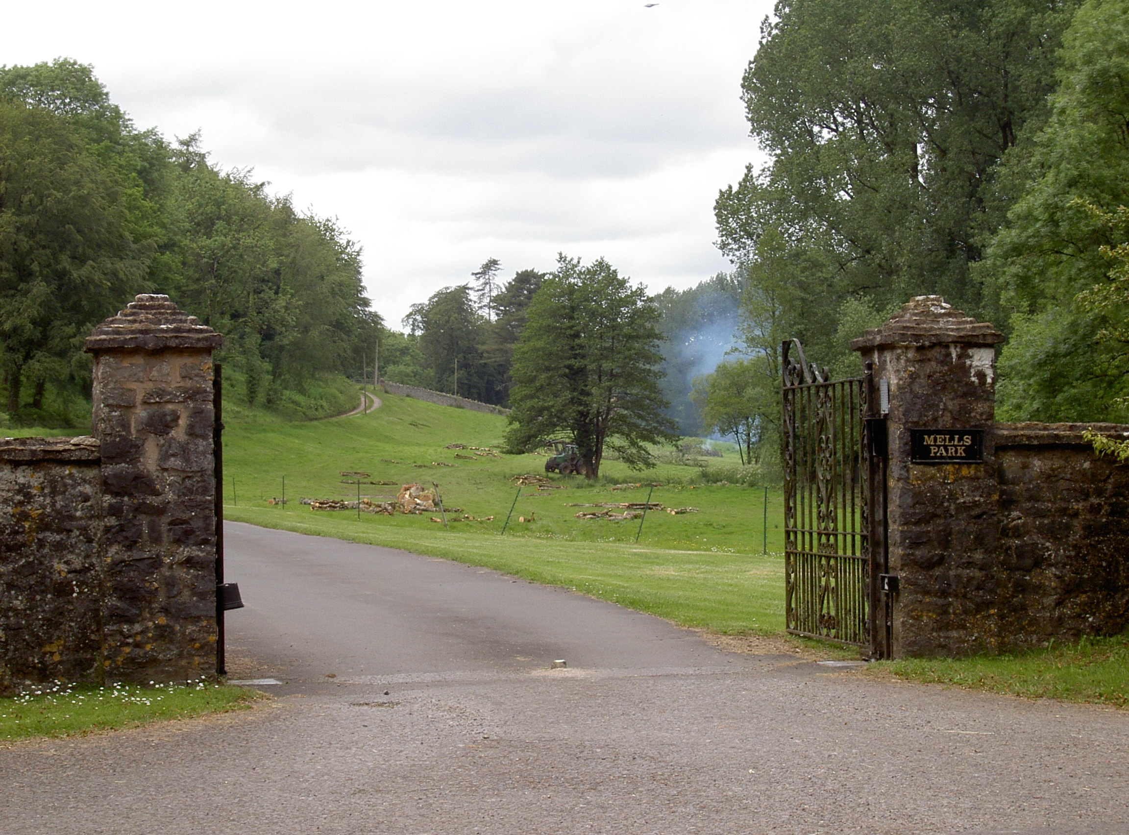
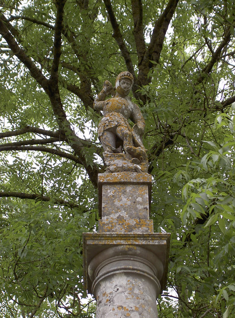
Mells Park
Mells Park is a country estate of 140 hectares (350 acres) near Mells, Somerset, England. It originated as a 17th-century deer park, probably created by...
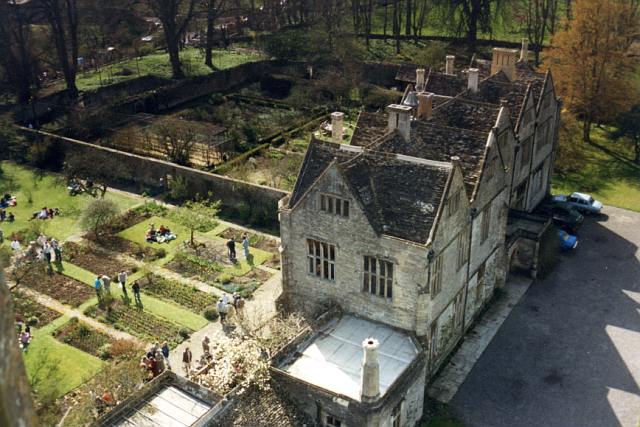
Mells Manor
Mells Manor at Mells, Somerset, England, was built in the 16th century for Edward Horner, altered in the 17th century, partially demolished around 1780...
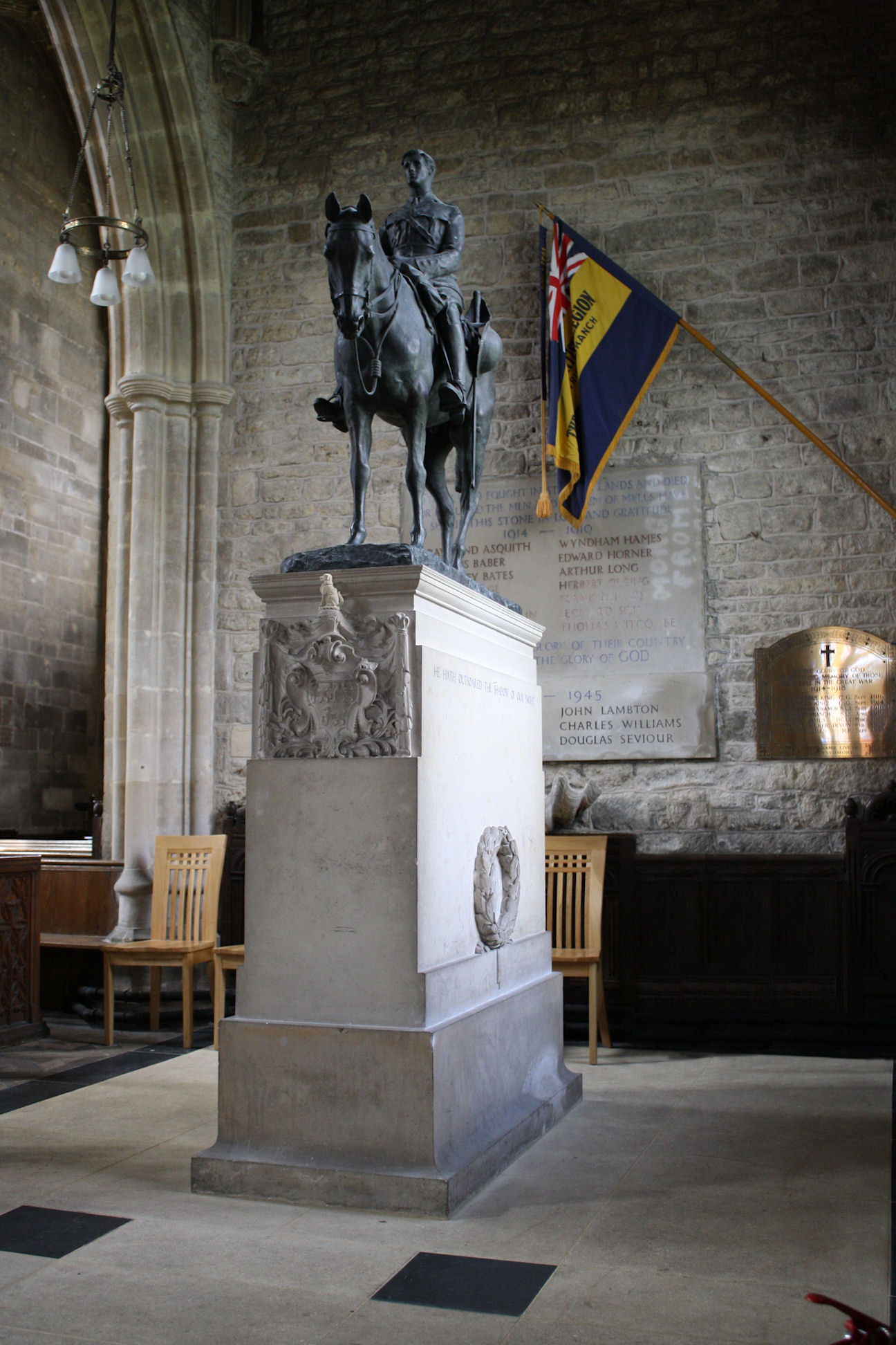
Equestrian statue of Edward Horner
The equestrian statue of Edward Horner stands inside St Andrew's Church in the village of Mells in Somerset, south-western England. It was designed by...

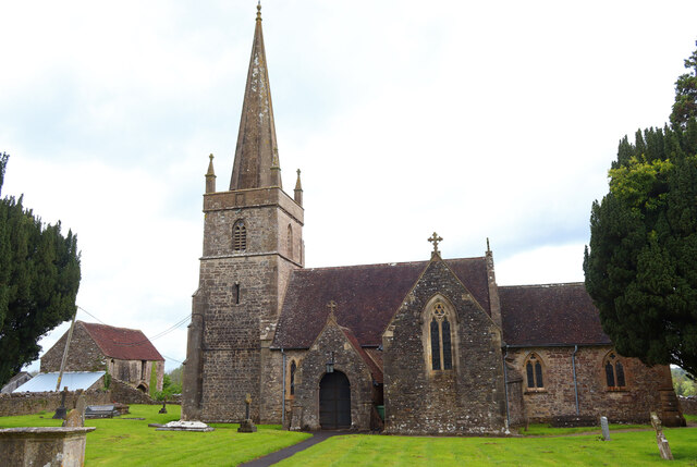
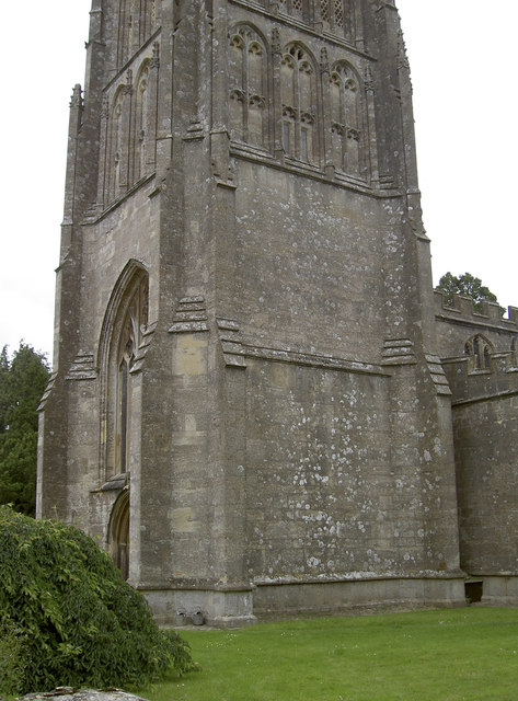
St Andrew's Church, Mells
St Andrew's Church is a Church of England parish church located in the village of Mells in the English county of Somerset. The church is a grade I listed...

Mells, Somerset
Mells is a village and civil parish in Somerset, England, near the town of Frome. == Vobster == The parish includes the village of Vobster, which had a...
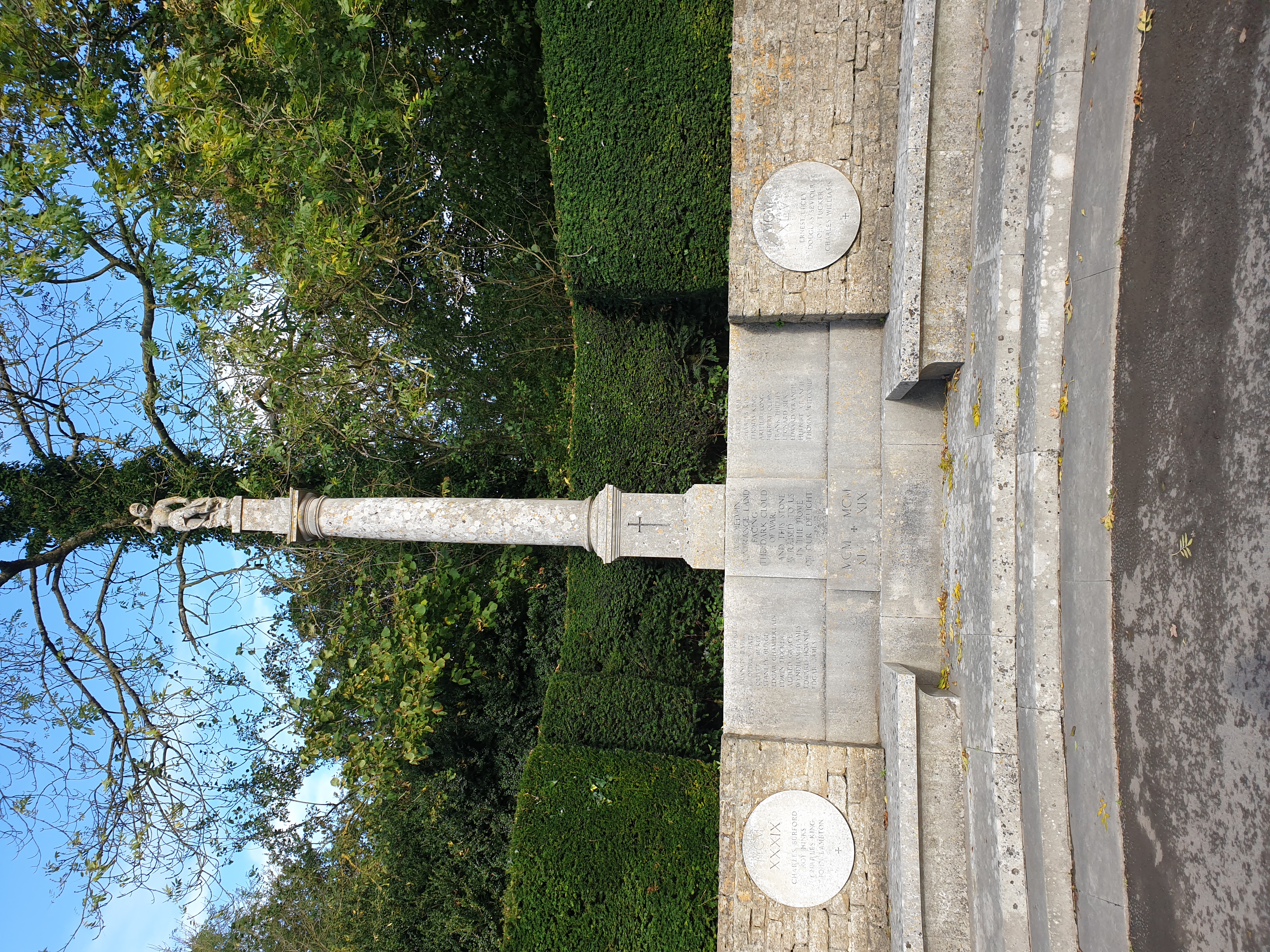
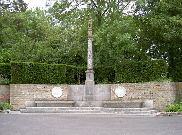
Mells War Memorial
Mells War Memorial is a First World War memorial by Sir Edwin Lutyens in the village of Mells in the Mendip Hills of Somerset, south-western England. Unveiled...
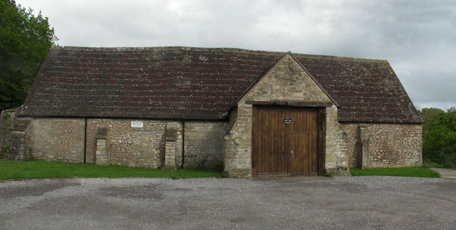
Mells Village Hall
Mells Village Hall in Mells, Somerset, England was built in the 14th century as a tithe barn and now serves as the village hall. It is a Grade II* listed...

Whatley Quarry
Whatley Quarry, grid reference ST731479 is a limestone quarry owned by Hanson plc, near the village of Whatley on the Mendip Hills, Somerset, England....
Nearby Amenities
Located within 500m of 51.237173,-2.4057905Have you been to Snatch Bottom?
Leave your review of Snatch Bottom below (or comments, questions and feedback).