Berry Hill
Hill, Mountain in Somerset Mendip
England
Berry Hill

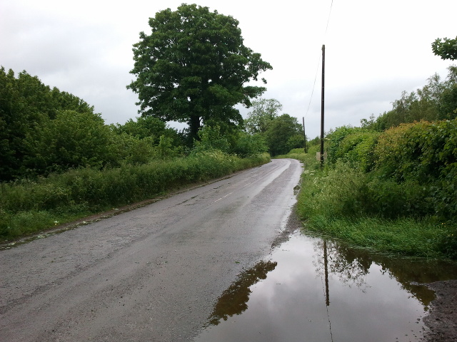
Berry Hill is a prominent hill located in the picturesque county of Somerset, England. Rising to an elevation of approximately 244 meters (800 feet) above sea level, it stands as a notable landmark in the region. Situated just north of the small village of North Stoke, Berry Hill offers breathtaking panoramic views of the surrounding countryside, making it a popular destination for nature enthusiasts and hikers alike.
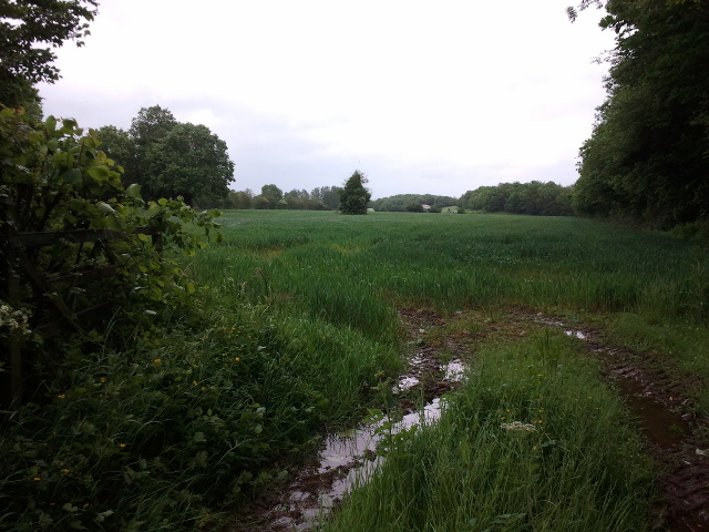
Covered in lush greenery, the hill boasts a rich diversity of flora and fauna, providing a haven for wildlife. Ancient woodlands adorn its slopes, featuring a variety of tree species, including oak, beech, and ash. The hill's undulating terrain is also dotted with wildflowers during the spring and summer months, creating a vibrant and colorful landscape.
At the peak of Berry Hill, visitors can marvel at the spectacular vistas stretching across the scenic Somerset Levels to the south, with the Mendip Hills visible in the distance. On clear days, it is even possible to catch a glimpse of the Bristol Channel towards the west.
Aside from its natural beauty, Berry Hill also holds historical significance. Ruins of an Iron Age hillfort can be found on the hill's summit, serving as a reminder of the area's ancient past. Archaeological excavations have revealed remains of early settlements and artifacts, contributing to our understanding of the region's heritage.
With its stunning views, abundant wildlife, and historical significance, Berry Hill continues to captivate visitors and locals alike, offering a tranquil escape into the heart of Somerset's natural beauty.
If you have any feedback on the listing, please let us know in the comments section below.
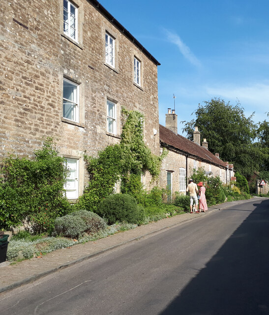
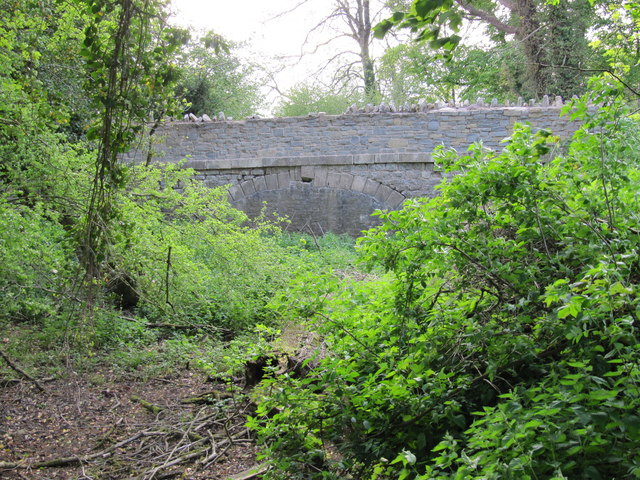
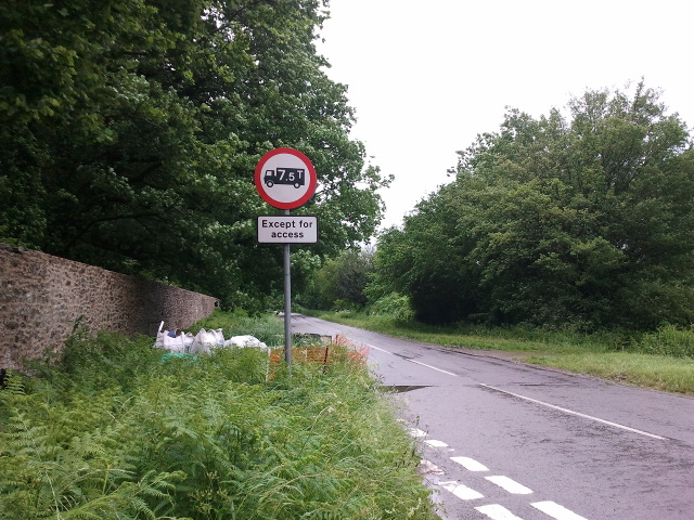
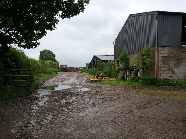
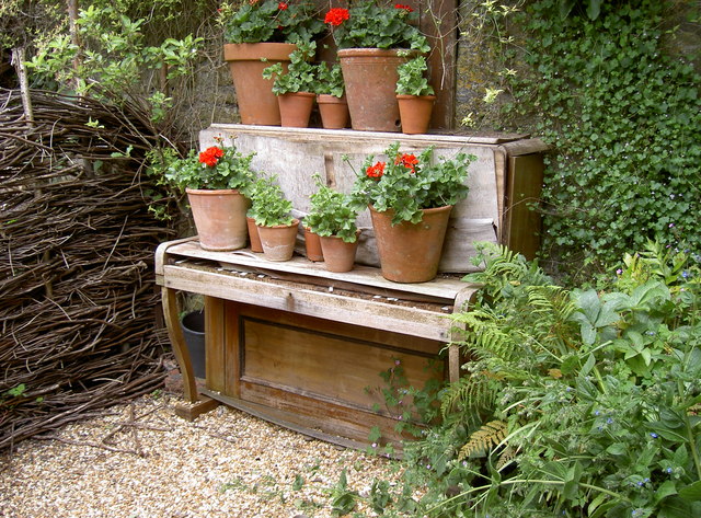
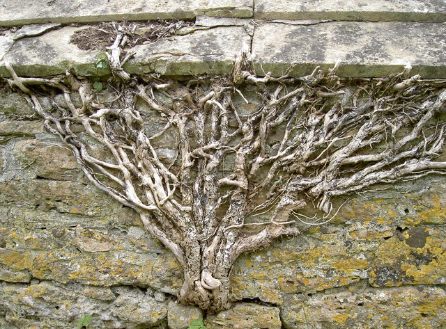
Berry Hill Images
Images are sourced within 2km of 51.237341/-2.4090006 or Grid Reference ST7148. Thanks to Geograph Open Source API. All images are credited.


Berry Hill is located at Grid Ref: ST7148 (Lat: 51.237341, Lng: -2.4090006)
Administrative County: Somerset
District: Mendip
Police Authority: Avon and Somerset
What 3 Words
///explained.yours.lump. Near Frome, Somerset
Nearby Locations
Related Wikis
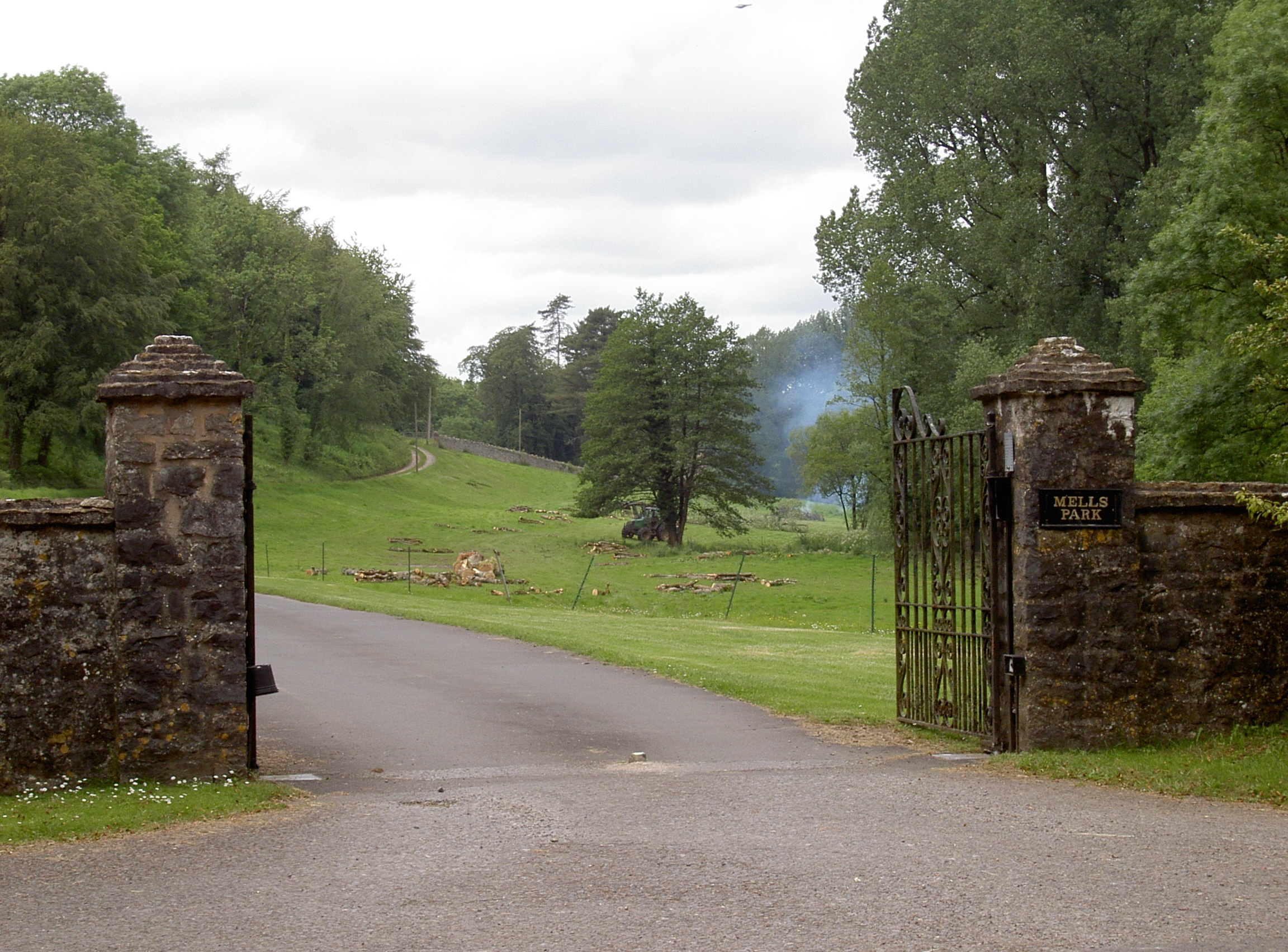
Mells Park
Mells Park is a country estate of 140 hectares (350 acres) near Mells, Somerset, England. It originated as a 17th-century deer park, probably created by...
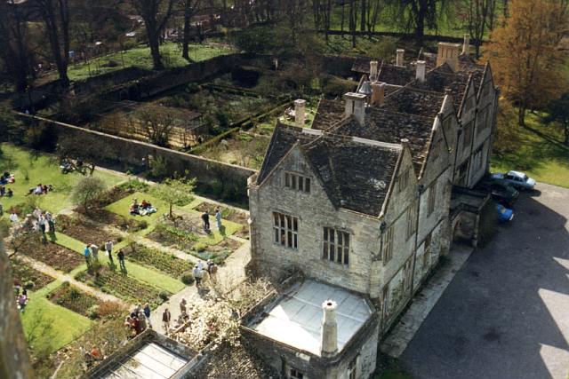
Mells Manor
Mells Manor at Mells, Somerset, England, was built in the 16th century for Edward Horner, altered in the 17th century, partially demolished around 1780...
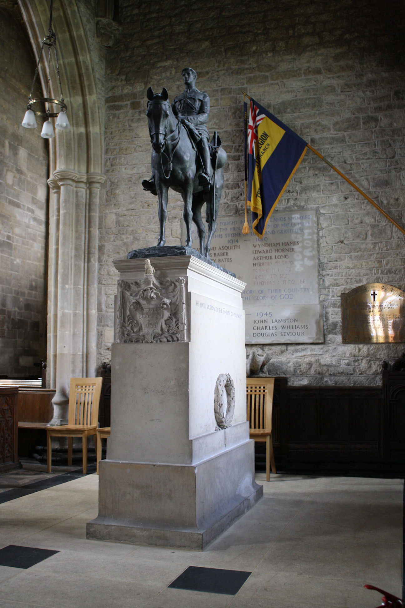
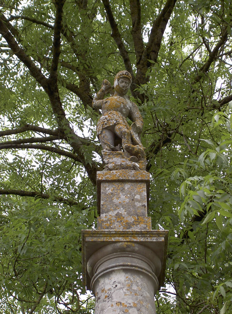
Equestrian statue of Edward Horner
The equestrian statue of Edward Horner stands inside St Andrew's Church in the village of Mells in Somerset, south-western England. It was designed by...

St Andrew's Church, Mells
St Andrew's Church is a Church of England parish church located in the village of Mells in the English county of Somerset. The church is a grade I listed...

Mells, Somerset
Mells is a village and civil parish in Somerset, England, near the town of Frome. == Vobster == The parish includes the village of Vobster, which had a...
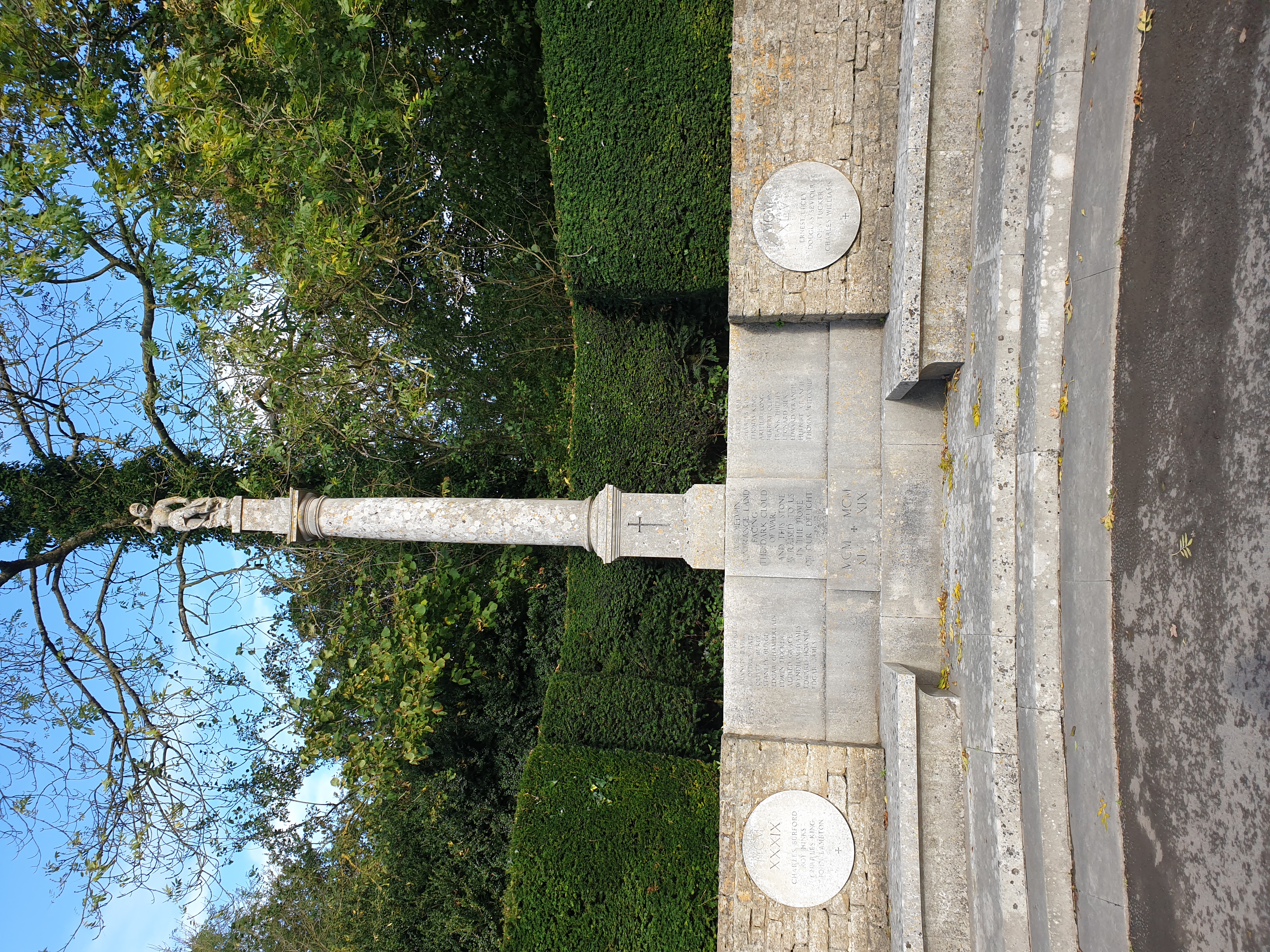
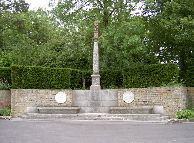
Mells War Memorial
Mells War Memorial is a First World War memorial by Sir Edwin Lutyens in the village of Mells in the Mendip Hills of Somerset, south-western England. Unveiled...
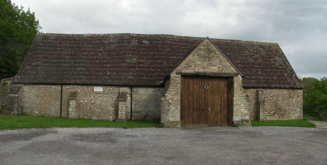
Mells Village Hall
Mells Village Hall in Mells, Somerset, England was built in the 14th century as a tithe barn and now serves as the village hall. It is a Grade II* listed...

Whatley Quarry
Whatley Quarry, grid reference ST731479 is a limestone quarry owned by Hanson plc, near the village of Whatley on the Mendip Hills, Somerset, England....
Nearby Amenities
Located within 500m of 51.237341,-2.4090006Have you been to Berry Hill?
Leave your review of Berry Hill below (or comments, questions and feedback).