Northfields Withy Bed

Wood, Forest in Dorset

England

Northfields Withy Bed

House Fourways at junction at south end of village
House Fourways at junction at south end of village Credit: John Firth

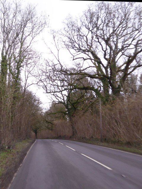
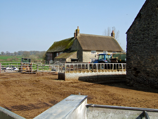
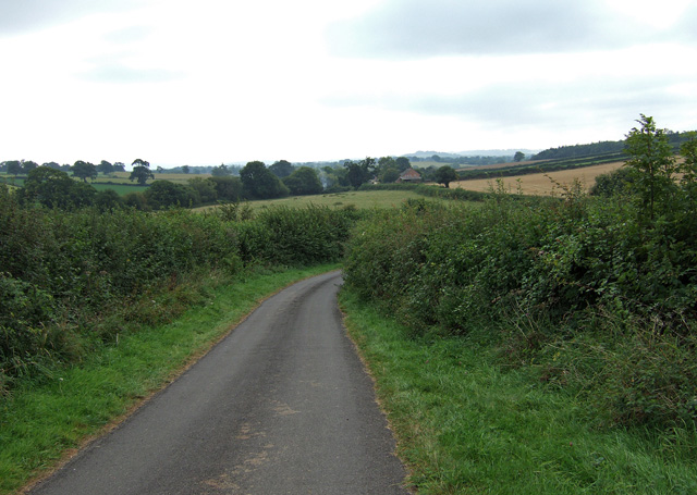
Northfields Withy Bed is a scenic woodland area located in Dorset, England. Covering a vast expanse, it is a popular destination for nature enthusiasts and outdoor enthusiasts alike. The woodland is characterized by its dense canopy of trees, which creates a serene and tranquil atmosphere.

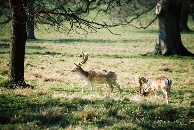
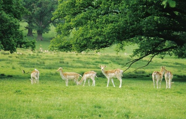
The wood is predominantly made up of deciduous trees, with species such as oak, beech, and ash dominating the landscape. These trees provide a rich habitat for a variety of wildlife, including deer, foxes, badgers, and numerous bird species. The undergrowth is lush and diverse, with ferns, bluebells, and wildflowers adding vibrant splashes of color to the forest floor.

Northfields Withy Bed offers a network of walking trails, allowing visitors to explore the wood at their own pace. The trails are well-maintained and clearly marked, making it easy for visitors to navigate their way through the woodland. There are also picnic areas and benches scattered throughout the area, providing visitors with the opportunity to relax and take in the natural beauty of their surroundings.

The woodland is managed by the local authorities, who are dedicated to preserving its natural beauty and protecting its wildlife. They organize regular educational programs and guided walks, helping visitors gain a deeper understanding of the woodland ecosystem and its importance for biodiversity.

Overall, Northfields Withy Bed in Dorset is a stunning woodland retreat that offers a peaceful escape from the hustle and bustle of everyday life. Its diverse flora and fauna, coupled with its well-maintained trails, make it the perfect destination for nature lovers and outdoor enthusiasts.

If you have any feedback on the listing, please let us know in the comments section below.

Northfields Withy Bed Images

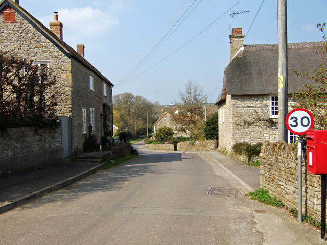
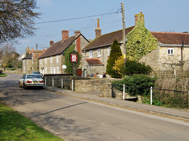
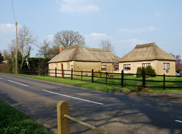
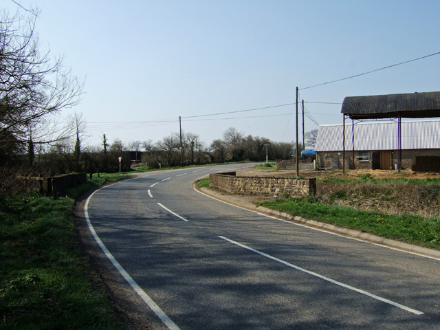
Images are sourced within 2km of 50.914528/-2.4072723 or Grid Reference ST7112. Thanks to Geograph Open Source API. All images are credited.

House Fourways at junction at south end of village
Repairing Higher Wood Bridge, Bishop's Caundle
Lower Wood Bridge, east of Bishop's Caundle
Bare trees by the A3030 near Blackrow Lane The sign indicates the turn for Blackrow Lane, leading to King's Stag
Bare trees by the A3030 near Blackrow Lane
The sign indicates the turn for Blackrow Lane, leading to King's Stag
A3030 in Stock Wood, near Lydlinch
Old Bridge Marker by the A3030, Higher Wood Bridge, Bishops Caundle parish Bridge Marker by the A3030, in parish of Bishops Caundle (West Dorset District), Higher Wood Bridge, Northeast side of road. (Dangerous road). For some reason this plate was replaced by a new inaccurate plate between 2015/6, presumably when the bridge was re-pointed. 

Inscription reads:-
DORSET
ANY PERSON WILFULLY INJURING
ANY PART OF THIS COUNTY BRIDGE
WILL BE GUILTY OF FELONY AND
UPON CONVICTION LIABLE TO BE
TRANSPORTED FOR LIFE
BY THE COURT
7&8 GEO 4 C30 S13 T FOOKS

Surveyed

Milestone Society National ID: DO_TRAHWObr
Old Bridge Marker by the A3030, Higher Wood Bridge, Bishops Caundle parish
Bridge Marker by the A3030, in parish of Bishops Caundle (West Dorset District), Higher Wood Bridge, Northeast side of road. (Dangerous road). For some reason this plate was replaced by a new inaccurate plate between 2015/6, presumably when the bridge was re-pointed. Inscription reads:- DORSET ANY PERSON WILFULLY INJURING ANY PART OF THIS COUNTY BRIDGE WILL BE GUILTY OF FELONY AND UPON CONVICTION LIABLE TO BE TRANSPORTED FOR LIFE BY THE COURT 7&8 GEO 4 C30 S13 T FOOKS Surveyed Milestone Society National ID: DO_TRAHWObr
Direction Sign – Signpost Located on the north side of the A3030 beside the entrance to Woodbridge Farm, opposite Peaceful Lane in Holwell parish. 3 arms, 1 missing, and annulus finial. See also <a title="https://www.geograph.org.uk/photo/458327" href="https://www.geograph.org.uk/photo/458327">Link</a>.

Milestone Society National ID: DO_ST7112
Direction Sign – Signpost
Located on the north side of the A3030 beside the entrance to Woodbridge Farm, opposite Peaceful Lane in Holwell parish. 3 arms, 1 missing, and annulus finial. See also Link. Milestone Society National ID: DO_ST7112
Ford on the Caundle Brook This ford is found off Blind Lane at Bishop’s Caundle.
Ford on the Caundle Brook
This ford is found off Blind Lane at Bishop’s Caundle.
Stourton Caundle from the South
Village Street and Pub at Stourton Caundle A fine Spring day, where drinkers at The Trooper were outside, basking in the warm afternoon sun. The pub is Grade II listed, and may have originally been a mid C19 house.
Village Street and Pub at Stourton Caundle
A fine Spring day, where drinkers at The Trooper were outside, basking in the warm afternoon sun. The pub is Grade II listed, and may have originally been a mid C19 house.
The Old Reading Room at King's Stag Former Mission Room, dated 1836, Grade II listed, and now a private house on the B3143 north of the village.
The Old Reading Room at King's Stag
Former Mission Room, dated 1836, Grade II listed, and now a private house on the B3143 north of the village.
Woodbridge on the Sherborne Road Road bridge on the A3030 towards Sherborne, crossing the Caundle Brook.
Woodbridge on the Sherborne Road
Road bridge on the A3030 towards Sherborne, crossing the Caundle Brook.
Woodbridge Farm - Woodbridge The farmhouse is Grade II listed, and consists of two parts. The rear wing is probably early C18, and the front late C18 or early C19.
Woodbridge Farm - Woodbridge
The farmhouse is Grade II listed, and consists of two parts. The rear wing is probably early C18, and the front late C18 or early C19.
Stock Gaylard: parish church of St. Barnabas
A peaceful sign Signpost to Peaceful Lane, near Bishop's Caundle – the sign has since been moved back from the road and the flowers are gone.
A peaceful sign
Signpost to Peaceful Lane, near Bishop's Caundle – the sign has since been moved back from the road and the flowers are gone.
Antlers at Stock Gaylard The deer park is alongside the A3030 and deer are frequently to be seen as one drives past.
Antlers at Stock Gaylard
The deer park is alongside the A3030 and deer are frequently to be seen as one drives past.
Stock Gaylard: deer park
The road to Rowden Mill Farm A lengthy road to nowhere if you miss the 'No Through Road' sign at the turning in Stourton Caundle. Journey's end is Rowden Mill Farm which can be glimpsed in the distance.
The road to Rowden Mill Farm
A lengthy road to nowhere if you miss the 'No Through Road' sign at the turning in Stourton Caundle. Journey's end is Rowden Mill Farm which can be glimpsed in the distance.
Show me another place!

Northfields Withy Bed is located at Grid Ref: ST7112 (Lat: 50.914528, Lng: -2.4072723)

Unitary Authority: Dorset

Police Authority: Dorset

What 3 Words

///physics.awake.driveways. Near Stalbridge, Dorset

Related Wikis

Woodbridge, Dorset

Woodbridge is a hamlet in Dorset, England. The village is on the A3030 road and to the north east of Holwell. == History == Woodbridge was part of the...

King's Stag Memorial Chapel

King's Stag Memorial Chapel is a Church of England chapel in King's Stag, Dorset, England. == History == The memorial chapel at King's Stag was built in...

Bishop's Caundle

Bishop's Caundle is a village and civil parish in Dorset, South West England. It is situated 6 miles (9.7 km) south-east of Sherborne. The local travel...

Stourton Caundle

Stourton Caundle is a village and civil parish in the county of Dorset in southwest England. It lies within the Blackmore Vale, about five miles (eight...

Have you been to Northfields Withy Bed?

Leave your review of Northfields Withy Bed below (or comments, questions and feedback).