Longworth Hall Plantation
Wood, Forest in Lancashire
England
Longworth Hall Plantation
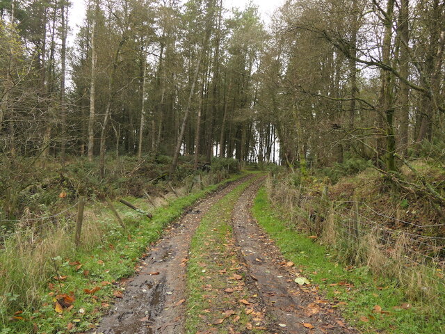
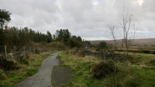
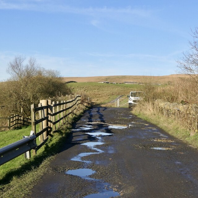
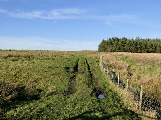
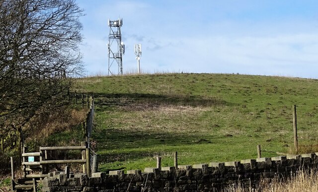
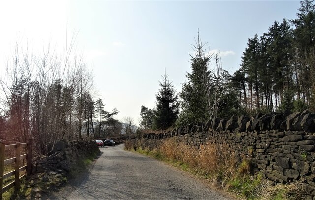
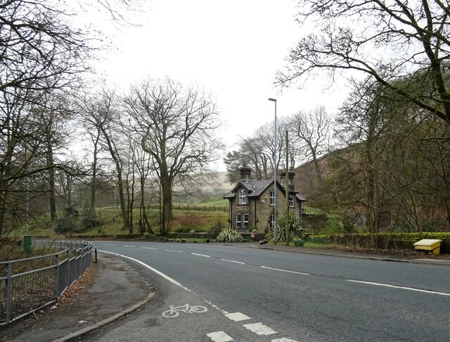
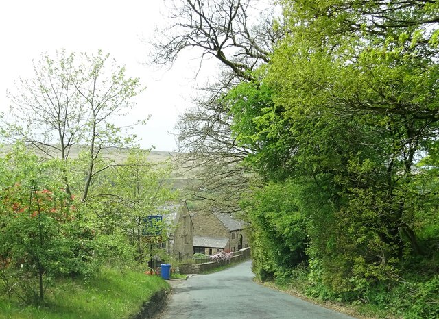
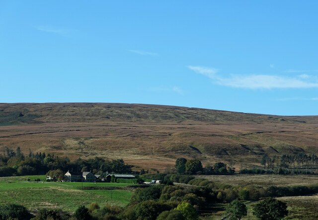
Longworth Hall Plantation is a beautiful woodland area located in Lancashire, England. Situated near the town of Wood, this forested expanse spans over several acres and offers a tranquil and picturesque setting for nature lovers and outdoor enthusiasts.
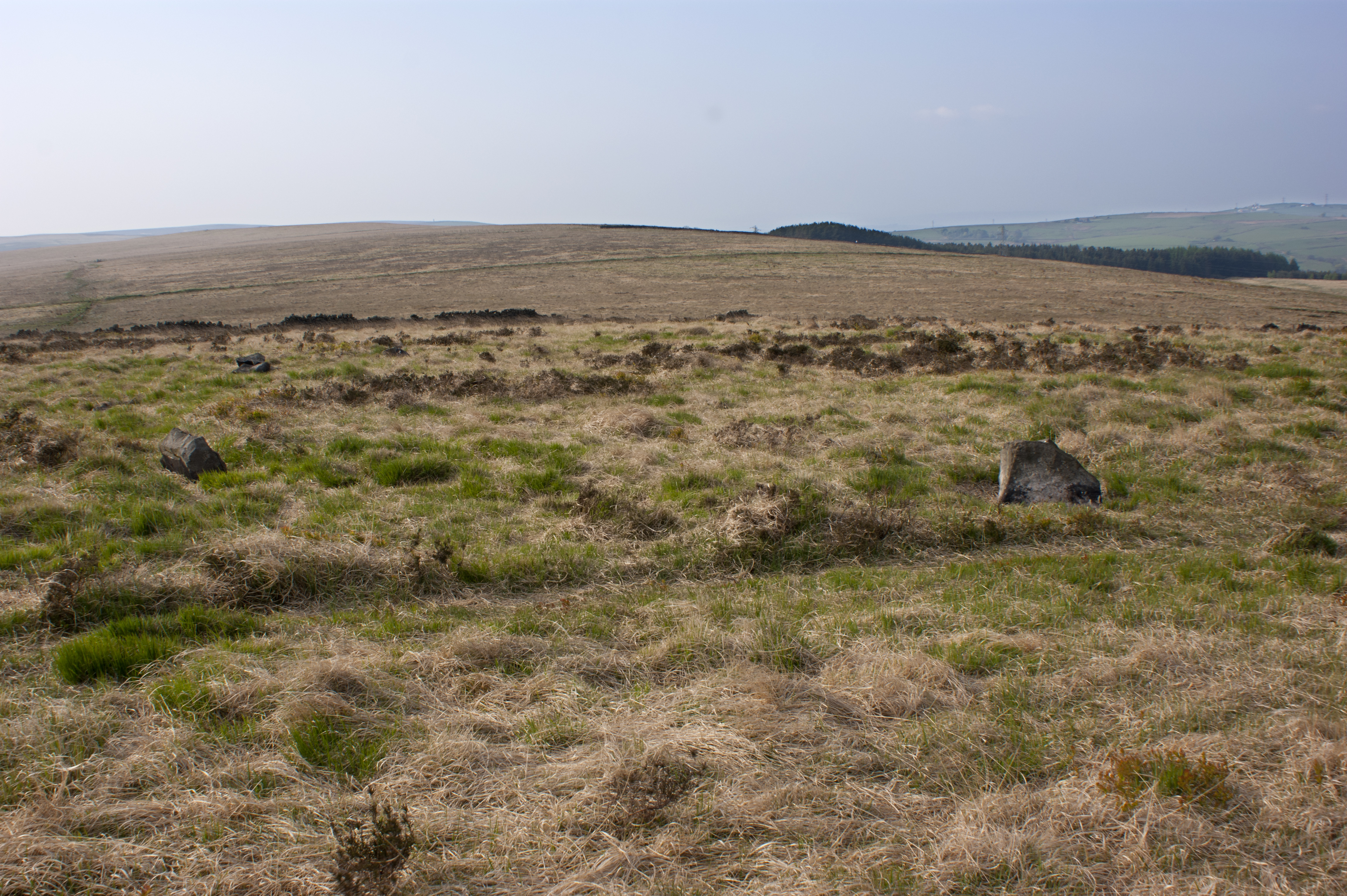
The plantation features a diverse range of trees, including oak, beech, birch, and pine, creating a rich and varied landscape. The canopy formed by these trees provides a shaded and peaceful environment, making it an ideal spot for leisurely walks or picnics. The forest floor is covered with a thick layer of moss, ferns, and wildflowers, adding to the enchanting atmosphere.
Longworth Hall Plantation is also home to a variety of wildlife. Visitors may spot deer, foxes, rabbits, and a myriad of bird species, making it a popular destination for birdwatchers. The peacefulness of the woods allows for a close connection with nature, offering a chance to experience the sights and sounds of the forest ecosystem.
The plantation is well-maintained, with clearly marked trails for visitors to explore. There are also benches and picnic areas scattered throughout the woodland, providing opportunities for relaxation and appreciation of the natural surroundings. The management of the plantation takes great care in preserving the ecosystem and ensuring the sustainability of the forest.
Longworth Hall Plantation is a hidden gem in Lancashire, offering a serene and immersive experience in nature. Whether it is a peaceful walk, a birdwatching expedition, or simply a moment of tranquility, this woodland paradise is sure to captivate all who venture into its depths.
If you have any feedback on the listing, please let us know in the comments section below.
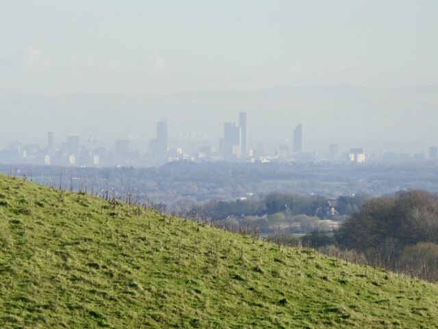
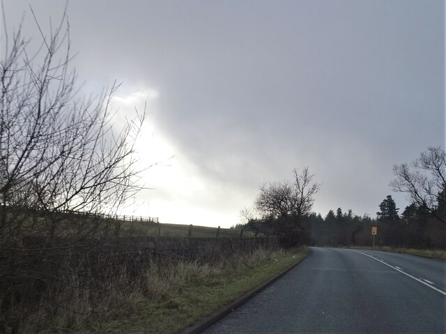
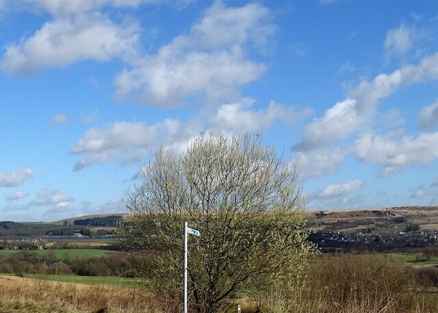
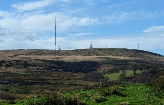
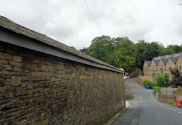
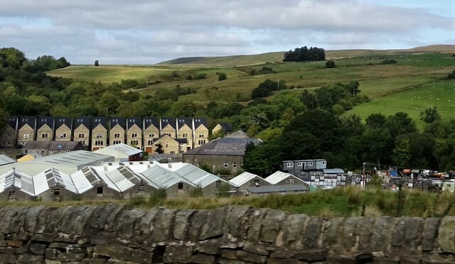
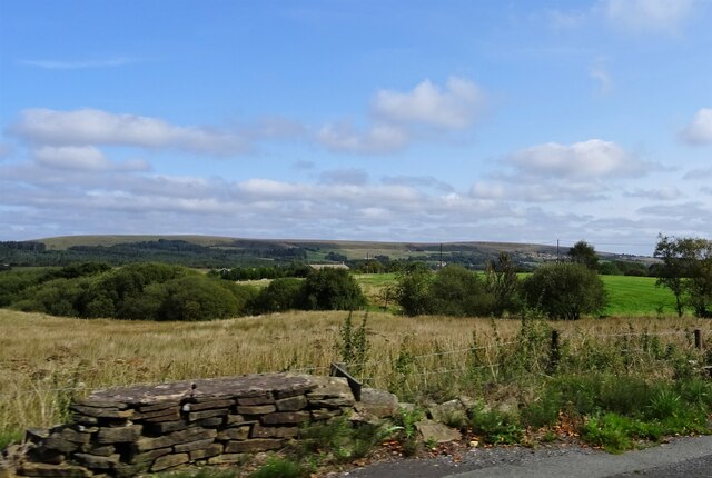
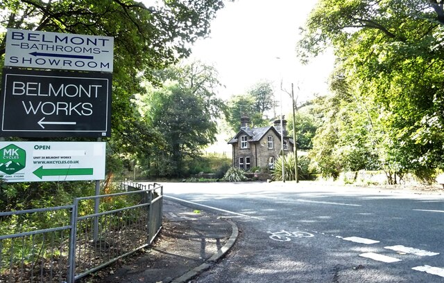
Longworth Hall Plantation Images
Images are sourced within 2km of 53.636949/-2.4629818 or Grid Reference SD6915. Thanks to Geograph Open Source API. All images are credited.

Longworth Hall Plantation is located at Grid Ref: SD6915 (Lat: 53.636949, Lng: -2.4629818)
Unitary Authority: Blackburn with Darwen
Police Authority: Lancashire
What 3 Words
///subplot.showed.spires. Near Edgworth, Lancashire
Nearby Locations
Related Wikis

A666 road
The A666 is a major road in Greater Manchester and Lancashire, England. == Route == The road runs from its junction with the A6, and A580 at the Irlams...

Dingle Reservoir
Dingle Reservoir is an artificial, low alkalinity, shallow reservoir near to the town of Egerton, Greater Manchester. The reservoir itself is a little...
Cheetham Close
Cheetham Close is a megalithic site and scheduled ancient monument located in Lancashire, very close to the boundary with Greater Manchester, England....

Belmont, Lancashire
Belmont is a village and former civil parish, now in the parish of North Turton, in the unitary authority area of Blackburn with Darwen, in the ceremonial...

Egerton, Greater Manchester
Egerton, (pronounced "edgerton"), is a village in the northern part of the Metropolitan Borough of Bolton, Greater Manchester, England. Historically a...
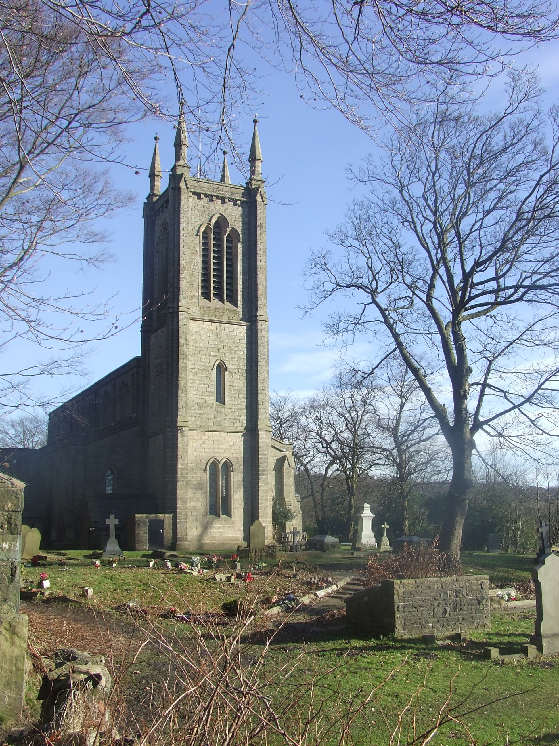
Christ Church, Walmsley
Christ Church is in Blackburn Road, Walmsley, Egerton, Greater Manchester, England. It is an active Church of England parish church in the deanery of Walmsley...

Belmont Reservoir
Belmont Reservoir is a reservoir north of the small moorland village of Belmont, Lancashire, England, fed by the Belmont Brook. It was built in 1826 by...

Ward's Reservoir
Ward's Reservoir (or Wards Reservoir), known locally as the Blue Lagoon, is a small reservoir close to the village of Belmont, Lancashire, England. It...
Nearby Amenities
Located within 500m of 53.636949,-2.4629818Have you been to Longworth Hall Plantation?
Leave your review of Longworth Hall Plantation below (or comments, questions and feedback).