Delph Reservoir

Lake, Pool, Pond, Freshwater Marsh in Lancashire

England

Delph Reservoir

Track  through Charter's Moss Plantation
Track through Charter's Moss Plantation Credit: Richard Webb

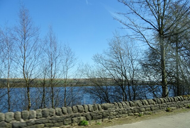
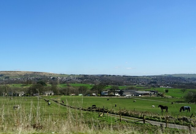
Delph Reservoir is a freshwater lake located in the county of Lancashire, England. Situated near the village of Delph, the reservoir covers an area of approximately 10 acres and is surrounded by picturesque countryside. It serves as a popular recreational spot for locals and visitors alike.

The reservoir was constructed in the late 19th century to meet the increasing demand for water supply in the region. It was created by damming a small river that flows through the area, resulting in the formation of the lake. The water is sourced from nearby streams and rainwater runoff, ensuring it remains clean and fresh.

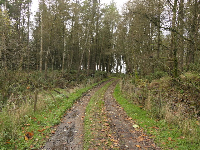
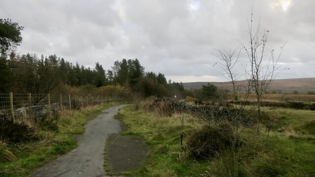
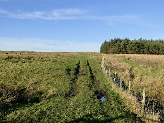
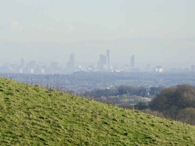
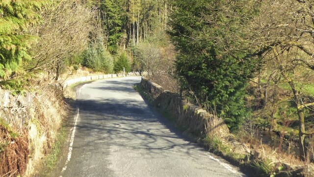
Delph Reservoir is known for its peaceful and tranquil atmosphere, making it an ideal destination for nature lovers and those seeking a quiet escape from the urban hustle. The surrounding area is characterized by lush greenery and offers stunning views of the Lancashire countryside.

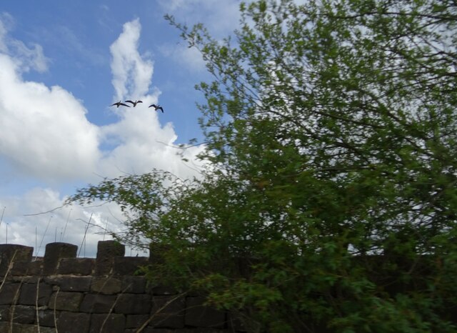
The reservoir is home to a variety of wildlife, including ducks, swans, and various species of fish. Anglers frequent the lake, as it provides an excellent fishing spot for trout and coarse fish. Fishing permits are required, and the reservoir is managed by a local angling club.

Visitors can enjoy leisurely walks around the reservoir, taking in the natural beauty of the surroundings. The area is also equipped with picnic spots and benches, allowing visitors to relax and enjoy a meal amidst the serene environment.

Overall, Delph Reservoir offers a peaceful retreat for nature enthusiasts and provides opportunities for fishing, walking, and enjoying the scenic beauty of Lancashire's countryside.

If you have any feedback on the listing, please let us know in the comments section below.

Delph Reservoir Images

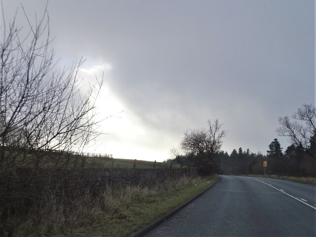
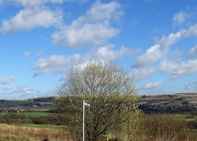
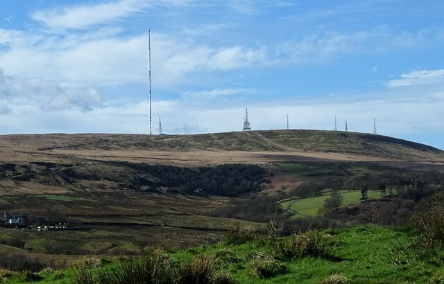
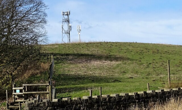
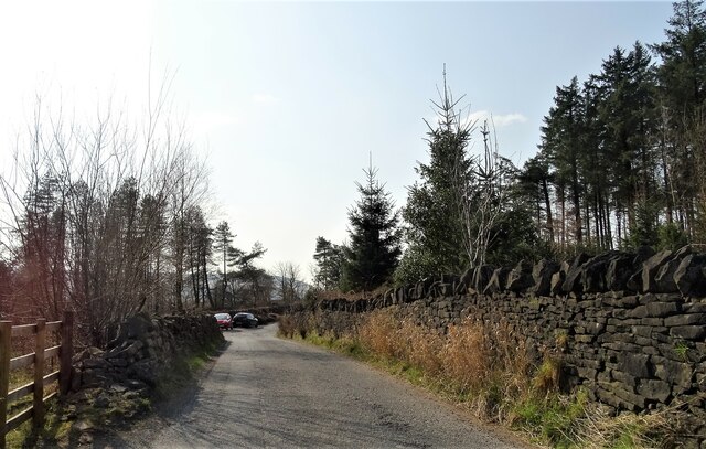
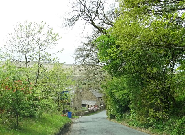
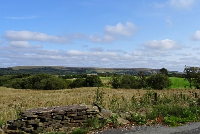
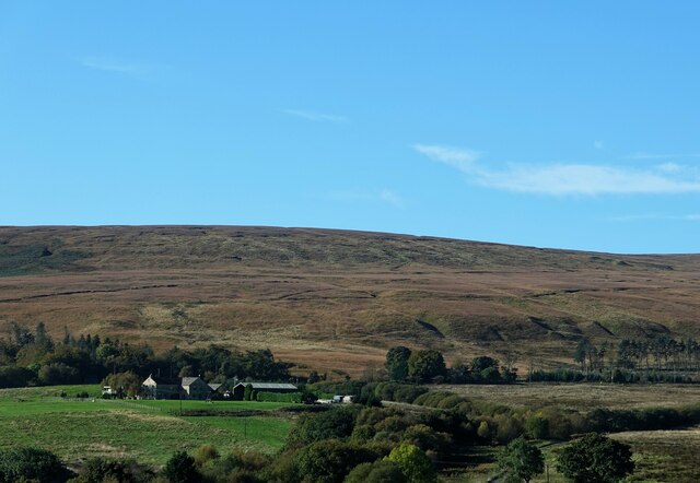
Images are sourced within 2km of 53.636438/-2.455505 or Grid Reference SD6915. Thanks to Geograph Open Source API. All images are credited.

Track  through Charter's Moss Plantation
Track through Charter's Moss Plantation
Derelict road A narrow ribbon of  tarmac on what is still mapped as a yellow road.
Derelict road
A narrow ribbon of tarmac on what is still mapped as a yellow road.
Field off Egerton Road Sheep graze in front of a background of the A675 passing Winter Hill.
Field off Egerton Road
Sheep graze in front of a background of the A675 passing Winter Hill.
Rough grazing Off Longworth Road North near Belmont. The now ubiquitous Herdwick sheep graze a rough pasture.
Rough grazing
Off Longworth Road North near Belmont. The now ubiquitous Herdwick sheep graze a rough pasture.
Skyscrapers amongst the moors View over a shoulder of Great Robert Hill towards a rather futuristic skyline.  Not been there for a while, and I don't remember so many skyscrapers. Not sure about the city - both Manchester and Salford?
Skyscrapers amongst the moors
View over a shoulder of Great Robert Hill towards a rather futuristic skyline. Not been there for a while, and I don't remember so many skyscrapers. Not sure about the city - both Manchester and Salford?
Sunlight breaking through A touch of sunlight on a slightly overcast day on the A666 north of Egerton.
Sunlight breaking through
A touch of sunlight on a slightly overcast day on the A666 north of Egerton.
A view from Scout Road Springs reservoir is to the left and the village of Egerton is to the right.
A view from Scout Road
Springs reservoir is to the left and the village of Egerton is to the right.
Winter Hill From Longworth Road.
Winter Hill
From Longworth Road.
Great Robert Hill A high point near Belmont suitable for the siting of communications masts.
Great Robert Hill
A high point near Belmont suitable for the siting of communications masts.
Stones Bank Road A narrow lane between the villages of Egerton and Belmont.
Stones Bank Road
A narrow lane between the villages of Egerton and Belmont.
Wittons Farmhouse On Egerton Road near Belmont.
Wittons Farmhouse
On Egerton Road near Belmont.
Fields off Belmont Road If the field nearest the camera position is used as pasture, I am not aware of it.
Fields off Belmont Road
If the field nearest the camera position is used as pasture, I am not aware of it.
A view from Longworth Road Looking towards Higher Fold Farm and Smithills Moor.
A view from Longworth Road
Looking towards Higher Fold Farm and Smithills Moor.
Google street view car Collecting images on Longworth Road.
Google street view car
Collecting images on Longworth Road.
Stones Bank Road Approaching the bridge which carries the road over Stones Bank Brook.
Stones Bank Road
Approaching the bridge which carries the road over Stones Bank Brook.
Springs Reservoir The water level is high and must be nearly at capacity.
Springs Reservoir
The water level is high and must be nearly at capacity.
Grazing horses On Gale and Fernhill farms off the A675.
Grazing horses
On Gale and Fernhill farms off the A675.
Three geese Over Delph Reservoir on Longworth Road.
Three geese
Over Delph Reservoir on Longworth Road.
Show me another place!

Delph Reservoir is located at Grid Ref: SD6915 (Lat: 53.636438, Lng: -2.455505)

Unitary Authority: Blackburn with Darwen

Police Authority: Lancashire

What 3 Words

///finds.publisher.behalf. Near Edgworth, Lancashire

Related Wikis

A666 road

The A666 is a major road in Greater Manchester and Lancashire, England. == Route == The road runs from its junction with the A6, and A580 at the Irlams...

Dingle Reservoir

Dingle Reservoir is an artificial, low alkalinity, shallow reservoir near the town of Egerton, Greater Manchester. It is a little under 400 metres from...

Cheetham Close

Cheetham Close is a megalithic site and scheduled ancient monument located in Lancashire, very close to the boundary with Greater Manchester, England....

Egerton, Greater Manchester

Egerton, (pronounced "edgerton"), is a village in the northern part of the Metropolitan Borough of Bolton, Greater Manchester, England. Historically a...

Nearby Amenities

Located within 500m of 53.636438,-2.455505
The data included in this document is from www.openstreetmap.org. The data is made available under ODbL.

Have you been to Delph Reservoir?

Leave your review of Delph Reservoir below (or comments, questions and feedback).