Longworth Clough
Valley in Lancashire
England
Longworth Clough
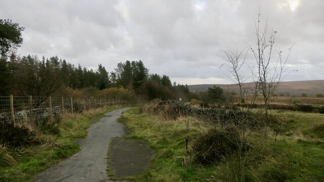
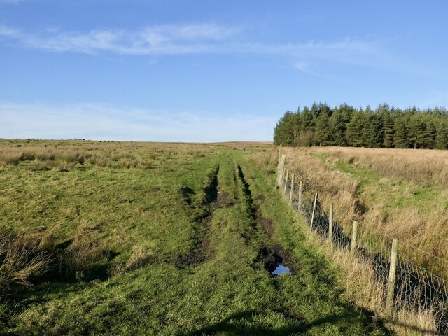
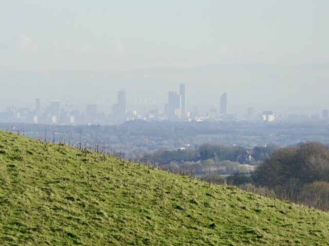
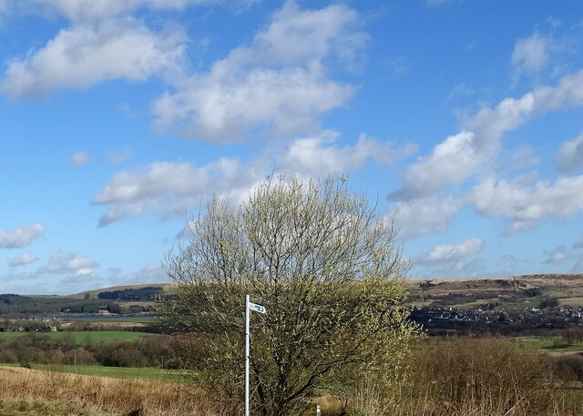
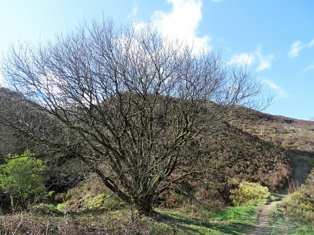
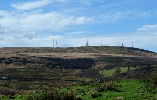
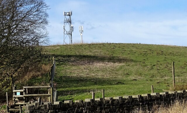
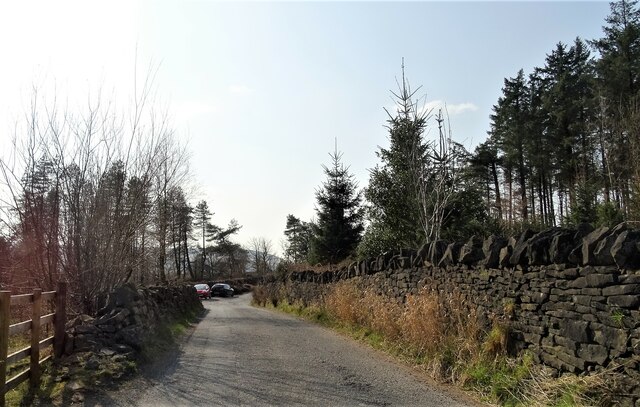
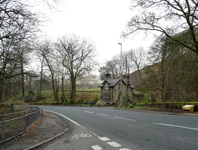
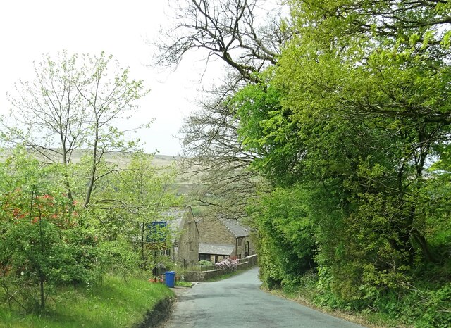
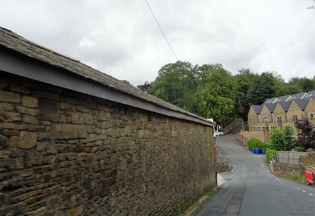
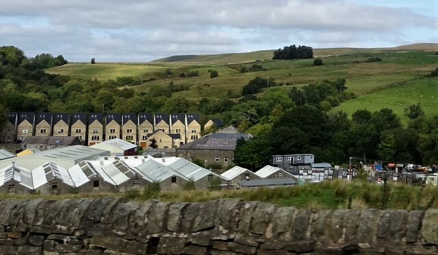
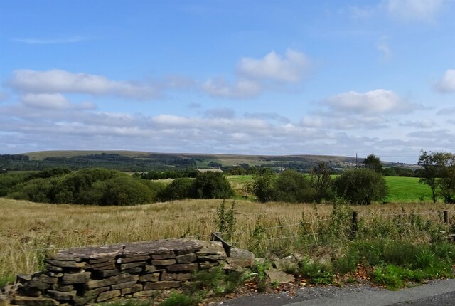
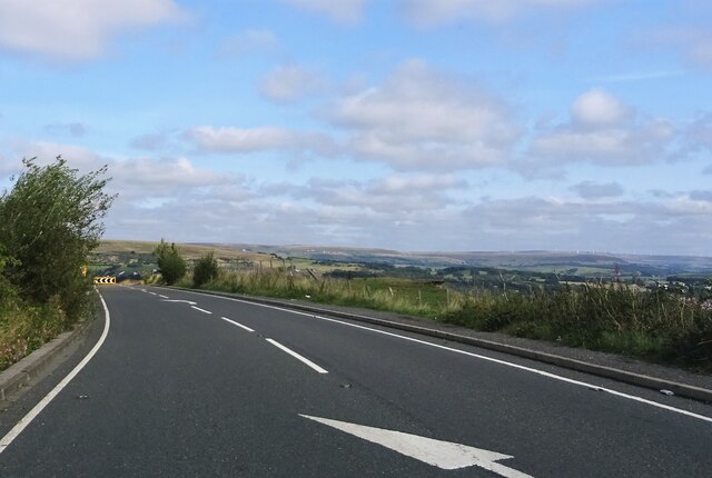
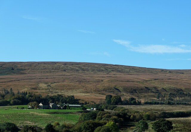
Longworth Clough is a picturesque valley located in the county of Lancashire, England. Situated near the town of Bolton, it is known for its stunning natural beauty and tranquil atmosphere. The valley is nestled within the West Pennine Moors, offering visitors a glimpse of the region's diverse landscape.
Longworth Clough boasts a rich history, with evidence of human activity dating back to the prehistoric era. The valley was once home to ancient settlements, and remnants of these can still be seen today. The area is also steeped in folklore and legends, adding to its mystique.
Nature enthusiasts are drawn to Longworth Clough for its abundant wildlife and diverse flora. The valley is a haven for birdwatching, with numerous species inhabiting the area. Visitors can also spot small mammals, such as rabbits and squirrels, scurrying about.
The valley features a network of walking trails, allowing visitors to explore its beauty on foot. These paths wind through lush woodlands, alongside babbling brooks, and up to breathtaking viewpoints. Hiking in Longworth Clough provides an opportunity to disconnect from the hustle and bustle of everyday life and immerse oneself in nature's tranquility.
In addition to its natural attractions, Longworth Clough offers amenities for visitors, including picnic areas and parking facilities. The valley also hosts various events throughout the year, such as guided nature walks and educational programs for children.
Overall, Longworth Clough is a hidden gem in Lancashire, offering a peaceful retreat for those seeking solace in nature's embrace.
If you have any feedback on the listing, please let us know in the comments section below.
Longworth Clough Images
Images are sourced within 2km of 53.63235/-2.4644739 or Grid Reference SD6915. Thanks to Geograph Open Source API. All images are credited.

Longworth Clough is located at Grid Ref: SD6915 (Lat: 53.63235, Lng: -2.4644739)
Unitary Authority: Blackburn with Darwen
Police Authority: Lancashire
What 3 Words
///tokens.harvest.wasps. Near Edgworth, Lancashire
Nearby Locations
Related Wikis

Dingle Reservoir
Dingle Reservoir is an artificial, low alkalinity, shallow reservoir near to the town of Egerton, Greater Manchester. The reservoir itself is a little...

A666 road
The A666 is a major road in Greater Manchester and Lancashire, England. == Route == The road runs from its junction with the A6, and A580 at the Irlams...
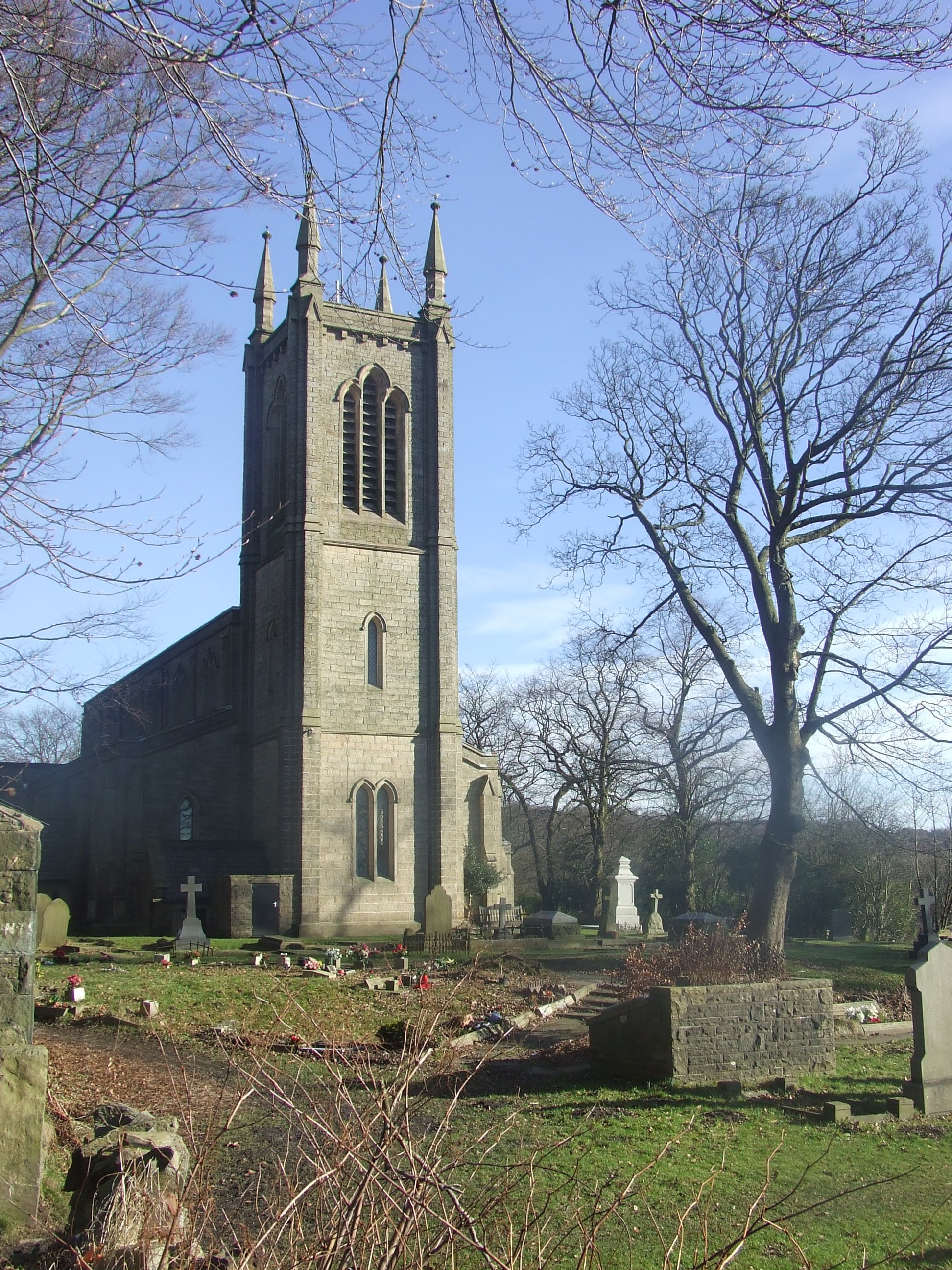
Christ Church, Walmsley
Christ Church is in Blackburn Road, Walmsley, Egerton, Greater Manchester, England. It is an active Church of England parish church in the deanery of Walmsley...

Egerton, Greater Manchester
Egerton, (pronounced "edgerton"), is a village in the northern part of the Metropolitan Borough of Bolton, Greater Manchester, England. Historically a...

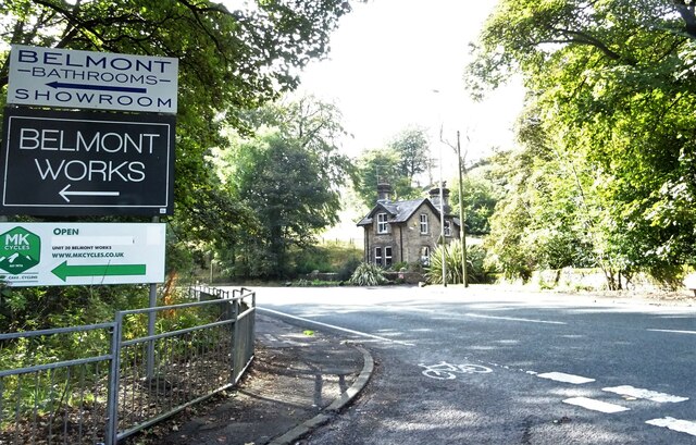
Belmont, Lancashire
Belmont is a village and former civil parish, now in the parish of North Turton, in the unitary authority area of Blackburn with Darwen, in the ceremonial...
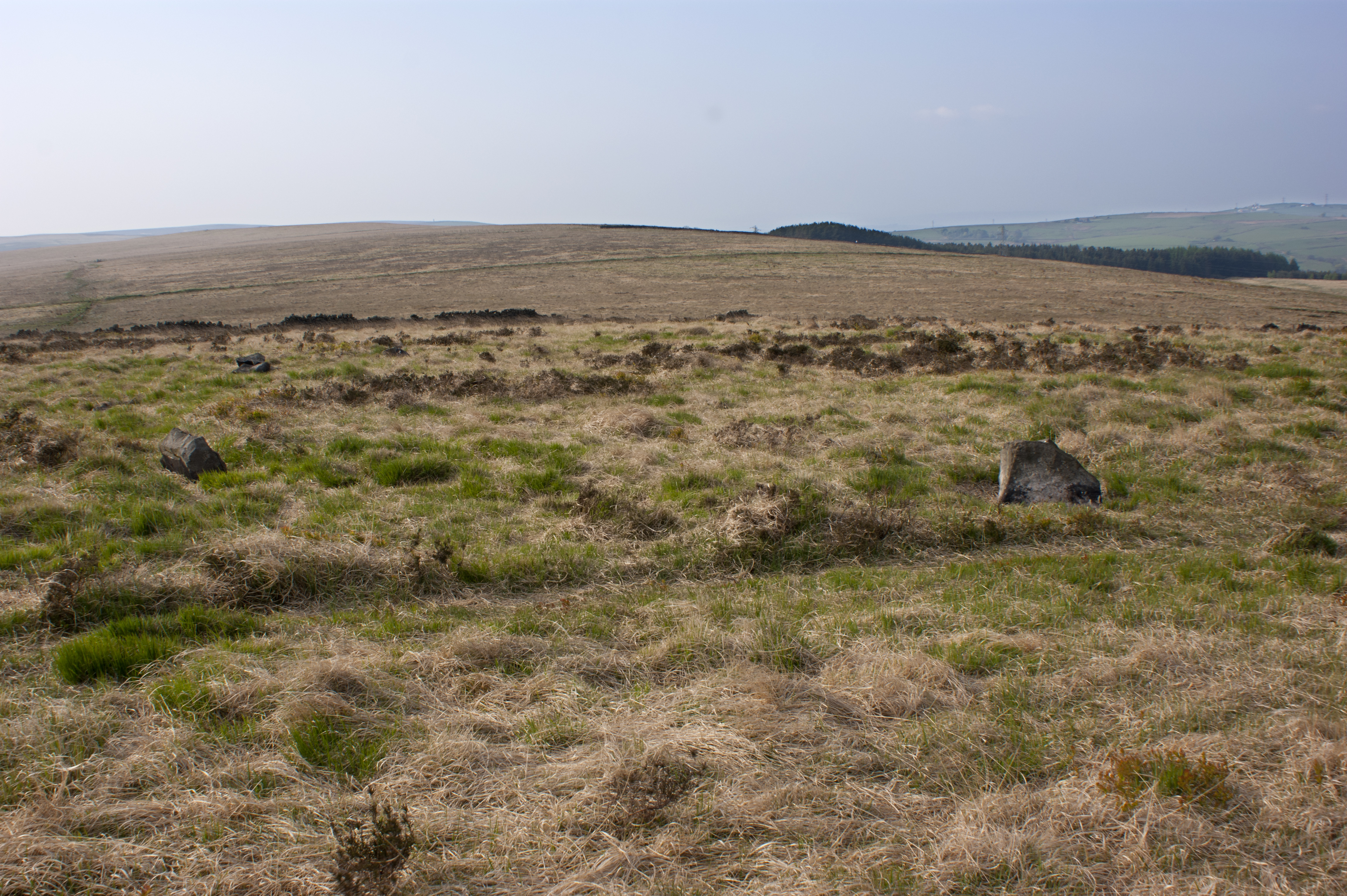
Cheetham Close
Cheetham Close is a megalithic site and scheduled ancient monument located in Lancashire, very close to the boundary with Greater Manchester, England....

Dean Mills Reservoir
Dean Mills Reservoir is a small water reservoir to the north of the town of Bolton, Greater Manchester located high on the slopes of Winter Hill. The reservoir...

Belmont Reservoir
Belmont Reservoir is a reservoir north of the small moorland village of Belmont, Lancashire, England, fed by the Belmont Brook. It was built in 1826 by...
Nearby Amenities
Located within 500m of 53.63235,-2.4644739Have you been to Longworth Clough?
Leave your review of Longworth Clough below (or comments, questions and feedback).