Mean Cleugh

Valley in East Lothian

Scotland

Mean Cleugh

Storm Arwen damage The road has been cleared but there are many fallen trees to be removed.
Storm Arwen damage Credit: Russel Wills

Mean Cleugh is a picturesque valley located in East Lothian, Scotland. Nestled amidst rolling green hills, it offers a tranquil and scenic retreat for nature enthusiasts and those seeking respite from the bustling city life. The valley is situated near the historic village of Gifford, approximately 20 miles southeast of Edinburgh.

The name "Mean Cleugh" is derived from the Scots language, with "Mean" meaning "middle" and "Cleugh" referring to a narrow valley or ravine. The valley itself is characterized by a small river that meanders through the landscape, adding to its charm and beauty. Lush vegetation, including patches of woodland and wildflowers, further enhances the natural splendor of the area.

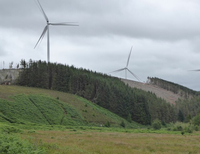
The valley is home to an array of wildlife, with several species of birds, mammals, and insects inhabiting its diverse ecosystem. It serves as an important habitat for various bird species, making it a popular destination for birdwatchers. Visitors may catch glimpses of species such as the Eurasian curlew, common buzzard, and European stonechat.

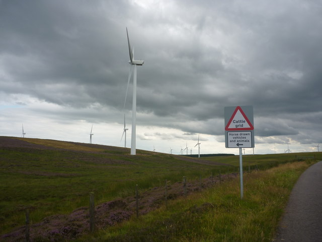
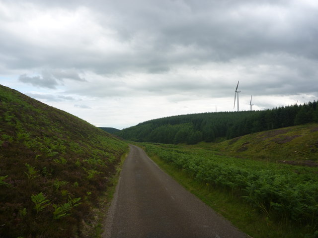
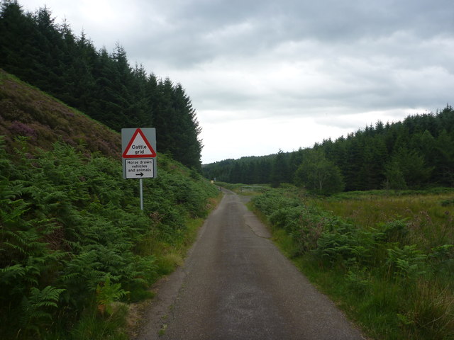
Mean Cleugh also offers opportunities for outdoor activities, such as hiking and picnicking. The surrounding countryside provides numerous walking trails, allowing visitors to explore the valley's natural wonders at their own pace. The peaceful atmosphere and breathtaking vistas make it an ideal spot for a leisurely stroll or a family outing.

In conclusion, Mean Cleugh is an idyllic valley in East Lothian, Scotland, renowned for its natural beauty and wildlife. Whether visitors are seeking solitude in nature or looking to engage in outdoor activities, this valley provides an enchanting escape from the pressures of everyday life.

If you have any feedback on the listing, please let us know in the comments section below.
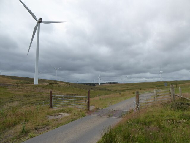
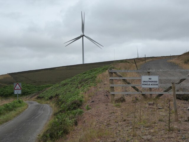
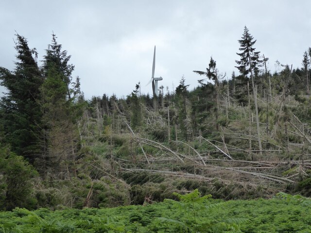
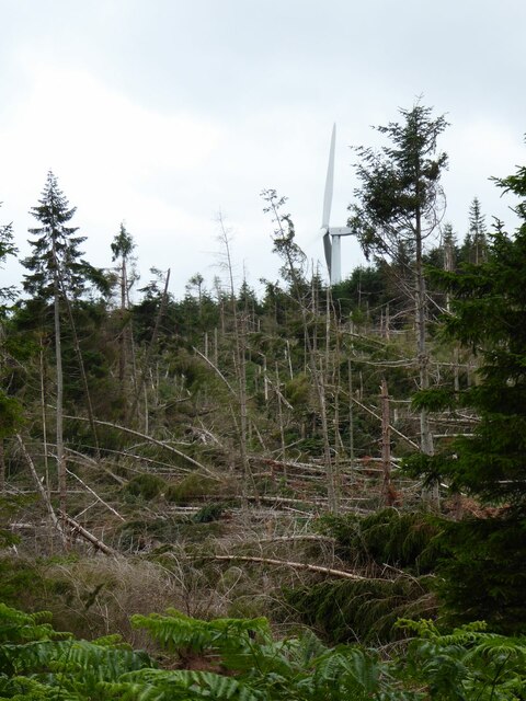
Mean Cleugh Images

Images are sourced within 2km of 55.905604/-2.4914874 or Grid Reference NT6968. Thanks to Geograph Open Source API. All images are credited.

Storm Arwen damage The road has been cleared but there are many fallen trees to be removed.
Storm Arwen damage
The road has been cleared but there are many fallen trees to be removed.
Cut timber left to rot This may be good for invertebrae and minibeasts but appears to be caused by bad management.
Cut timber left to rot
This may be good for invertebrae and minibeasts but appears to be caused by bad management.
Road junction In Upper Monynut Forest.
With prolific bracken.
Road junction
In Upper Monynut Forest. With prolific bracken.
Is that a sign in the bracken? Let's take a closer look!
Is that a sign in the bracken?
Let's take a closer look!
Yes - it is a road sign We will go the only other way!
Yes - it is a road sign
We will go the only other way!
Wind turbines in White Cleugh Part of the Crystal Rig Wind Farm.
With wind blown trees in the forest.
Wind turbines in White Cleugh
Part of the Crystal Rig Wind Farm. With wind blown trees in the forest.
Cattle grid and wind turbines At West Steel in the Lammermuir Hills.
Cattle grid and wind turbines
At West Steel in the Lammermuir Hills.
No Unauthorised Vehicle Access Miles of roads for building and maintaining the turbines but you cannot drive on them!  You can walk though.
No Unauthorised Vehicle Access
Miles of roads for building and maintaining the turbines but you cannot drive on them! You can walk though.
Wind turbine On Saddle Hill.
With lots of wind fall forestry.
Wind turbine
On Saddle Hill. With lots of wind fall forestry.
Access road  With wind turbines on Monynut Edge.
Access road
With wind turbines on Monynut Edge.
Storm Arwen damage In the forest beside Monynut Water.
A wind turbine turns beyond the damage.
Storm Arwen damage
In the forest beside Monynut Water. A wind turbine turns beyond the damage.
Wind turbines above the clear fell In the valley of Monynut Water.
Wind turbines above the clear fell
In the valley of Monynut Water.
East Lothian Landscape : Crossing The Lammermuirs Near West Steel The formerly soothing and serene Lammermuir Hills have been abused and destroyed by all these bloody windfarms!
East Lothian Landscape : Crossing The Lammermuirs Near West Steel
The formerly soothing and serene Lammermuir Hills have been abused and destroyed by all these bloody windfarms!
Rural East Lothian : On A Lammermuir Road Near White Cleuch Heading towards Monynut Forest.
Rural East Lothian : On A Lammermuir Road Near White Cleuch
Heading towards Monynut Forest.
Rural East Lothian : Approaching Monynut Forest Heading south on the minor road over the Lammermuirs from Elmscleugh to Cranshaws.
Rural East Lothian : Approaching Monynut Forest
Heading south on the minor road over the Lammermuirs from Elmscleugh to Cranshaws.
Rural East Lothian : County Boundary In The Monynut Forest I suppose that, technically speaking, it is no longer a county boundary but a unitary authority boundary that crosses the road under that concrete strip.

At this point, the boundary between East Lothian (formerly the county of East Lothian; before that Haddingtonshire) and the Scottish Borders (formerly Berwickshire in this area) follows the course of the Monynut Water, which flows from right to left in a culvert under the road.

The viewer is standing in East Lothian, the hill ahead is in the Scottish Borders.
Rural East Lothian : County Boundary In The Monynut Forest
I suppose that, technically speaking, it is no longer a county boundary but a unitary authority boundary that crosses the road under that concrete strip. At this point, the boundary between East Lothian (formerly the county of East Lothian; before that Haddingtonshire) and the Scottish Borders (formerly Berwickshire in this area) follows the course of the Monynut Water, which flows from right to left in a culvert under the road. The viewer is standing in East Lothian, the hill ahead is in the Scottish Borders.
Rural Berwickshire : The Road Junction in The Monynut Forest The roads ahead both meet the B6355 near Cranshaws. The road behind the viewer crosses the crest of the Lammermuirs and heads towards the Dunbar district, via Elmscleugh.
Rural Berwickshire : The Road Junction in The Monynut Forest
The roads ahead both meet the B6355 near Cranshaws. The road behind the viewer crosses the crest of the Lammermuirs and heads towards the Dunbar district, via Elmscleugh.
Rural Berwickshire : Leaving the Monynut Forest Heading towards Crichness.
Rural Berwickshire : Leaving the Monynut Forest
Heading towards Crichness.
Show me another place!

Mean Cleugh is located at Grid Ref: NT6968 (Lat: 55.905604, Lng: -2.4914874)

Unitary Authority: East Lothian

Police Authority: The Lothians and Scottish Borders

What 3 Words

///forkful.deform.often. Near Dunbar, East Lothian

Related Wikis

Nearby Amenities

Located within 500m of 55.905604,-2.4914874
Generator Method: wind_turbine
Generator Source: wind
Generator Type: horizontal_axis
Power: generator
Lat/Long: 55.9037214/-2.4871373
Generator Method: wind_turbine
Generator Source: wind
Generator Type: horizontal_axis
Power: generator
Lat/Long: 55.9068066/-2.4842727
The data included in this document is from www.openstreetmap.org. The data is made available under ODbL.

Have you been to Mean Cleugh?

Leave your review of Mean Cleugh below (or comments, questions and feedback).