Fox Clough
Valley in Yorkshire Ribble Valley
England
Fox Clough
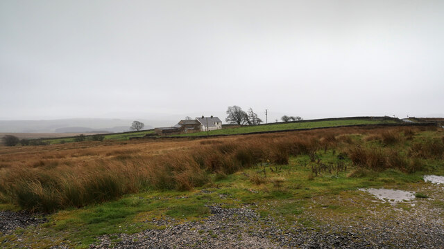
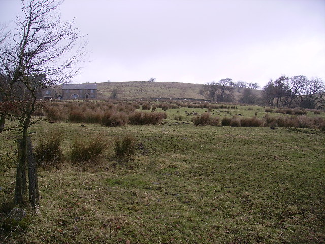
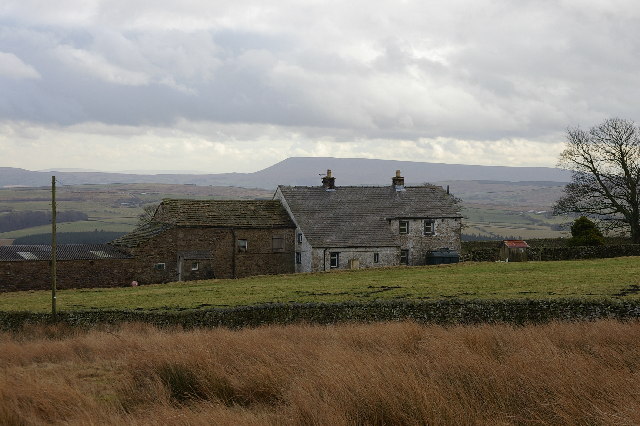
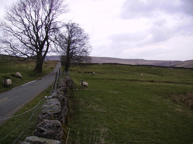
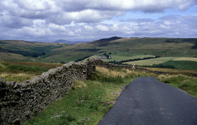
Fox Clough is a picturesque valley located in Yorkshire, England. Situated in the heart of the Yorkshire Dales National Park, it is renowned for its natural beauty and tranquil atmosphere. The valley is named after the Fox River that runs through it, adding to its charm and allure.
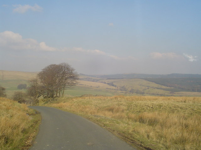
Surrounded by rolling hills and lush greenery, Fox Clough offers a haven for nature enthusiasts and hikers alike. The valley is adorned with meandering footpaths, providing visitors with the opportunity to explore its stunning landscapes, including babbling brooks, ancient woodlands, and wildflower meadows. The diverse flora and fauna of the area make it a haven for birdwatchers and wildlife enthusiasts.
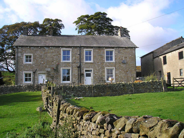
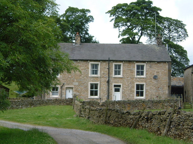
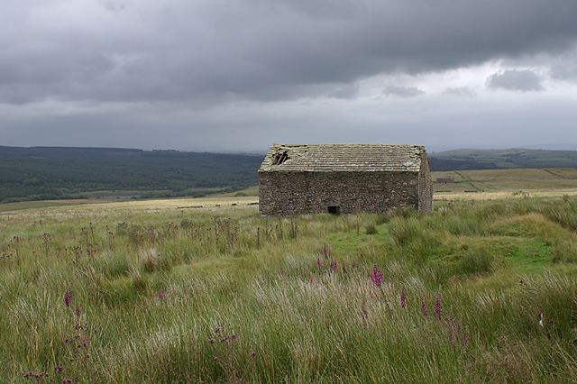
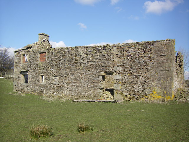
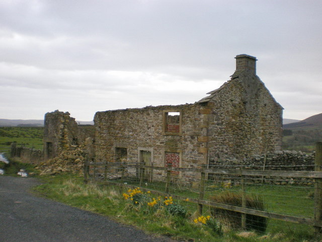
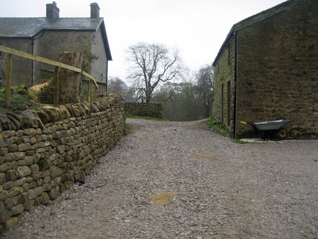
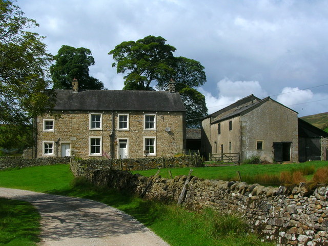
The valley is also home to a variety of historical and cultural landmarks, adding to its appeal. Ruins of old stone barns and traditional farmhouses dot the landscape, serving as a reminder of the area's rich agricultural history. Visitors can also discover the remnants of ancient settlements and stone circles, offering insight into the past inhabitants of Fox Clough.
For those seeking a peaceful retreat, Fox Clough offers a range of accommodation options. Charming country inns and cozy bed and breakfasts provide a comfortable base from which to explore the surrounding area. Additionally, the nearby villages offer a selection of quaint shops and traditional pubs, allowing visitors to experience the local culture and hospitality.
In conclusion, Fox Clough is a stunning valley in Yorkshire that encapsulates the natural beauty and charm of the Yorkshire Dales. Its scenic landscapes, rich history, and peaceful ambiance make it a must-visit destination for nature lovers and those seeking a tranquil retreat.
If you have any feedback on the listing, please let us know in the comments section below.
Fox Clough Images
Images are sourced within 2km of 54.003385/-2.4689482 or Grid Reference SD6956. Thanks to Geograph Open Source API. All images are credited.


Fox Clough is located at Grid Ref: SD6956 (Lat: 54.003385, Lng: -2.4689482)
Division: West Riding
Administrative County: Lancashire
District: Ribble Valley
Police Authority: Lancashire
What 3 Words
///daydream.turkey.tinned. Near High Bentham, North Yorkshire
Nearby Locations
Related Wikis

Geography of the United Kingdom
The United Kingdom is a sovereign state located off the north-western coast of continental Europe. With a total area of approximately 248,532 square kilometres...

White Hill (Forest of Bowland)
White Hill is a hill in the Forest of Bowland, north-western England. It lies between Slaidburn and High Bentham. The summit houses a tower and a trig...

Stocks Reservoir
Stocks Reservoir is a reservoir situated at the head of the Hodder valley in the Forest of Bowland, Lancashire, England (historically in the West Riding...

Easington, Lancashire
Easington () is a civil parish within the Ribble Valley district of Lancashire, England, with a population in 2001 of 52. The Census 2011 population details...

Lancashire Witches Walk
The Lancashire Witches Walk is a 51-mile (82 km) long-distance footpath opened in 2012, between Barrowford and Lancaster, all in Lancashire, England. It...

King's House, Slaidburn
King's House is a Grade II listed building in Slaidburn, Lancashire, England, now used as a youth hostel. It was originally built in the 18th century,...

Slaidburn
Slaidburn () is a village and civil parish within the Ribble Valley district of Lancashire, England. The parish covers just over 5,000 acres of the Forest...

St Andrew's Church, Slaidburn
St Andrew's Church is in Church Street, Slaidburn, Lancashire, England. It is an active Anglican parish church in the deanery of Bowland, the archdeaconry...
Have you been to Fox Clough?
Leave your review of Fox Clough below (or comments, questions and feedback).