Fletcher's Pool
Lake, Pool, Pond, Freshwater Marsh in Shropshire
England
Fletcher's Pool
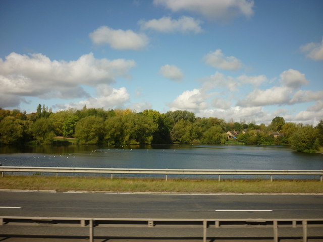
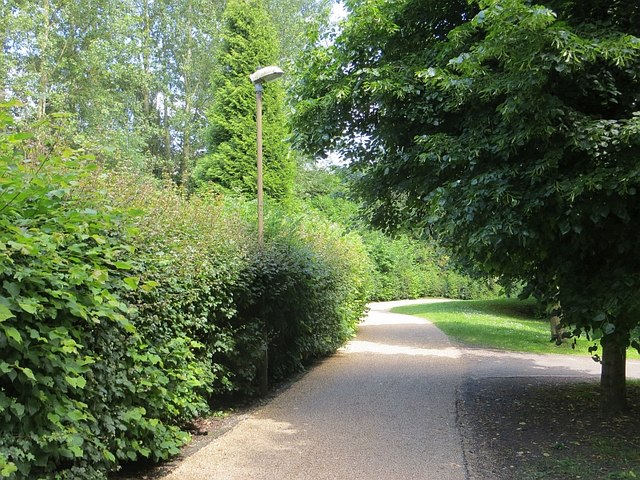
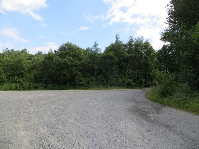
Fletcher's Pool is a picturesque water body located in the county of Shropshire, England. This freshwater marsh, often referred to as a lake, pool, or pond, is nestled amidst the beautiful countryside and offers a serene and tranquil environment for visitors to enjoy.
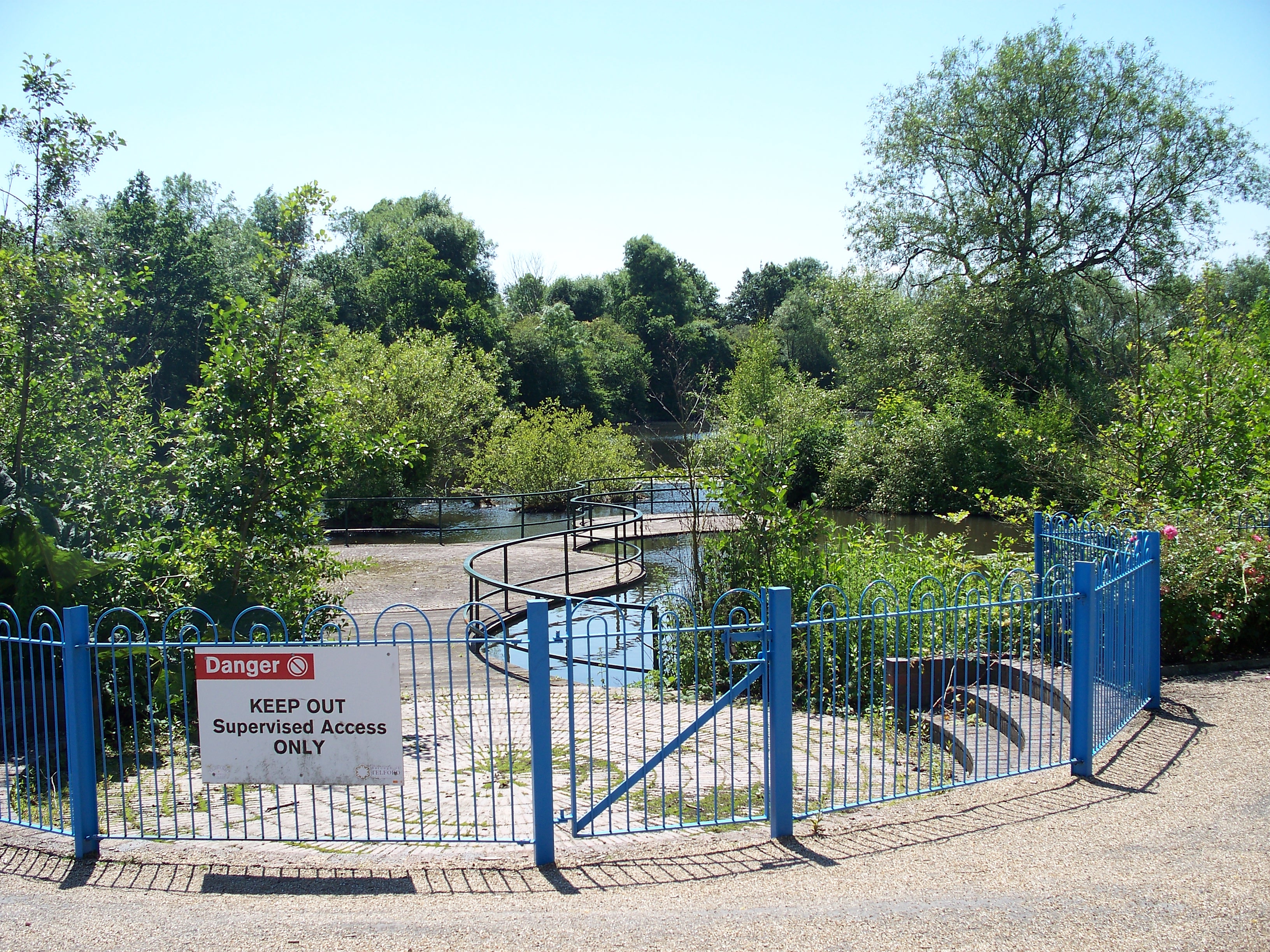
Covering an area of approximately 2 acres, Fletcher's Pool is surrounded by lush greenery, with tall reeds and diverse vegetation adorning its banks. The pool is fed by natural springs and rainwater runoff, ensuring a constant supply of fresh water throughout the year. Its shallow depth and calm waters make it an ideal habitat for a variety of aquatic organisms, including fish, frogs, and waterfowl.
The pool is renowned for its rich biodiversity, attracting nature enthusiasts and birdwatchers who flock to observe the numerous species that call this place home. Visitors can spot a range of water birds such as mallards, coots, moorhens, and herons, among others. Additionally, dragonflies and damselflies can be seen darting above the water, adding to the enchanting ambiance.
Surrounded by rolling hills and meadows, Fletcher's Pool offers a tranquil escape for those seeking solace in nature. The calm and peaceful atmosphere, coupled with the breathtaking scenery, makes it a popular spot for picnics, leisurely walks, and wildlife photography.
Whether one is a nature lover, a birdwatcher, or simply seeking a peaceful retreat, Fletcher's Pool in Shropshire provides a haven for all. Its natural beauty and diverse ecosystem make it a must-visit destination for anyone looking to immerse themselves in the serenity of the British countryside.
If you have any feedback on the listing, please let us know in the comments section below.
Fletcher's Pool Images
Images are sourced within 2km of 52.66133/-2.4453403 or Grid Reference SJ6907. Thanks to Geograph Open Source API. All images are credited.
Fletcher's Pool is located at Grid Ref: SJ6907 (Lat: 52.66133, Lng: -2.4453403)
Unitary Authority: Telford and Wrekin
Police Authority: West Mercia
What 3 Words
///neater.liners.blink. Near Telford, Shropshire
Nearby Locations
Related Wikis
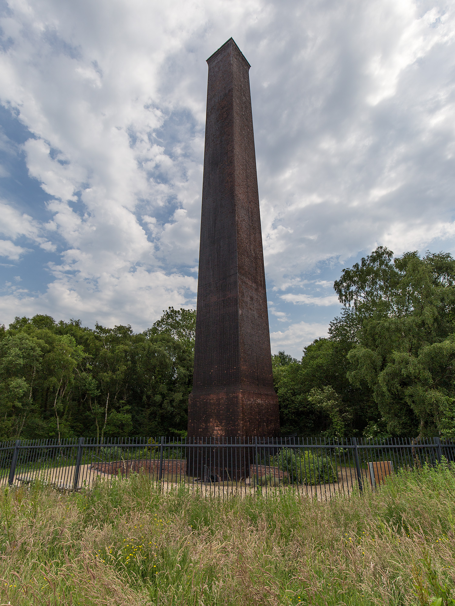
Stirchley Chimney
Stirchley Chimney is a chimney located in Telford Town Park. The chimney also marks a notable waypoint on the South Telford Heritage Trail. Measuring 209...
Telford Town Park
Telford Town Park is a park and Local Nature Reserve in Telford in Shropshire. In 2015, it was voted "UK's Best Park" in the inaugural public competition...
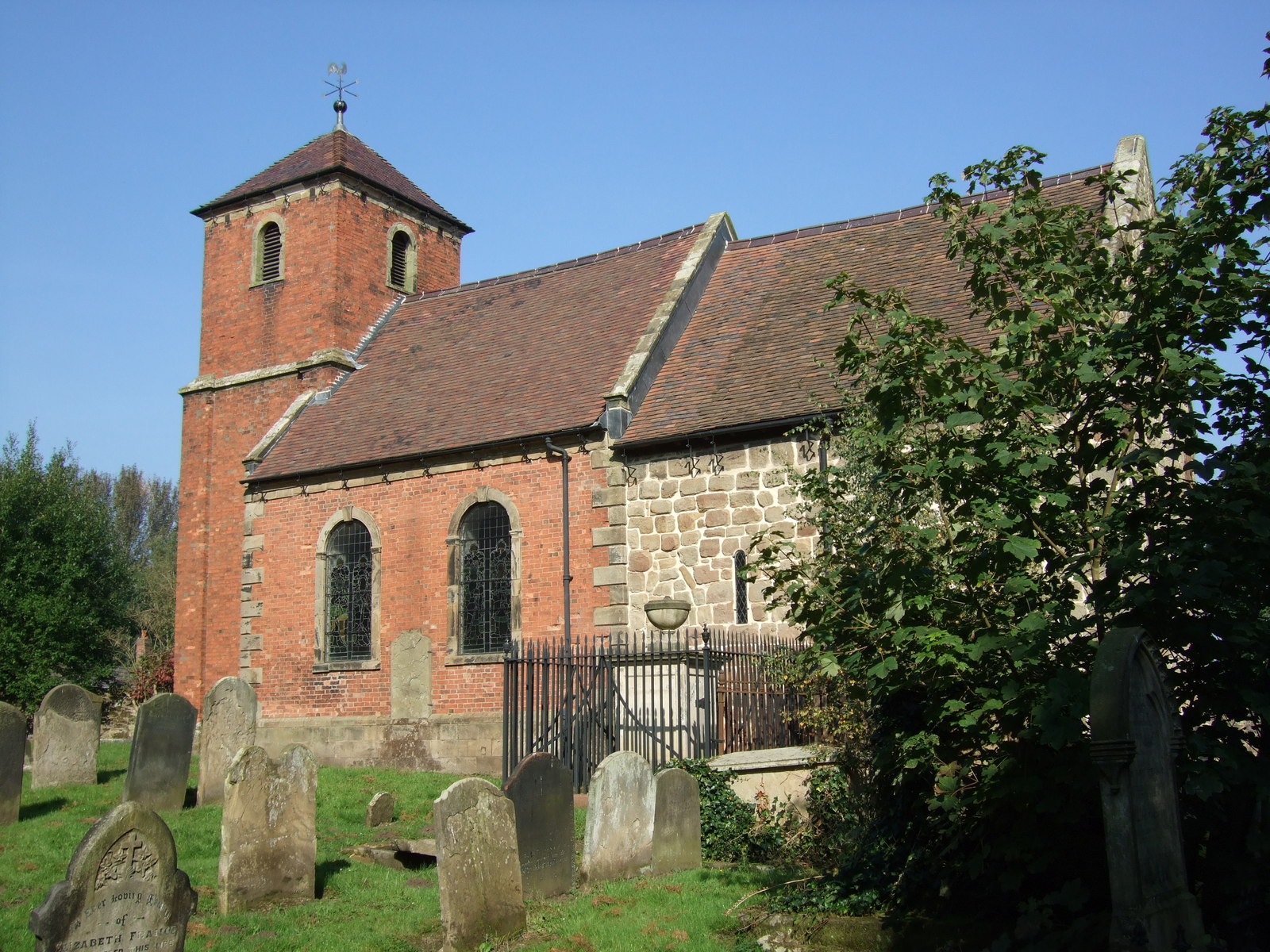
St James' Church, Stirchley
St James' Church is a redundant Anglican church in Stirchley, Shropshire, England. The church is recorded in the National Heritage List for England as...

Dawley and Stirchley railway station
Dawley and Stirchley railway station was a station in Dawley, Shropshire, England. The station was opened in 1861 and closed in 1952. == References... ==
Nearby Amenities
Located within 500m of 52.66133,-2.4453403Have you been to Fletcher's Pool?
Leave your review of Fletcher's Pool below (or comments, questions and feedback).