Bloody Breeks
Lake, Pool, Pond, Freshwater Marsh in Roxburghshire
Scotland
Bloody Breeks

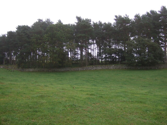
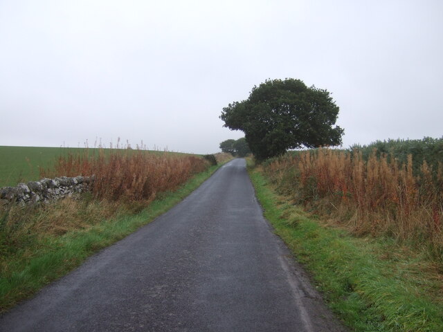
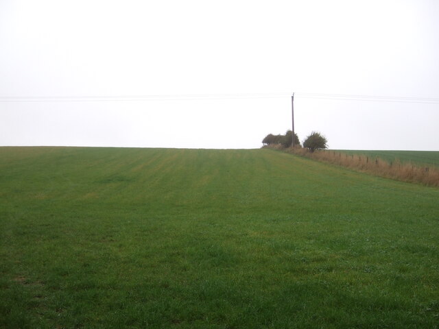
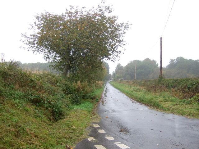
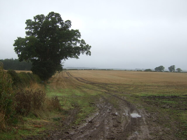
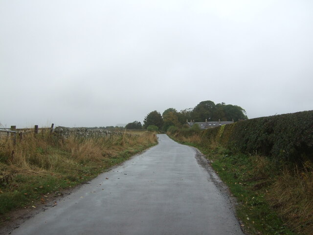
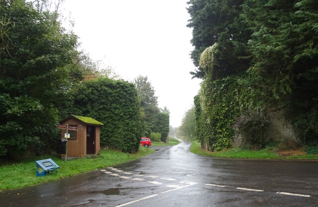
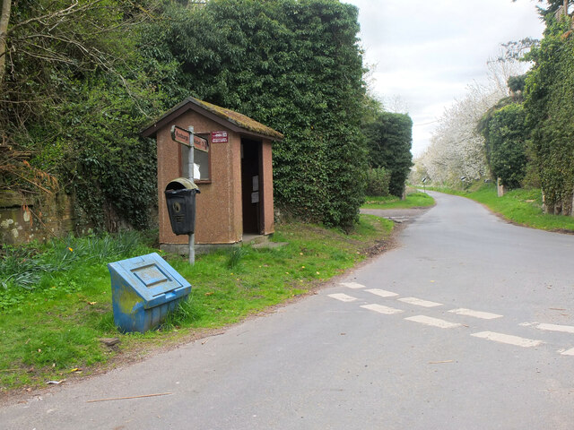
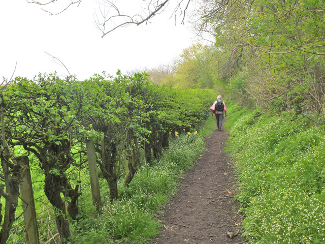
Bloody Breeks, situated in Roxburghshire, is a picturesque freshwater marsh that encompasses a variety of bodies of water, including a lake, pool, pond, and marsh. Located amidst the stunning Scottish Borders region, this natural treasure offers a diverse ecosystem and breathtaking views.
The centerpiece of Bloody Breeks is its expansive lake, which spans several acres and is surrounded by lush vegetation. The lake is home to an array of waterfowl, such as ducks, geese, and swans, that gracefully glide across its calm surface. Additionally, the lake supports a healthy population of fish, attracting anglers from far and wide.
Adjacent to the lake is a smaller pool, characterized by its shallow depth and crystal-clear waters. This secluded spot offers a tranquil setting for swimming, paddling, or simply enjoying the serene surroundings. The pool is also a popular spot for birdwatchers, who can observe various species nesting and feeding in the area.
Further into the marsh, visitors will find a peaceful pond enveloped by reeds and other aquatic plants. This smaller body of water is a haven for amphibians, with frogs and newts commonly spotted along its edges. The pond is a habitat teeming with life, providing a rich food source for many birds and small mammals.
The entire area of Bloody Breeks is a haven for wildlife, attracting an array of animals and insects that thrive in this diverse ecosystem. The marshland acts as a natural filter, purifying the water and creating a healthy environment for the various species that call it home.
Bloody Breeks, Roxburghshire, offers a unique opportunity to connect with nature and appreciate the beauty of the Scottish countryside. Whether it's birdwatching, fishing, or simply immersing oneself in the peaceful ambiance, this natural gem is a must-visit destination for nature enthusiasts and those looking to unwind in a serene setting.
If you have any feedback on the listing, please let us know in the comments section below.
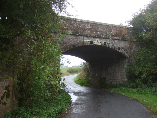
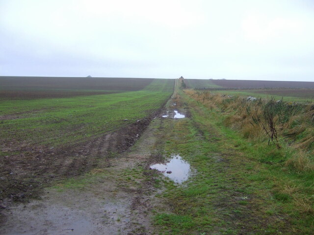
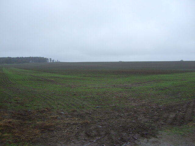
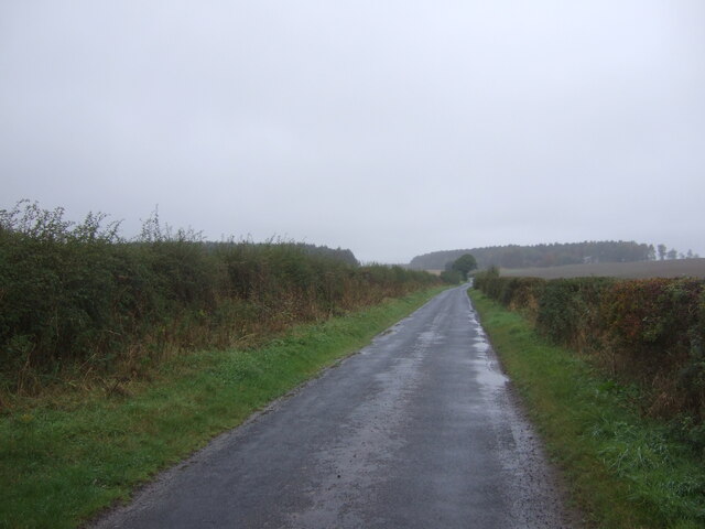
Bloody Breeks Images
Images are sourced within 2km of 55.560933/-2.4775976 or Grid Reference NT6929. Thanks to Geograph Open Source API. All images are credited.

Bloody Breeks is located at Grid Ref: NT6929 (Lat: 55.560933, Lng: -2.4775976)
Unitary Authority: The Scottish Borders
Police Authority: The Lothians and Scottish Borders
What 3 Words
///shrug.exhaled.electric. Near Maxwellheugh, Scottish Borders
Nearby Locations
Related Wikis

Wallace's Tower
Wallace's Tower is a ruined 16th-century L-plan tower house, about 3 miles (4.8 km) south west Kelso, Scottish Borders, Scotland, in Roxburgh, west of...

Roxburgh railway station
Roxburgh railway station was on the Kelso Line, and served the village of Roxburgh, Scottish Borders, from 1850 to 1964. == History == The station was...

Roxburgh (village)
Roxburgh (Gaelic, Rosbrog) is a village off the A699, by the River Teviot, near Kelso in the Scottish Borders area of Scotland. It should not be confused...

Kirkbank railway station
Kirkbank railway station served Old Ormiston, in the Scottish Borders, Scotland from 1856 to 1948 on the Jedburgh Railway. == History == The station opened...

Kalemouth
Kalemouth is a place in the Scottish Borders area of Scotland, where the Kale Water joins the River Teviot, near to Eckford, Cessford, Crailing, Kelso...

Kale Water
The Kale Water is a 20 miles (32 km) long tributary of the River Teviot in the Scottish Borders area of Scotland. Its feeder burns in the Cheviot Hills...

Eckford, Scottish Borders
Eckford is a small village located between the larger towns of Kelso and Jedburgh in the Scottish Borders. The village is in close proximity to both the...
Capture of Roxburgh (1314)
The Capture of Roxburgh was a siege that took place in 1314, which was a major conflict in the First War of Scottish Independence. This siege was a prelude...
Nearby Amenities
Located within 500m of 55.560933,-2.4775976Have you been to Bloody Breeks?
Leave your review of Bloody Breeks below (or comments, questions and feedback).