Wards Grove
Wood, Forest in Gloucestershire Stroud
England
Wards Grove
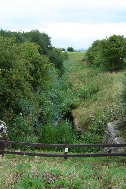
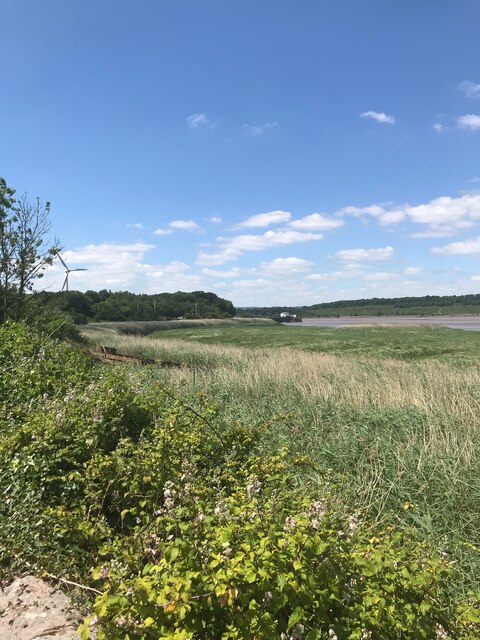
Wards Grove is a small woodland area located in the county of Gloucestershire, England. Situated within the Forest of Dean, it covers an area of approximately 10 acres and is surrounded by lush greenery and natural beauty. The grove is a popular destination for nature enthusiasts and outdoor lovers, offering a peaceful retreat away from the hustle and bustle of city life.
The woodland is predominantly made up of a mixture of broadleaf trees, including oak, beech, and ash, which provide a dense canopy and create a cool and shaded environment. These trees also support a rich variety of wildlife, including squirrels, birds, and various insects, making it a haven for biodiversity.
Wards Grove is crisscrossed with several well-maintained walking trails, allowing visitors to explore the area and take in the breathtaking scenery. The paths wind through the woodland, passing by picturesque streams and small ponds, adding to the tranquility of the surroundings.
In addition to its natural beauty, the grove also offers recreational facilities for visitors. There are picnic areas dotted throughout the woodland, providing a perfect spot for families and friends to relax and enjoy a meal amidst the serenity of nature. The grove also has designated areas for camping and barbecues, allowing visitors to extend their stay and fully immerse themselves in the outdoor experience.
Overall, Wards Grove in Gloucestershire is a charming woodland retreat that showcases the beauty of the Forest of Dean. With its diverse flora and fauna, well-maintained trails, and recreational facilities, it offers a delightful escape for those seeking solace in nature.
If you have any feedback on the listing, please let us know in the comments section below.
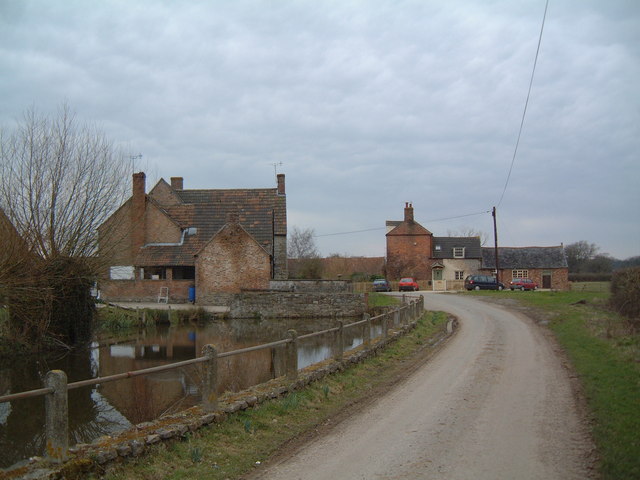
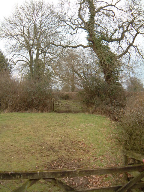
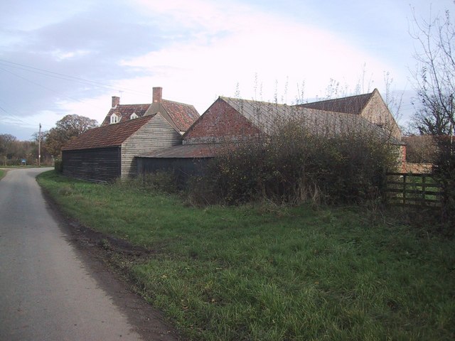
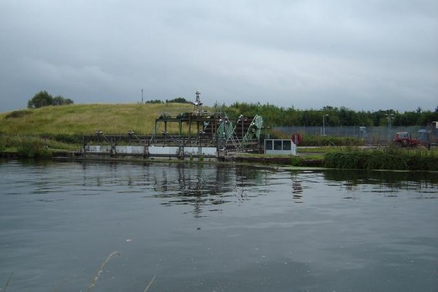
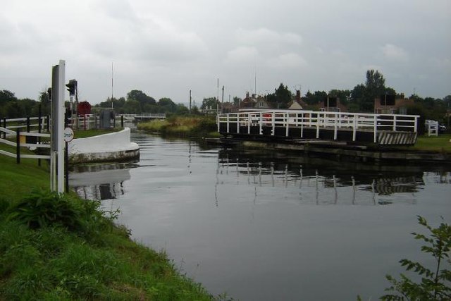
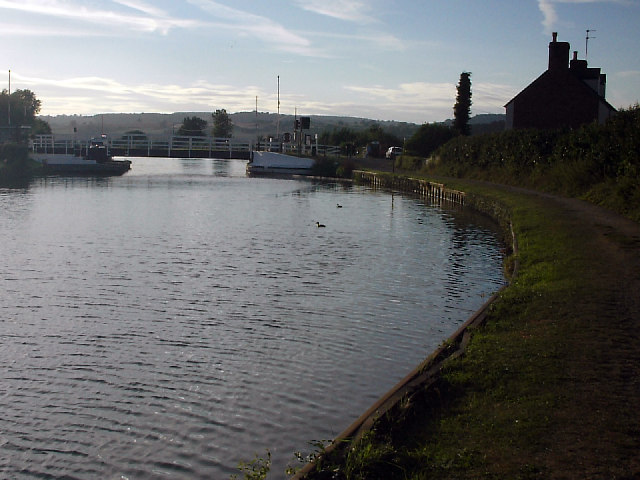
Wards Grove Images
Images are sourced within 2km of 51.7201/-2.4430925 or Grid Reference SO6902. Thanks to Geograph Open Source API. All images are credited.


Wards Grove is located at Grid Ref: SO6902 (Lat: 51.7201, Lng: -2.4430925)
Administrative County: Gloucestershire
District: Stroud
Police Authority: Gloucestershire
What 3 Words
///tennis.gobblers.fortnight. Near Sharpness, Gloucestershire
Nearby Locations
Related Wikis

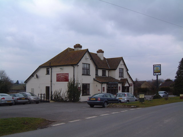
Purton, Berkeley
Purton is a village on the east bank of the River Severn, 3 miles north of Berkeley, in Gloucestershire, England. The village is in the civil parish of...

Sharpness railway station
Sharpness railway station served the village and docks of Sharpness in Gloucestershire, England from 1875 to 1964. == History == The station was on the...

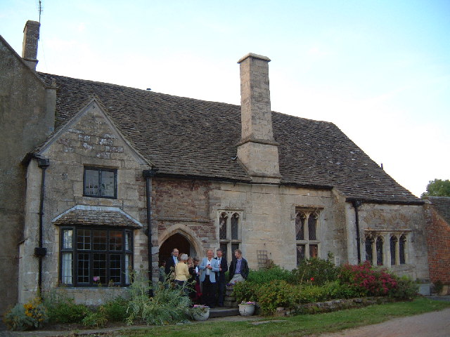
Berkeley Arms, Purton
The Berkeley Arms is a public house at Purton, Gloucestershire GL13 9HU. It is on the Campaign for Real Ale's National Inventory of Historic Pub Interiors...
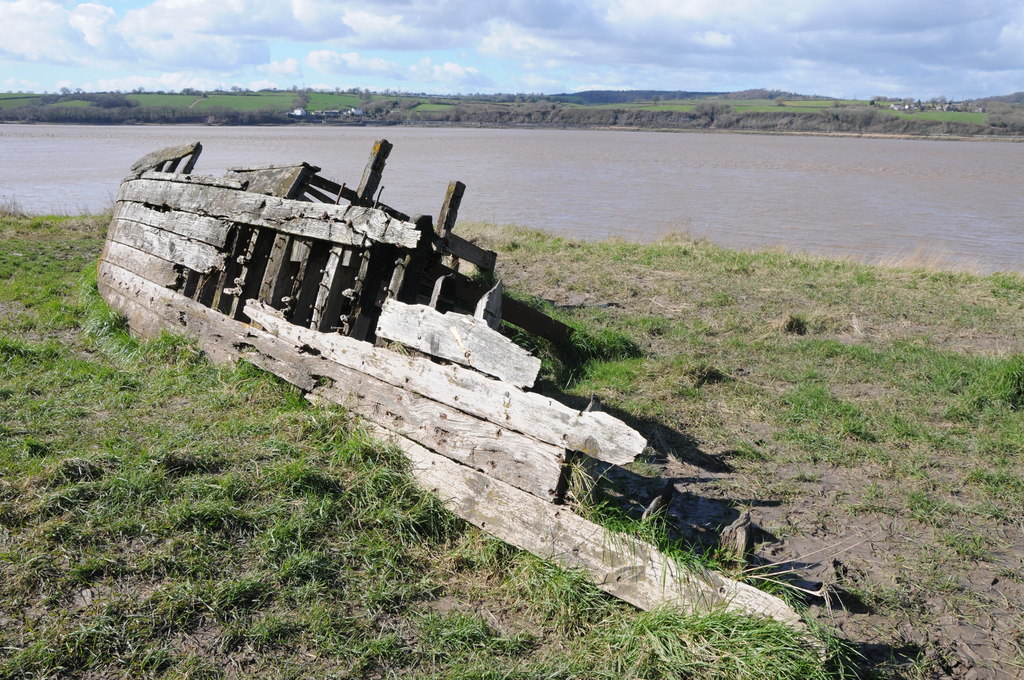
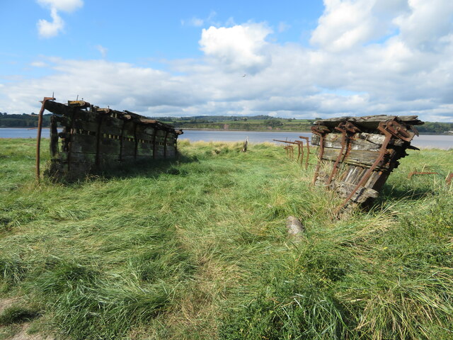
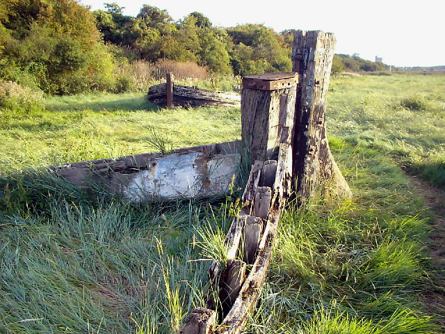
Purton Hulks
The Purton Hulks or Purton Ships' Graveyard is a number of abandoned boats and ships, deliberately beached beside the River Severn near Purton in Gloucestershire...

Hamfallow
Hamfallow is a civil parish in the district of Stroud, Gloucestershire. There is no village centre, the parish consists of farms and hamlets such as Abwell...

Berkeley railway station
Berkeley railway station served the town of Berkeley in Gloucestershire, England. The station was on the Sharpness Branch Line, part of the Midland Railway...

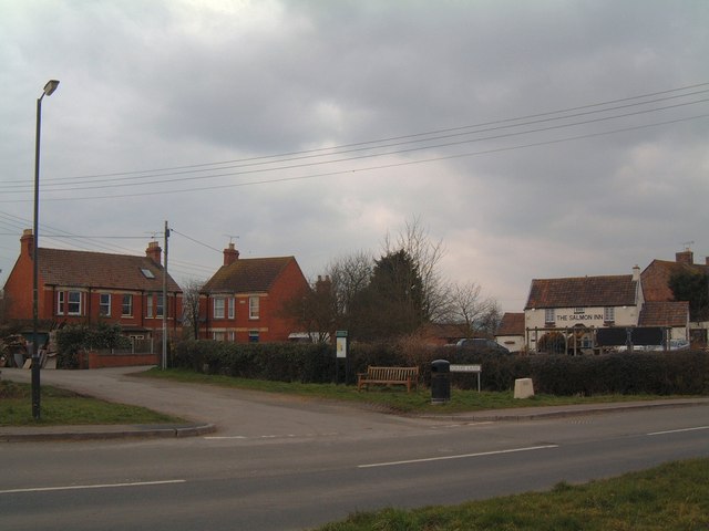
Sharpness
Sharpness ( sharp-NESS) is an English port in Gloucestershire, one of the most inland in Britain, and eighth largest in the South West England region....

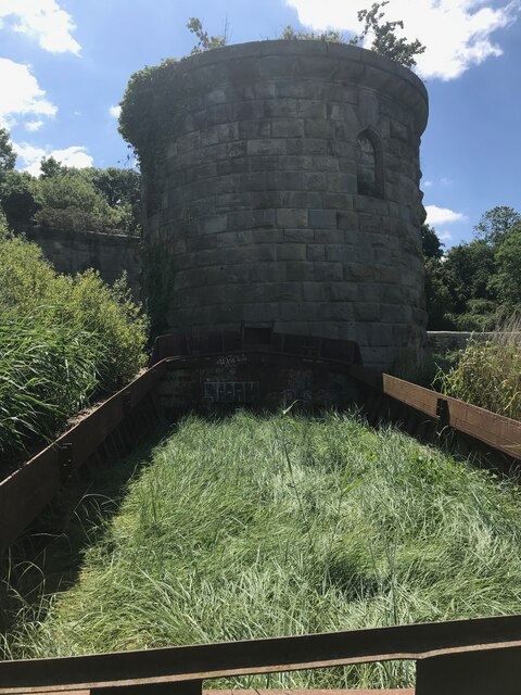
Severn Railway Bridge
The Severn Railway Bridge (historically called the Severn Bridge) was a bridge carrying the railway across the River Severn between Sharpness and Lydney...
Nearby Amenities
Located within 500m of 51.7201,-2.4430925Have you been to Wards Grove?
Leave your review of Wards Grove below (or comments, questions and feedback).