Howes's Grove

Wood, Forest in Gloucestershire Stroud

England

Howes's Grove

Pool Farm, Halmore Looking northwards on Slimbridge Lane, the aptly named Pool Farm is on the left.
Pool Farm, Halmore Credit: David Exworth

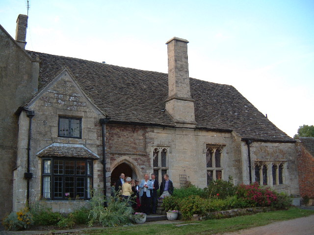
Howes's Grove is a picturesque woodland located in Gloucestershire, England. It is situated in the heart of the Forest of Dean, a renowned area for its natural beauty and rich history. The grove is characterized by its dense canopy of towering trees, creating a serene and enchanting atmosphere.

Covering an area of approximately 100 acres, Howes's Grove is primarily composed of deciduous trees, such as oak, beech, and ash. These majestic trees provide a habitat for a diverse range of flora and fauna, making it a popular destination for nature enthusiasts and wildlife enthusiasts alike. The forest floor is adorned with a carpet of ferns, mosses, and wildflowers, adding to the area's natural charm.

The grove is intersected by a network of well-maintained footpaths, allowing visitors to explore the woodland at their own pace. Along these paths, one can discover hidden glades, babbling brooks, and ancient trees that have stood for centuries. The tranquility of Howes's Grove makes it an ideal location for peaceful walks, picnics, and meditation.

In addition to its natural beauty, Howes's Grove also holds historical significance. It is believed that the woodland has been in existence for over 500 years and has witnessed various historical events. The grove's name is thought to originate from a local family who once owned the land, adding a sense of heritage to the area.

Overall, Howes's Grove in Gloucestershire is a hidden gem within the Forest of Dean, offering visitors a peaceful retreat to connect with nature and experience the beauty of England's woodlands.

If you have any feedback on the listing, please let us know in the comments section below.

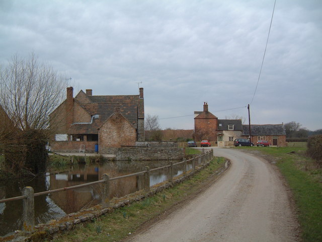
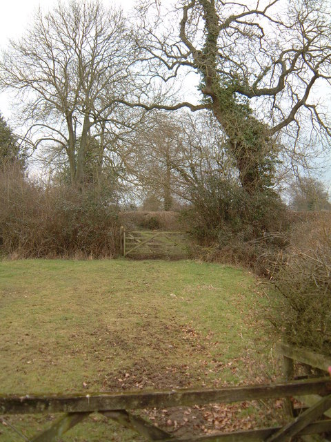
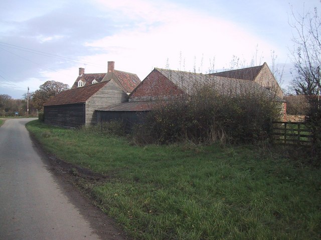
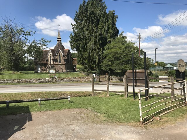
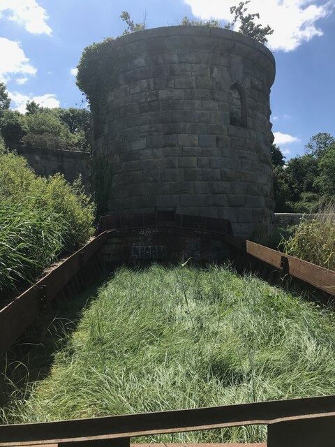
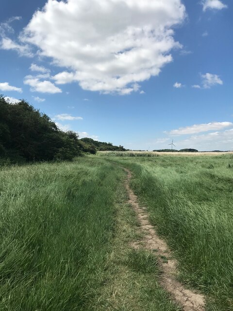
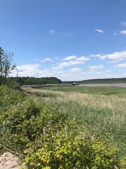
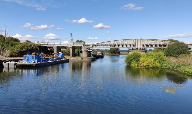
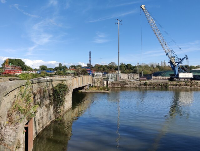
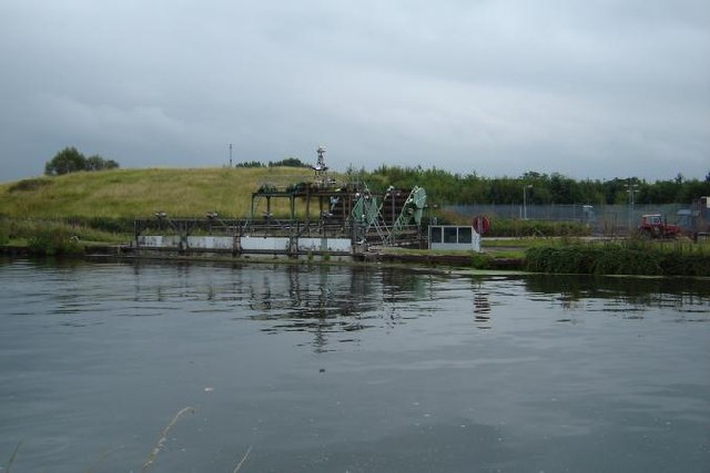
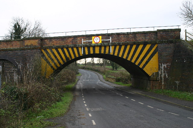
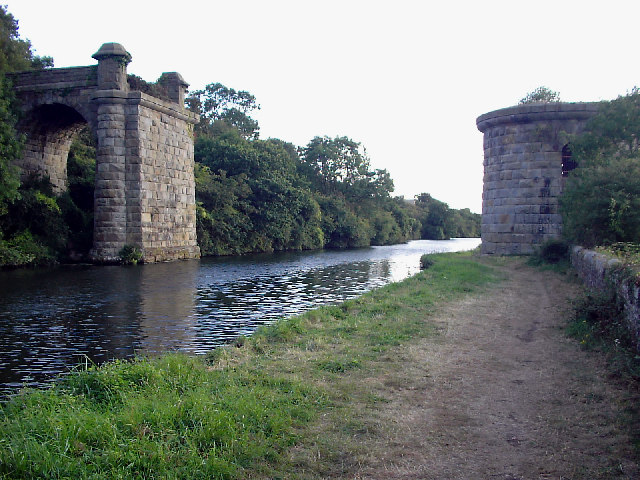
Howes's Grove Images

Images are sourced within 2km of 51.718096/-2.4473287 or Grid Reference SO6902. Thanks to Geograph Open Source API. All images are credited.

Pool Farm, Halmore Looking northwards on Slimbridge Lane, the aptly named Pool Farm is on the left.
Pool Farm, Halmore
Looking northwards on Slimbridge Lane, the aptly named Pool Farm is on the left.
Green Lane This public footpath crosses the square diagonally from north-west to south-east. This view is as the path leaves the road in the top north-western corner of the square, just south of Halmore and heads south-east to Breadstone.
Green Lane
This public footpath crosses the square diagonally from north-west to south-east. This view is as the path leaves the road in the top north-western corner of the square, just south of Halmore and heads south-east to Breadstone.
Barn Complex at Pool Farm
Purton parish church
Purton Ship Graveyard
Alongside the Gloucester and Sharpness Canal
Sharpness Docks
Sharpness Docks
Bridge Road at Sharpness Docks
Low Level Swing Bridge at Sharpness Docks
High Level Swing Bridge at Sharpness Docks
Wilson Dover at Sharpness Docks The cargo ship is moored in the New Dock.
Wilson Dover at Sharpness Docks
The cargo ship is moored in the New Dock.
Crane next to the Low Level Swing Bridge at Sharpness Docks
Dredging Equipment, Gloucester & Sharpness Canal Not quite sure what this equipment is for..
Dredging Equipment, Gloucester & Sharpness Canal
Not quite sure what this equipment is for..
Sharpness (Glos) United Reformed Church This area of the town is known as Newtown and this was built in 1902 as the Union Chapel
Sharpness (Glos) United Reformed Church
This area of the town is known as Newtown and this was built in 1902 as the Union Chapel
Railway bridge near Berkeley Looking S from position
Railway bridge near Berkeley
Looking S from position
Remains of Severn Railway Bridge The bridge was constructed in the 1870s to allow coal from the Forest of Dean to be transported to the docks at Sharpness. The bridge had 21 spans supported on piers and a swinging section across the Gloucester and Sharpness canal.

On the evening of October 25th 1960 two barges carrying 5000 gallons of petrol collided with the bridge in thick fog, taking out two spans and igniting the cargo. The bridge was never repaired and was dismantled in 1967.

The swinging section rotated on the circular pier on the right to allow vessels to pass.
Remains of Severn Railway Bridge
The bridge was constructed in the 1870s to allow coal from the Forest of Dean to be transported to the docks at Sharpness. The bridge had 21 spans supported on piers and a swinging section across the Gloucester and Sharpness canal. On the evening of October 25th 1960 two barges carrying 5000 gallons of petrol collided with the bridge in thick fog, taking out two spans and igniting the cargo. The bridge was never repaired and was dismantled in 1967. The swinging section rotated on the circular pier on the right to allow vessels to pass.
Wanswell Court A mediaeval manor house in the parish of Berkeley. A former resident, George Thorpe was one of the early founders of the Berkeley Plantation in Virginia, USA, in 1619.
Wanswell Court
A mediaeval manor house in the parish of Berkeley. A former resident, George Thorpe was one of the early founders of the Berkeley Plantation in Virginia, USA, in 1619.
Show me another place!

Howes's Grove is located at Grid Ref: SO6902 (Lat: 51.718096, Lng: -2.4473287)

Administrative County: Gloucestershire

District: Stroud

Police Authority: Gloucestershire

What 3 Words

///triathlon.string.broadcast. Near Sharpness, Gloucestershire

Related Wikis

Sharpness railway station

Sharpness railway station served the village and docks of Sharpness in Gloucestershire, England from 1875 to 1964. == History == The station was on the...

Purton, Berkeley

Purton is a village on the east bank of the River Severn, 3 miles north of Berkeley, in Gloucestershire, England. The village is in the civil parish of...

Berkeley railway station

Berkeley railway station served the town of Berkeley in Gloucestershire, England. The station was on the Sharpness Branch Line, part of the Midland Railway...

Hamfallow

Hamfallow is a civil parish in the district of Stroud, Gloucestershire. There is no village centre, the parish consists of farms and hamlets such as Abwell...
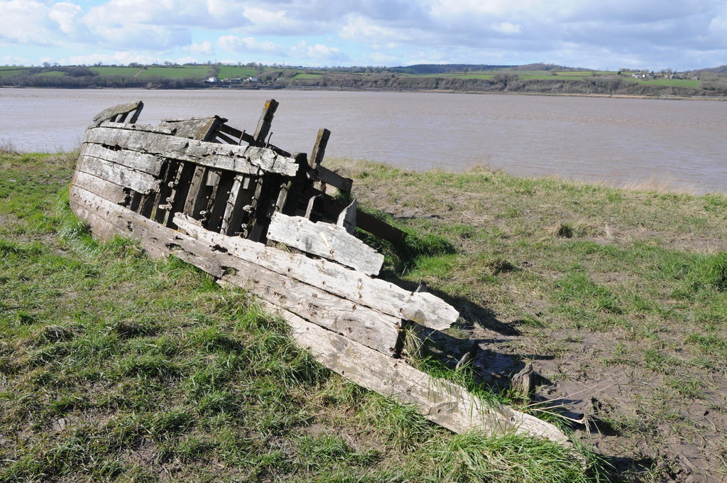
Purton Hulks

The Purton Hulks or Purton Ships' Graveyard is a number of abandoned boats and ships, deliberately beached beside the River Severn near Purton in Gloucestershire...

Sharpness

Sharpness ( sharp-NESS) is an English port in Gloucestershire, one of the most inland in Britain, and eighth largest in the South West England region....

Berkeley Arms, Purton

The Berkeley Arms is a public house at Purton, Gloucestershire GL13 9HU. It is on the Campaign for Real Ale's National Inventory of Historic Pub Interiors...

Severn Railway Bridge

The Severn Railway Bridge (historically called the Severn Bridge) was a bridge carrying the railway across the River Severn between Sharpness and Lydney...

Nearby Amenities

Located within 500m of 51.718096,-2.4473287
Power: pole
Lat/Long: 51.7197989/-2.4417838
Power: pole
Lat/Long: 51.7186357/-2.4429882
Power: pole
Lat/Long: 51.7177118/-2.4438947
Power: pole
Lat/Long: 51.7170272/-2.4445948
Power: pole
Lat/Long: 51.715854/-2.4454048
Power: pole
Lat/Long: 51.7151327/-2.4459064
Power: pole
Lat/Long: 51.7143932/-2.4463999
The data included in this document is from www.openstreetmap.org. The data is made available under ODbL.

Have you been to Howes's Grove?

Leave your review of Howes's Grove below (or comments, questions and feedback).