Burnt Covert

Wood, Forest in Cheshire

England

Burnt Covert

Hollingshead Bridge Grade II listed. Listing number 1320249. Accommodation bridge. 1827-33. Telford design. Skew built. Washed brick with stone band and copings. Single-basket arch with saw-toothed arch ring, solid parapet and piers. Towpath retaining wall with stone coping.
Hollingshead Bridge Credit: Andrew Abbott

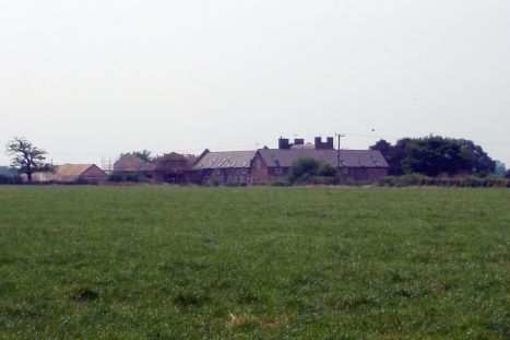
Burnt Covert is a small woodland area located in Cheshire, England. Situated in the heart of the county, the woodland is part of the larger Delamere Forest, which covers an area of approximately 972 hectares. Burnt Covert is known for its natural beauty, tranquil atmosphere, and diverse wildlife.

The woodland is predominantly made up of deciduous trees such as oak, birch, and beech, which provide a rich and vibrant canopy during the summer months. The forest floor is covered in a thick layer of moss and ferns, creating a lush and green undergrowth. This habitat supports a variety of plants and animals, including deer, foxes, badgers, and a wide range of bird species.

Burnt Covert offers several walking trails and paths for visitors to explore and enjoy the natural surroundings. These trails vary in difficulty and length, catering to both casual strollers and more experienced hikers. The woodland also has designated picnic areas and benches, making it an ideal spot for a family day out or a peaceful retreat.

In addition to its natural beauty, Burnt Covert has historical significance. The area was once used for charcoal production, which is reflected in its name. The process of burning wood to create charcoal was common in the region during the 18th and 19th centuries.

Overall, Burnt Covert provides a picturesque setting for nature lovers and outdoor enthusiasts alike. With its scenic trails, diverse wildlife, and rich history, it offers a unique and rewarding experience for visitors to Cheshire.

If you have any feedback on the listing, please let us know in the comments section below.
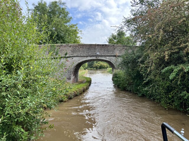
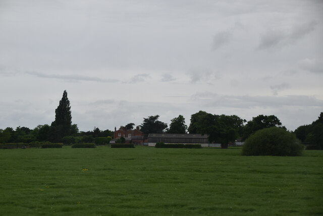
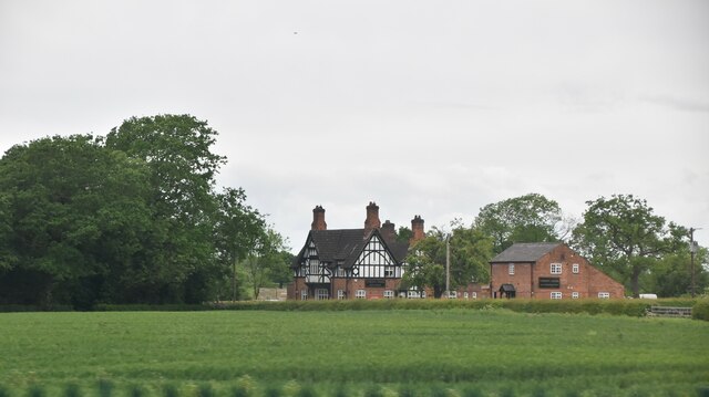
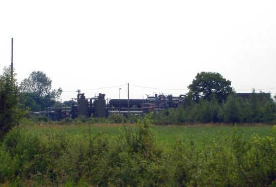
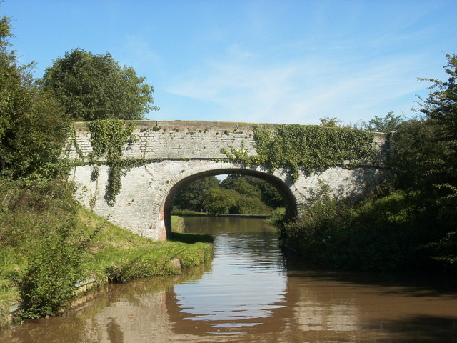
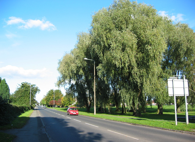
Burnt Covert Images

Images are sourced within 2km of 53.139089/-2.4619285 or Grid Reference SJ6960. Thanks to Geograph Open Source API. All images are credited.

Hollingshead Bridge Grade II listed. Listing number 1320249. Accommodation bridge. 1827-33. Telford design. Skew built. Washed brick with stone band and copings. Single-basket arch with saw-toothed arch ring, solid parapet and piers. Towpath retaining wall with stone coping.
Hollingshead Bridge
Grade II listed. Listing number 1320249. Accommodation bridge. 1827-33. Telford design. Skew built. Washed brick with stone band and copings. Single-basket arch with saw-toothed arch ring, solid parapet and piers. Towpath retaining wall with stone coping.
Newfield Hall Farm
Newfield Hall Farm
The Verdin Arms
The Verdin Arms
Hole House underground gas storage plant Minshull Vernon. View from footpath towards Hole House underground gas storage plant. This is a new feature not yet shown on the OS map - and quite a surprise to find such a modern industrial installation in the middle of a little-walked area of footpaths and farmland. Needless to say the concept of nderground gas storage - as here and at Byley and Lostock Gralam not far away -is proving controversial locally. A lot of protests, but apparently no suggestions as to cost-effective alternative ways of providing the protesters with their energy needs.
Hole House underground gas storage plant
Minshull Vernon. View from footpath towards Hole House underground gas storage plant. This is a new feature not yet shown on the OS map - and quite a surprise to find such a modern industrial installation in the middle of a little-walked area of footpaths and farmland. Needless to say the concept of nderground gas storage - as here and at Byley and Lostock Gralam not far away -is proving controversial locally. A lot of protests, but apparently no suggestions as to cost-effective alternative ways of providing the protesters with their energy needs.
Dairy Farm, Minshull Vernon Minshull Vernon. View from Crewe & Nantwich Circular Walk towards Dairy Farm. This farm is unimaginatively, but very appropriately, named! In the middle of flat dairy farming countryside north of Crewe.
Dairy Farm, Minshull Vernon
Minshull Vernon. View from Crewe & Nantwich Circular Walk towards Dairy Farm. This farm is unimaginatively, but very appropriately, named! In the middle of flat dairy farming countryside north of Crewe.
footpath near Old Hough An obscure footpath, somewhat overgrown, leads towards the solitary oak in the distance.
footpath near Old Hough
An obscure footpath, somewhat overgrown, leads towards the solitary oak in the distance.
Worm farm near Occlestone Green The public footpath through Old Hough farm has been legally diverted to run through the adjacent worm farm.
Worm farm near Occlestone Green
The public footpath through Old Hough farm has been legally diverted to run through the adjacent worm farm.
Warmingham: brine well-head Warmingham: brine well pump-head between Hole House and Hill Top Farm. This is probably part of the British Salt Hole House brinefield, similar to the much larger brinefields further north, nearer to Northwich, belonging to Ineos Chlor (formerly ICI). The whole area has underlying Triassic rock salt deposits, solution mined by pumping water down and brine up. This one is right beside the public footpath west of the village.
Warmingham: brine well-head
Warmingham: brine well pump-head between Hole House and Hill Top Farm. This is probably part of the British Salt Hole House brinefield, similar to the much larger brinefields further north, nearer to Northwich, belonging to Ineos Chlor (formerly ICI). The whole area has underlying Triassic rock salt deposits, solution mined by pumping water down and brine up. This one is right beside the public footpath west of the village.
Warmingham: worm farm near Occlestone Green Warmingham (Occlestone Green): worm farm at Oldhaugh Manor. The public footpath runs around the edge of the wormery. For a closer view see <a href="https://www.geograph.org.uk/photo/213616">SJ6962 : Worm farm near Occlestone Green</a>.
Warmingham: worm farm near Occlestone Green
Warmingham (Occlestone Green): worm farm at Oldhaugh Manor. The public footpath runs around the edge of the wormery. For a closer view see SJ6962 : Worm farm near Occlestone Green.
Hollingshead Bridge No. 16 Shropshire Union Canal. Middlewich Branch
Hollingshead Bridge No. 16
Shropshire Union Canal. Middlewich Branch
Cross near Walley's Green Cross commemorating the 60th year of Queen Victoria's reign.
Cross near Walley's Green
Cross commemorating the 60th year of Queen Victoria's reign.
Congregational Chapel, Minshull Vernon Minshull Vernon Congregational Chapel (1809) at the junction of Cross Lane, Eardwick Lane and Brookhouse Lane - seen from Cross Lane.
Congregational Chapel, Minshull Vernon
Minshull Vernon Congregational Chapel (1809) at the junction of Cross Lane, Eardwick Lane and Brookhouse Lane - seen from Cross Lane.
Footbridge in Worsley Covert Footbridge on Minshull Vernon footpath 7 in Worsley Covert. At present (30 September 2007) this footpath is closed due to the planned installation of an underground gas pipeline either side of the covert.
Footbridge in Worsley Covert
Footbridge on Minshull Vernon footpath 7 in Worsley Covert. At present (30 September 2007) this footpath is closed due to the planned installation of an underground gas pipeline either side of the covert.
Parkfield Bridge, Minshull Vernon Tractor bridge carrying Minshull Vernon footpath 8 across the main Liverpool to London railway line. Finding your way through Parkfield Farm is a challenge!
Parkfield Bridge, Minshull Vernon
Tractor bridge carrying Minshull Vernon footpath 8 across the main Liverpool to London railway line. Finding your way through Parkfield Farm is a challenge!
Park Hall Farm, Minshull Vernon Park Hall Farm outbuildings and silo seen from Minshull Vernon footpath 8.
Park Hall Farm, Minshull Vernon
Park Hall Farm outbuildings and silo seen from Minshull Vernon footpath 8.
Obstruction on walk You cannot walk this part of the Crewe and Nantwich Circular walk until July 2008 due to some works going on in this field. 

It would have been nice if the local council had put the closure sign up earlier in the route. This would have saved me from having to walk down and cross the busy and dangerous A530 twice.
Obstruction on walk
You cannot walk this part of the Crewe and Nantwich Circular walk until July 2008 due to some works going on in this field. It would have been nice if the local council had put the closure sign up earlier in the route. This would have saved me from having to walk down and cross the busy and dangerous A530 twice.
West Coast Main Line at Wimboldsley in BR days The four-track section of line between Crewe and Winsford, seen from the A530 bridge.  A class 86 electric locomotive approaches in the distance with a down (northbound) passenger train.
West Coast Main Line at Wimboldsley in BR days
The four-track section of line between Crewe and Winsford, seen from the A530 bridge. A class 86 electric locomotive approaches in the distance with a down (northbound) passenger train.
Minshull United Reformed Church, Minshull Vernon Minshull United Reformed Church is at the junction of Eardswick Lane, Cross Lane and Brookhouse Lane; this view is from Eardswick Lane. The grade-II-listed church was built in 1809-10 and altered c. 1880; it was originally a Congregational Chapel. See also <a href="https://www.geograph.org.uk/photo/1192020">SJ6760 : Minshull United Reformed Church: detail</a>. For more information, see <span class="nowrap"><a title="http://www.imagesofengland.org.uk/details/default.aspx?id=56627" rel="nofollow ugc noopener" href="http://www.imagesofengland.org.uk/details/default.aspx?id=56627">Link</a><img style="margin-left:2px;" alt="External link" title="External link - shift click to open in new window" src="https://s1.geograph.org.uk/img/external.png" width="10" height="10"/></span>
Minshull United Reformed Church, Minshull Vernon
Minshull United Reformed Church is at the junction of Eardswick Lane, Cross Lane and Brookhouse Lane; this view is from Eardswick Lane. The grade-II-listed church was built in 1809-10 and altered c. 1880; it was originally a Congregational Chapel. See also SJ6760 : Minshull United Reformed Church: detail. For more information, see LinkExternal link
Show me another place!

Burnt Covert is located at Grid Ref: SJ6960 (Lat: 53.139089, Lng: -2.4619285)

Unitary Authority: Cheshire East

Police Authority: Cheshire

What 3 Words

///gong.families.wolves. Near Crewe, Cheshire

Nearby Locations

Burnt Covert Larch Wood

Related Wikis

Minshull Vernon

Minshull Vernon is a hamlet and civil parish in the unitary authority of Cheshire East and the ceremonial county of Cheshire, England. The hamlet lies...

Occlestone Green

Occlestone Green is a small rural settlement in the civil parish of Stanthorne and Wimboldsley, the unitary authority of Cheshire West and Chester and...

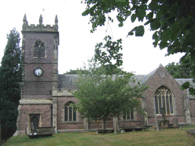
St Peter's Church, Minshull Vernon

St Peter's Church is in Middlewich Road, Minshull Vernon, Cheshire, England. It is an active Anglican parish church in the deanery of Nantwich, the archdeaconry...

Minshull Vernon United Reformed Church

Minshull Vernon United Reformed Church is located in Cross Lane, Minshull Vernon, Cheshire, England. It is recorded in the National Heritage List for England...

St Leonard's Church, Warmingham

St Leonard's Church is in the village of Warmingham, Cheshire, England. The church is recorded in the National Heritage List for England as a designated...

A530 road

The A530 road is a road linking the A525 east of Whitchurch, Shropshire, England with the A559 east of Northwich, in Cheshire. The road follows the route...

Minshull Vernon railway station

Minshull Vernon railway station was a station on the Grand Junction Railway serving the villages of Warmington and Minshull Vernon. It opened on 4 July...

Warmingham

Warmingham is a village and civil parish in the unitary authority of Cheshire East and ceremonial county of Cheshire, England, on the River Wheelock (at...
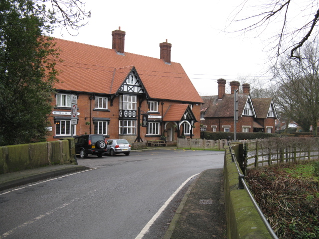
Nearby Amenities

Located within 500m of 53.139089,-2.4619285
Barrier: stile
Material: wood
Step Count: 2
Stile: stepover
Lat/Long: 53.1401159/-2.4675012
Barrier: stile
Material: wood
Step Count: 2
Stile: stepover
Lat/Long: 53.1388108/-2.4677472
Barrier: stile
Foot: yes
Lat/Long: 53.1413681/-2.4557191
Barrier: stile
Foot: yes
Lat/Long: 53.141375/-2.4555415
Generator Method: wind_turbine
Generator Output Electricity: yes
Generator Source: wind
Generator Type: horizontal_axis
Power: generator
Source: view from train;DigitalGlobe-Standard
Lat/Long: 53.1413721/-2.4641785
Power: pole
Lat/Long: 53.1419279/-2.4611869
Power: pole
Lat/Long: 53.1419343/-2.4644673
Power: pole
Lat/Long: 53.1419423/-2.4659693
Power: pole
Lat/Long: 53.1419311/-2.4673668
Power: pole
Lat/Long: 53.1408756/-2.4682546
Power: pole
Lat/Long: 53.1401371/-2.4673748
Power: pole
Lat/Long: 53.1391669/-2.467466
Power: pole
Lat/Long: 53.1381951/-2.4675009
Power: pole
Lat/Long: 53.1374598/-2.4675572
Power: pole
Lat/Long: 53.1366552/-2.4676296
Barrier: stile
Material: wood
Step Count: 2
Stile: stepover
Lat/Long: 53.1401693/-2.4673695
Barrier: stile
Material: wood
Step Count: 2
Stile: stepover
Lat/Long: 53.1401351/-2.46747
Barrier: stile
Material: wood
Step Count: 2
Stile: stepover
Lat/Long: 53.1387789/-2.4677431
The data included in this document is from www.openstreetmap.org. The data is made available under ODbL.

Have you been to Burnt Covert?

Leave your review of Burnt Covert below (or comments, questions and feedback).