Limekiln Covert

Wood, Forest in Herefordshire

England

Limekiln Covert

Abandoned church at Lower Sapey From the SW
Abandoned church at Lower Sapey Credit: mym

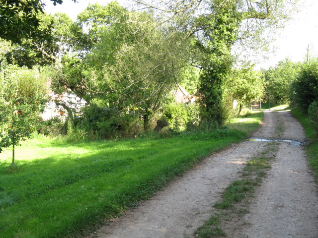
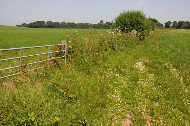
Limekiln Covert is a picturesque woodland located in Herefordshire, England. Spread across an area of approximately 50 acres, it is a natural haven for wildlife and a popular destination for nature enthusiasts. The woodland is named after the limekilns that were used in the past for burning limestone to produce lime.

The main feature of Limekiln Covert is its dense forest of mixed deciduous trees, including oak, beech, ash, and birch. The trees provide a beautiful canopy that filters sunlight and creates a serene atmosphere within the woodland. There are well-maintained footpaths that wind through the covert, allowing visitors to explore its beauty at their own pace.

The diverse ecosystem within Limekiln Covert supports a wide variety of wildlife. Many species of birds, such as woodpeckers, tits, and thrushes, can be spotted among the branches. Small mammals like squirrels, rabbits, and foxes also call this woodland home. Additionally, the woodland floor is adorned with a carpet of wildflowers during the spring and summer months, adding bursts of color to the surroundings.

Limekiln Covert is managed by the local conservation authority to preserve its natural beauty and protect the wildlife. The woodland is open to the public, and visitors can enjoy peaceful walks, birdwatching, or simply immerse themselves in the tranquility of nature. It is a perfect destination for nature lovers looking to escape the hustle and bustle of everyday life and reconnect with the natural world.

If you have any feedback on the listing, please let us know in the comments section below.

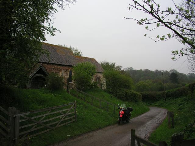
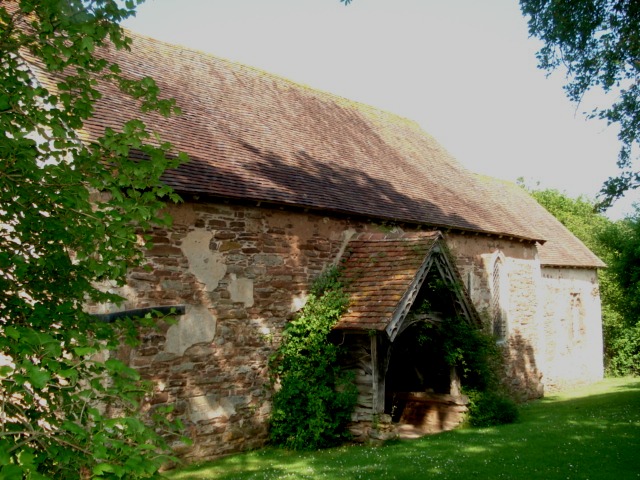
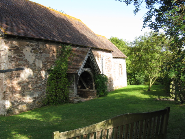
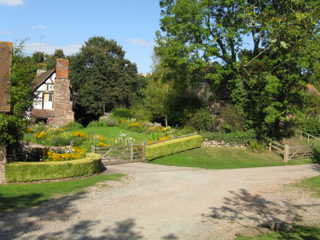
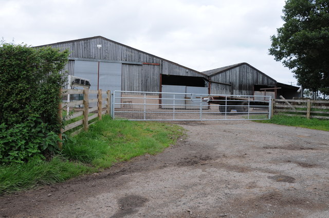
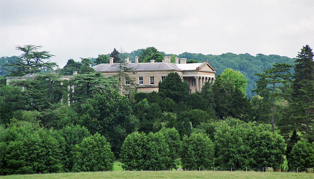
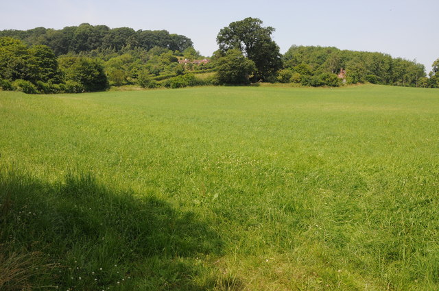
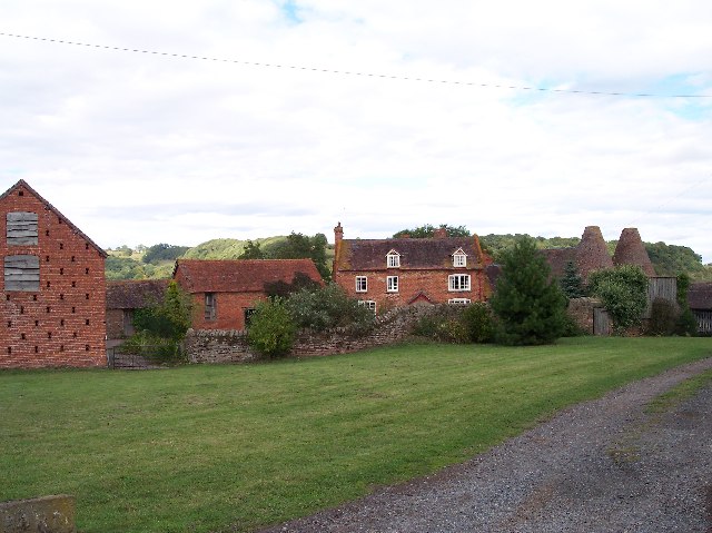
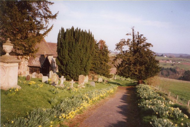
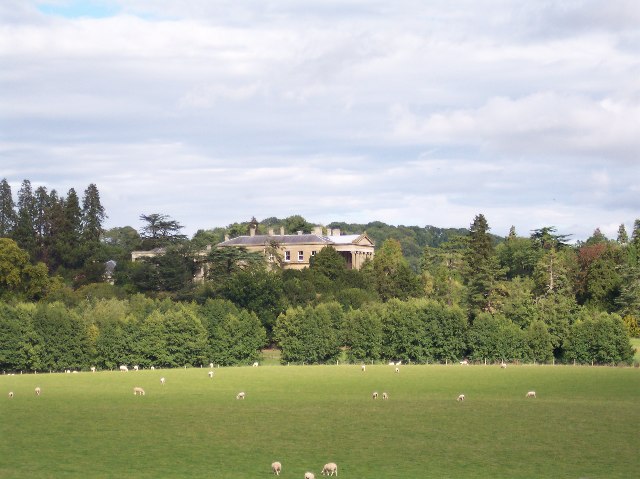
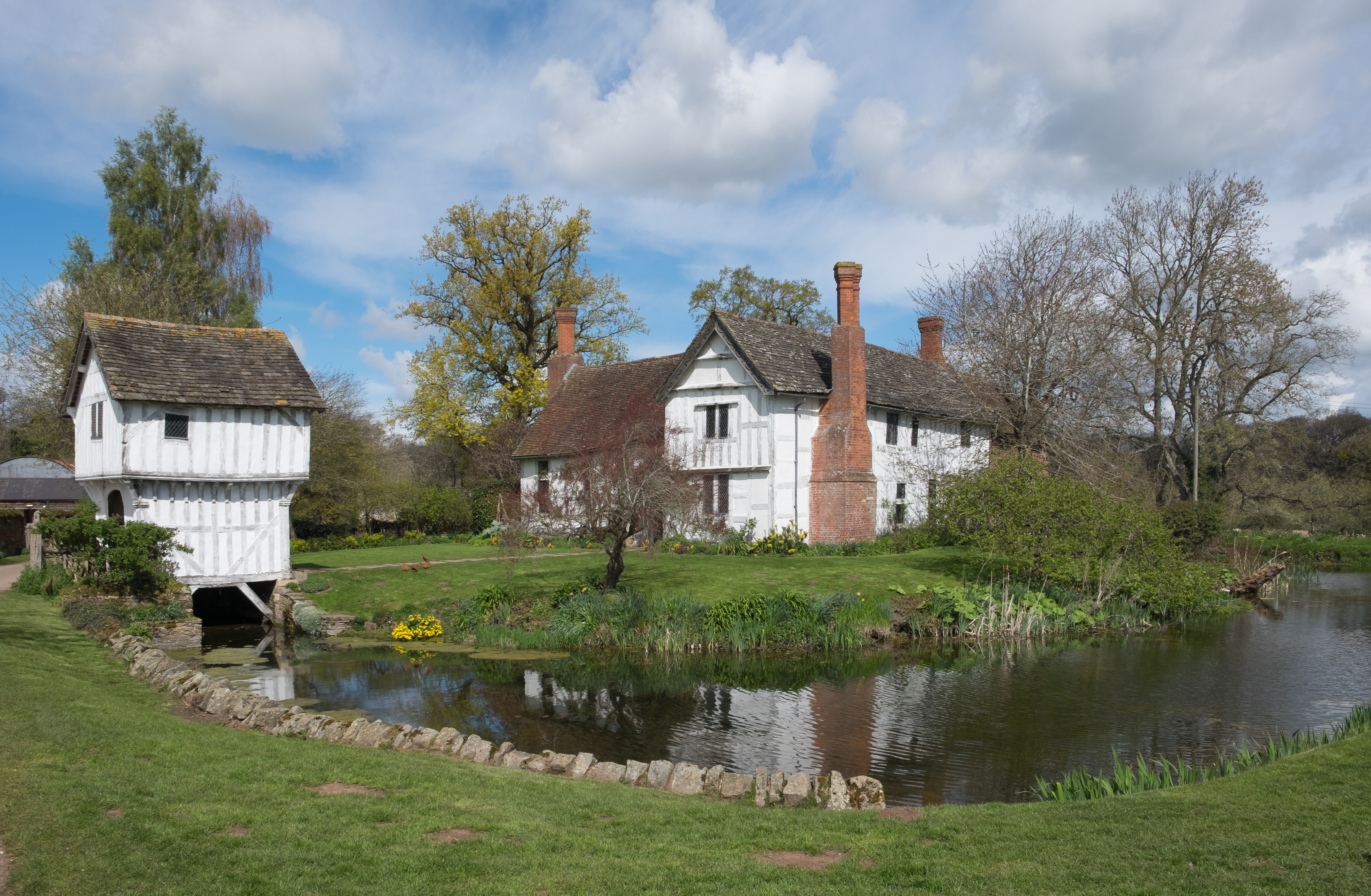
Limekiln Covert Images

Images are sourced within 2km of 52.221516/-2.4481126 or Grid Reference SO6958. Thanks to Geograph Open Source API. All images are credited.

Abandoned church at Lower Sapey From the SW
Abandoned church at Lower Sapey
From the SW
Old St Bartholomew's Church at Lower Sapey The original Saxon church for Lower Sapey parish has an entry in the Domesday Book of 1086. In 1878 a new St Bartholomew's parish church was built, which is when this one became known as Old St Bartholomew's. Instructions were issued to demolish it, but these were never carried out and nobody from the Diocese noticed in this remote parish. The church was in disrepair until restored over 1989 to 1994, driven by the owners of the cottage next door. Now administered by the Churches Conservation Trust.
<span class="nowrap"><a title="http://www.british-history.ac.uk/report.aspx?compid=42903" rel="nofollow ugc noopener" href="http://www.british-history.ac.uk/report.aspx?compid=42903">Link</a><img style="margin-left:2px;" alt="External link" title="External link - shift click to open in new window" src="https://s1.geograph.org.uk/img/external.png" width="10" height="10"/></span>
Old St Bartholomew's Church at Lower Sapey
The original Saxon church for Lower Sapey parish has an entry in the Domesday Book of 1086. In 1878 a new St Bartholomew's parish church was built, which is when this one became known as Old St Bartholomew's. Instructions were issued to demolish it, but these were never carried out and nobody from the Diocese noticed in this remote parish. The church was in disrepair until restored over 1989 to 1994, driven by the owners of the cottage next door. Now administered by the Churches Conservation Trust. LinkExternal link
The Old Church, Lower Sapey
Cottage Garden, Lower Sapey
Bridleway At Lower Sapey
Thrift Farm Farm buildings at Thrift Farm near Tedstone Delamere.
Thrift Farm
Farm buildings at Thrift Farm near Tedstone Delamere.
Sheep near Lamb Green Sheep near Lamb Green to the east of Tedstone Delamere.
Sheep near Lamb Green
Sheep near Lamb Green to the east of Tedstone Delamere.
Whitbourne Hall, Whitbourne Actually only a distant view of part of the imposing Greek Ionic portico, inspired by the Erechtheum in Athens. All the work of E.W. Elmslie, 1860-62, for Edward Bickerton Evans, banker, wine and vinegar brewer, and amateur archaeologist. The date is late for such a revival building. Grade II* listed.
A closer view: <a href="https://www.geograph.org.uk/photo/688419">SO7056 : Whitbourne Hall</a>.
Whitbourne Hall, Whitbourne
Actually only a distant view of part of the imposing Greek Ionic portico, inspired by the Erechtheum in Athens. All the work of E.W. Elmslie, 1860-62, for Edward Bickerton Evans, banker, wine and vinegar brewer, and amateur archaeologist. The date is late for such a revival building. Grade II* listed. A closer view: SO7056 : Whitbourne Hall.
Farmland near Bradley Wood Common
Farmland near Whitbourne
Lodge to Whitbourne Hall
Baled hay Baled hay in a field at Whitbourne.
Baled hay
Baled hay in a field at Whitbourne.
Long grass, Whitbourne Long vegetation here is unexpected, there has not been any grazing for a while.
Long grass, Whitbourne
Long vegetation here is unexpected, there has not been any grazing for a while.
Tedstone Wafre The B4203 at Tedstone Wafre.  Viewing this scene today you would have no idea a telephone box once stood here, see <a href="https://www.geograph.org.uk/photo/978962">SO6758 : Still connected!</a>.
Tedstone Wafre
The B4203 at Tedstone Wafre. Viewing this scene today you would have no idea a telephone box once stood here, see SO6758 : Still connected!.
Whitbourne Hall from Bringsty Common Whitbourne Hall is a Grade II* listed Greek Revival country house located in the village of Whitbourne in Herefordshire, England. The hall was first constructed in 1860 by the architect E. W. Elmslie. Built for the Evans who operated the vinegar manufacturing in Worcester. <a href="https://www.geograph.org.uk/photo/2431563">SO8555 : The Great Filling Hall, Worcester</a>.
Whitbourne Hall from Bringsty Common
Whitbourne Hall is a Grade II* listed Greek Revival country house located in the village of Whitbourne in Herefordshire, England. The hall was first constructed in 1860 by the architect E. W. Elmslie. Built for the Evans who operated the vinegar manufacturing in Worcester. SO8555 : The Great Filling Hall, Worcester.
The Farm Owned by the National Trust as part of the Brockhampton Estate and simply called "The Farm" this has a beautiful barn and oast houses and is available to hire - it sleeps 10.
The Farm
Owned by the National Trust as part of the Brockhampton Estate and simply called "The Farm" this has a beautiful barn and oast houses and is available to hire - it sleeps 10.
Tedstone Delamere, St James's Church This church is surrounded by fields with access by footpath.  It has two Norman windows in the nave, and a timber bell-turret with spire.
Tedstone Delamere, St James's Church
This church is surrounded by fields with access by footpath. It has two Norman windows in the nave, and a timber bell-turret with spire.
Footpath from Hill Cross to Upper Norton Looking south west from Hill Cross.
Footpath from Hill Cross to Upper Norton
Looking south west from Hill Cross.
Show me another place!

Limekiln Covert is located at Grid Ref: SO6958 (Lat: 52.221516, Lng: -2.4481126)

Unitary Authority: County of Herefordshire

Police Authority: West Mercia

What 3 Words

///poets.shipyards.locals. Near Bromyard, Herefordshire

Related Wikis

Tedstone Delamere

Tedstone Delamere is a village and civil parish in Herefordshire, England, 3.5 miles (6 km) north-east of Bromyard. The population of the parish at the...

Whitbourne Hall

Whitbourne Hall is a Grade II* listed Greek Revival country house located in the village of Whitbourne in Herefordshire (near the Worcestershire border...

Tedstone Wafer

Tedstone Wafer is a village and civil parish 16 miles (26 km) north east of Hereford, in the county of Herefordshire, England. In 2011 the parish had a...

Old St Bartholomew's Church, Lower Sapey

Old St Bartholomew's Church is a redundant Anglican church near the village of Lower Sapey, Worcestershire, England. It is recorded in the National Heritage...

Brockhampton Estate

The Brockhampton Estate is a National Trust property in Herefordshire, England, and is to the north of the A44 Bromyard to Worcester road, opposite the...

Edvin Loach

Edvin Loach, also Edwin Loach, is a village and former civil parish, now in the parish of Edvin Loach and Saltmarshe, in east Herefordshire, England, and...

Harpley, Worcestershire

Harpley is a hamlet in Worcestershire, England.

Whitbourne, Herefordshire

Whitbourne (Anglo-Saxon for "white stream") is a village in Eastern Herefordshire, England on the banks of the River Teme and close to the A44. It is close...

Nearby Amenities

Located within 500m of 52.221516,-2.4481126
Pixhill
Power: pole
Transformer: distribution
Voltage Primary: 11000
Lat/Long: 52.2202216/-2.446117
Power: pole
Lat/Long: 52.2202344/-2.4467788
Power: pole
Lat/Long: 52.2202348/-2.447395
Power: pole
Lat/Long: 52.2202368/-2.4480052
Power: pole
Lat/Long: 52.2202381/-2.4485564
Power: pole
Lat/Long: 52.2204615/-2.4488997
Power: pole
Lat/Long: 52.2215469/-2.4506257
Power: pole
Lat/Long: 52.2209956/-2.4498734
Power: pole
Lat/Long: 52.2220299/-2.4512883
Tedstone Lodge
Power: pole
Transformer: distribution
Voltage Primary: 11000
Lat/Long: 52.2224711/-2.4514532
Power: pole
Lat/Long: 52.2235038/-2.4515793
Power: pole
Lat/Long: 52.2243857/-2.4517603
Power: pole
Lat/Long: 52.2251887/-2.4519273
St James Church
Power: pole
Transformer: distribution
Voltage Primary: 11000
Lat/Long: 52.2247073/-2.4468365
Power: pole
Lat/Long: 52.2254537/-2.4470624
Power: pole
Lat/Long: 52.2257157/-2.447497
The data included in this document is from www.openstreetmap.org. The data is made available under ODbL.

Have you been to Limekiln Covert?

Leave your review of Limekiln Covert below (or comments, questions and feedback).