Manor Plantation

Wood, Forest in Dorset

England

Manor Plantation

Former chapel at Holwell
Former chapel at Holwell Credit: David Martin

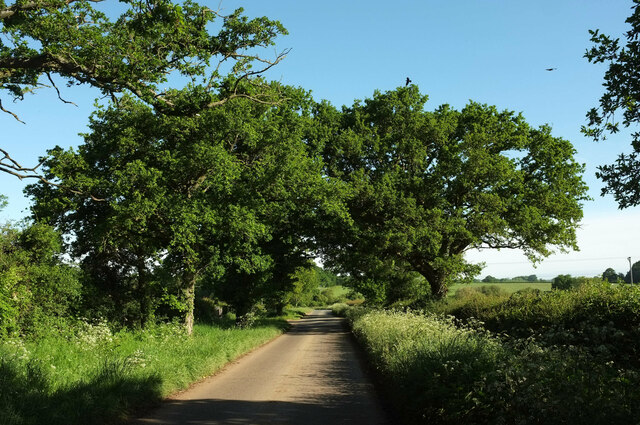
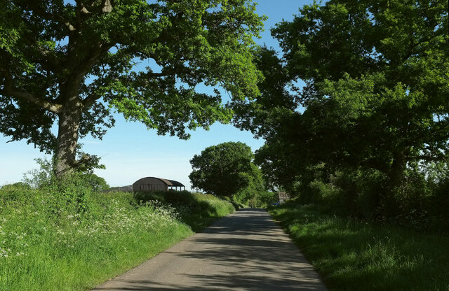
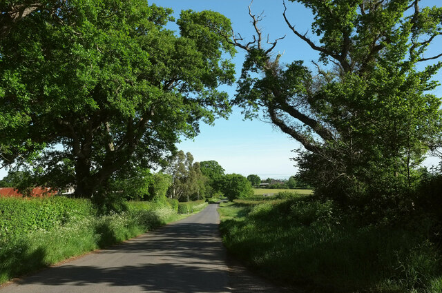
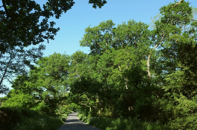
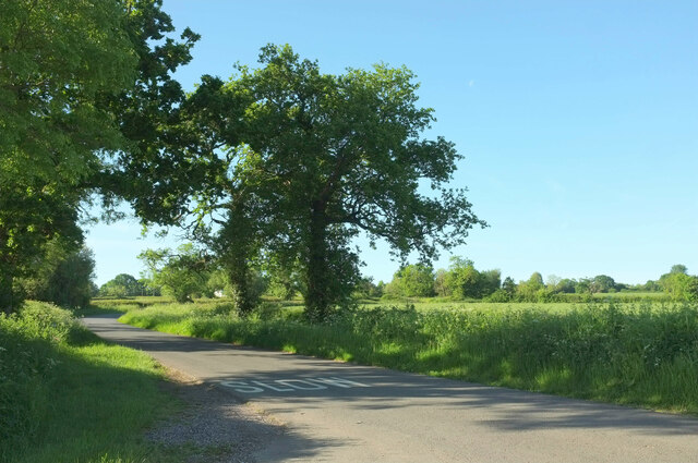
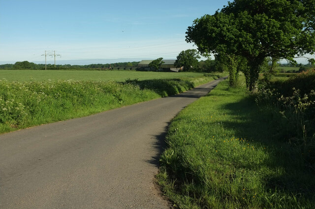
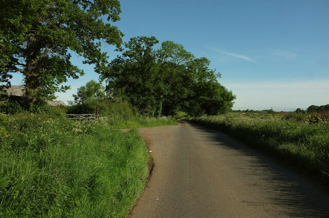
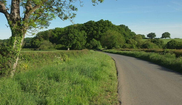
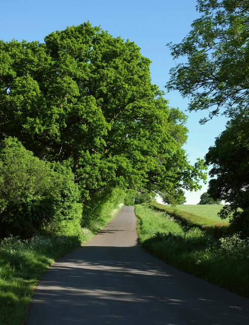
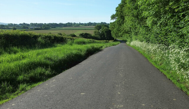
Manor Plantation is a picturesque woodland located in the county of Dorset, England. Situated on the outskirts of a small village, this enchanting forest covers an impressive area of approximately 500 acres, providing a tranquil escape for both locals and visitors alike.

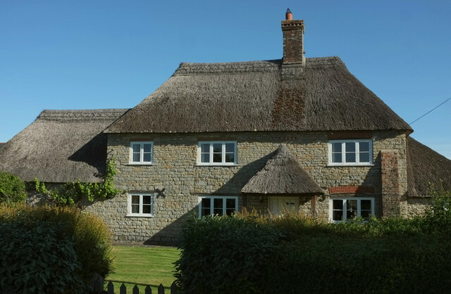
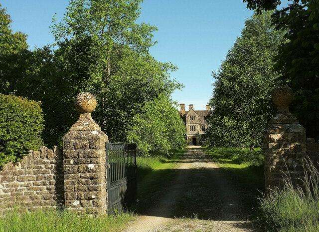
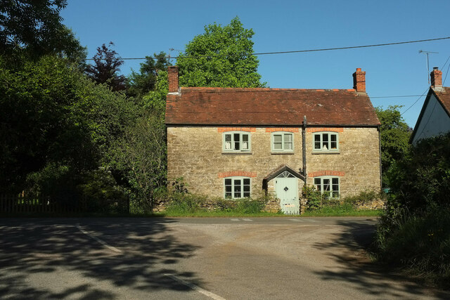
The woodland is named after the historic manor house that once stood on its grounds, dating back several centuries. Although the manor house is no longer standing, remnants of its foundation can still be seen, adding a touch of historical charm to the area.

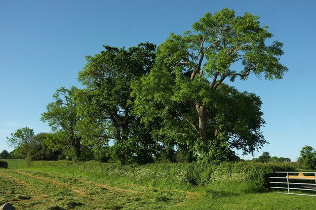
Manor Plantation boasts a diverse range of trees, including ancient oaks, beech, and birch, creating a rich and vibrant ecosystem. These majestic trees provide shelter to a variety of wildlife, making it a haven for nature enthusiasts and photographers. Birdwatchers can spot a multitude of species, such as woodpeckers, owls, and various songbirds, while deer and foxes are occasionally glimpsed roaming the area.

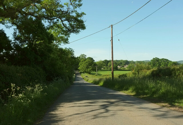
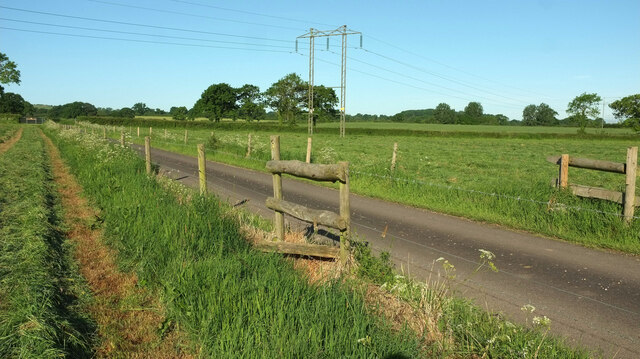
The woodland offers several well-maintained walking trails, allowing visitors to explore its natural beauty at their leisure. These paths wind through the forest, leading to hidden clearings and babbling streams, providing a sense of serenity and peace. During the springtime, the forest floor is blanketed with vibrant wildflowers, creating a breathtaking sight.

Manor Plantation is a popular destination for outdoor activities, with designated picnic areas and camping spots available for those wishing to spend a night under the stars. Moreover, the forest is equipped with proper facilities, including parking areas and restroom facilities, ensuring a comfortable visit for all.

In summary, Manor Plantation in Dorset is a remarkable woodland that offers a tranquil and captivating experience for nature lovers and outdoor enthusiasts.

If you have any feedback on the listing, please let us know in the comments section below.

Manor Plantation Images

Images are sourced within 2km of 50.890474/-2.4392932 or Grid Reference ST6910. Thanks to Geograph Open Source API. All images are credited.

Former chapel at Holwell
Lane to Holwell Roadside trees on a straight lane passing Oakwood View.
Lane to Holwell
Roadside trees on a straight lane passing Oakwood View.
Trees near Hartmoor Farm Along the lane from Holwell to Pulham.
Trees near Hartmoor Farm
Along the lane from Holwell to Pulham.
Passing Holwell Hill Farm On the lane from Pulham to Holwell.
Passing Holwell Hill Farm
On the lane from Pulham to Holwell.
Lane to Holwell A little further north from <a href="https://www.geograph.org.uk/photo/7184565">ST7010 : Passing Holwell Hill Farm</a>. A little of the village of Holwell is visible ahead right of centre.
Lane to Holwell
A little further north from ST7010 : Passing Holwell Hill Farm. A little of the village of Holwell is visible ahead right of centre.
Crouch Hill Farm The thatched farmhouse on Holwell Drove is "possibly of C17 origin ..." <span class="nowrap"><a title="https://historicengland.org.uk/listing/the-list/list-entry/1304895?section=official-list-entry" rel="nofollow ugc noopener" href="https://historicengland.org.uk/listing/the-list/list-entry/1304895?section=official-list-entry">Link</a><img style="margin-left:2px;" alt="External link" title="External link - shift click to open in new window" src="https://s1.geograph.org.uk/img/external.png" width="10" height="10"/></span> .
Crouch Hill Farm
The thatched farmhouse on Holwell Drove is "possibly of C17 origin ..." LinkExternal link .
Holwell Drove Approaching a slight right bend, the only bend in the one and a half kilometres road between Holwell and Sandhills. Its drove-like quality is more pronounced towards the western end.
Holwell Drove
Approaching a slight right bend, the only bend in the one and a half kilometres road between Holwell and Sandhills. Its drove-like quality is more pronounced towards the western end.
Holwell Manor House Grade II* listed. "Country House, C16 with much rebuilding of 1889" <span class="nowrap"><a title="https://historicengland.org.uk/listing/the-list/list-entry/1118845?section=official-list-entry" rel="nofollow ugc noopener" href="https://historicengland.org.uk/listing/the-list/list-entry/1118845?section=official-list-entry">Link</a><img style="margin-left:2px;" alt="External link" title="External link - shift click to open in new window" src="https://s1.geograph.org.uk/img/external.png" width="10" height="10"/></span> . Seen past the entrance gate on Holwell Drove <a href="https://www.geograph.org.uk/photo/7564503">ST6810 : Holwell Drove</a>.
Holwell Manor House
Grade II* listed. "Country House, C16 with much rebuilding of 1889" LinkExternal link . Seen past the entrance gate on Holwell Drove ST6810 : Holwell Drove.
Cottage, Sandhills Tess Cottage is opposite the junction of Holwell Drove (foreground) with Stock Hill Lane. Presumably named as a whimsical reference to Hardy's famous character who spent time in the Blackmore Vale, which we are in.
Cottage, Sandhills
Tess Cottage is opposite the junction of Holwell Drove (foreground) with Stock Hill Lane. Presumably named as a whimsical reference to Hardy's famous character who spent time in the Blackmore Vale, which we are in.
Stock Hill Lane Passing Rails Farm. To the right of the telegraph pole is Magog Farm.
Stock Hill Lane
Passing Rails Farm. To the right of the telegraph pole is Magog Farm.
Stiles near Hartmoor Farm On footpath N49 14, and designed for those long legs. Frankly, I couldn't face climbing over both of them. so took to the farm drive to reach the lane to Holwell.
Stiles near Hartmoor Farm
On footpath N49 14, and designed for those long legs. Frankly, I couldn't face climbing over both of them. so took to the farm drive to reach the lane to Holwell.
Mown grass near Hartmoor Farm From the start of the drive to the farm.
Mown grass near Hartmoor Farm
From the start of the drive to the farm.
Trees by the road to Pulham From the start of the drive to Hartmoor Farm.
Trees by the road to Pulham
From the start of the drive to Hartmoor Farm.
Road to Holwell Looking in the other direction from <a href="https://www.geograph.org.uk/photo/7562911">ST7009 : Trees by the road to Pulham</a>.
Road to Holwell
Looking in the other direction from ST7009 : Trees by the road to Pulham.
Road past Pulham Farm Further up the road shown in <a href="https://www.geograph.org.uk/photo/7562919">ST7009 : Road to Holwell</a>, with the entrance to a farmyard at Pulham Farm just ahead.
Road past Pulham Farm
Further up the road shown in ST7009 : Road to Holwell, with the entrance to a farmyard at Pulham Farm just ahead.
Road to Holwell The road from Pulham approaches Parsons' Bridge, with Holwell Hill Gorse ahead.
Road to Holwell
The road from Pulham approaches Parsons' Bridge, with Holwell Hill Gorse ahead.
Road to Holwell Climbing away from Parsons' Bridge with Holwell Hill Gorse on the left.
Road to Holwell
Climbing away from Parsons' Bridge with Holwell Hill Gorse on the left.
Road to Pulham A reverse view of <a href="https://www.geograph.org.uk/photo/7563508">ST7009 : Road to Holwell</a>, with Holwell Hill Gorse on the right.
Road to Pulham
A reverse view of ST7009 : Road to Holwell, with Holwell Hill Gorse on the right.
Show me another place!

Manor Plantation is located at Grid Ref: ST6910 (Lat: 50.890474, Lng: -2.4392932)

Unitary Authority: Dorset

Police Authority: Dorset

What 3 Words

///postcard.invoices.tonight. Near Sherborne, Dorset

Related Wikis

Holwell, Dorset

Holwell is a village and civil parish in the county of Dorset in southern England, situated approximately 5 miles (8.0 km) south-east of Sherborne. It...

Pulham

Pulham is a village and civil parish in the county of Dorset in south-west England. It is situated in the Blackmore Vale, 7 miles (11 kilometres) southeast...

Glanvilles Wootton

Glanvilles Wootton, or Wootton Glanville, is a village and civil parish in the county of Dorset in southern England. It is situated in the Blackmore Vale...

Holnest SSSI, Dorset

Holnest SSSI, Dorset (grid reference ST667106) is a 54.83 hectare biological Site of Special Scientific Interest in Dorset, notified in 2004.The site has...

Bishop's Caundle

Bishop's Caundle is a village and civil parish in Dorset, South West England. It is situated 6 miles (9.7 km) south-east of Sherborne. The local travel...

Dungeon Hill

Dungeon Hill is an Iron Age hillfort, about 1+1⁄4 miles (2 kilometres) north of the village of Buckland Newton in Dorset, England. It is a scheduled monument...

Woodbridge, Dorset

Woodbridge is a hamlet in Dorset, England. The village is on the A3030 road and to the north east of Holwell. == History == Woodbridge was part of the...

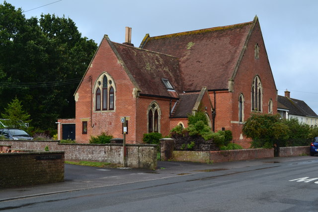
St Peter and St Paul's Church, Caundle Marsh

St Peter and St Paul's Church is a Church of England parish church in Caundle Marsh, Dorset, England. It was designed by Robert Howard Shout and built...

Nearby Amenities

Located within 500m of 50.890474,-2.4392932
Power: pole
Source: bing
Lat/Long: 50.8931129/-2.4443266
Power: pole
Source: bing
Lat/Long: 50.8938725/-2.4427441
The data included in this document is from www.openstreetmap.org. The data is made available under ODbL.

Have you been to Manor Plantation?

Leave your review of Manor Plantation below (or comments, questions and feedback).