Breach Wood

Wood, Forest in Dorset

England

Breach Wood

Oaks, Beaulieu Wood By the lane to Duntish Cross.
Oaks, Beaulieu Wood Credit: Derek Harper

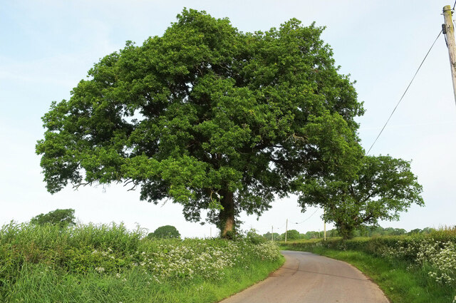
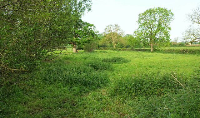
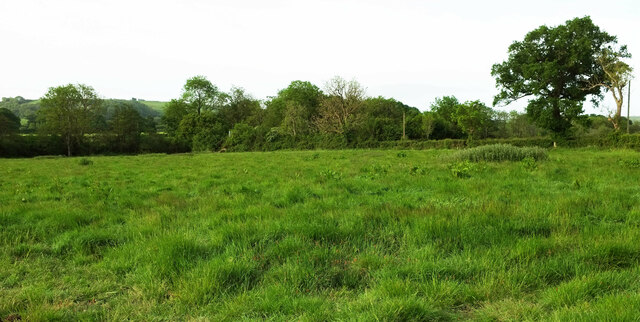
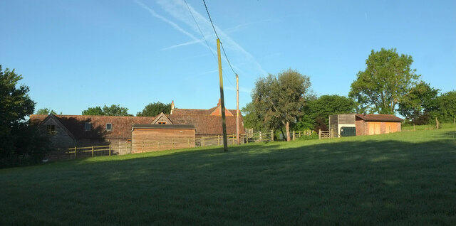
Breach Wood is a picturesque woodland located in the county of Dorset, England. Spread across an area of approximately 100 acres, this enchanting forest is a haven for nature enthusiasts and outdoor lovers. The wood is situated near the small village of Briantspuddle, nestled among the rolling hills of the Dorset countryside.

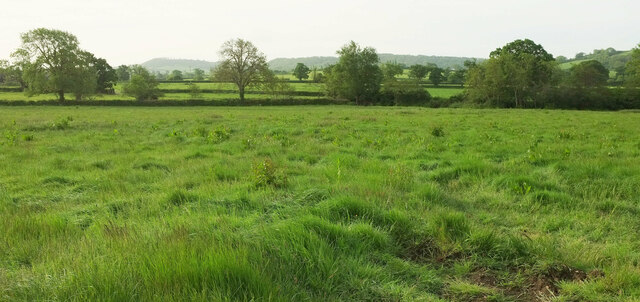
The woodland is predominantly composed of mixed deciduous trees, including oak, beech, and ash, which create a vibrant and colorful canopy throughout the changing seasons. This diverse range of trees provides an ideal habitat for a variety of wildlife, including deer, foxes, badgers, and a plethora of bird species.

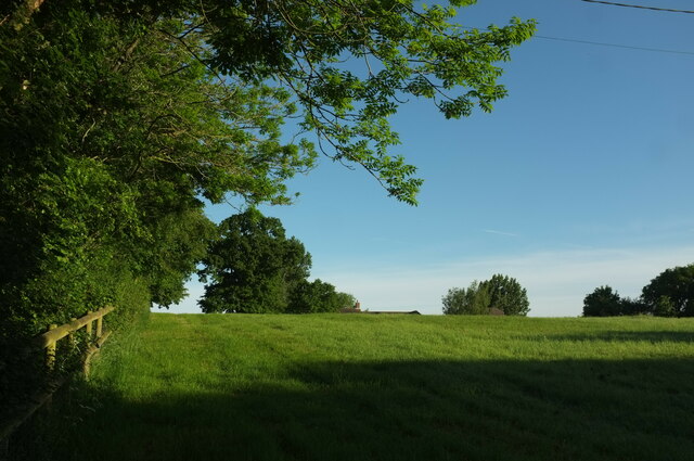
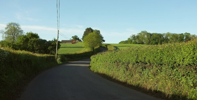
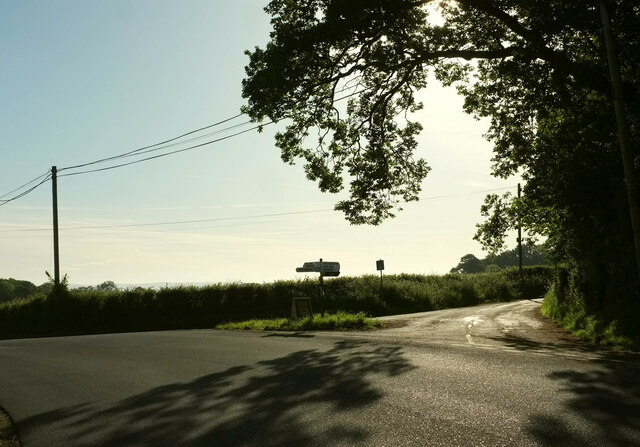
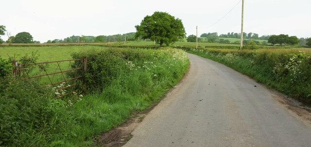
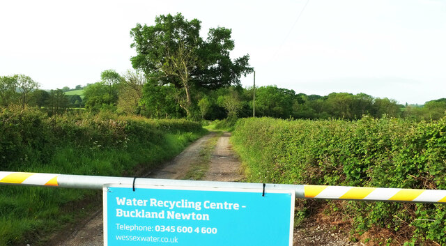
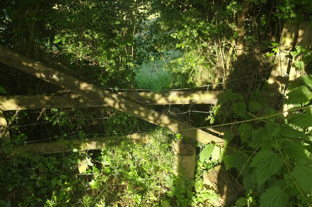
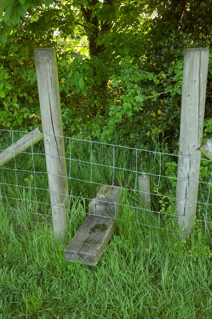
Breach Wood is renowned for its extensive network of walking trails and footpaths, which wind their way through the forest, offering visitors the opportunity to explore its natural beauty. The pathways are well-maintained and suitable for all ages and fitness levels, making it an ideal destination for families and nature enthusiasts alike.

In addition to its natural beauty, Breach Wood also holds historical significance. It is believed that the wood has been in existence for centuries, and remnants of ancient settlements and earthworks have been discovered within its boundaries.

Visitors to Breach Wood can enjoy a peaceful and tranquil atmosphere, immersing themselves in the beauty of nature. Whether it's a leisurely stroll, birdwatching, or simply a desire to escape the hustle and bustle of everyday life, Breach Wood offers a serene environment for all to enjoy.

If you have any feedback on the listing, please let us know in the comments section below.

Breach Wood Images

Images are sourced within 2km of 50.867311/-2.4390895 or Grid Reference ST6907. Thanks to Geograph Open Source API. All images are credited.

Oaks, Beaulieu Wood By the lane to Duntish Cross.
Oaks, Beaulieu Wood
By the lane to Duntish Cross.
Field, West Pulham The nightmare that is footpath N49 20 is drawing to a close. Currently my nomination for Dorset's worst right of way (of those I've completed), and there's tough competition. Visible in the centre is the roof of Chaselands.
Field, West Pulham
The nightmare that is footpath N49 20 is drawing to a close. Currently my nomination for Dorset's worst right of way (of those I've completed), and there's tough competition. Visible in the centre is the roof of Chaselands.
B3143 south of Pulham The B road crosses a slight dip on its way towards Duntish. The farm is Towns End Farm. The wood on the right is Brickkiln Coppice.
B3143 south of Pulham
The B road crosses a slight dip on its way towards Duntish. The farm is Towns End Farm. The wood on the right is Brickkiln Coppice.
Grass triangle near Pulham Part of a staggered crossroads on the B3143, bearing left here. The turning on the right is Cannings Court Lane, a no through road.
Grass triangle near Pulham
Part of a staggered crossroads on the B3143, bearing left here. The turning on the right is Cannings Court Lane, a no through road.
Twin Waters, Beaulieu Wood The listed house <span class="nowrap"><a title="https://historicengland.org.uk/listing/the-list/list-entry/1118889?section=official-list-entry" rel="nofollow ugc noopener" href="https://historicengland.org.uk/listing/the-list/list-entry/1118889?section=official-list-entry">Link</a><img style="margin-left:2px;" alt="External link" title="External link - shift click to open in new window" src="https://s1.geograph.org.uk/img/external.png" width="10" height="10"/></span> is shown much more clearly at <a href="https://www.geograph.org.uk/photo/386137">ST7006 : Twin Waters - Beaulieu Wood</a>. This view is from the road.
Twin Waters, Beaulieu Wood
The listed house LinkExternal link is shown much more clearly at ST7006 : Twin Waters - Beaulieu Wood. This view is from the road.
Beaulieu Wood Farm The road becomes quite sinuous here.
Beaulieu Wood Farm
The road becomes quite sinuous here.
Cattle near Beaulieu Wood Farm Looking left from <a href="https://www.geograph.org.uk/photo/7521333">ST7006 : Beaulieu Wood Farm</a>.
Cattle near Beaulieu Wood Farm
Looking left from ST7006 : Beaulieu Wood Farm.
Field near Beaulieu Wood Farm The trees across the field are alongside the River Lydden.
Field near Beaulieu Wood Farm
The trees across the field are alongside the River Lydden.
Road, Beaulieu Wood Looking left from <a href="https://www.geograph.org.uk/photo/7521369">ST7006 : Field near Beaulieu Wood Farm</a>.
Road, Beaulieu Wood
Field, Beaulieu Wood A narrow triangular field bordered by the River Lydden on the left.
Field, Beaulieu Wood
A narrow triangular field bordered by the River Lydden on the left.
Road to Duntish From Beaulieu Wood.
Road to Duntish
From Beaulieu Wood.
Arable field west of Beaulieu Wood Puddles seen from a gateway of the road to Duntish.
Arable field west of Beaulieu Wood
Puddles seen from a gateway of the road to Duntish.
Farmland by Beaulieu Wood sewage works A view from the road east of Duntish.
Farmland by Beaulieu Wood sewage works
A view from the road east of Duntish.
Field by Beaulieu Wood sewage works Looking right from <a href="https://www.geograph.org.uk/photo/7522241">ST7006 : Farmland by Beaulieu Wood sewage works</a>; the sewage works is hidden by the trees.
Field by Beaulieu Wood sewage works
Looking right from ST7006 : Farmland by Beaulieu Wood sewage works; the sewage works is hidden by the trees.
Entrance to sewage works near Beaulieu Wood The sign on the gate says "Water Recycling Centre"; the 1:25000 map say "Sewage Works". Both are true.
Entrance to sewage works near Beaulieu Wood
The sign on the gate says "Water Recycling Centre"; the 1:25000 map say "Sewage Works". Both are true.
Damaged stile near Pulham The stile on footpath N49 20 glimpsed from the other side at <a href="https://www.geograph.org.uk/photo/7560802">ST6908 : Overgrown stile near Pulham</a>. A time-consuming stretch of footpath.
Damaged stile near Pulham
The stile on footpath N49 20 glimpsed from the other side at ST6908 : Overgrown stile near Pulham. A time-consuming stretch of footpath.
Stile near Pulham Compared to the last stile <a href="https://www.geograph.org.uk/photo/7560806">ST7008 : Damaged stile near Pulham</a>, this looks fine, but beyond it the course of footpath N49 20 is through absolutely impenetrable woodland, even if daylight can be seen on the far side of the field boundary. I've no intention of retracing my steps given the difficulty of doing so, so will have to look for another route.
Stile near Pulham
Compared to the last stile ST7008 : Damaged stile near Pulham, this looks fine, but beyond it the course of footpath N49 20 is through absolutely impenetrable woodland, even if daylight can be seen on the far side of the field boundary. I've no intention of retracing my steps given the difficulty of doing so, so will have to look for another route.
Farm, Pulham Taken while trying to find alternative route for footpath N49 20 after the impossibility of using <a href="https://www.geograph.org.uk/photo/7560808">ST7008 : Stile near Pulham</a>. The farm is unnamed on maps.
Farm, Pulham
Taken while trying to find alternative route for footpath N49 20 after the impossibility of using ST7008 : Stile near Pulham. The farm is unnamed on maps.
Show me another place!

Breach Wood is located at Grid Ref: ST6907 (Lat: 50.867311, Lng: -2.4390895)

Unitary Authority: Dorset

Police Authority: Dorset

What 3 Words

///remaking.slice.reframe. Near Sherborne, Dorset

Related Wikis

Dungeon Hill

Dungeon Hill is an Iron Age hillfort, about 1+1⁄4 miles (2 kilometres) north of the village of Buckland Newton in Dorset, England. It is a scheduled monument...

Glanvilles Wootton

Glanvilles Wootton, or Wootton Glanville, is a village and civil parish in the county of Dorset in southern England. It is situated in the Blackmore Vale...

Pulham

Pulham is a village and civil parish in the county of Dorset in south-west England. It is situated in the Blackmore Vale, 7 miles (11 kilometres) southeast...
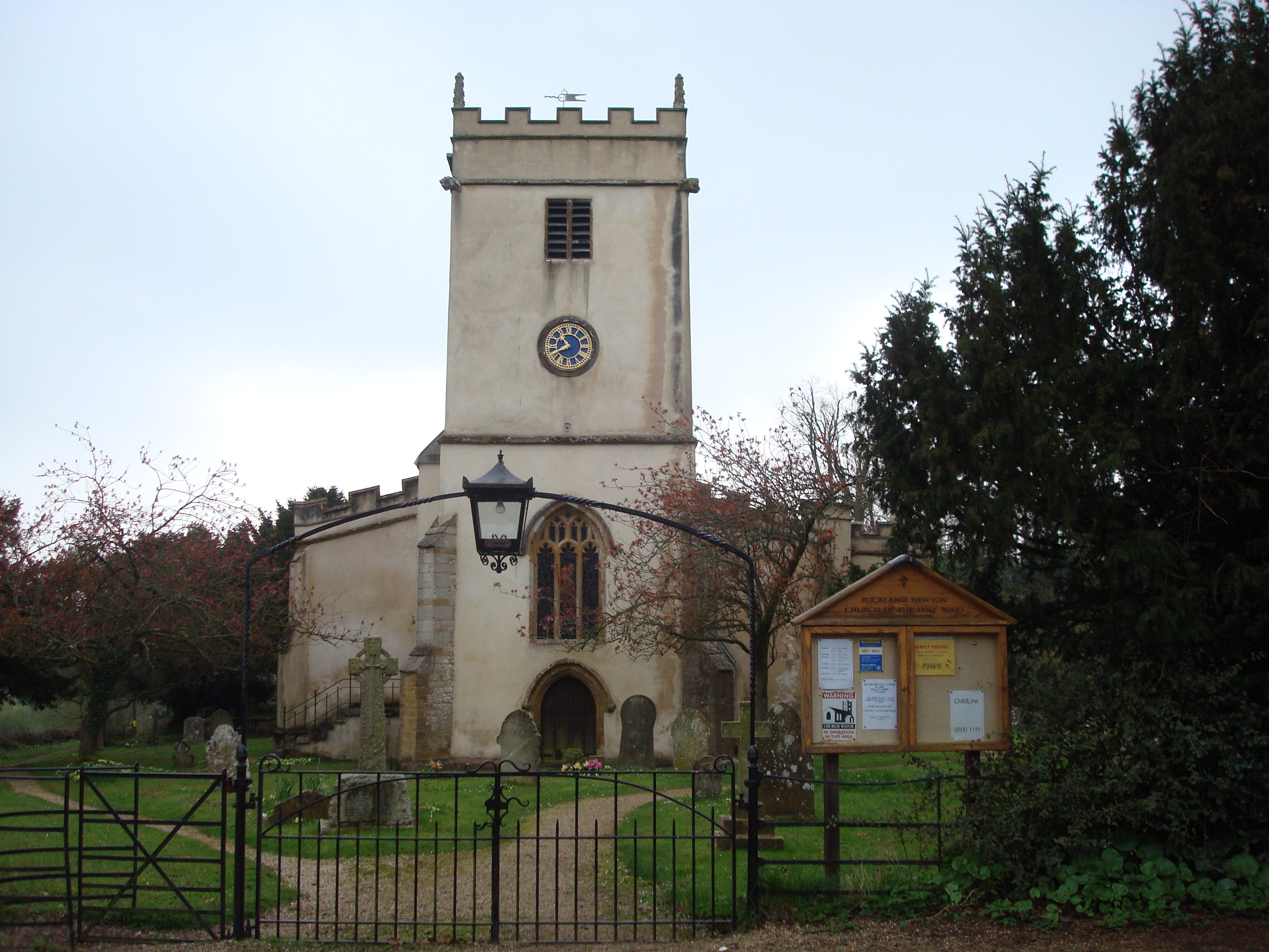
Buckland Newton

Buckland Newton is a village and civil parish in Dorset, England. It is situated beneath the scarp slope of the Dorset Downs, 7+1⁄2 miles (12.1 km) south...

Have you been to Breach Wood?

Leave your review of Breach Wood below (or comments, questions and feedback).