The Hazels
Wood, Forest in Dorset
England
The Hazels
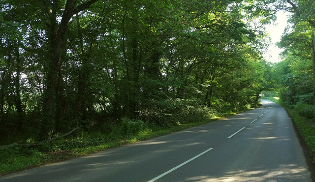
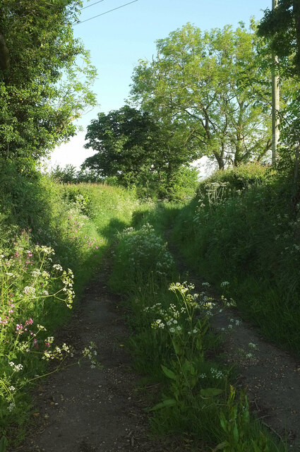
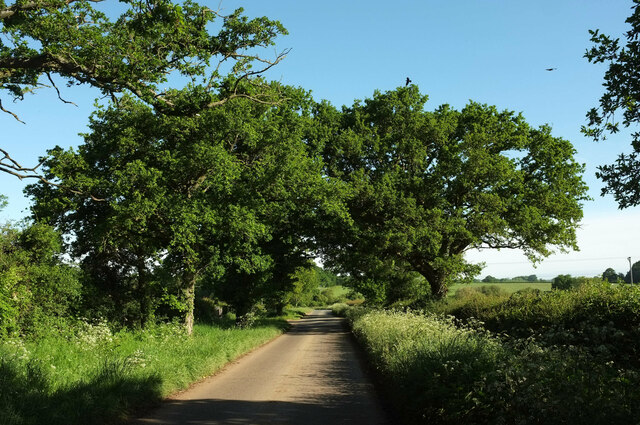
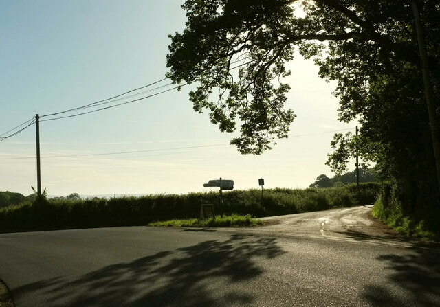
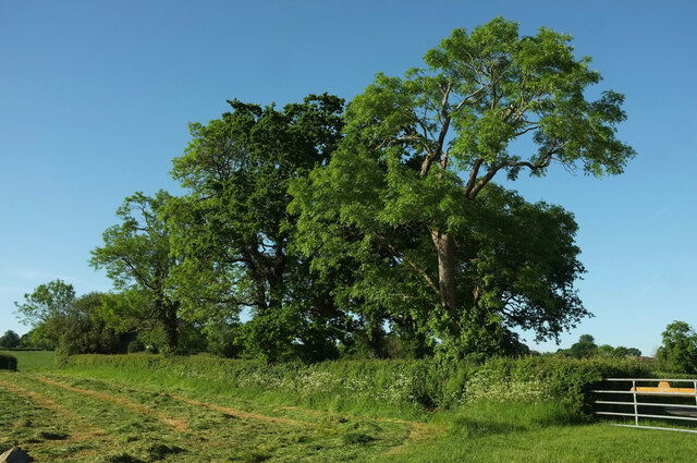
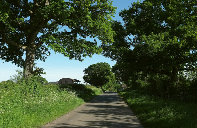
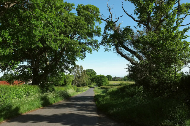
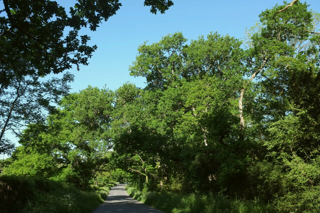
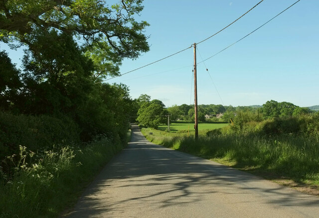
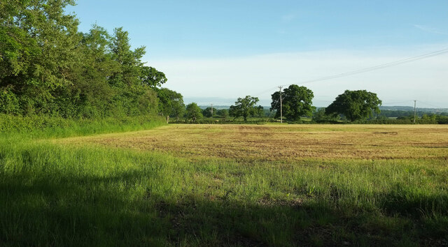
The Hazels, located in Dorset, is a picturesque wood or forest that boasts an array of natural beauty and diverse flora and fauna. Stretching over a considerable area, The Hazels is characterized by dense woodland, towering trees, and a tranquil ambiance that offers a peaceful retreat from the hustle and bustle of everyday life.
The wood is known for its breathtaking scenery, with tall oak, beech, and ash trees dominating the landscape. These majestic trees provide a canopy that filters sunlight, creating a dappled effect on the forest floor. The Hazels is also home to a variety of wildlife, including deer, foxes, badgers, and numerous bird species. It is a haven for nature enthusiasts and birdwatchers alike.
Visitors to The Hazels can enjoy a range of activities, such as hiking, cycling, and picnicking. The wood features well-maintained trails that wind through the forest, offering opportunities to explore the area and discover hidden gems along the way. The peacefulness of the surroundings makes it an ideal spot for meditation and mindfulness activities.
The Hazels is open to the public year-round, with different seasons offering unique experiences. Spring brings a vibrant display of wildflowers, while autumn showcases a breathtaking array of colors as the foliage changes. The wood is easily accessible, with ample parking and well-marked trails, making it suitable for individuals of all ages and abilities.
Overall, The Hazels in Dorset is a captivating wood that provides a tranquil escape into nature, offering stunning scenery, abundant wildlife, and a range of activities for visitors to enjoy.
If you have any feedback on the listing, please let us know in the comments section below.
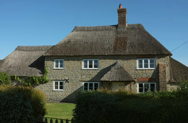
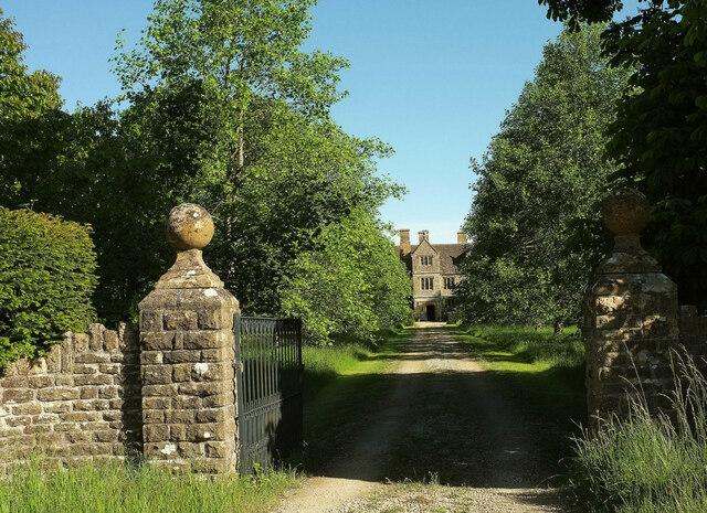
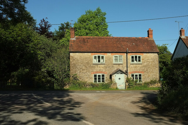
The Hazels Images
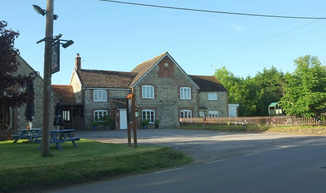
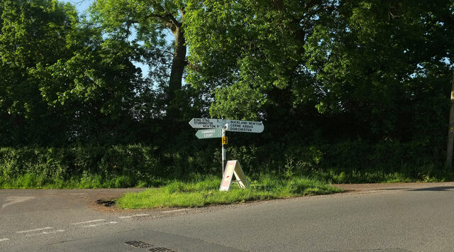
Images are sourced within 2km of 50.891379/-2.4305578 or Grid Reference ST6910. Thanks to Geograph Open Source API. All images are credited.
The Hazels is located at Grid Ref: ST6910 (Lat: 50.891379, Lng: -2.4305578)
Unitary Authority: Dorset
Police Authority: Dorset
What 3 Words
///mourner.turntable.lists. Near Stalbridge, Dorset
Nearby Locations
Related Wikis

Holwell, Dorset
Holwell is a village and civil parish in the county of Dorset in southern England, situated approximately 5 miles (8.0 km) south-east of Sherborne. It...

Pulham
Pulham is a village and civil parish in the county of Dorset in south-west England. It is situated in the Blackmore Vale, 7 miles (11 kilometres) southeast...

Woodbridge, Dorset
Woodbridge is a hamlet in Dorset, England. The village is on the A3030 road and to the north east of Holwell. == History == Woodbridge was part of the...

Bishop's Caundle
Bishop's Caundle is a village and civil parish in Dorset, South West England. It is situated 6 miles (9.7 km) south-east of Sherborne. The local travel...

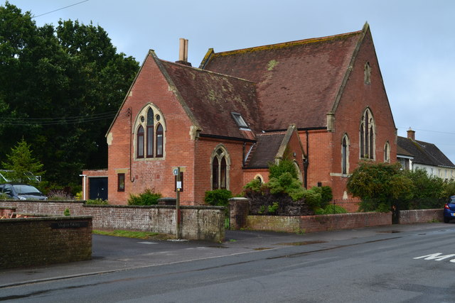
King's Stag Memorial Chapel
King's Stag Memorial Chapel is a Church of England chapel in King's Stag, Dorset, England. == History == The memorial chapel at King's Stag was built in...

Glanvilles Wootton
Glanvilles Wootton, or Wootton Glanville, is a village and civil parish in the county of Dorset in southern England. It is situated in the Blackmore Vale...

Dungeon Hill
Dungeon Hill is an Iron Age hillfort, about 1+1⁄4 miles (2 kilometres) north of the village of Buckland Newton in Dorset, England. It is a scheduled monument...
Holnest SSSI, Dorset
Holnest SSSI, Dorset (grid reference ST667106) is a 54.83 hectare biological Site of Special Scientific Interest in Dorset, notified in 2004.The site has...
Have you been to The Hazels?
Leave your review of The Hazels below (or comments, questions and feedback).