The Strip

Wood, Forest in Dorset

England

The Strip

Former chapel at Holwell
Former chapel at Holwell Credit: David Martin

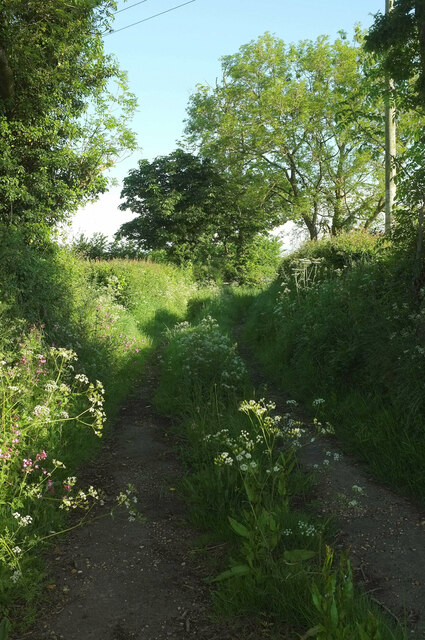
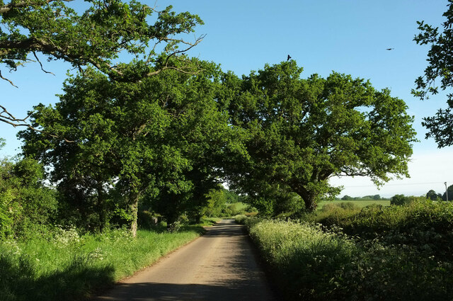
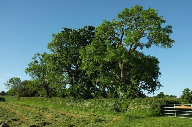
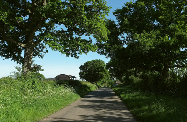
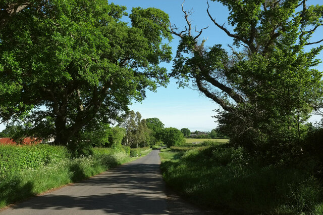
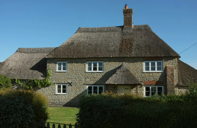
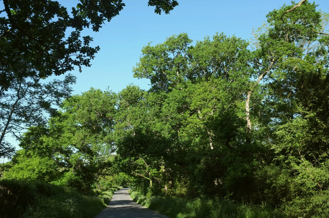
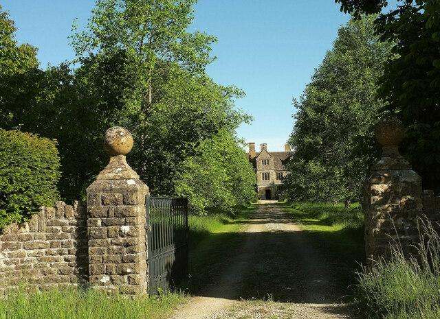
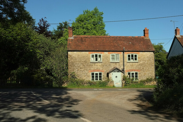
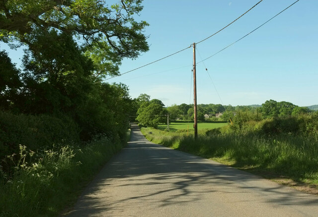
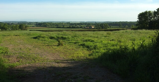
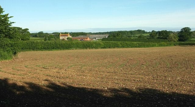
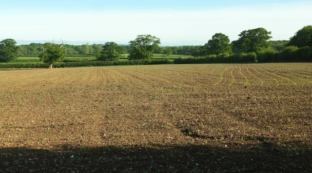
The Strip, located in Dorset, England, is a picturesque area known for its dense woodlands and lush forests. Situated amidst the beautiful landscapes of the county, this area offers breathtaking scenery and a tranquil atmosphere for nature enthusiasts and explorers alike.

The woodlands of The Strip are rich in biodiversity, housing a variety of plant and animal species. A diverse range of trees, including oak, beech, and birch, dominate the landscape, creating a dense canopy that provides shade and shelter to the forest floor. The forest is also home to an array of wildlife, such as deer, badgers, foxes, and an assortment of bird species.

The Strip offers various recreational activities for visitors. Hiking and walking trails wind through the woodlands, providing opportunities to explore the natural beauty of the area. These trails cater to all levels of fitness, ensuring that everyone can enjoy the experience. The serene environment makes The Strip an ideal spot for birdwatching, as well as photography enthusiasts looking to capture the beauty of nature.

During the autumn months, the woodlands of The Strip transform into a vibrant display of colors, with the leaves of the trees turning shades of orange, red, and gold. This spectacle attracts many visitors who come to witness the breathtaking autumnal scenery.

Overall, The Strip in Dorset offers a serene and idyllic retreat for those seeking solace in nature. Its dense woodlands, diverse wildlife, and recreational activities make it an appealing destination for individuals and families looking to immerse themselves in the beauty of the natural world.

If you have any feedback on the listing, please let us know in the comments section below.

The Strip Images

Images are sourced within 2km of 50.891585/-2.4332895 or Grid Reference ST6910. Thanks to Geograph Open Source API. All images are credited.

Former chapel at Holwell
Footpath, Furze Hill Footpath N49 14 runs along this track between hedges from the B3143 before turning left to cross fields.
Footpath, Furze Hill
Footpath N49 14 runs along this track between hedges from the B3143 before turning left to cross fields.
Lane to Holwell Roadside trees on a straight lane passing Oakwood View.
Lane to Holwell
Roadside trees on a straight lane passing Oakwood View.
Trees near Hartmoor Farm Along the lane from Holwell to Pulham.
Trees near Hartmoor Farm
Along the lane from Holwell to Pulham.
Passing Holwell Hill Farm On the lane from Pulham to Holwell.
Passing Holwell Hill Farm
On the lane from Pulham to Holwell.
Lane to Holwell A little further north from <a href="https://www.geograph.org.uk/photo/7184565">ST7010 : Passing Holwell Hill Farm</a>. A little of the village of Holwell is visible ahead right of centre.
Lane to Holwell
A little further north from ST7010 : Passing Holwell Hill Farm. A little of the village of Holwell is visible ahead right of centre.
Crouch Hill Farm The thatched farmhouse on Holwell Drove is "possibly of C17 origin ..." <span class="nowrap"><a title="https://historicengland.org.uk/listing/the-list/list-entry/1304895?section=official-list-entry" rel="nofollow ugc noopener" href="https://historicengland.org.uk/listing/the-list/list-entry/1304895?section=official-list-entry">Link</a><img style="margin-left:2px;" alt="External link" title="External link - shift click to open in new window" src="https://s1.geograph.org.uk/img/external.png" width="10" height="10"/></span> .
Crouch Hill Farm
The thatched farmhouse on Holwell Drove is "possibly of C17 origin ..." LinkExternal link .
Holwell Drove Approaching a slight right bend, the only bend in the one and a half kilometres road between Holwell and Sandhills. Its drove-like quality is more pronounced towards the western end.
Holwell Drove
Approaching a slight right bend, the only bend in the one and a half kilometres road between Holwell and Sandhills. Its drove-like quality is more pronounced towards the western end.
Holwell Manor House Grade II* listed. "Country House, C16 with much rebuilding of 1889" <span class="nowrap"><a title="https://historicengland.org.uk/listing/the-list/list-entry/1118845?section=official-list-entry" rel="nofollow ugc noopener" href="https://historicengland.org.uk/listing/the-list/list-entry/1118845?section=official-list-entry">Link</a><img style="margin-left:2px;" alt="External link" title="External link - shift click to open in new window" src="https://s1.geograph.org.uk/img/external.png" width="10" height="10"/></span> . Seen past the entrance gate on Holwell Drove <a href="https://www.geograph.org.uk/photo/7564503">ST6810 : Holwell Drove</a>.
Holwell Manor House
Grade II* listed. "Country House, C16 with much rebuilding of 1889" LinkExternal link . Seen past the entrance gate on Holwell Drove ST6810 : Holwell Drove.
Cottage, Sandhills Tess Cottage is opposite the junction of Holwell Drove (foreground) with Stock Hill Lane. Presumably named as a whimsical reference to Hardy's famous character who spent time in the Blackmore Vale, which we are in.
Cottage, Sandhills
Tess Cottage is opposite the junction of Holwell Drove (foreground) with Stock Hill Lane. Presumably named as a whimsical reference to Hardy's famous character who spent time in the Blackmore Vale, which we are in.
Stock Hill Lane Passing Rails Farm. To the right of the telegraph pole is Magog Farm.
Stock Hill Lane
Passing Rails Farm. To the right of the telegraph pole is Magog Farm.
Pulham Not the prettiest of Dorset villages. The B3143 on the right passes through; the turning on the left is Halsey Green. The church is isolated on a side road off to the east <a title="https://www.geograph.org.uk/gridref/ST7108?centi=ST711085" href="https://www.geograph.org.uk/gridref/ST7108?centi=ST711085">Link</a> .
Pulham
Not the prettiest of Dorset villages. The B3143 on the right passes through; the turning on the left is Halsey Green. The church is isolated on a side road off to the east Link .
Junction near Pulham Part of the staggered junction whose signpost appears at <a href="https://www.geograph.org.uk/photo/7562032">ST7008 : Signpost near Pulham</a>. The left turn is for Holwell.
Junction near Pulham
Part of the staggered junction whose signpost appears at ST7008 : Signpost near Pulham. The left turn is for Holwell.
Towards Hartmoor Farm From the gateway on the right of <a href="https://www.geograph.org.uk/photo/7562053">ST7008 : Junction near Pulham</a>.
Towards Hartmoor Farm
From the gateway on the right of ST7008 : Junction near Pulham.
Farmland near Furze Hill The view on the other side of B3143 from <a href="https://www.geograph.org.uk/photo/7562113">ST7109 : Trees near Furze Hill</a>. On the right is Hartmoor Farm.
Farmland near Furze Hill
The view on the other side of B3143 from ST7109 : Trees near Furze Hill. On the right is Hartmoor Farm.
Arable field near Hartmoor Farm From a gateway beside footpath N49 14 as it runs through an irregular narrow field between hedges.
Arable field near Hartmoor Farm
From a gateway beside footpath N49 14 as it runs through an irregular narrow field between hedges.
Arable field near Hartmoor Farm Looking right from <a href="https://www.geograph.org.uk/photo/7562508">ST7109 : Arable field near Hartmoor Farm</a>.
Arable field near Hartmoor Farm
Tricky gate near Furze Hill I don't do knots so any gate fastened with them has to be climbed. This one, on footpath N49 14, wasn't easy. Thanks, landowner.
Tricky gate near Furze Hill
I don't do knots so any gate fastened with them has to be climbed. This one, on footpath N49 14, wasn't easy. Thanks, landowner.
Show me another place!

The Strip is located at Grid Ref: ST6910 (Lat: 50.891585, Lng: -2.4332895)

Unitary Authority: Dorset

Police Authority: Dorset

What 3 Words

///sweated.technical.changing. Near Sherborne, Dorset

Related Wikis

Holwell, Dorset

Holwell is a village and civil parish in the county of Dorset in southern England, situated approximately 5 miles (8.0 km) south-east of Sherborne. It...

Pulham

Pulham is a village and civil parish in the county of Dorset in south-west England. It is situated in the Blackmore Vale, 7 miles (11 kilometres) southeast...

Woodbridge, Dorset

Woodbridge is a hamlet in Dorset, England. The village is on the A3030 road and to the north east of Holwell. == History == Woodbridge was part of the...

Bishop's Caundle

Bishop's Caundle is a village and civil parish in Dorset, South West England. It is situated 6 miles (9.7 km) south-east of Sherborne. The local travel...

Glanvilles Wootton

Glanvilles Wootton, or Wootton Glanville, is a village and civil parish in the county of Dorset in southern England. It is situated in the Blackmore Vale...

Holnest SSSI, Dorset

Holnest SSSI, Dorset (grid reference ST667106) is a 54.83 hectare biological Site of Special Scientific Interest in Dorset, notified in 2004.The site has...

Dungeon Hill

Dungeon Hill is an Iron Age hillfort, about 1+1⁄4 miles (2 kilometres) north of the village of Buckland Newton in Dorset, England. It is a scheduled monument...

King's Stag Memorial Chapel

King's Stag Memorial Chapel is a Church of England chapel in King's Stag, Dorset, England. == History == The memorial chapel at King's Stag was built in...

Have you been to The Strip?

Leave your review of The Strip below (or comments, questions and feedback).