Wick's Hill Plantation

Wood, Forest in Gloucestershire

England

Wick's Hill Plantation

Entrance drive to Tortworth Court Hotel
Entrance drive to Tortworth Court Hotel Credit: Gareth James

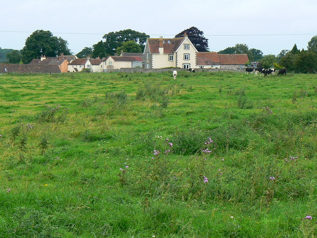
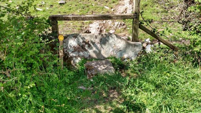
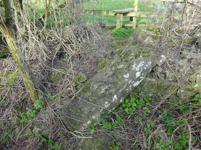
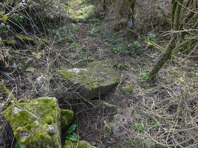
Wick's Hill Plantation is a scenic woodland area located in Gloucestershire, England. Covering an expansive area of approximately 500 acres, it is nestled in the heart of the picturesque countryside. The plantation is renowned for its lush greenery, diverse flora, and tranquil ambiance, making it a popular destination for nature enthusiasts and hikers.

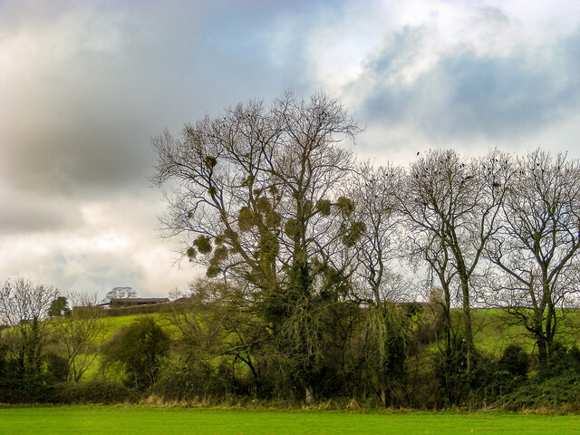
The woodland is primarily composed of a mixture of deciduous and coniferous trees, creating a rich tapestry of colors throughout the seasons. Ancient oak and beech trees dominate the landscape, their majestic presence adding to the plantation's charm. Additionally, the plantation boasts a variety of plant species, including wildflowers, ferns, and mosses, which thrive in the damp and fertile soil.

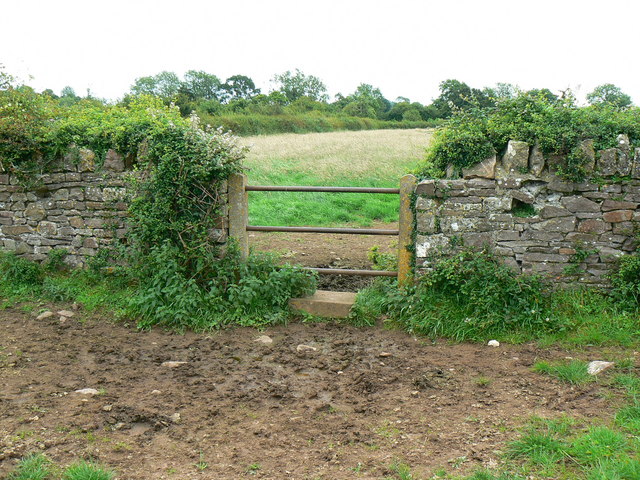
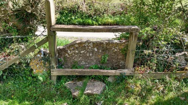
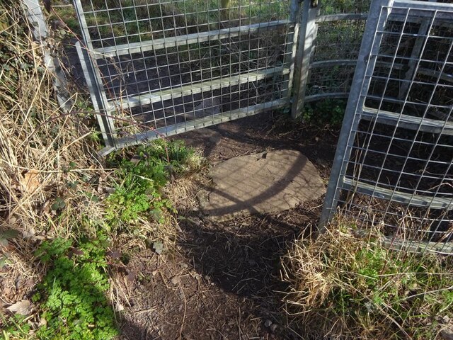
Wick's Hill Plantation offers a network of well-maintained walking trails, allowing visitors to explore its natural wonders at their own pace. The trails wind through the woodland, meandering past babbling brooks, small ponds, and picturesque clearings. Along the way, visitors can encounter an array of wildlife, including deer, squirrels, and various bird species.

For those seeking a peaceful retreat, Wick's Hill Plantation provides several designated picnic areas, where visitors can relax and enjoy the serenity of their surroundings. The plantation also offers educational programs and guided tours, providing visitors with insights into the local ecosystem and conservation efforts.

Overall, Wick's Hill Plantation in Gloucestershire is a captivating destination for nature lovers, offering a breathtaking display of natural beauty and a serene escape from the hustle and bustle of everyday life.

If you have any feedback on the listing, please let us know in the comments section below.

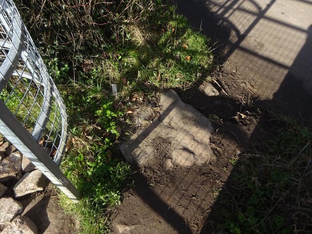
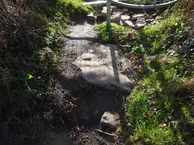
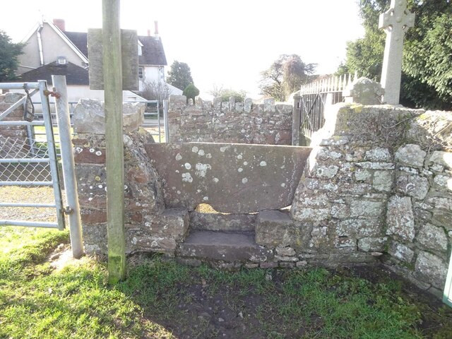
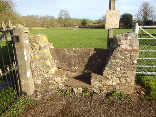
Wick's Hill Plantation Images

Images are sourced within 2km of 51.619143/-2.4462823 or Grid Reference ST6991. Thanks to Geograph Open Source API. All images are credited.

Entrance drive to Tortworth Court Hotel
Welcome to CROMHALL -  Please drive carefully The 50mph speed limit on the B4058 Bristol Road in South Gloucestershire here drops to 30mph.
Welcome to CROMHALL - Please drive carefully
The 50mph speed limit on the B4058 Bristol Road in South Gloucestershire here drops to 30mph.
Footpath towards Heath End The footpath stretches from the viewpoint towards the housing in the background. Although signposted, the path is hard to discern on the ground.
Footpath towards Heath End
The footpath stretches from the viewpoint towards the housing in the background. Although signposted, the path is hard to discern on the ground.
Stile and footpath near Heath End The stile isn't particularly user-friendly by comparison with other designs to be seen. The rather ill-defined footpath carries on towards the hedge in the distance.
Stile and footpath near Heath End
The stile isn't particularly user-friendly by comparison with other designs to be seen. The rather ill-defined footpath carries on towards the hedge in the distance.
A mistletoe infestation A phenomenon I had not seen before this journey along the M5, where a seemingly localised colony of mistletoe made itself known on the trees of Gloucestershire and Worcestershire. This tree is located near Whitfield, Thornbury.
A mistletoe infestation
A phenomenon I had not seen before this journey along the M5, where a seemingly localised colony of mistletoe made itself known on the trees of Gloucestershire and Worcestershire. This tree is located near Whitfield, Thornbury.
Stone Stile, Cromhall On Gloucestershire footpath OCR/7 looking towards Spring Lane. The view from the road is <a href="https://www.geograph.org.uk/photo/7220053">ST6890 : Stone Stile, Cromhall</a>.
Stone Stile, Cromhall
On Gloucestershire footpath OCR/7 looking towards Spring Lane. The view from the road is ST6890 : Stone Stile, Cromhall.
Stone Stile, Cromhall On Gloucestershire footpath OCR/7 looking from Spring Lane. The view to the road is <a href="https://www.geograph.org.uk/photo/7220050">ST6890 : Stone Stile, Cromhall</a>.
Stone Stile, Cromhall
On Gloucestershire footpath OCR/7 looking from Spring Lane. The view to the road is ST6890 : Stone Stile, Cromhall.
Tortworth Court Hotel
Tortworth Court Hotel - framed
Stone Stiles, Cromhall On Gloucestershire footpath OCR/36 just as it exits the trees. Part of Abbots-side Court Farm. This view is looking SE out from the wood, the view back is <a href="https://www.geograph.org.uk/photo/7412321">ST6890 : Stone Stiles, Cromhall</a>.
Stone Stiles, Cromhall
On Gloucestershire footpath OCR/36 just as it exits the trees. Part of Abbots-side Court Farm. This view is looking SE out from the wood, the view back is ST6890 : Stone Stiles, Cromhall.
Stone Stiles, Cromhall On Gloucestershire footpath OCR/36 just as it exits the trees. Part of Abbots-side Court Farm. This view is looking SE into the wood, the view back is <a href="https://www.geograph.org.uk/photo/7412319">ST6890 : Stone Stiles, Cromhall</a>.
Stone Stiles, Cromhall
On Gloucestershire footpath OCR/36 just as it exits the trees. Part of Abbots-side Court Farm. This view is looking SE into the wood, the view back is ST6890 : Stone Stiles, Cromhall.
Stone Stiles, Cromhall A "Fallen Idle" on Gloucestershire footpath OCR/5 looking North into fields from Spring Lane.
Stone Stiles, Cromhall
A "Fallen Idle" on Gloucestershire footpath OCR/5 looking North into fields from Spring Lane.
Stone Stiles, Cromhall On Gloucestershire footpath OCR/4 looking from Gambril Hill. The view looking to the road is <a href="https://www.geograph.org.uk/photo/7412378">ST6890 : Stone Stiles, Cromhall</a>.
Stone Stiles, Cromhall
On Gloucestershire footpath OCR/4 looking from Gambril Hill. The view looking to the road is ST6890 : Stone Stiles, Cromhall.
Stone Stiles, Cromhall On Gloucestershire footpath OCR/4 looking to Gambril Hill. The view looking from the road is <a href="https://www.geograph.org.uk/photo/7412376">ST6890 : Stone Stiles, Cromhall</a>.
Stone Stiles, Cromhall
On Gloucestershire footpath OCR/4 looking to Gambril Hill. The view looking from the road is ST6890 : Stone Stiles, Cromhall.
Stone Stiles, Cromhall On Gloucestershire footpath OCR/7 looking to the South side of Spring Lane. The view from the road is <a href="https://www.geograph.org.uk/photo/7412393">ST6990 : Stone Stiles, Cromhall</a>.
Stone Stiles, Cromhall
On Gloucestershire footpath OCR/7 looking to the South side of Spring Lane. The view from the road is ST6990 : Stone Stiles, Cromhall.
Stone Stiles, Cromhall On Gloucestershire footpath OCR/7 looking from the South side of Spring Lane. The view towards the road is <a href="https://www.geograph.org.uk/photo/7412391">ST6990 : Stone Stiles, Cromhall</a>.
Stone Stiles, Cromhall
On Gloucestershire footpath OCR/7 looking from the South side of Spring Lane. The view towards the road is ST6990 : Stone Stiles, Cromhall.
Stone Stiles, Cromhall On Gloucestershire footpath OCR/7 near the church, looking SW. The view NE is <a href="https://www.geograph.org.uk/photo/7412409">ST6990 : Stone Stiles, Cromhall</a>.
Stone Stiles, Cromhall
On Gloucestershire footpath OCR/7 near the church, looking SW. The view NE is ST6990 : Stone Stiles, Cromhall.
Stone Stiles, Cromhall On Gloucestershire footpath OCR/7 near the church, looking NE. The view SW is <a href="https://www.geograph.org.uk/photo/7412407">ST6990 : Stone Stiles, Cromhall</a>.
Stone Stiles, Cromhall
On Gloucestershire footpath OCR/7 near the church, looking NE. The view SW is ST6990 : Stone Stiles, Cromhall.
Show me another place!

Wick's Hill Plantation is located at Grid Ref: ST6991 (Lat: 51.619143, Lng: -2.4462823)

Unitary Authority: South Gloucestershire

Police Authority: Avon and Somerset

What 3 Words

///heaven.deaf.hammer. Near Falfield, Gloucestershire

Related Wikis

Bibstone

Bibstone is a village in Gloucestershire, England. == External links == Media related to Bibstone at Wikimedia Commons

Cromhall

Cromhall is a village in South Gloucestershire, England. It is located between Bagstone and Charfield on the B4058, and also borders Leyhill. The parish...

HM Prison Leyhill

HM Prison Leyhill is a Category D men's prison located in the parish of Tortworth in Gloucestershire, England. His Majesty's Prison Service operates Leyhill...

Slickstones Quarry, Cromhall

Slickstones Quarry, Cromhall (grid reference ST704916) is a 2.7 hectare geological Site of Special Scientific Interest near the village of Cromhall, South...
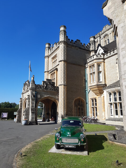
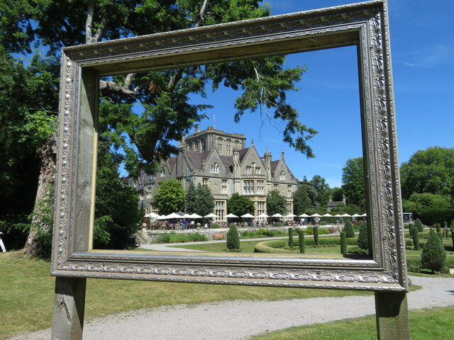
Tortworth Court

Tortworth Court is a Victorian mansion in Tortworth near Thornbury, South Gloucestershire. England. It was built in Tudor style for the 2nd Earl of Ducie...

Whitfield, Gloucestershire

Whitfield is a hamlet in South Gloucestershire, England. == Location == It is on the A38 near Falfield. Located just beyond the B4061 junction, the rural...

Brinkmarsh Quarry

Brinkmarsh Quarry (grid reference ST674913) is a 0.5 hectare geological Site of Special Scientific Interest near the town of Thornbury, South Gloucestershire...

Tortworth

Tortworth is a small village and civil parish, near Thornbury in Gloucestershire, England. It has a population of 147 as of 2011. It lies on the B4509...

Nearby Amenities

Located within 500m of 51.619143,-2.4462823
Barrier: stile
Lat/Long: 51.6177321/-2.449564
Barrier: stile
Lat/Long: 51.6158242/-2.4448578
Barrier: stile
Lat/Long: 51.6159226/-2.4465775
Barrier: stile
Lat/Long: 51.6164816/-2.4468708
Barrier: stile
Lat/Long: 51.6164367/-2.4478551
Butchers Hill
Alt Name: Wicks' Hill
Natural: peak
Note: OS calls this Wicks Hill, but apparently that's the name of the field, not the hill.
Lat/Long: 51.6172468/-2.4438798
Ankers Well
Lat/Long: 51.6207599/-2.4447727
Bloody Acre Hill Fort
Archaeological Site: fortification
Historic: archaeological_site
Lat/Long: 51.6215393/-2.4499118
The Vineyard
Lat/Long: 51.6211063/-2.445234
Wick's Hill Plantation
Natural: wood
Wood: deciduous
Lat/Long: 51.6188948/-2.4463606
Ref: 5
Telephone: pole
Lat/Long: 51.6158646/-2.4504118
Power: pole
Lat/Long: 51.6160729/-2.4495859
Barrier: kissing_gate
Lat/Long: 51.616071/-2.4411252
Ref: 6
Telephone: pole
Lat/Long: 51.6164086/-2.4505499
Anchorite Hill
Natural: peak
Note: Supposed site of Hermit's cell in local legend. Referred to in Atkins and Rudder's Histories of Gloucestershire. Relates to Ankers Well.
Lat/Long: 51.6213554/-2.4431465
The data included in this document is from www.openstreetmap.org. The data is made available under ODbL.

Have you been to Wick's Hill Plantation?

Leave your review of Wick's Hill Plantation below (or comments, questions and feedback).