Alison's Wood
Wood, Forest in Yorkshire Ribble Valley
England
Alison's Wood
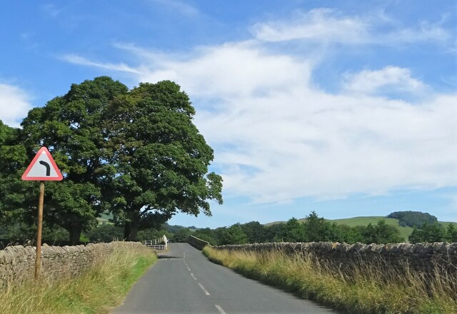
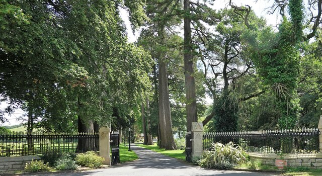
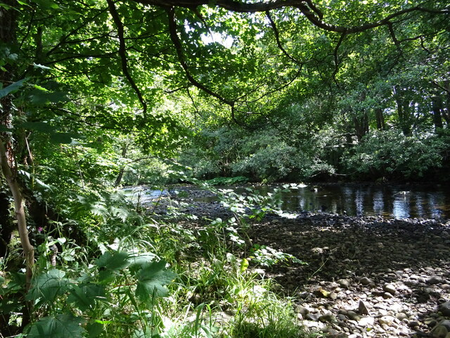
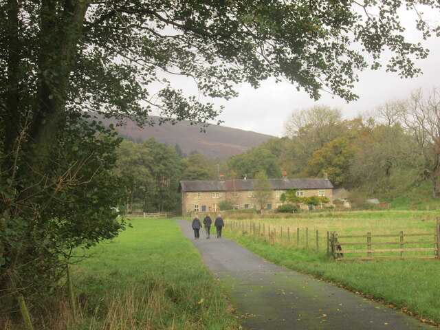
Alison's Wood is a serene and picturesque forest located in the heart of Yorkshire, England. Spanning over a vast area of land, this enchanting woodland stands as a testament to the natural beauty that Yorkshire has to offer. The dense canopy of tall, majestic trees creates a peaceful and calming atmosphere, making it a perfect escape from the hustle and bustle of everyday life.
The wood is named after Alison, a renowned botanist who dedicated her life to the study and conservation of the local flora and fauna. Her passion and expertise can be seen in the careful preservation of the wood, which boasts a diverse range of plant and animal species. From towering oak and beech trees to delicate wildflowers that carpet the forest floor, Alison's Wood is a haven for nature enthusiasts and wildlife lovers alike.
Traversing the wood, visitors can explore a network of well-maintained walking trails that offer stunning views of the surrounding countryside. The paths wind through peaceful glades, babbling brooks, and hidden ponds, providing a chance to immerse oneself in the tranquility of nature. Birdsong fills the air, and lucky visitors may even catch a glimpse of elusive woodland creatures such as deer and foxes.
Alison's Wood is not only a place of natural beauty but also serves as an important ecological hub. Conservation efforts are in place to protect and sustain the delicate ecosystem, ensuring that future generations can continue to enjoy its splendor. Whether it's for a leisurely stroll, a family picnic, or a chance to connect with nature, Alison's Wood offers an unforgettable experience for all who venture into its leafy embrace.
If you have any feedback on the listing, please let us know in the comments section below.
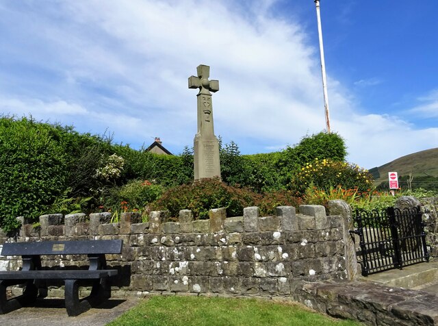
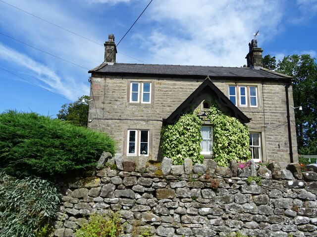
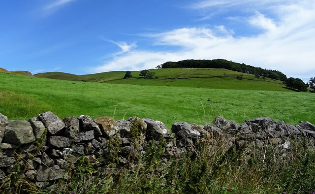
Alison's Wood Images
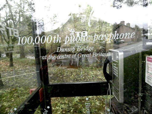
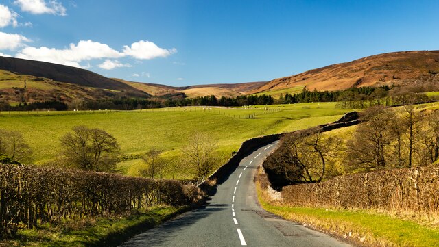
Images are sourced within 2km of 53.939996/-2.5103723 or Grid Reference SD6649. Thanks to Geograph Open Source API. All images are credited.
Alison's Wood is located at Grid Ref: SD6649 (Lat: 53.939996, Lng: -2.5103723)
Division: West Riding
Administrative County: Lancashire
District: Ribble Valley
Police Authority: Lancashire
What 3 Words
///ally.bucket.burglars. Near Waddington, Lancashire
Nearby Locations
Related Wikis

Langden Brook
Langden Brook is a watercourse in the Trough of Bowland, Lancashire, England. A tributary of the River Hodder, its source is near the summit of Hawthornthwaite...

River Dunsop
The River Dunsop is a river in the Forest of Bowland in Northern England. It flows into the River Hodder at Dunsop Bridge.It begins at the confluence of...

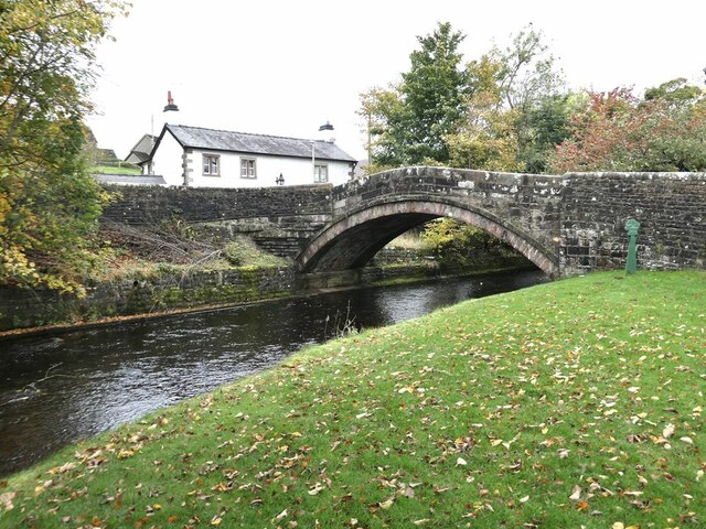
Dunsop Bridge (structure)
Dunsop Bridge is a bridge in the English village of the same name. The structure, which dates to the early 19th century, crosses the River Dunsop. A Grade...

Bowland Forest High
Bowland Forest High is a civil parish in the Ribble Valley district of Lancashire, England, covering some 20,000 acres (80 km2) of the Forest of Bowland...

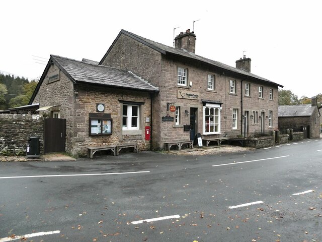
Dunsop Bridge
Dunsop Bridge is a village in the civil parish of Bowland Forest High, in the borough of Ribble Valley, Lancashire, England, 9 miles (14 km) north-west...

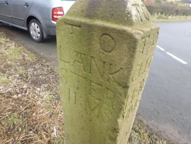
Bowland Forest High milestone
The Bowland Forest High milestone is an historic milestone marker in the English parish of Bowland Forest High, in the Trough of Bowland, Lancashire. A...

Whitewell Hotel
Whitewell Hotel is an historic building in the English parish of Bowland Forest Low, Lancashire. It is Grade II listed, built in 1836, and is in sandstone...

Sykes Smelt Mill
Sykes Smelt Mill was a mediaeval mill located between Sykes and Hareden in Bowland Forest High, Lancashire, England. It stood on the banks of Langden Brook...
Nearby Amenities
Located within 500m of 53.939996,-2.5103723Have you been to Alison's Wood?
Leave your review of Alison's Wood below (or comments, questions and feedback).