Robin Clough
Valley in Yorkshire Ribble Valley
England
Robin Clough
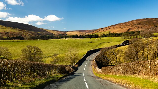
Robin Clough is a picturesque valley located in the county of Yorkshire, England. Nestled within the stunning Yorkshire Dales National Park, this area is renowned for its natural beauty and idyllic landscapes. The valley is situated in the northwestern part of the park, near the village of Kettlewell.
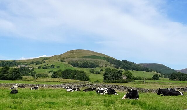
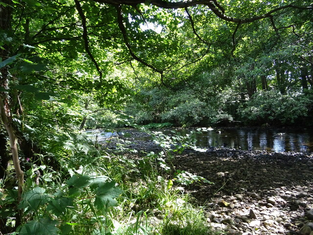
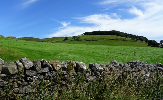
The main feature of Robin Clough is its meandering stream, which flows through the valley, creating a serene and tranquil atmosphere. Lined with ancient trees and lush vegetation, the valley is a haven for wildlife, attracting a variety of bird species and small mammals. It is a popular spot for nature enthusiasts and photographers who come to capture the breathtaking scenery.
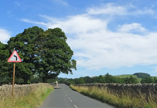
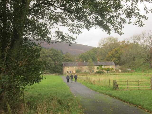
The valley is also known for its walking trails, offering visitors the opportunity to explore the surrounding countryside. The paths wind through green pastures and fields, leading to stunning viewpoints where one can admire the panoramic vistas of the Dales. The valley is particularly beautiful during the spring and summer months when the wildflowers are in full bloom, creating a colorful tapestry across the landscape.
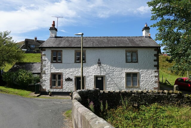
In addition to its natural wonders, Robin Clough is also home to several historic landmarks. The nearby village of Kettlewell boasts a charming 12th-century church and traditional stone cottages, providing a glimpse into the area's rich heritage.
Overall, Robin Clough is a hidden gem within the Yorkshire Dales National Park, offering visitors a peaceful retreat in the heart of nature. With its stunning landscapes, abundant wildlife, and historical charm, it is a must-visit destination for those seeking a true Yorkshire experience.
If you have any feedback on the listing, please let us know in the comments section below.
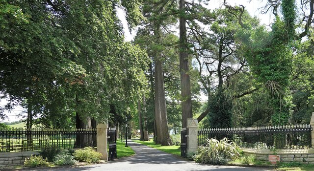
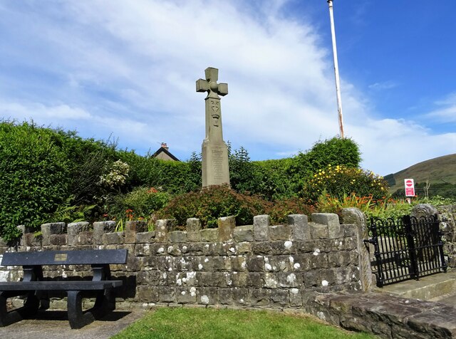
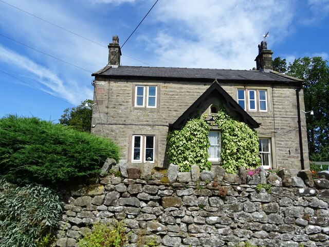
Robin Clough Images
Images are sourced within 2km of 53.938842/-2.5111351 or Grid Reference SD6649. Thanks to Geograph Open Source API. All images are credited.
Robin Clough is located at Grid Ref: SD6649 (Lat: 53.938842, Lng: -2.5111351)
Division: West Riding
Administrative County: Lancashire
District: Ribble Valley
Police Authority: Lancashire
What 3 Words
///clustered.chapters.redeeming. Near Waddington, Lancashire
Nearby Locations
Related Wikis

Langden Brook
Langden Brook is a watercourse in the Trough of Bowland, Lancashire, England. A tributary of the River Hodder, its source is near the summit of Hawthornthwaite...

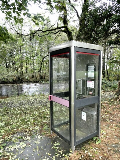
River Dunsop
The River Dunsop is a river in the Forest of Bowland in Northern England. It flows into the River Hodder at Dunsop Bridge.It begins at the confluence of...

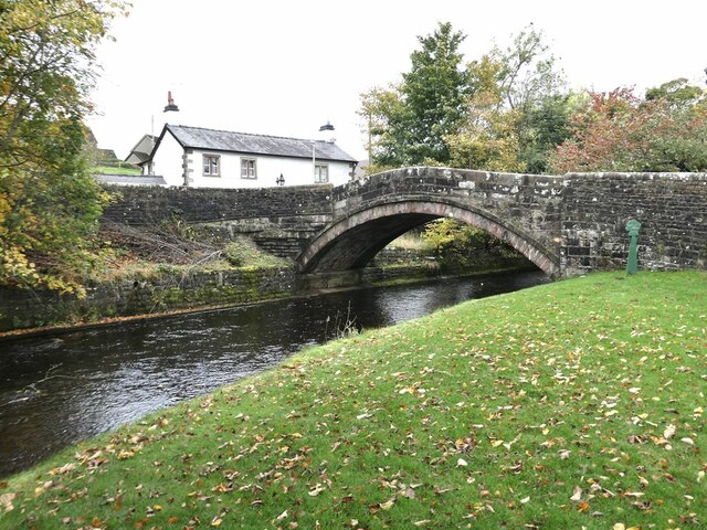
Dunsop Bridge (structure)
Dunsop Bridge is a bridge in the English village of the same name. The structure, which dates to the early 19th century, crosses the River Dunsop. A Grade...

Bowland Forest High
Bowland Forest High is a civil parish in the Ribble Valley district of Lancashire, England, covering some 20,000 acres (80 km2) of the Forest of Bowland...

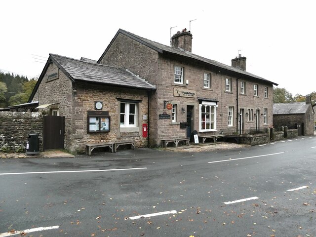
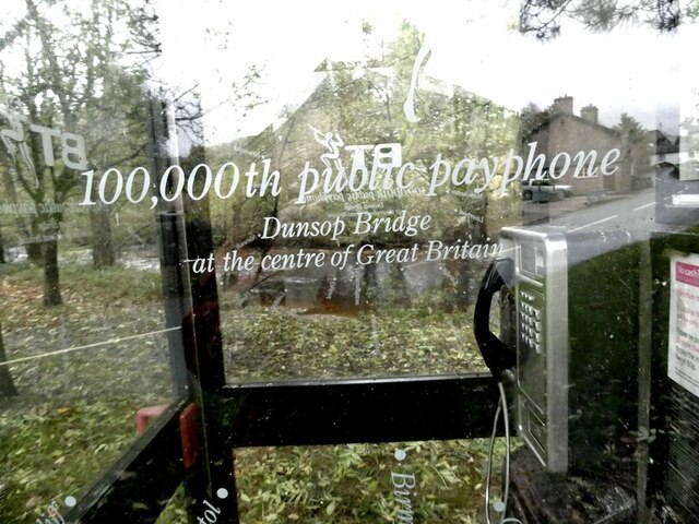
Dunsop Bridge
Dunsop Bridge is a village in the civil parish of Bowland Forest High, in the borough of Ribble Valley, Lancashire, England, 9 miles (14 km) north-west...

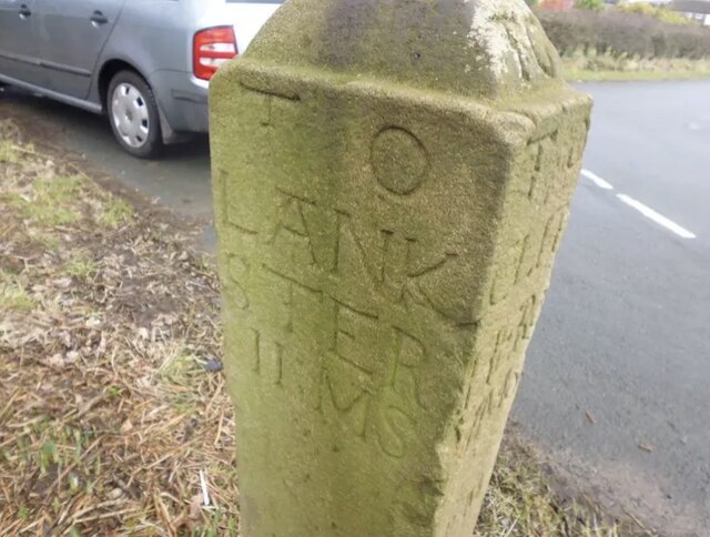
Bowland Forest High milestone
The Bowland Forest High milestone is an historic milestone marker in the English parish of Bowland Forest High, in the Trough of Bowland, Lancashire. A...

Whitewell Hotel
Whitewell Hotel is an historic building in the English parish of Bowland Forest Low, Lancashire. It is Grade II listed, built in 1836, and is in sandstone...

Whitewell
Whitewell is a village within the civil parish of Bowland Forest Low and Ribble Valley borough of Lancashire, England. It is in the Forest of Bowland Area...
Nearby Amenities
Located within 500m of 53.938842,-2.5111351Have you been to Robin Clough?
Leave your review of Robin Clough below (or comments, questions and feedback).