Laura's Wood
Wood, Forest in Yorkshire Ribble Valley
England
Laura's Wood
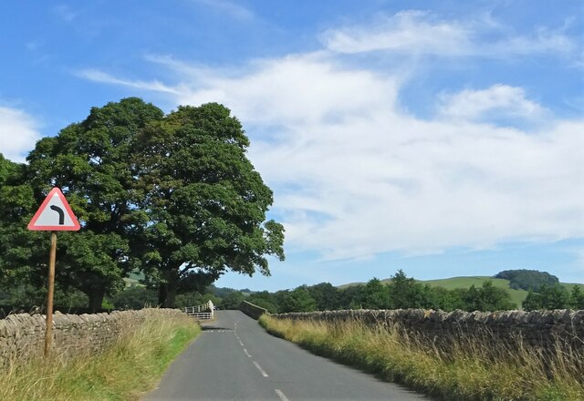
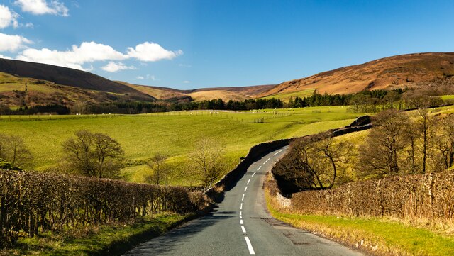
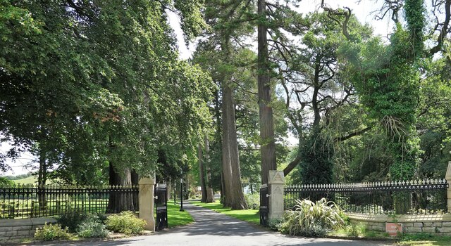
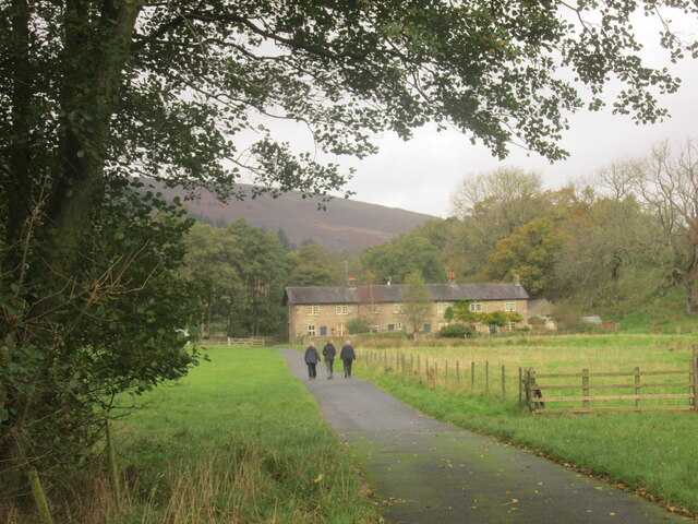
Laura's Wood is a picturesque woodland located in the county of Yorkshire, England. Spanning across a vast area, this enchanting forest is a haven for nature lovers and outdoor enthusiasts alike. With its rich biodiversity and stunning landscapes, Laura's Wood offers a tranquil escape from the hustle and bustle of city life.
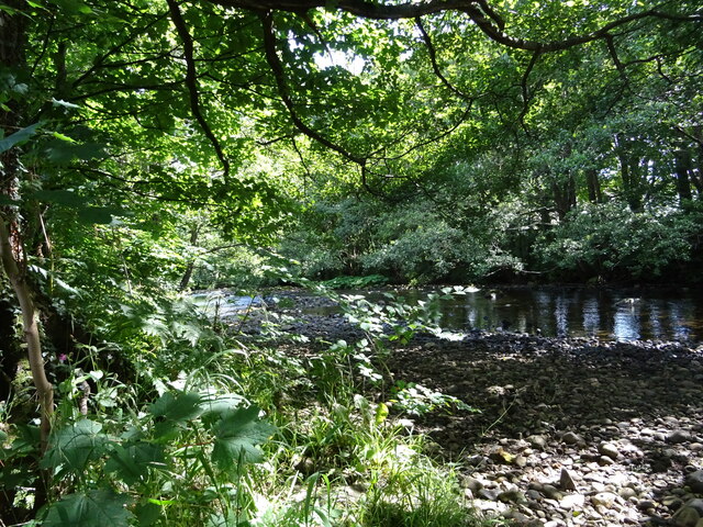
The wood is characterized by its dense canopy of trees, predominantly composed of oak, beech, and ash. The towering trees create a serene atmosphere and provide ample shade, making it an ideal spot for leisurely walks or picnics with family and friends. The forest floor is carpeted with a variety of wildflowers and ferns, adding to the charm and beauty of the woodland.
Numerous walking trails wind their way through Laura's Wood, allowing visitors to explore its hidden treasures. As one ventures deeper into the forest, they may come across a babbling brook that meanders through the trees, adding a soothing soundtrack to the natural symphony. The wood is also home to a diverse range of wildlife, including deer, squirrels, and a plethora of bird species, providing ample opportunities for wildlife spotting and birdwatching.
Laura's Wood is well-maintained, with designated picnic areas and benches scattered throughout the wood, ensuring visitors can relax and enjoy the serene surroundings. The forest is also equipped with informative signposts, educating visitors about the various flora and fauna that call the wood their home.
Overall, Laura's Wood is a hidden gem in Yorkshire, offering a tranquil retreat for those seeking solace amidst nature's embrace. With its stunning landscapes, diverse wildlife, and peaceful ambiance, it is a must-visit destination for anyone exploring the beauty of Yorkshire.
If you have any feedback on the listing, please let us know in the comments section below.
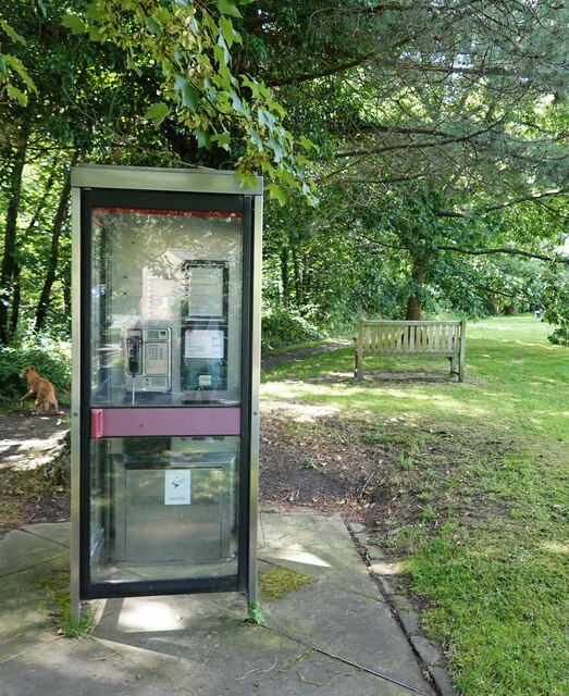
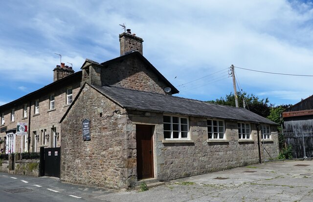
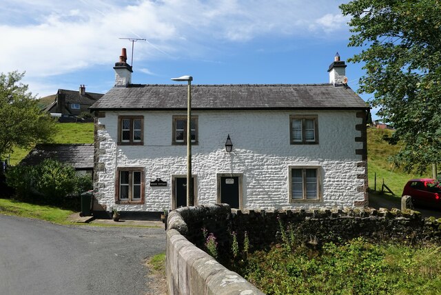
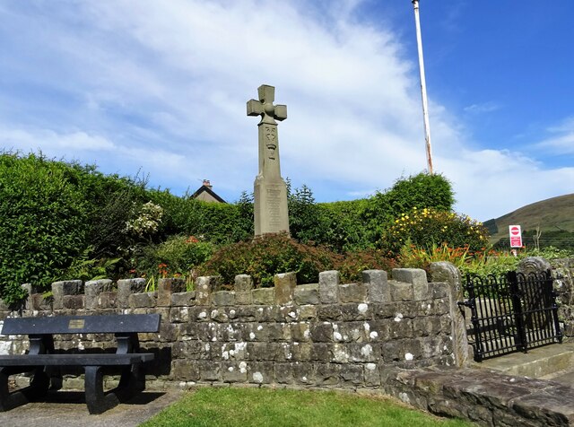
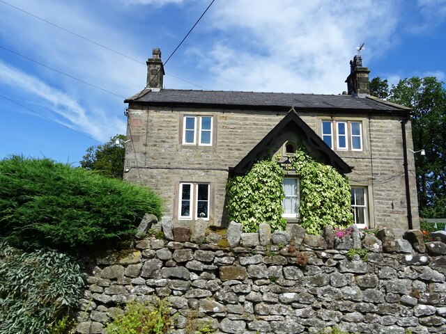
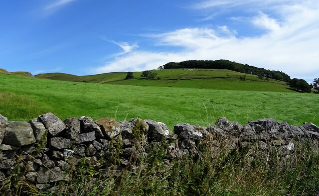
Laura's Wood Images
Images are sourced within 2km of 53.942557/-2.5083927 or Grid Reference SD6649. Thanks to Geograph Open Source API. All images are credited.
Laura's Wood is located at Grid Ref: SD6649 (Lat: 53.942557, Lng: -2.5083927)
Division: West Riding
Administrative County: Lancashire
District: Ribble Valley
Police Authority: Lancashire
What 3 Words
///relations.digits.bumping. Near Waddington, Lancashire
Nearby Locations
Related Wikis

River Dunsop
The River Dunsop is a river in the Forest of Bowland in Northern England. It flows into the River Hodder at Dunsop Bridge.It begins at the confluence of...

Langden Brook
Langden Brook is a watercourse in the Trough of Bowland, Lancashire, England. A tributary of the River Hodder, its source is near the summit of Hawthornthwaite...

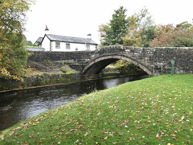
Dunsop Bridge (structure)
Dunsop Bridge is a bridge in the English village of the same name. The structure, which dates to the early 19th century, crosses the River Dunsop. A Grade...

Bowland Forest High
Bowland Forest High is a civil parish in the Ribble Valley district of Lancashire, England, covering some 20,000 acres (80 km2) of the Forest of Bowland...

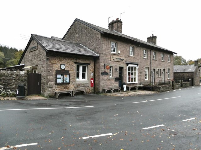
Dunsop Bridge
Dunsop Bridge is a village in the civil parish of Bowland Forest High, in the borough of Ribble Valley, Lancashire, England, 9 miles (14 km) north-west...

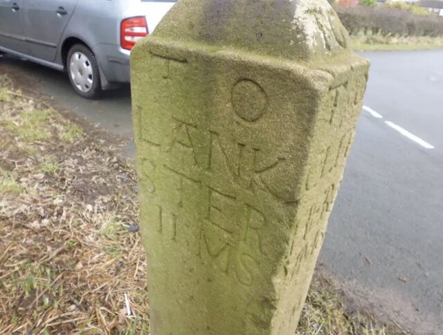
Bowland Forest High milestone
The Bowland Forest High milestone is an historic milestone marker in the English parish of Bowland Forest High, in the Trough of Bowland, Lancashire. A...

Whitewell Hotel
Whitewell Hotel is an historic building in the English parish of Bowland Forest Low, Lancashire. It is Grade II listed, built in 1836, and is in sandstone...

Sykes Smelt Mill
Sykes Smelt Mill was a mediaeval mill located between Sykes and Hareden in Bowland Forest High, Lancashire, England. It stood on the banks of Langden Brook...
Nearby Amenities
Located within 500m of 53.942557,-2.5083927Have you been to Laura's Wood?
Leave your review of Laura's Wood below (or comments, questions and feedback).