Mossthwaite Fell

Downs, Moorland in Yorkshire Ribble Valley

England

Mossthwaite Fell

Approaching Langden Bridge Carrying the road over Langden Brook outside Dunsop Bridge.
Approaching Langden Bridge Credit: Phil and Juliette Platt

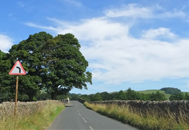
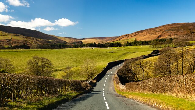
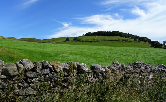
Mossthwaite Fell is a picturesque area located in the county of Yorkshire, England. Known for its stunning natural beauty, it encompasses a diverse landscape of downs and moorland. The region is characterized by rolling hills, expansive plains, and expansive heather-covered moors, creating a captivating and serene environment.

Situated in the heart of the Yorkshire Dales, Mossthwaite Fell offers breathtaking panoramic views of the surrounding countryside. Visitors can expect to be greeted by a patchwork of vibrant green fields, interspersed with dry stone walls that add to the charm of the region.

The area is home to a rich variety of flora and fauna, making it a haven for nature enthusiasts. The moorland is adorned with vibrant purple heather during the summer months, creating a stunning contrast against the green landscape. Rare bird species, such as the curlew and red grouse, can also be spotted in the area.

For those seeking outdoor activities, Mossthwaite Fell offers excellent opportunities for hiking and walking. There are numerous trails and footpaths that meander through the hills, providing a chance to explore the stunning scenery up close. The challenging terrain is also popular among cyclists and horse riders, who can enjoy the exhilarating experience of traversing the undulating landscape.

In summary, Mossthwaite Fell in Yorkshire is a captivating region renowned for its downs and moorland. With its breathtaking views, diverse wildlife, and ample opportunities for outdoor activities, it is a destination that appeals to both nature lovers and adventure seekers.

If you have any feedback on the listing, please let us know in the comments section below.

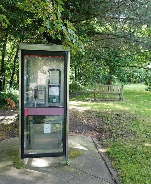
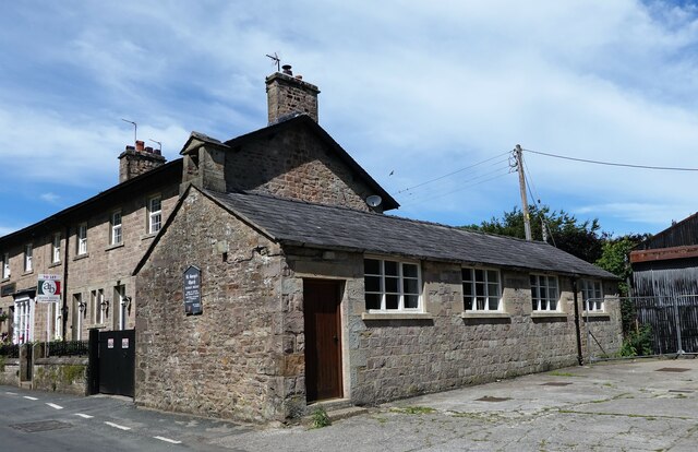
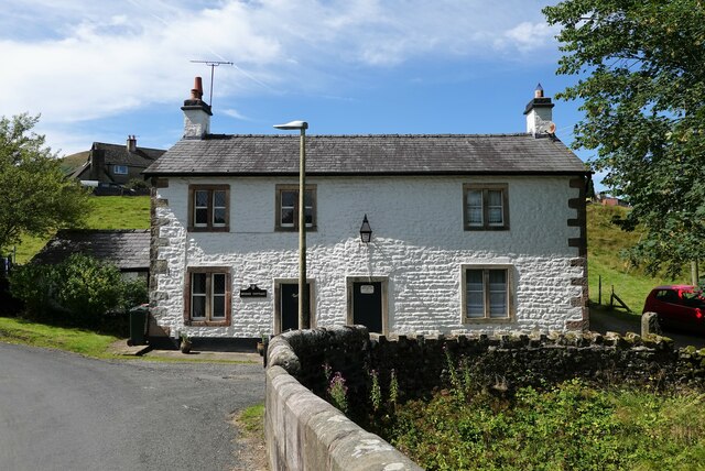
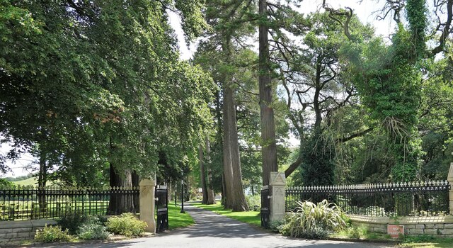
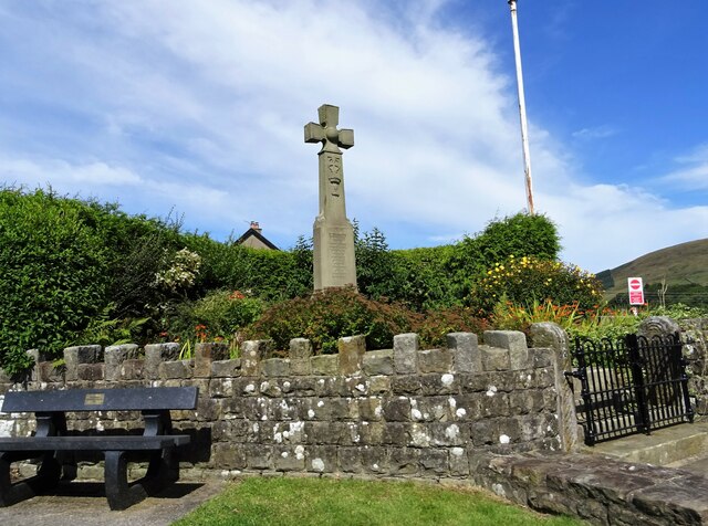
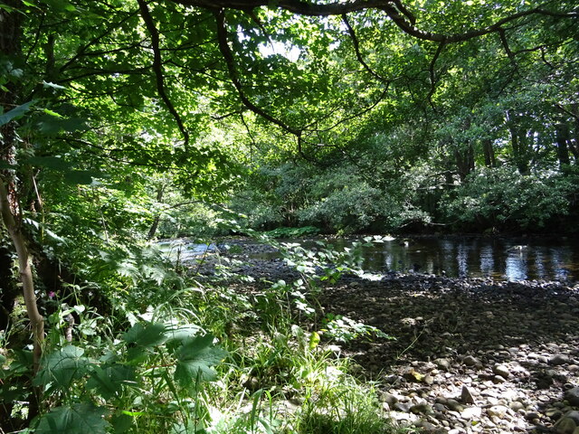
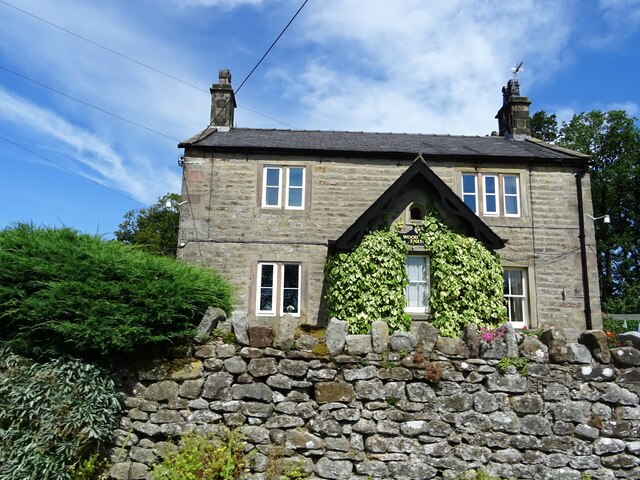
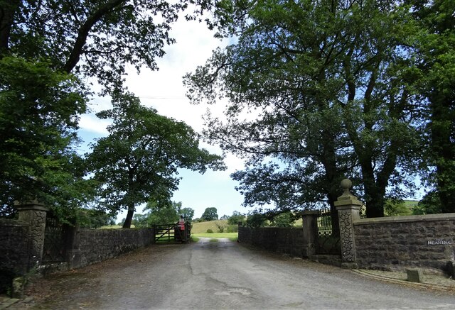
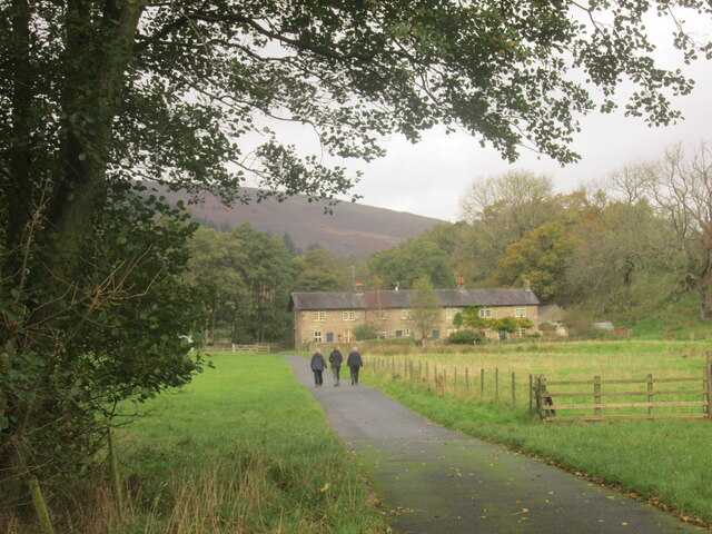
Mossthwaite Fell Images

Images are sourced within 2km of 53.94126/-2.5068687 or Grid Reference SD6649. Thanks to Geograph Open Source API. All images are credited.

Approaching Langden Bridge Carrying the road over Langden Brook outside Dunsop Bridge.
Approaching Langden Bridge
Carrying the road over Langden Brook outside Dunsop Bridge.
Old Milestone by Dunsop Bridge By the UC road, in Bowland Forest High parish (Ribble Valley District), formerly Yorkshire West Riding but now Lancashire. Dunsop Bridge, junction with road to Slaidburn.

Grade II listed. List Entry Number: 1362243
<span class="nowrap"><a title="https://historicengland.org.uk/listing/the-list/list-entry/1362243" rel="nofollow ugc noopener" href="https://historicengland.org.uk/listing/the-list/list-entry/1362243">Link</a><img style="margin-left:2px;" alt="External link" title="External link - shift click to open in new window" src="https://s1.geograph.org.uk/img/external.png" width="10" height="10"/></span>

Surveyed

Milestone Society National ID: YW_XBOWa
Old Milestone by Dunsop Bridge
By the UC road, in Bowland Forest High parish (Ribble Valley District), formerly Yorkshire West Riding but now Lancashire. Dunsop Bridge, junction with road to Slaidburn. Grade II listed. List Entry Number: 1362243 LinkExternal link Surveyed Milestone Society National ID: YW_XBOWa
Dunsop Bridge Over the river and in the village of the same name.
Dunsop Bridge
Over the river and in the village of the same name.
Post Office and Puddleduck Tearoom in Dunsop Bridge
Ribble Valley E-bikes Sale and hire of electric bikes in Dunsop Bridge. Strictly speaking, should be the Hodder Valley not the Ribble Valley.
Ribble Valley E-bikes
Sale and hire of electric bikes in Dunsop Bridge. Strictly speaking, should be the Hodder Valley not the Ribble Valley.
A famous telephone kiosk According to the information engraved on the door and inside the kiosk, this was the 100,000th BT kiosk to be erected and stands at the geographical centre of Great Britain, although both factoids are a bit questionable. If there ever were 100,000 kiosks in Britain, the number is now in freefall. And on their own admission, the centre of Britain (as defined by the Ordnance Survey at the centre of gravity) is actually at <a href="https://www.geograph.org.uk/gridref/SD637565">SD637565</a>, way up in the hills. 

Other people have their own definition of the centre of Britain. Principal amongst these is David Taylor proprietor of the Centre of Britain Hotel in Haltwhistle. See <a href="https://www.geograph.org.uk/photo/12977">NY7064 : Centre of Britain Hotel</a> and <a href="https://www.geograph.org.uk/photo/1458607">NY7064 : Haltwhistle claims to be at the centre of Britain</a>. See also <span class="nowrap"><a title="http://news.bbc.co.uk/1/hi/uk/2271914.stm" rel="nofollow ugc noopener" href="http://news.bbc.co.uk/1/hi/uk/2271914.stm">Link</a><img style="margin-left:2px;" alt="External link" title="External link - shift click to open in new window" src="https://s1.geograph.org.uk/img/external.png" width="10" height="10"/></span> for the full story of this bitterly contested subject.
A famous telephone kiosk
According to the information engraved on the door and inside the kiosk, this was the 100,000th BT kiosk to be erected and stands at the geographical centre of Great Britain, although both factoids are a bit questionable. If there ever were 100,000 kiosks in Britain, the number is now in freefall. And on their own admission, the centre of Britain (as defined by the Ordnance Survey at the centre of gravity) is actually at SD637565, way up in the hills. Other people have their own definition of the centre of Britain. Principal amongst these is David Taylor proprietor of the Centre of Britain Hotel in Haltwhistle. See NY7064 : Centre of Britain Hotel and NY7064 : Haltwhistle claims to be at the centre of Britain. See also LinkExternal link for the full story of this bitterly contested subject.
Door of a famous telephone kiosk According to the information engraved on the door and inside the kiosk, this was the 100,000th BT kiosk to be erected and stands at the geographical centre of Great Britain, although both factoids are a bit questionable. If there ever were 100,000 kiosks in Britain, the number is now in freefall. And on their own admission, the centre of Britain (as defined by the Ordnance Survey at the centre of gravity) is actually at <a href="https://www.geograph.org.uk/gridref/SD637565">SD637565</a>, way up in the hills. 

Other people have their own definition of the centre of Britain. Principal amongst these is David Taylor proprietor of the Centre of Britain Hotel in Haltwhistle. See <a href="https://www.geograph.org.uk/photo/12977">NY7064 : Centre of Britain Hotel</a> and <a href="https://www.geograph.org.uk/photo/1458607">NY7064 : Haltwhistle claims to be at the centre of Britain</a>. See also <span class="nowrap"><a title="http://news.bbc.co.uk/1/hi/uk/2271914.stm" rel="nofollow ugc noopener" href="http://news.bbc.co.uk/1/hi/uk/2271914.stm">Link</a><img style="margin-left:2px;" alt="External link" title="External link - shift click to open in new window" src="https://s1.geograph.org.uk/img/external.png" width="10" height="10"/></span> for the full story of this bitterly contested subject.
Door of a famous telephone kiosk
According to the information engraved on the door and inside the kiosk, this was the 100,000th BT kiosk to be erected and stands at the geographical centre of Great Britain, although both factoids are a bit questionable. If there ever were 100,000 kiosks in Britain, the number is now in freefall. And on their own admission, the centre of Britain (as defined by the Ordnance Survey at the centre of gravity) is actually at SD637565, way up in the hills. Other people have their own definition of the centre of Britain. Principal amongst these is David Taylor proprietor of the Centre of Britain Hotel in Haltwhistle. See NY7064 : Centre of Britain Hotel and NY7064 : Haltwhistle claims to be at the centre of Britain. See also LinkExternal link for the full story of this bitterly contested subject.
Rough Sike Road crossing Rough Sike.
Rough Sike
Road crossing Rough Sike.
Public telephone box On the green at Dunsop Bridge. Reputedly, this is the 100,000th box installed and (also reputedly) is sited at the geographical centre of Great Britain.
Public telephone box
On the green at Dunsop Bridge. Reputedly, this is the 100,000th box installed and (also reputedly) is sited at the geographical centre of Great Britain.
St. George's, Dunsop Bridge Originally a cow shed, the building later became a chapel, and now seems to be used as a gymnasium.
St. George's, Dunsop Bridge
Originally a cow shed, the building later became a chapel, and now seems to be used as a gymnasium.
Dunsop Bridge Bridge Cottage and the Working Men's Club.
Dunsop Bridge
Bridge Cottage and the Working Men's Club.
Gateway to Thorneyholme Hall On the eastern edge of Dunsop Bridge village.
Gateway to Thorneyholme Hall
On the eastern edge of Dunsop Bridge village.
War memorial at Dunsop Bridge Remembering the local men who died in the Great War.
War memorial at Dunsop Bridge
Remembering the local men who died in the Great War.
River Dunsop At Dunsop Bridge.
River Dunsop
At Dunsop Bridge.
Wood End Farmhouse Near Dunsop Bridge.
Wood End Farmhouse
Near Dunsop Bridge.
Sugar Loaf Off the road from Dunsop Bridge to Newton.
Sugar Loaf
Off the road from Dunsop Bridge to Newton.
Gateway to The Heaning On the road from Dunsop Bridge to Newton.
Gateway to The Heaning
On the road from Dunsop Bridge to Newton.
Row of terraced cottages close to the River Dunsop Footpath from Dunsop Bridge.
Row of terraced cottages close to the River Dunsop
Footpath from Dunsop Bridge.
Show me another place!

Mossthwaite Fell is located at Grid Ref: SD6649 (Lat: 53.94126, Lng: -2.5068687)

Division: West Riding

Administrative County: Lancashire

District: Ribble Valley

Police Authority: Lancashire

What 3 Words

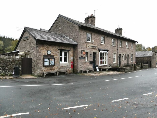
///scramble.mulls.cupboards. Near Waddington, Lancashire

Related Wikis

River Dunsop

The River Dunsop is a river in the Forest of Bowland in Northern England. It flows into the River Hodder at Dunsop Bridge.It begins at the confluence of...

Langden Brook

Langden Brook is a watercourse in the Trough of Bowland, Lancashire, England. A tributary of the River Hodder, its source is near the summit of Hawthornthwaite...

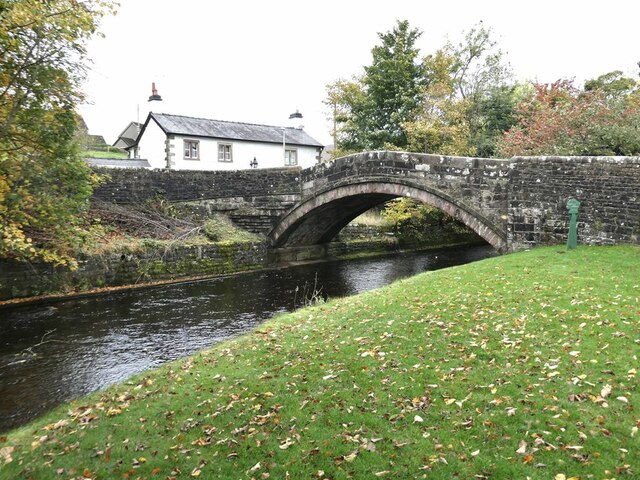
Dunsop Bridge (structure)

Dunsop Bridge is a bridge in the English village of the same name. The structure, which dates to the early 19th century, crosses the River Dunsop. A Grade...

Bowland Forest High

Bowland Forest High is a civil parish in the Ribble Valley district of Lancashire, England, covering some 20,000 acres (80 km2) of the Forest of Bowland...

Nearby Amenities

Located within 500m of 53.94126,-2.5068687
Hodder Bank Fell
Ele: 244
Natural: peak
Source: npe
Source Ele: height in feet (800) from NPE, converted into metres
Lat/Long: 53.9396671/-2.5048006
Lower Thorneyholme Farm
Place: neighbourhood
Lat/Long: 53.9423866/-2.5122925
Ford: yes
Lat/Long: 53.9433793/-2.5107927
The data included in this document is from www.openstreetmap.org. The data is made available under ODbL.

Have you been to Mossthwaite Fell?

Leave your review of Mossthwaite Fell below (or comments, questions and feedback).