Woodland View

Wood, Forest in Gloucestershire Forest of Dean

England

Woodland View

Cycleway passing through Crabtreehill Plantation Cycleway on a former railway trackbed passing through Crabtreehill Plantation.
Cycleway passing through Crabtreehill Plantation Credit: Philip Halling

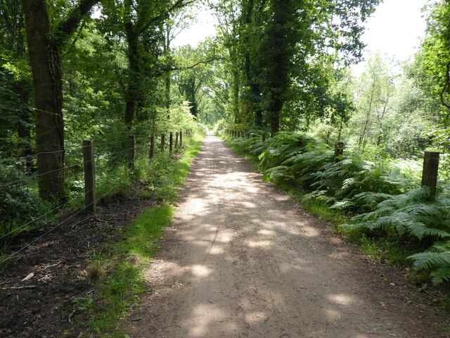
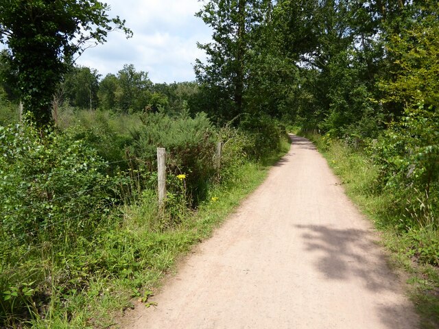
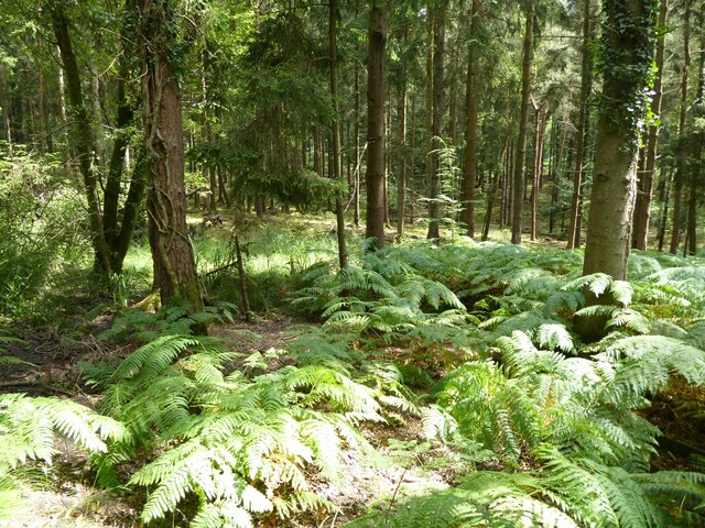
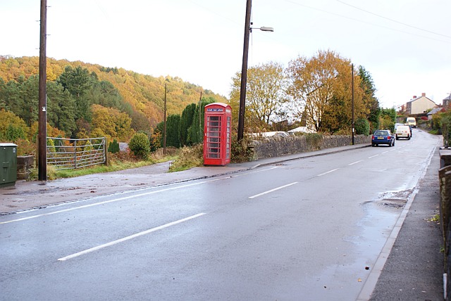
Woodland View is a picturesque forest located in Gloucestershire, England. Spanning over a vast area, it encompasses a variety of woodland habitats, making it a haven for nature enthusiasts and outdoor adventurers alike. The forest is renowned for its rich biodiversity, with an abundance of flora and fauna.

The woodland is predominantly composed of deciduous trees, such as oak, beech, and birch, creating a stunning and ever-changing landscape throughout the year. The dense canopy provides a tranquil and sheltered environment, offering respite from the hustle and bustle of everyday life.

Woodland View is home to an impressive array of wildlife. Visitors may spot elusive deer, squirrels darting between trees, and a plethora of bird species, including woodpeckers and owls. The forest floor is adorned with a vibrant carpet of wildflowers, attracting butterflies and other small creatures.

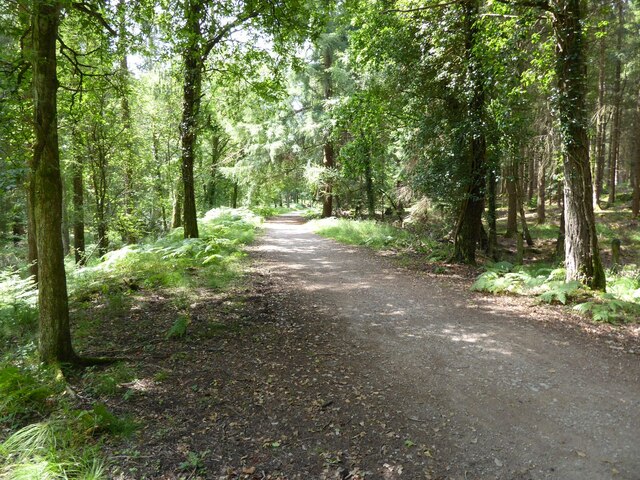
Numerous walking trails wind through the woodland, catering to all levels of fitness and experience. These well-maintained paths allow visitors to explore the forest's nooks and crannies, revealing hidden gems along the way. Whether it's a leisurely stroll or a challenging hike, there is something for everyone at Woodland View.

The forest also offers various recreational activities, such as camping, picnicking, and wildlife spotting. With designated camping areas and facilities, visitors can fully immerse themselves in the natural surroundings and spend the night under the starry sky.

Woodland View is not only a stunning natural retreat but also plays a vital role in conserving and protecting the local ecosystem. The forest serves as an important habitat for endangered species and contributes to the overall health and balance of the surrounding environment.

If you have any feedback on the listing, please let us know in the comments section below.

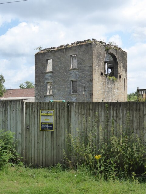
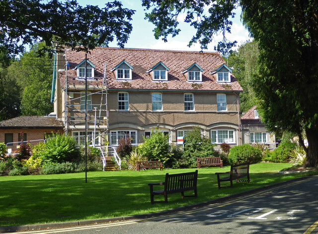
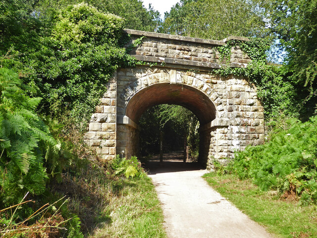
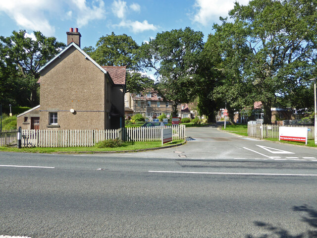
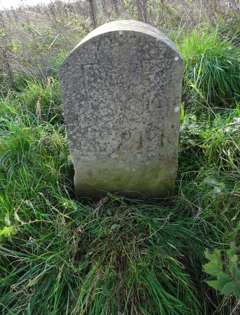
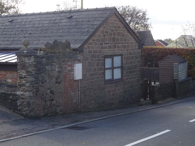
Woodland View Images

Images are sourced within 2km of 51.801234/-2.5038104 or Grid Reference SO6511. Thanks to Geograph Open Source API. All images are credited.

Cycleway passing through Crabtreehill Plantation Cycleway on a former railway trackbed passing through Crabtreehill Plantation.
Cycleway passing through Crabtreehill Plantation
Cycleway on a former railway trackbed passing through Crabtreehill Plantation.
Cycleway near Dilke Hospital Cycleway and former railway trackbed near Dilke Hospital in the Forest of Dean.
Cycleway near Dilke Hospital
Cycleway and former railway trackbed near Dilke Hospital in the Forest of Dean.
Dilke Hospital Dilke Memorial Hospital opened in 1921 and is named after Sir Charles Dilke, 2nd Baronet who was a Liberal MP for the Forest of Dean and died in 1911.
Dilke Hospital
Dilke Memorial Hospital opened in 1921 and is named after Sir Charles Dilke, 2nd Baronet who was a Liberal MP for the Forest of Dean and died in 1911.
Former Lightmoor Colliery Engine House The derelict engine house of the former Lightmoor Colliery viewed from the cycleway which passes by following a former railway.
Former Lightmoor Colliery Engine House
The derelict engine house of the former Lightmoor Colliery viewed from the cycleway which passes by following a former railway.
Forestry at Great Palescot Ferns and trees at Great Palescot in the Forest of Dean.
Forestry at Great Palescot
Ferns and trees at Great Palescot in the Forest of Dean.
Cycleway near Great Saintlow Cycleway and former railway trackbed near Great Saintlow.
Cycleway near Great Saintlow
Cycleway and former railway trackbed near Great Saintlow.
Dilke Memorial Hospital near Cinderford
Entrance to Forest of Dean Crematorium
Dilke Bridge near Cinderford Carrying Speech House Road over a former railway line that is now a cycleway and foot path.
Dilke Bridge near Cinderford
Carrying Speech House Road over a former railway line that is now a cycleway and foot path.
Entrance to Dilke Memorial Hospital
Forest of Dean, Crematorium
Track, Great Kensley Inclosure
Grassy track, Forest of Dean near Cinderford
Covid Memorial, Forest of Dean Crematorium "This memorial has been placed to remember and recognise the lives and efforts of all affected by the Covid-19 pandemic."
Covid Memorial, Forest of Dean Crematorium
"This memorial has been placed to remember and recognise the lives and efforts of all affected by the Covid-19 pandemic."
Part of the Forest of Dean Crematorium Leaf blowing time at the end of October.
Part of the Forest of Dean Crematorium
Leaf blowing time at the end of October.
Boundary Stone, Cinderford Technically in the modern parish of Ruspidge and Soudley. Cinderford is the Northern side of the road.

Inscription: D.F / 2015 / Nᴼ. 214

Milestone Society National ID: GL_DFRUSU214em
Boundary Stone, Cinderford
Technically in the modern parish of Ruspidge and Soudley. Cinderford is the Northern side of the road. Inscription: D.F / 2015 / Nᴼ. 214 Milestone Society National ID: GL_DFRUSU214em
Old Tollhouse, 26 St White's Road In the modern parish of Ruspidge and Soudley. Within the boundaries of the "Forest of Dean", and still showing a "TP" on the 1873 map. This building served the Forest of Dean Turnpike Trust.

Milestone Society National ID: GL.CIN01
Old Tollhouse, 26 St White's Road
In the modern parish of Ruspidge and Soudley. Within the boundaries of the "Forest of Dean", and still showing a "TP" on the 1873 map. This building served the Forest of Dean Turnpike Trust. Milestone Society National ID: GL.CIN01
Show me another place!

Woodland View is located at Grid Ref: SO6511 (Lat: 51.801234, Lng: -2.5038104)

Administrative County: Gloucestershire

District: Forest of Dean

Police Authority: Gloucestershire

What 3 Words

///reboot.hardly.accented. Near Cinderford, Gloucestershire

Related Wikis

Staple Edge Halt railway station

Staple Edge Halt railway station is a disused railway station opened by the Great Western Railway (GWR) on the former Bullo Pill Railway, later known as...

Eastern United Colliery

Eastern United Colliery was a drift mine in the Forest of Dean, Gloucestershire, England served by the Great Western Railway's Forest of Dean Branch. The...

Ruspidge

Ruspidge is a village in the Forest of Dean district of west Gloucestershire, England. The civil parish includes Soudley It is located near the town of...

Buckshraft Mine & Bradley Hill Railway Tunnel

Buckshaft Mine & Bradley Hill Railway Tunnel (SO655121 and SO662104) is a 5.66-hectare (14.0-acre) biological Site of Special Scientific Interest in Gloucestershire...

Soudley Ponds

Lying close to the village of Soudley in the Forest of Dean, west Gloucestershire, Soudley Ponds (grid reference SO662112), also known as Sutton Ponds...

Soudley

Soudley, including Upper Soudley, is a village to the west of Cinderford, in the Forest of Dean, Gloucestershire, England. It joins with Ruspidge to form...

Upper Soudley Halt railway station

Upper Soudley Halt railway station is a disused railway station that was opened by the Great Western Railway (GWR) on the former Bullo Pill Railway, later...

Ruspidge Halt railway station

Ruspidge Halt railway station is a disused railway station opened by the Great Western Railway (GWR) on the former Bullo Pill Railway, later known as the...

Nearby Amenities

Located within 500m of 51.801234,-2.5038104
Ruspidge
Is In: Gloucestershire, England, UK
Place: village
Wikidata: Q7381084
Lat/Long: 51.8035643/-2.5056315
Bus Stop
Rising Sun
Naptan AtcoCode: 1600GL4065
Naptan Bearing: S
Naptan CommonName: Rising Sun
Naptan Indicator: Opp
Naptan NaptanCode: gloajdwg
Naptan Street: Ruspidge Rd
Naptan Verified: no
Source: naptan_import
Lat/Long: 51.8018778/-2.5091144
Bus Stop
Rising Sun
Naptan AtcoCode: 1600GL4066
Naptan Bearing: N
Naptan CommonName: Rising Sun
Naptan NaptanCode: gloajdwa
Naptan Street: Ruspidge Rd
Naptan Verified: no
Source: naptan_import
Lat/Long: 51.8018773/-2.5092159
Bar
The New Inn
Addr Housenumber: 170
Addr Postcode: GL14 3AR
Addr Street: Ruspidge Road
Description: Very much a "local" pub. There are other community activities that take place here - regular musical sessions and a group of ladies who meet once a month for a coffee morning.
Lat/Long: 51.8019903/-2.5089753
Staple Edge
Historic Railway: station
Railway: site
Source: NPE
Wikidata: Q16248136
Wikipedia: en:Staple Edge Halt railway station
Lat/Long: 51.800987/-2.5101971
Power: pole
Lat/Long: 51.8021161/-2.5106824
Power: pole
Lat/Long: 51.8008006/-2.5059289
Power: pole
Lat/Long: 51.7999862/-2.5059409
Power: pole
Lat/Long: 51.798709/-2.5059061
Power: pole
Lat/Long: 51.7975984/-2.5059329
Telephone
Booth: K6
Covered: booth
Phone: +44 1594 822280
Lat/Long: 51.8031568/-2.5086421
The data included in this document is from www.openstreetmap.org. The data is made available under ODbL.

Have you been to Woodland View?

Leave your review of Woodland View below (or comments, questions and feedback).