Hayward Plantation

Wood, Forest in Gloucestershire Forest of Dean

England

Hayward Plantation

St Anthony's Well Image of the historic well in woodland North-west of Flaxley.
St Anthony's Well Credit: Clint Mann

Hayward Plantation is a historic estate located in the county of Gloucestershire, England. Situated in the heart of the Wood area, it is renowned for its picturesque landscapes and serene surroundings. The plantation covers a vast expanse of land, predominantly covered in dense forests that have been carefully preserved over the years.

The estate dates back to the 18th century when it was established as a working plantation. Originally, it was primarily used for timber production, with the forests providing a steady supply of high-quality wood for various purposes. Today, Hayward Plantation stands as a testament to the region's rich history and serves as a popular destination for nature enthusiasts and history buffs alike.

The woodlands of Hayward Plantation are home to a diverse range of flora and fauna. The towering trees, including oak, beech, and ash, create a dense canopy that shelters numerous species of birds and small mammals. Visitors can explore the well-maintained trails that wind through the forest, offering a chance to witness the natural beauty and tranquility of the area.

In addition to its natural wonders, Hayward Plantation also features several historic buildings. The grand manor house, constructed in the Georgian style, stands as the centerpiece of the estate. Its elegant architecture and well-manicured gardens provide a glimpse into the opulent lifestyle of the past.

Overall, Hayward Plantation in Gloucestershire is a captivating blend of natural beauty and historical significance. Its sprawling forests, abundant wildlife, and charming architecture make it a cherished destination for those seeking a retreat into nature's embrace.

If you have any feedback on the listing, please let us know in the comments section below.

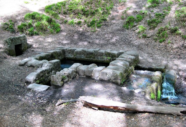
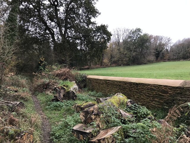
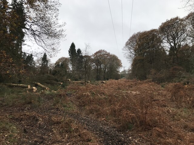
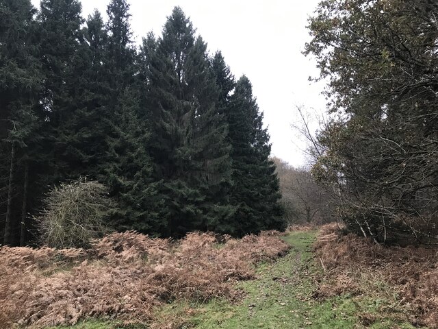
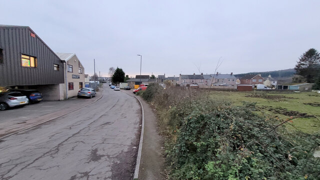
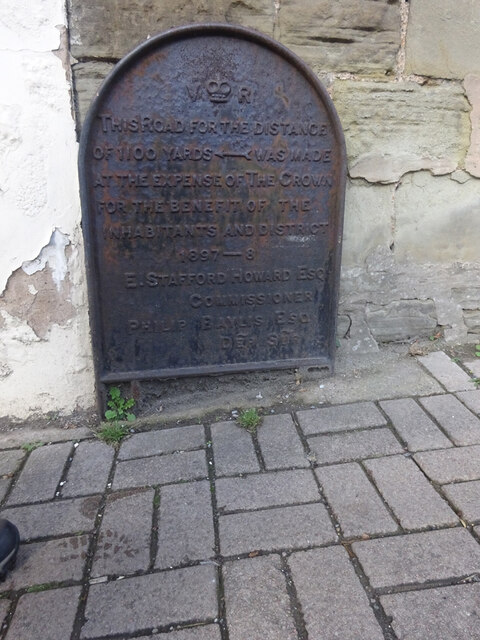
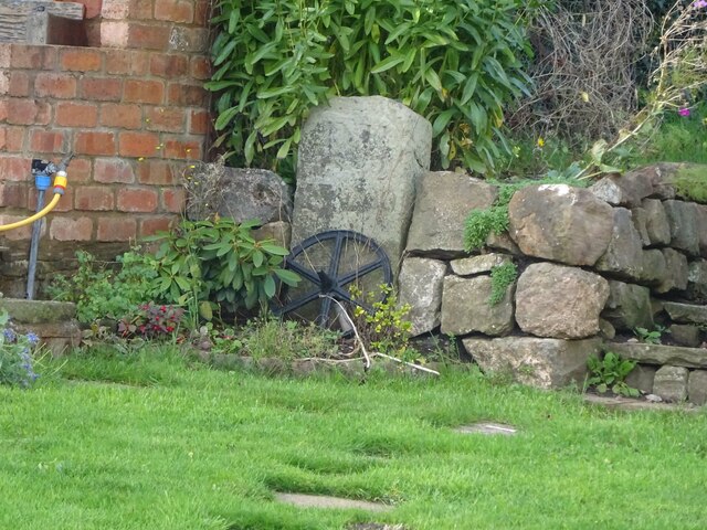
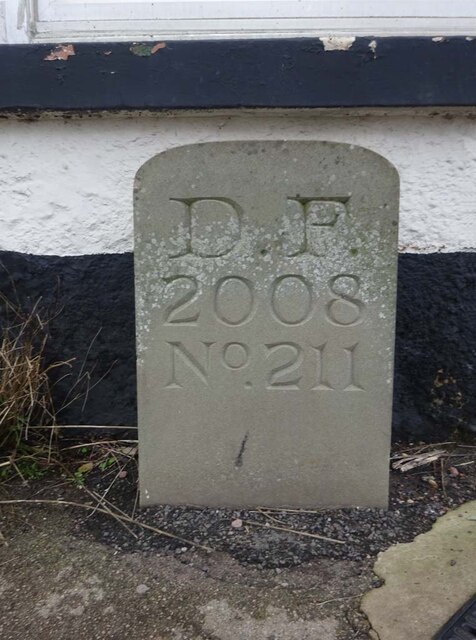
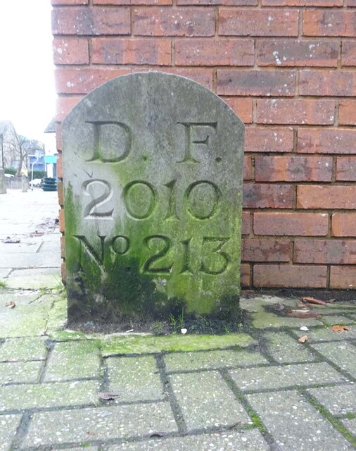
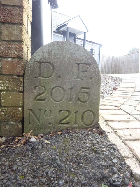
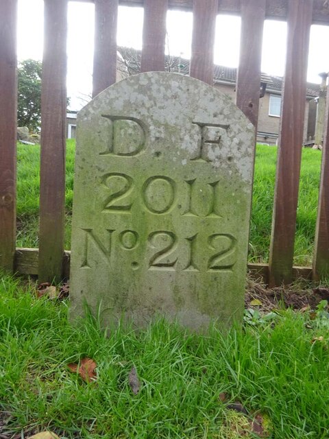
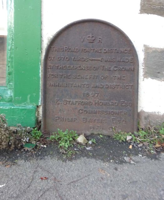
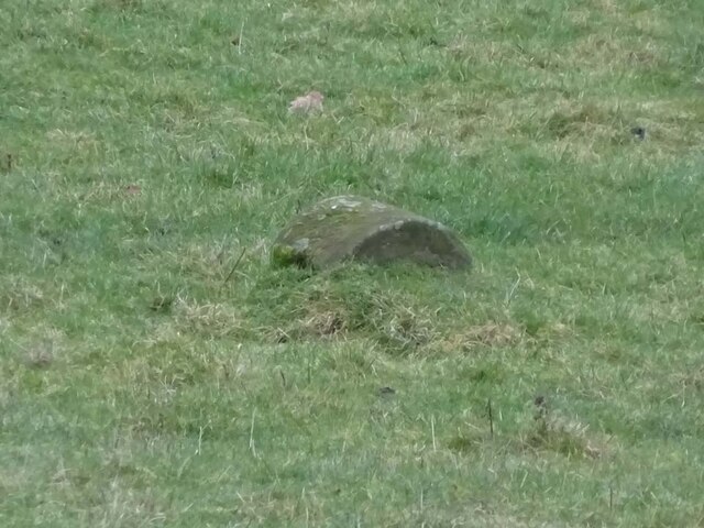
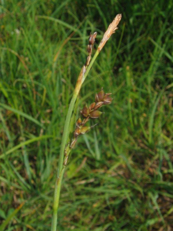
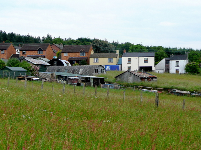
Hayward Plantation Images

Images are sourced within 2km of 51.838581/-2.5042419 or Grid Reference SO6515. Thanks to Geograph Open Source API. All images are credited.

St Anthony's Well Image of the historic well in woodland North-west of Flaxley.
St Anthony's Well
Image of the historic well in woodland North-west of Flaxley.
Overgrown pathway
Overgrown pathway
Repaired wall
Repaired wall
Felled trees
Felled trees
Course of old railway
Newtown Road, Steam Mills Post-industrial landscape.
Newtown Road, Steam Mills
Post-industrial landscape.
Machinery in the woods Various pieces of equipment litter the woodland at the end of Jubilee Lane.
Machinery in the woods
Various pieces of equipment litter the woodland at the end of Jubilee Lane.
Commemorative Plate, Cinderford On the wall of a house where Market and Victoria Streets concatenate.

Grade II Listed, details <span class="nowrap"><a title="https://historicengland.org.uk/listing/the-list/list-entry/1186466" rel="nofollow ugc noopener" href="https://historicengland.org.uk/listing/the-list/list-entry/1186466">Link</a><img style="margin-left:2px;" alt="External link" title="External link - shift click to open in new window" src="https://s1.geograph.org.uk/img/external.png" width="10" height="10"/></span>.

Inscription:
V (crown) R
This road for the distance
of 1100 ↢ yards was made
at the expense of the crown
for the benefit of the
inhabitants and district
1897 - 8
E.Stafford Howard Esq
Commissioner
Philip Baylis Esq
Dep Surveyor

Milestone Society National ID: GL_CIND05cm
Commemorative Plate, Cinderford
On the wall of a house where Market and Victoria Streets concatenate. Grade II Listed, details LinkExternal link. Inscription: V (crown) R This road for the distance of 1100 ↢ yards was made at the expense of the crown for the benefit of the inhabitants and district 1897 - 8 E.Stafford Howard Esq Commissioner Philip Baylis Esq Dep Surveyor Milestone Society National ID: GL_CIND05cm
Old Boundary Stone, Littledean Hill In the private garden of "Oak Ridge" in the Ruffitt. An original 1832 Forest of Dean boundary marker. 

Inscription: D.F / 1832 / Nᴼ. 209

Milestone Society National ID: GL_DFCINLIT209em
Old Boundary Stone, Littledean Hill
In the private garden of "Oak Ridge" in the Ruffitt. An original 1832 Forest of Dean boundary marker. Inscription: D.F / 1832 / Nᴼ. 209 Milestone Society National ID: GL_DFCINLIT209em
Boundary Stone, Cinderford On the corner of Littledean Hill Road, and the chamfered corner of the former Royal Forrester pub. Technically on private land but effectively just off the road.
The context view of the ex pub is <a href="https://www.geograph.org.uk/photo/4430088">SO6614 : Former Royal Forester, Cinderford</a>

Inscription: D.F / 2008 / Nᴼ. 211

Milestone Society National ID: GL_DFCINLIT211em
Boundary Stone, Cinderford
On the corner of Littledean Hill Road, and the chamfered corner of the former Royal Forrester pub. Technically on private land but effectively just off the road. The context view of the ex pub is SO6614 : Former Royal Forester, Cinderford Inscription: D.F / 2008 / Nᴼ. 211 Milestone Society National ID: GL_DFCINLIT211em
Boundary Stone, Cinderford In the High Street where the line of the row of shops kinks, near the pedestrian crossing.

Inscription: D.F / 2010 / Nᴼ. 213

Milestone Society National ID: GL_DFCIND213em
Boundary Stone, Cinderford
In the High Street where the line of the row of shops kinks, near the pedestrian crossing. Inscription: D.F / 2010 / Nᴼ. 213 Milestone Society National ID: GL_DFCIND213em
Boundary Stone, Littledean Hill On the Southern side of the road (the Ruffitt) in the driveway of "Stone Cottage".

Inscription: D.F / 2015 / Nᴼ. 210

Milestone Society National ID: GL_DFCINLIT210em
Boundary Stone, Littledean Hill
On the Southern side of the road (the Ruffitt) in the driveway of "Stone Cottage". Inscription: D.F / 2015 / Nᴼ. 210 Milestone Society National ID: GL_DFCINLIT210em
Boundary Stone, Cinderford On the corner of Edge Hills Road and Causeway Road. Just to confuse, the houses above are addressed as being in Wedgewood Crescent. Including 9 and 10, clearly in Edge Hills Road.

Inscription: D.F. / 2011 / Nᴼ. 212

Milestone Society National ID: GL_DFCIND212em
Boundary Stone, Cinderford
On the corner of Edge Hills Road and Causeway Road. Just to confuse, the houses above are addressed as being in Wedgewood Crescent. Including 9 and 10, clearly in Edge Hills Road. Inscription: D.F. / 2011 / Nᴼ. 212 Milestone Society National ID: GL_DFCIND212em
Commemorative Plate, Cinderford On the wall of an empty shop at the junction of High Street and Wesley Road. An older image showing the plaque when the shop was a greengocer's is <a href="https://www.geograph.org.uk/photo/728722">SO6514 : Traditional greengrocer, High Street, Cinderford</a>.
E.Stafford Howard was MP for Thornbury 1885/6. Served as Under-Secretary of State for India under William Ewart Gladstone. Later Senior Commissioner of HM's Woods and Forests.

Inscription:
V (crown) R
This road for the distance
of 670 ↢ yards was made
at the expense of the crown
for the benefit of the
inhabitants and district
1897 - 8
E.Stafford Howard Esq
Commissioner
Philip Baylis Esq
Dep Surveyor

Milestone Society National ID: GL_CIND06cm
Commemorative Plate, Cinderford
On the wall of an empty shop at the junction of High Street and Wesley Road. An older image showing the plaque when the shop was a greengocer's is SO6514 : Traditional greengrocer, High Street, Cinderford. E.Stafford Howard was MP for Thornbury 1885/6. Served as Under-Secretary of State for India under William Ewart Gladstone. Later Senior Commissioner of HM's Woods and Forests. Inscription: V (crown) R This road for the distance of 670 ↢ yards was made at the expense of the crown for the benefit of the inhabitants and district 1897 - 8 E.Stafford Howard Esq Commissioner Philip Baylis Esq Dep Surveyor Milestone Society National ID: GL_CIND06cm
Boundary Stone, field, Morse Road Forest of Dean boundary stone in a field in the area described on old maps as The Morse. Looking from Morse Road the stone is maybe 100 yds from the road, ie private land.

Inscription (assumed): D. F. / 1832 / Nᴼ. 133 

Milestone Society National ID: GL_DFDRRU133em
Boundary Stone, field, Morse Road
Forest of Dean boundary stone in a field in the area described on old maps as The Morse. Looking from Morse Road the stone is maybe 100 yds from the road, ie private land. Inscription (assumed): D. F. / 1832 / Nᴼ. 133 Milestone Society National ID: GL_DFDRRU133em
Boundary Stone, Horsepool Bottom A Forest of Dean boundary stone in a field adjacent to Jubilee Road 1km South of Mitcheldean.

Inscription: D. F / 1832 / Nᴼ. 189

Milestone Society National ID: GL_DFMITC189em
Boundary Stone, Horsepool Bottom
A Forest of Dean boundary stone in a field adjacent to Jubilee Road 1km South of Mitcheldean. Inscription: D. F / 1832 / Nᴼ. 189 Milestone Society National ID: GL_DFMITC189em
Boundary Stone, Horsepool Bottom A Forest of Dean boundary Stone just off Gloucestershire footpath DMD34, which runs NE from Jubilee Road.

Inscription: D. F / 1832 / Nᴼ. 187

Milestone Society National ID: GL_DFMITC187em
Boundary Stone, Horsepool Bottom
A Forest of Dean boundary Stone just off Gloucestershire footpath DMD34, which runs NE from Jubilee Road. Inscription: D. F / 1832 / Nᴼ. 187 Milestone Society National ID: GL_DFMITC187em
A4136 near Herbert Lodge
Show me another place!

Hayward Plantation is located at Grid Ref: SO6515 (Lat: 51.838581, Lng: -2.5042419)

Administrative County: Gloucestershire

District: Forest of Dean

Police Authority: Gloucestershire

What 3 Words

///readily.celebrate.pleasing. Near Cinderford, Gloucestershire

Related Wikis

Steam Mills Crossing Halt railway station

Steam Mills Crossing Halt railway station served the village of Steam Mills, Gloucestershire, England, from 1907 to 1930 on the Mitcheldean Road and Forest...

Steam Mills

Steam Mills is a village in the Forest of Dean, west Gloucestershire, England. During the 18th and 19th centuries there were local coal mines and a steam...

Edgehills Bog

Edgehills Bog (grid reference SO660154) is a 0.66-hectare (1.6-acre) nature reserve in Gloucestershire in the Forest of Dean.The site is managed by the...

Whimsey Halt railway station

Whimsey Halt railway station served the town of Cinderford, Gloucestershire, England, from 1907 to 1930 on the Mitcheldean Road and Forest of Dean Junction...

Cinderford Canal

The Cinderford Canal was a private canal, opened in about 1797, in Gloucestershire, England, which was used to provide coke and water to Cinderford Ironworks...

Edgehills Quarry

Edgehills Quarry (grid reference SO660167) is a 0.4-hectare (0.99-acre) geological Site of Special Scientific Interest in Gloucestershire, notified in...

The Forest High School, Cinderford

Forest High School is a coeducational secondary school with academy status, located in Cinderford in the English county of Gloucestershire.The school was...

Harrow Hill, Gloucestershire

Harrow Hill is a village situated in the Forest of Dean in Gloucestershire, England. It is contiguous with the larger village of Drybrook. Originally,...

Related Videos

A Long Walk to May Hill

Thursday 24th June 2021 I was going away for a long-weekend in Shropshire. As part of the journey and with the day to spare, ...

A Sunny Easter Sunday Walk

A sunny Easter Sunday seven and a half mile walk from Drybrook through Hope Mansell, Lea Bailey and Wigpool.

The BiG Show Episode 1 - the ultimate DIY online show demoing BiGDUG products and so much more!!!

The BiG Show is the ultimate DIY online show demonstrating BiGDUG products and so much more! Our amazing BiGDUG ...

Nearby Amenities

Located within 500m of 51.838581,-2.5042419
Bus Stop
Industrial Estate
Bus: yes
Naptan AtcoCode: 1600GLF191
Naptan Bearing: N
Naptan CommonName: Broadmoor Rd
Naptan NaptanCode: gloajdwd
Naptan Street: Steam Mills Rd
Naptan Verified: no
Public Transport: platform
Source: naptan_import
Lat/Long: 51.8359259/-2.5095563
Bus Stop
Industrial Estate
Bus: yes
Naptan AtcoCode: 1600GLF192
Naptan Bearing: S
Naptan CommonName: Broadmoor Rd
Naptan Indicator: Opp
Naptan NaptanCode: gloajdwj
Naptan Street: Steam Mills Rd
Naptan Verified: no
Public Transport: platform
Source: naptan_import
Lat/Long: 51.8359715/-2.5094117
Steam Mills Crossing
Historic Railway: station
Railway: site
Wikidata: Q111914694
Wikipedia: en:Steam Mills Crossing Halt railway station
Lat/Long: 51.8389572/-2.5110993
Post Box
Post Box Type: lamp
Royal Cypher: EIIR
Lat/Long: 51.837869/-2.5112283
Shop: car_repair
Lat/Long: 51.8383422/-2.5112258
The data included in this document is from www.openstreetmap.org. The data is made available under ODbL.

Have you been to Hayward Plantation?

Leave your review of Hayward Plantation below (or comments, questions and feedback).